Devil’s Postpile and Rainbow Falls (Mammoth Lakes)

The Devil's Postpile

July 12, 2020, Devil’s Postpile National Monument

Arrival

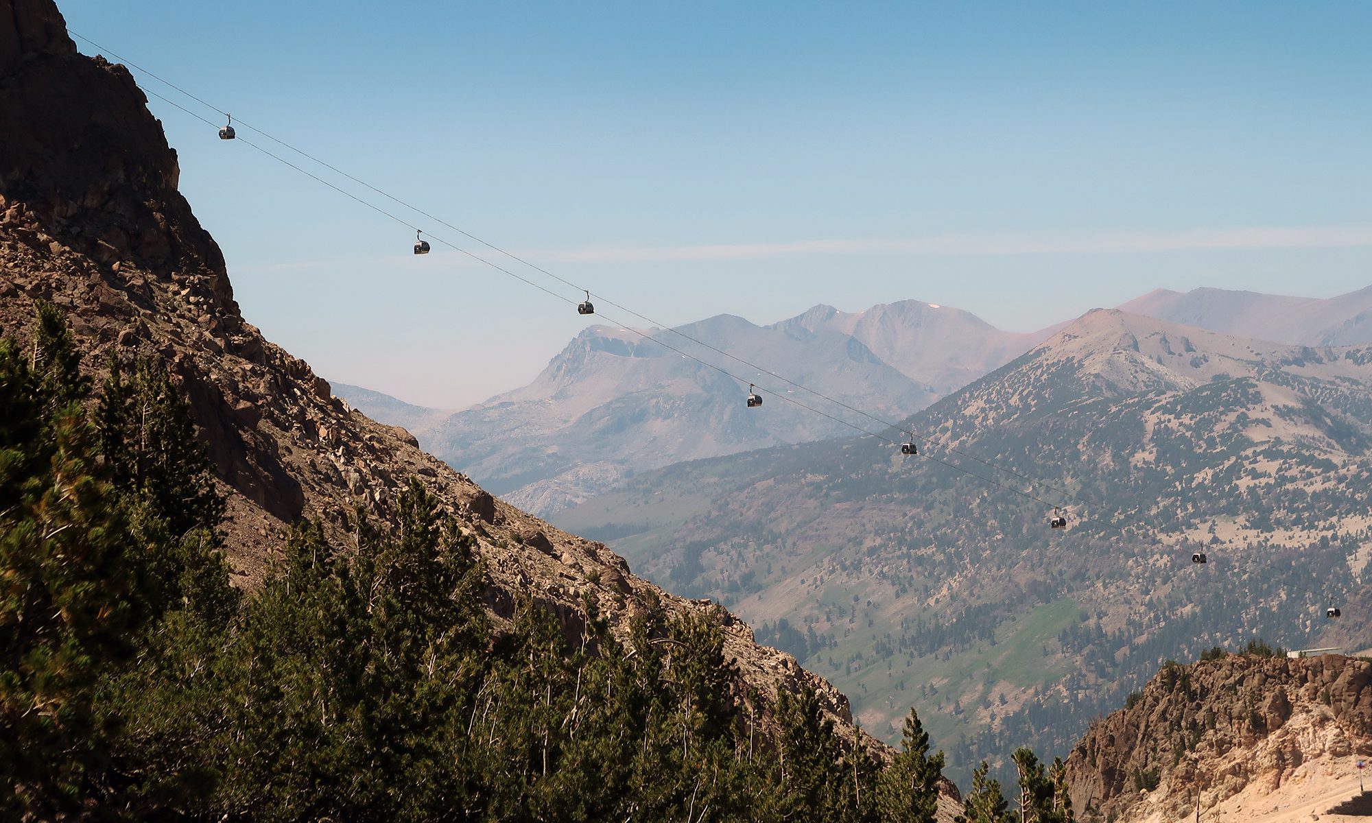
I drove the winding roadway towards the Devil’s Postpile National Monument around the crack of dawn. I had spent Saturday mountain biking at Mammoth ski area, staying overnight right near the main base. As luck would have it, the roadway to Devil’s Postpile runs right past the base lodge, underneath the gondola. The road promptly narrows from a standard 2-way state highway to a winding, unstriped mountain adventure. And the views from this drive are nothing short of stunning. Jagged stone peaks rose up from the rolling hills of conifers, snowfields, and rushing waters—the Eastern Sierras in mid-summer!

Continue reading “Devil’s Postpile and Rainbow Falls (Mammoth Lakes)”

High peaks trail (Pinnacles National Park)

California condors soar over sandcastle rock formations in Pinnacles National Park.

June 30, 2020, Pinnacles National Park

Google Fail

The day began long before sunrise, with a 2-hour drive to Pinnacles National Park. This outing would mark my second national park visit in California in only a few weeks. I aimed to arrive at Pinnacles around sunrise, so I could enjoy a multi-hour hike before the temperatures in central California inevitably climbed into the high 90s.

Continue reading “High peaks trail (Pinnacles National Park)”

Kings Creek Falls (Lassen NP)

Kings creek winds through a meadow surrounded by greenery and spring snowmelt.

June 20, 2020, King’s Creek Falls trailhead

I found myself with time to kill in Lassen National Park, having hiked to the summit of the park’s main volcano well before noon. being mid-June, many of the park’s signature attractions were still closed, due to snow, including the signature Bumpass Hell area with its steam vents and bubbling mud pits. That said, Kings Creek Falls caught my eye as a fun cool-down hike.

Continue reading “Kings Creek Falls (Lassen NP)”

Lassen Peak: an entry-level Cascade volcano

Blue skies over Lassen Peak

June 20, 2020, Lassen Peak Trailhead

Lassen National Park

I began the day an hour southeast of Lassen National Park, in the town of Red Bluff. The road to the park undulated through the rolling foothills of the northernmost expanse of California’s Central Valley. Through the haze, I could see the Cascades rising to the north and east ahead of me. First, Shasta came into view, still covered in snow along its uppermost flanks. Then Brokeoff and Lassen Peaks rose over the landscape, dead-ahead, both silhouettes against the morning sun.

Continue reading “Lassen Peak: an entry-level Cascade volcano”

Rim Rock Drive and the Coke Ovens (Colorado Nat’l Monument)

May 6, 2020, Grand Junction

I spent a day at Colorado National Monument while moving across the country in May, 2020. There are three basic ways to get from New York to San Francisco, with I-80 being the fastest. But I chose I-70 because crossing through the heart of the Rockies and Southern Utah seemed like a way cooler experience.

No surprise: the continental divide and Utah’s red rock vistas did not disappoint! But Western Colorado was the real sleeper hit of this road trip. Glenwood Canyon was perhaps the coolest part of the entire drive coast-to-coast. Grand Junction was a surprisingly cute town with some great eats. And Colorado National Monument was just plain stunning.

Continue reading “Rim Rock Drive and the Coke Ovens (Colorado Nat’l Monument)”

Devil’s Kitchen (Colorado Nat’l Monument)

carved stone steps take you to Devil's Kitchen at Colorado National Monument.

May 6, 2020, Colorado National Monument

The Devil’s Kitchen trail takes you on a short out-and-back to some super cool rock formations. It lies at the Eastern extreme on Colorado National Monument, near the park entrance. The same car park services the Serpent’s Trail and No Thoroughfare Canyon hikes. I highly recommend the former if it’s not too hot. Devil’s Kitchen proves short and easy and it packs a scenic punch—not to be missed!

Continue reading “Devil’s Kitchen (Colorado Nat’l Monument)”

Serpent’s Trail (Colorado Nat’l Monument)

Sunrise over No-Thoroughfare Canyon, as seen from the Serpent's Trail at Colorado National Monument.

May 6, 2020, Colorado National Monument

I arrived bright and early at the Eastern entrance to Colorado National Monument around 7 am. The “monument” features a collection of canyons that form the western wall of the valley containing Grand Junction.

Across town, the Sun had just begun to peek over the rim of the Eastern mesas. Its golden rays lit up the canyons I was about to hike in a stunning fashion. I can list many reasons to start a hike as early as possible—heat, safety, and better parking being the most important. But a gorgeous sunrise is perhaps the most compelling reason of all.

Continue reading “Serpent’s Trail (Colorado Nat’l Monument)”

High Rock (PNW)

August 12, 2018, Ashford Washington

In the summer of 2018, I ventured to the Pacific Northwest to take part in a guided climb of Mt Rainier. The day before the program began, another participant and I decided to stretch our legs, post-travel, with a quick day hike. The folks at the motel we were staying at had an unsurprisingly excellent knowledge of the region and its hikes. They warned us to avoid Rainier National Park, down the road.  They predicted an hour-plus line on this sunny Saturday afternoon in August—just to get through the gates!  Instead, they wrote down a list of turns to take via dirt logging roads to a nearby hike outside the park.  The hike was known as High Rock.  For anyone without the inside scoop, Google Maps can get you there just fine.

Continue reading “High Rock (PNW)”

Cascade and Porter

October 6, 2017, Mt Van Hoevenberg Trailhead

Arrival

They say life is more about the journey than the destination, and that’s obviously true of the quest for 46 high peaks.  But as I push on to climbing more of the Adirondacks’ tallest mountains, I really am struck at all the weird places it’s brought me and all the interesting things I’ve seen.  My trip up Cascade and Porter certainly provides an example of that.

The “normal” trailhead for Cascade is right off route 73 just after the stunning drive towards Lake Placid along Upper and Lower Cascade Lakes.  And from that trailhead, it’s roughly 1.6 miles directly up the slopes of Cascade to its bare rock summit. This unusually easy access to a high peak with a gorgeous view makes Cascade one of the most popular hikes in the region.

To summarize: short trail from the roadside.  Gorgeous views. Crowded summit.

But my experience with Cascade and Porter would involve none of those things.

Continue reading “Cascade and Porter”