August 16, 2024
Arrival
I left my apartment in Denver around 12:30 am, passing bars and sidewalks still populated with the Thursday night crew. I headed northeast, skirting past Boulder before heading into the foothills towards Rocky Mountain National Park. That’s when the rain started. “Uh oh” I thought … “already this is not going to plan.”
By 2am I had reached the trailhead for Longs Peak, the crown jewel of Rocky Mountain National Park. The trailhead sat just inside the park bounds, but arriving at such an ungodly hour I required neither a reservation nor much luck to find parking. I pulled up right next to the trail.
The moment I parked the light rain turned into a powerful downpour. “Welp … guess I should just sit back for now.” I turned off the car, lowered my seat back, and closed my eyes. One thing I knew for certain: I was not starting my hike in a downpour!
Longs Peak Logistics
Longs Peak would mark my final Front Range Fourteener. I banged out Grays, Torreys, Blue Sky and Bierstadt shortly after moving to Colorado. Pikes came a year or two later. But Longs is tricky. You hear horror stories of massive crowds through tricky segments like “the trough” and the “home stretch”. I resolved to hit it up on a non-holiday Friday, in August, with good weather. Staring at mountain forecast that past week, I decided the time had come. I took the PTO. I set my alarm for midnight. This was happening.
The forecast called for clear skies and low winds. And by the time I was up on the higher bits of the mountain, that would prove accurate. But Longs rises rapidly from the high plains of Eastern Colorado. And the forecast was for the summit … not the foothills guarding it from the meteorological treacheries of the Great Plains.
Well, now all I could do was wait. Luckily, about 30 minutes later, the rain ceased. And so I donned my pack and headlamp, crossed my fingers, and headed down the trail.
Stars and lightning
Setting off at 2:30 am made this a true “alpine start.” I don’t think Longs Peak really requires such an early start. I took my sweet time and was done by 2:00 pm. But maybe the parking requires such an early arrival. With hiking, skiing and all things outdoorsy, it seems to be a race to the bottom amongst the weekend warriors of the Front Range.
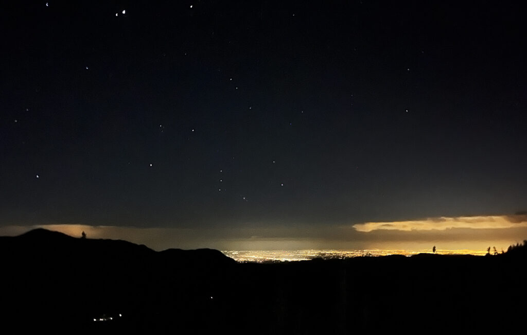
But starting early has its perks. The stars were out: Orion and various constellations I have no ability to name. I pushed towards tree line, the sky thankfully seeming to hold its shit together.
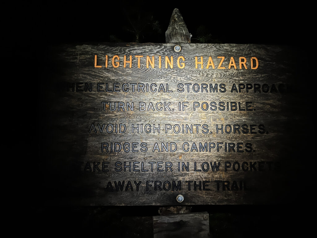
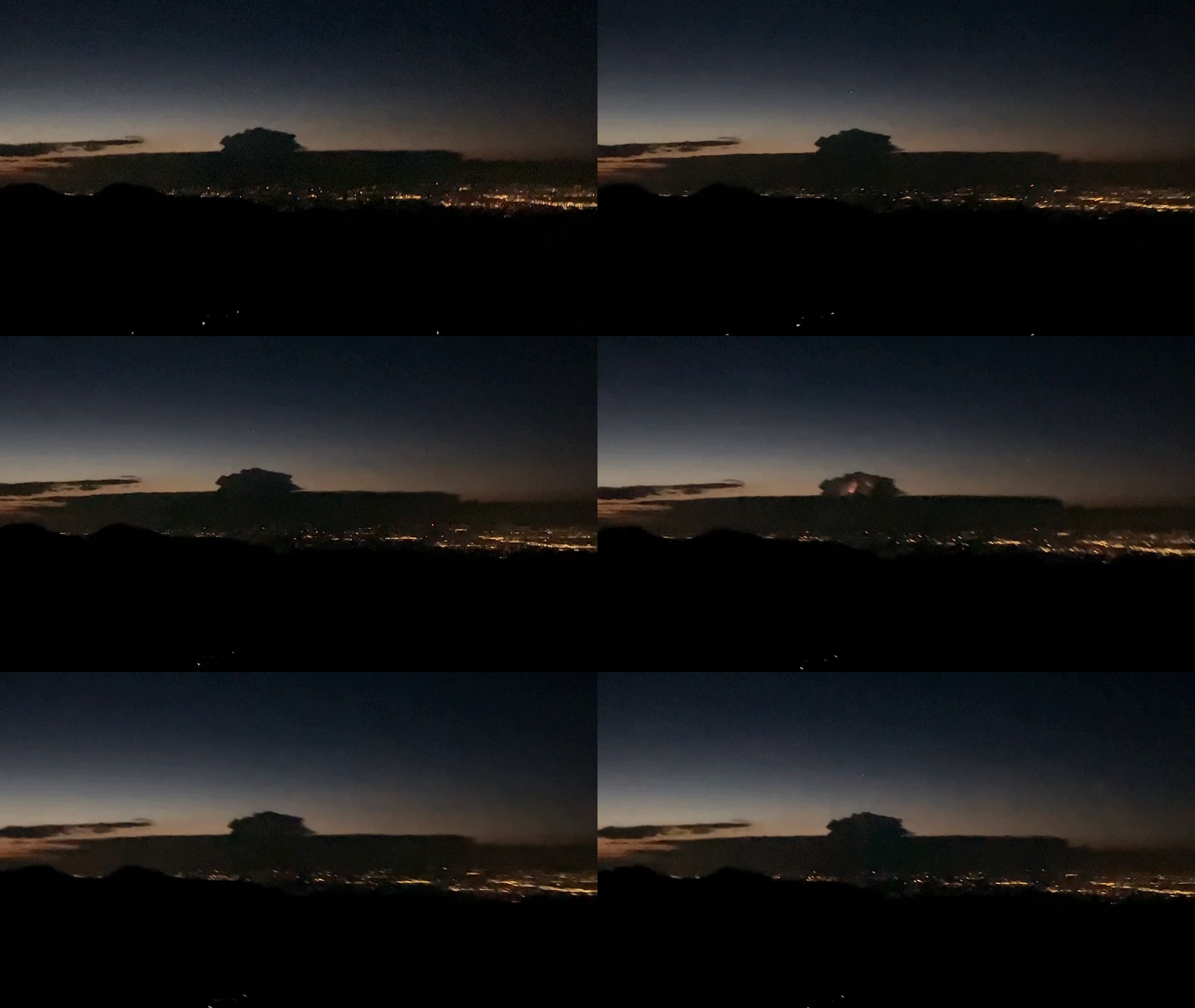
But as I emerged above the trees, I saw something both beautiful and ominous to the East: a raging thunder cell. It hung over the poor citizens Longmont (hopefully sound asleep at this hour). Massive flashes within and below the cloud set off every couple seconds. This is the opposite of the kind of weather you want to see climbing a fourteener.
A tough call
Now I was left with some decision making. Should I continue or turn around? I decided to push on and assess what the weather situation looked around the peak itself. After all directly above me were no clouds. The forecast called for clear, stable weather. And the angry thunder cell across the way over the high plains was probably heading East … like most prevailing winds in the Continental US.
As the peak finally came into view, I was dissappointed to see much higher clouds around the summit. At this point it really was a tough call. The clouds looked dark and moisture laden, but not like thunder cells? I don’t even know how I could tell that … I am no meteorologist. But I kept coming back to the slam dunk forecast. And, truth be told, I saw a bunch of fellow hikers also pressing onward. It would be another hour or two before I was in high commitment, high consequence terrain. I had time to mull it over.
Longs Ho!
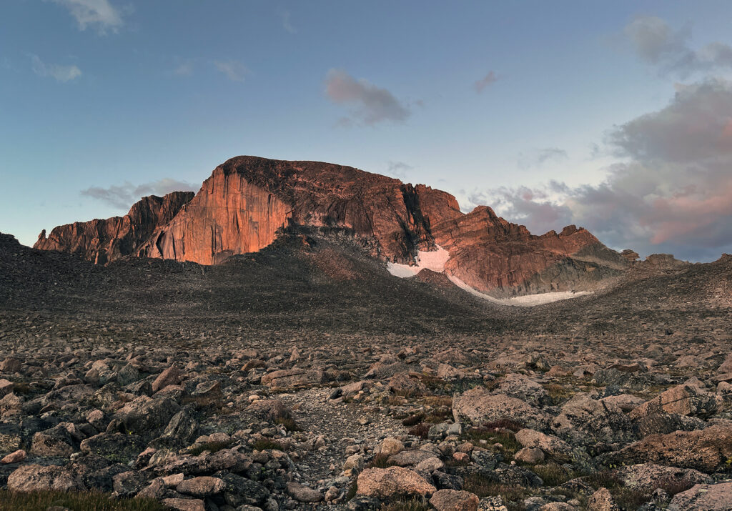
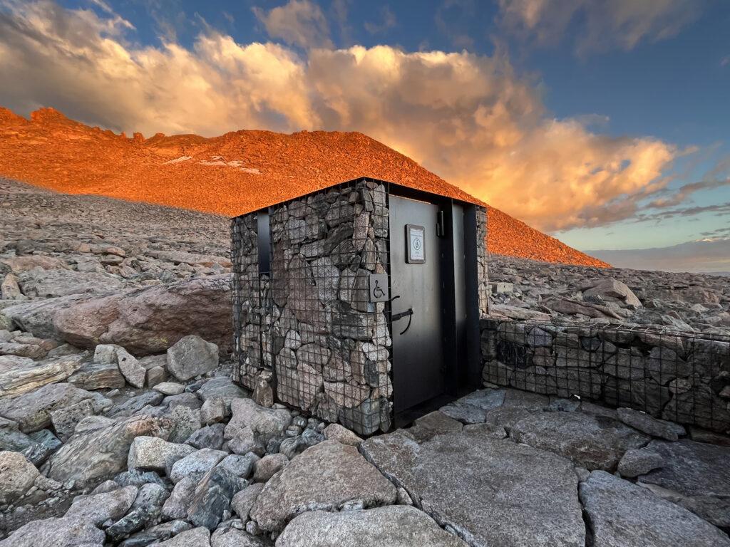
Around dawn, the peak itself came into view. I was nearing “the boulder field”, a storied backcountry camp spot around 12,800′, just north of the summit. While I wasn’t planning to camp there, I was still incredibly excited to reach it. The National Park Service had erected a glorious backcountry privy in the boulder field: complete with a real vault toilet and stone walls. My digestive tract, it seems, is unionized. And it simply refused to work overtime for a 2 am departure.
A lot of folks aim to summit Longs as an overnight. They backpack the lower route to 12,800’—a relatively gentle but still very formidable ascent. Then they summit the next morning having “slept” near 13,000 feet. The upside of this approach: you wake up with a mere 1500 vertical feet to tackle. But the downside is lugging all that extra weight up and down a very long trail rising the equivalent of roughly three Empire State Buildings.
Plenty of Colorado 14ers basically require backcountry camping (e.g. Snowmass). And I’m more or less happy to do it when that’s the case. But Longs Peak, in my view, is probably lower-effort and slightly more enjoyable as a one-and-done. At 5,100 vertical feet and 14.5 miles, it’s a beefy day hike, for sure. But it’s not insane. And so there would be no freeze dried dinners or endless water filtering on my Longs adventure.
Where the sidewalk ends
Around the Boulder Field, the gently rising trekking trail ends. Until this point the route is “Class One,” an entirely non-technical romp through the park. At the boulder field, you then need to navigate “talus” … large uneven shards of rock (boulders) that graduate the route to “Class Two”. It’s not until the “backside” of the hike—the Keyhole Route—that you reach full-on scrambling, or “Class Three.”
Actually, Longs Peak has several famous routes to the summit. There’s a Class Three ascent called “The Loft” that’s way less frequented and a bit more hair raising. There’s something even more technical known as the “Cables Route”. The truly badass way to ascend longs is via “The Diamond” with nearly 1000 vertical feet of sheer rock cliff. Routes on the Diamond can be arbitrarily difficult (high-rated Class Five). Such a sheer cliff, or solid rock of any kind on a Colorado 14er, is truly a rarity. Longs is one of just two fourteeners to host one the “50 Classic Climbs” in North America (the other, much easier one, is Crestone Needle).
But I’d be sticking to the entry level Keyhole Route. And that was adventure enough for me! It is, by far, the most technical standard route of the Front Range Fourteeners. And as discussed below, it has claimed its fair share of casualties over the years.
Towards the Keyhole Route
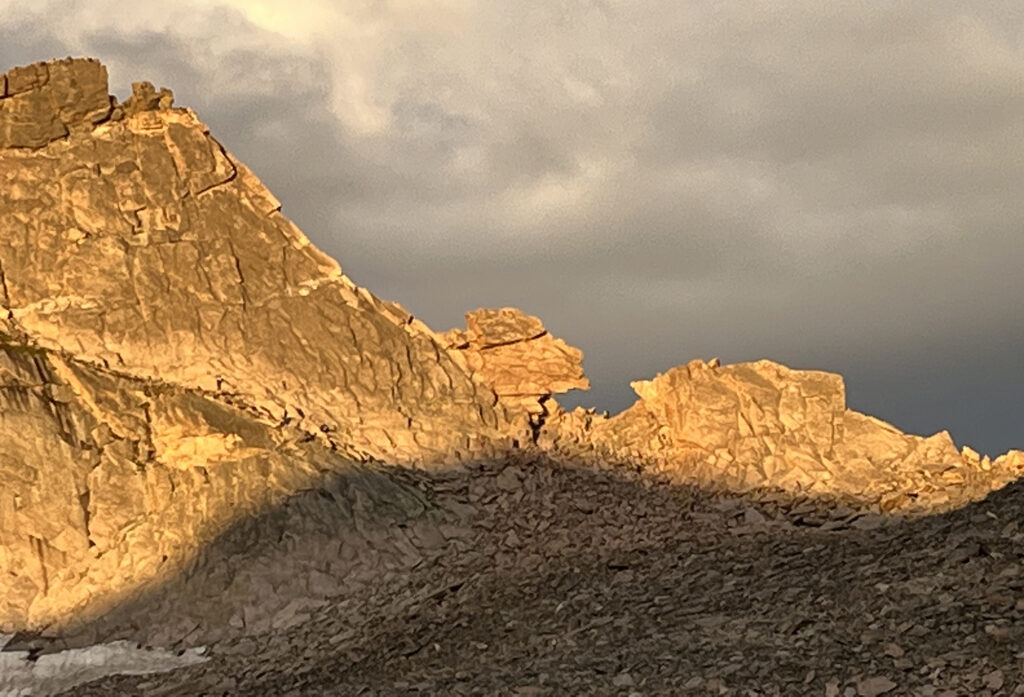
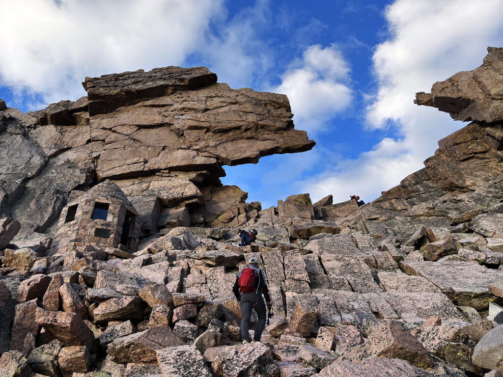
The “Keyhole” takes its name from an awesome rock formation that marks a sort of “portal” to the backside of the standard route. It looms over the boulder field, and you approach it on an increasingly steep pile of talus. It definitely gives me “Hobbit” vibes. One of the coolest moments in the classic book is when the “last light of Durin’s day” illuminates a keyhole granting entry into the Lonely Mountain. And now here was a keyhole illuminated by the first light of, well, most sunny days. And it grants safe passage to Longs Peak.
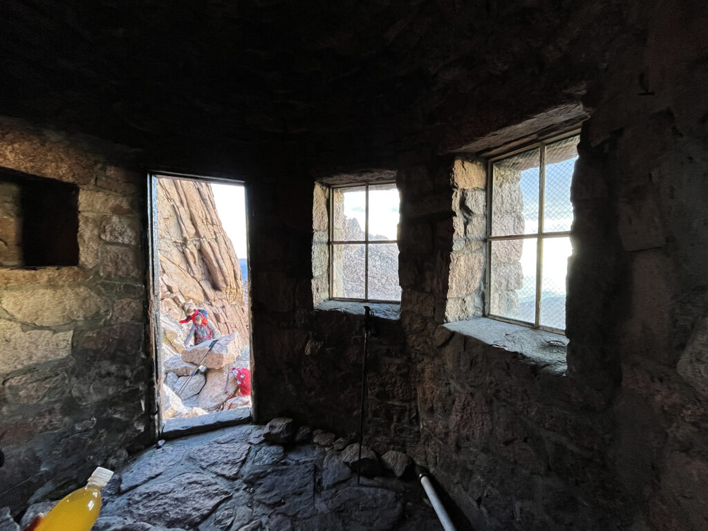
I huffed and puffed as I scurried up the hill of talus. The Keyhole loomed large above, and an adorable stone shelter came into focus just below it. The shelter has no door and probably not enough room for a sleeping bag. But you can hang around inside it, and undoubtedly many a poor soul has huddled against inclement weather inside. It sort of presents as a “toll booth” for the Keyhole Route just beyond.
The Keyhole Route
At long last, with just 1000 vertical feet left to the summit, I had reached the class Keyhole Route. Longs Peak is by far the most popular Class Three 14er. And until recent decades, it was one of just two peaks (along with Pikes) with a marked, maintained trail to the summit. Thus pretty much everything about this mountain and this route has a name. The Trough. The Narrows. The Home Stretch. It’s a lot of definite articles for one mountain.
But here it was at last, and you know what? I think the hype is somewhat earned. This is a very special experience. Especially on a weekday with iffy weather, when it was honestly no more crowded than my experience on, say, the Wetterhorn or Sneffels.
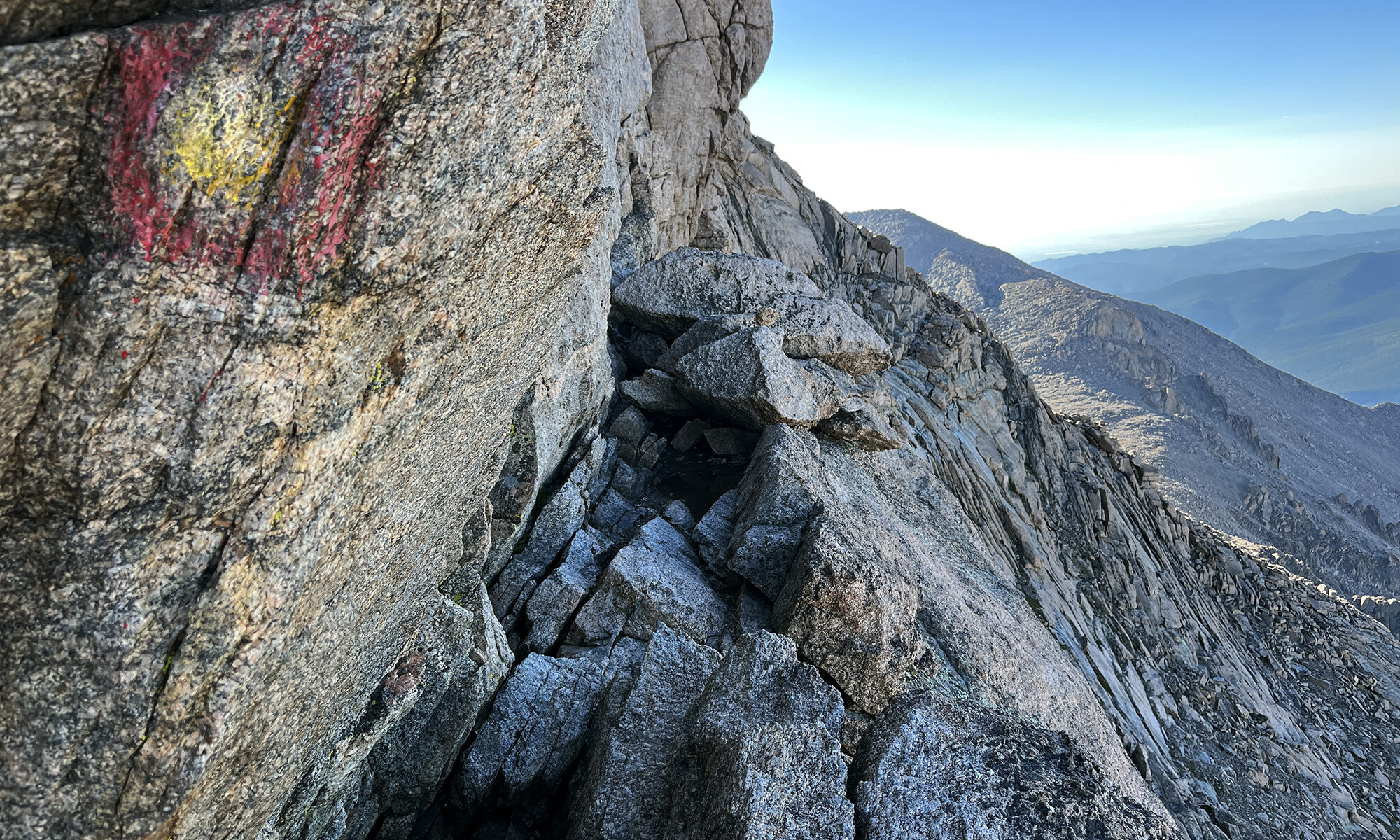
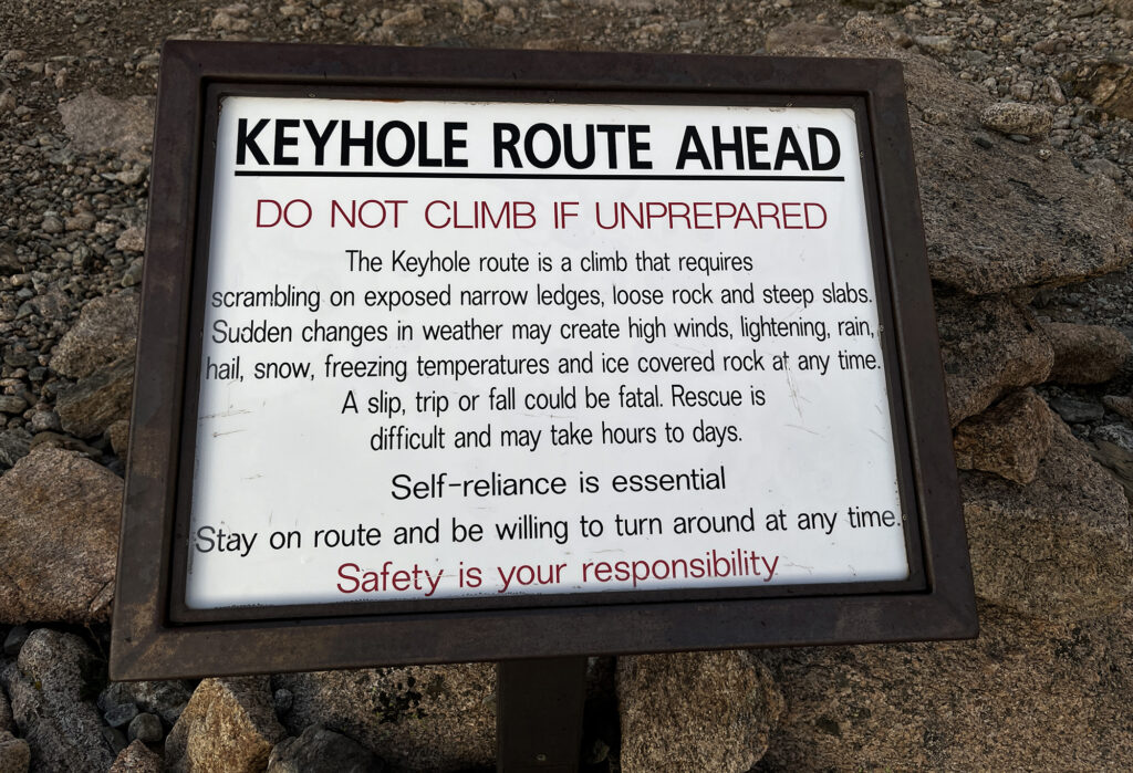
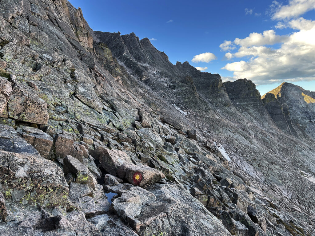
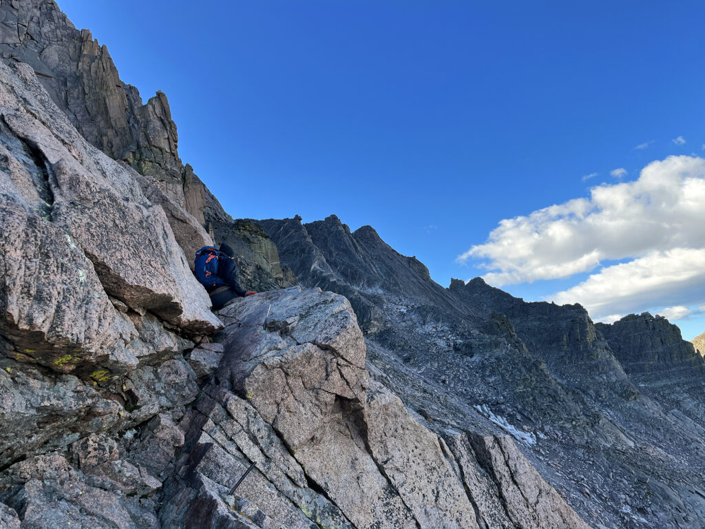
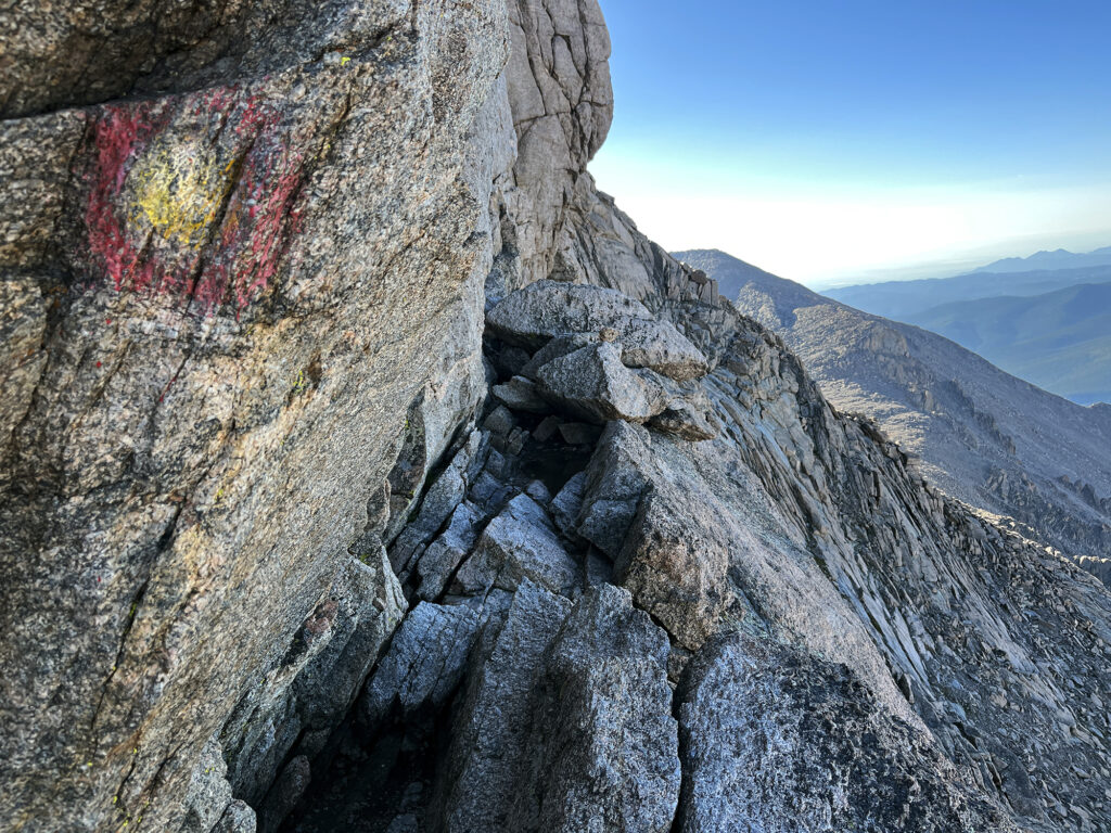
The backside begins easy enough. You’re clearly in more consequential terrain, but it’s mostly horizontal/rolling to start. There are brief moments of exposure (sheer drops off to one side). At one point, you can see a permanent steel rod anchored into the rock, where a guide can quickly belay a nervous climber. But most of this early segment proves benign.
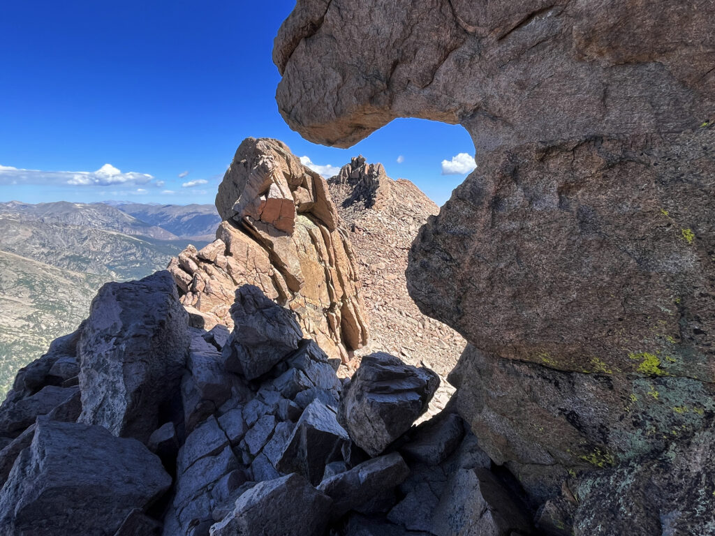
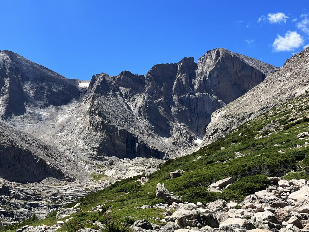
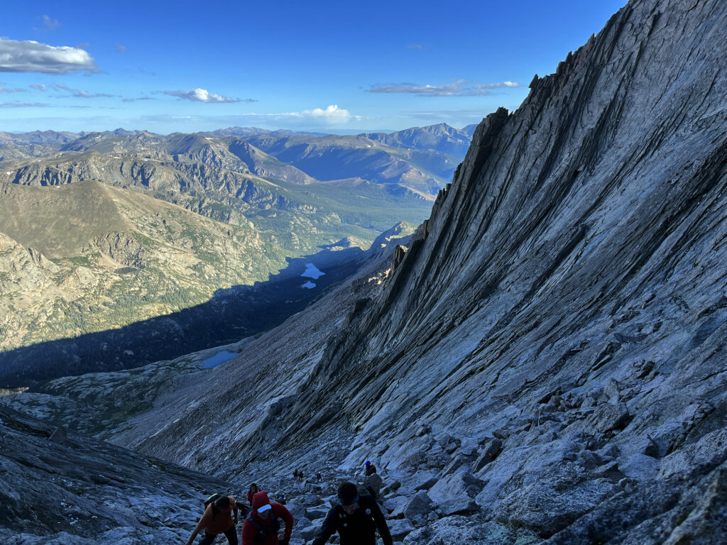
The scenery shift, after a long push to the Keyhole, is the best part. Your views suddenly expand into the gorgeous, lush valleys and peaks of RMNP. In the morning, this is the “dark side” of the mountain. Striated columns of 1.4 billion-year-old “silver plume granite” rise above “the trough,” a somewhat steep climb halfway along the Keyhole Route.
Morbid Mountain Math
As mentioned earlier, the Keyhole Route has its fair share of tragic accidents over the years. Longs Peak in general has the morbid distinction of being the Colorado 14er with, by far, the most fatalities.
Longs is not the most-climbed fourteener. Not by a long shot. Peaks like Quandary and Grays see multiples as many hikers each summer.
And Longs is not the “deadliest 14er” if you wisely want to use the metric “what are my odds of dying on this mountain?” Per-attempt, the Maroon Bells and Capitol far exceed Longs.
But the multiplication of those two factors: how many total climbers does a peak see, times how likely are you to die, makes Longs number one. Many of those deaths take place in extreme conditions or on non-standard routes. But the Keyhole Route in summer has seen its share of fatalities.
That the National Park Service, a venerable appendage of the Federal Government, maintains, blazes, and markets this hike as a reasonable thing to do with your day is what truly amazes me. Then again, this is the same NPS that stations rangers at 14,000′ on Denali in Alaska, ready to chisel people’s faces from the walls of crevasses. What a bizarre agency!
The Home Stretch
I powered through all those famous little stretches of the Keyhole Route. And you know what? Most of them were nothing too crazy. I am not a big fan of exposure. But I found most of the route to contain only brief bouts of vertigo. In particular, “the narrows” was easy peasy in my book. You walk through a cute little trench, and in the middle a giant boulder blocks your way. You could be a hero and swing out over a precipice. Or you could be like me, and just squeeze around the inside.
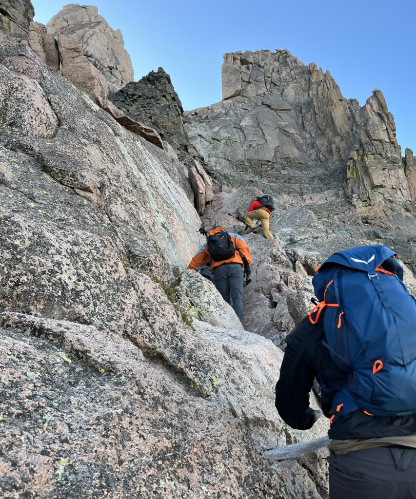
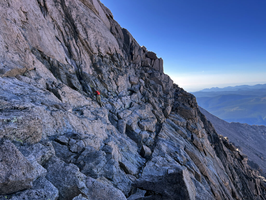
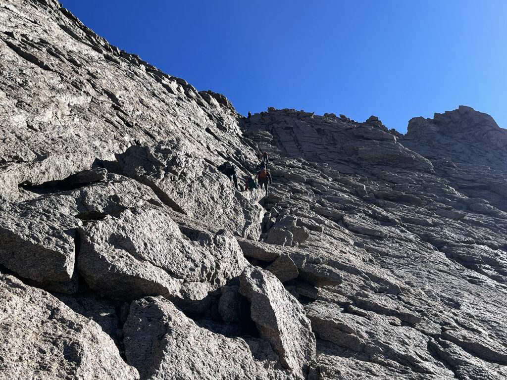
The last of the twelve trials of Longs Peak is, aptly named, the Home Stretch. And this one section, I think, is what really graduates Longs to a big boy Class Three summit. It’s just a big ole stretch of slabby rock. And it’s pretty darn steep. I was hoping all the photos I’d seen were somehow exaggerating things. But it looked just as intimidating in person!
This is mostly just psychological. There’s nothing tricky about scrambling up the home stretch. There are multiple reasonable lines to take. From the info I’ve read, it’s somehow always got running water in it. But the real challenge is just your brain saying “hey, we are somewhere near the magical angle where the coefficient of friction between your boot and this rock is not gonna hold your far ass on the mountain anymore!” But I’m happy to report, you can tell your brain “Brain, we have not yet reached that angle!” Unless your boots are incredibly worn or there’s bits of ice on the rock. In which case you can say “brain, you may be right. Let’s go home now.”
Longs Peak
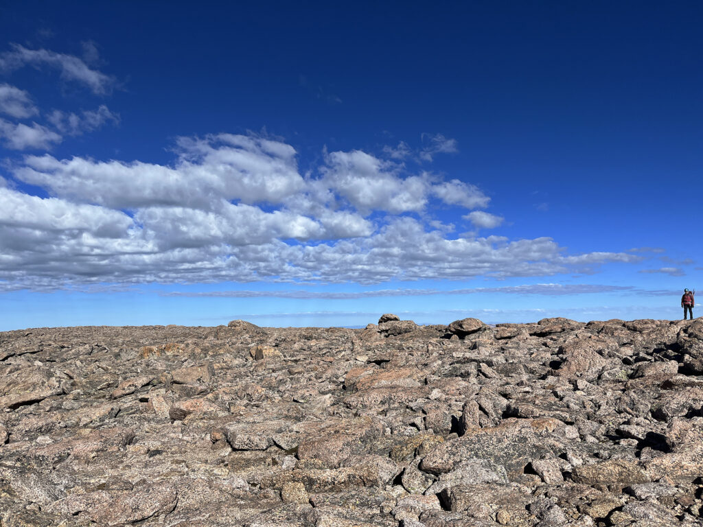
Immediately after the home stretch, I reached the flat, broad expanse of the summit. An irony of Longs Peak is that for all its vertiginous drama, you could probably hold a football match on the top. That’s how wide and flat it is.
Longs Peak is named after explorer Stephen Long, who is said to have spotted this stretch of the Front Range on an expedition in the early 1800s. Longs Peak lords over the northern Front Range, visible form Fort Collins, Denver, and points East and South. In Denver, I often find myself stopped at a traffic light or sitting in a cafe when I gaze up and realize there it is.
Around when I started the Home Stretch, the sky had morphed into the bluebird day the forecast had promised. And so I sat on the summit, in the summer sunshine, enjoying some well-earned summit snacks. I tried to just focus on the views and the vibes. I was not looking forward to down-climbing the home stretch. But that was a future-me problem.
Well, moments later, it was time for future me to descend. This was … less than graceful. I scooted on my butt/crab-walked much of the way down. There’s no shame in the butt scoot. On one section I found particularly troubling, as I willed myself to scoot, I saw a 20-something girl just walk right past me. She was wearing trail runners, and moving as if she were late to catch a bus at the Port Authority. It kind of blows my mind how some folks are so accustomed to this stuff.
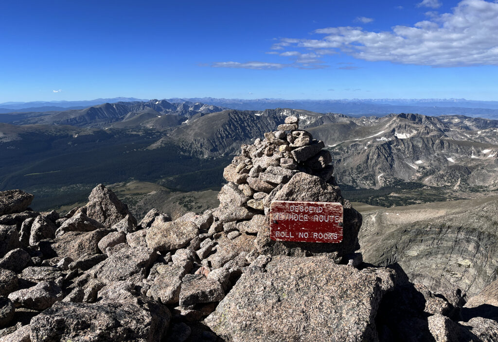
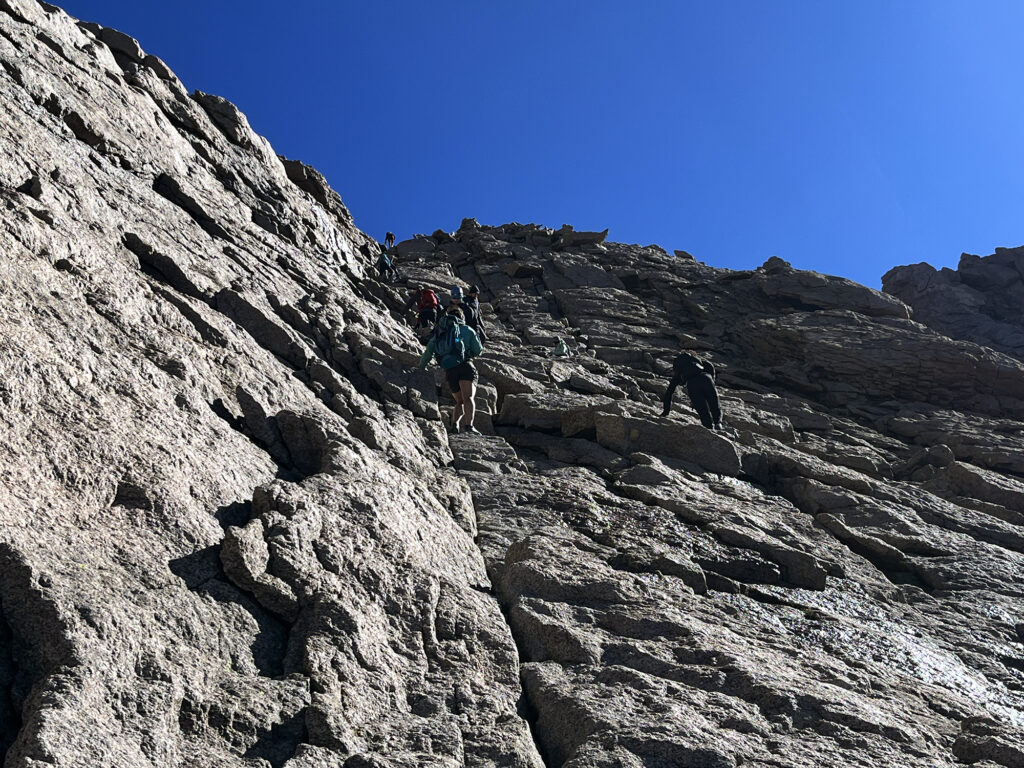
The long and winding road
I had made decent time after my early start. Most hikers were well behind me. Most trail runners were far, far ahead. And so as I descended below the boulder field I had the trail largely to myself.
Now it was just one of those long, grinding return journeys with the sun overhead. To be sure it was breezy and pleasant. I stopped a couple times for drinks and snacks. I’ve learned the hard way on Kit Carson during a heatwave not to over-do it.
I saw a couple hiking along the route towards an alternate destination: Chasm Lake. I’d have to save that detour for another day. I saw climbers with ropes likewise heading that way to tackle the Diamond. That was probably not in my future!
Soon enough I was back at the car, with the whole late afternoon ahead of me. I had avoided getting drenched, electrocuted, or pulled off the mountain. Longs Peak was in the books.
