June 22, 2024
From Mountains in the North Down to the Rio Grande
We zipped along State Route 149 around dawn, towards the tiny, picturesque mining town of Creede. The road followed the Rio Grande River, perhaps 50 miles from its headwaters in the rugged San Juan Mountains, and nearly 1,800 miles from its discharge into the Gulf of Mexico.
The road swung around the outskirts of town. Then we pulled off the highway and trundled along a dirt road that rose up into the mountains. The road climbed over 2500 vertical feet, towards our intended trailhead at West Willow Creek at 11,500′. I say “intended” since the road is rated “easy 4WD” which is usually Subaru-able, depending on the driver’s temerity. Luckily it proved passable without incident.
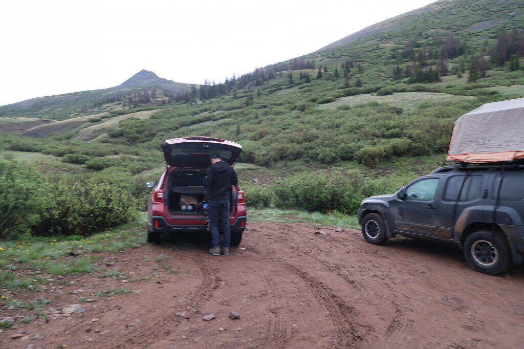
This ranked among the higher 14er trailheads, delivering us to a rolling draining of meadows and sparse trees. The first “leg” of our journey would involve ascending through the drainage, to San Luis Pass, just 400 vertical feet above. There we’d sync up with the famed Colorado Trail.
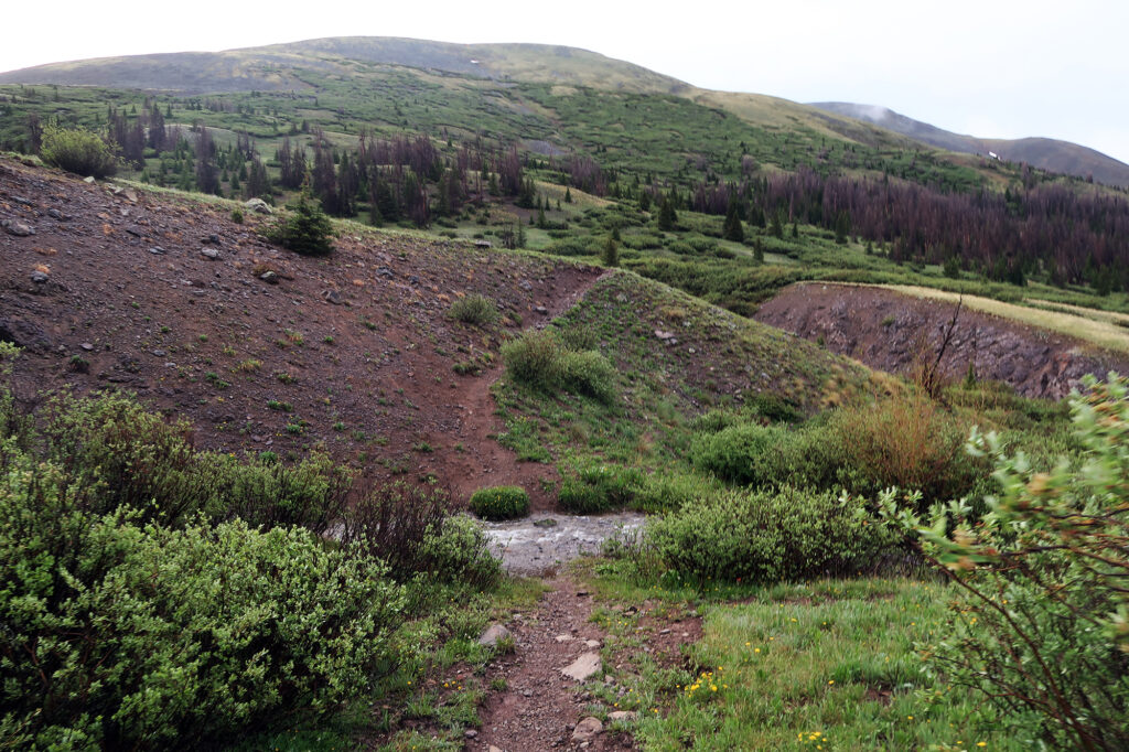
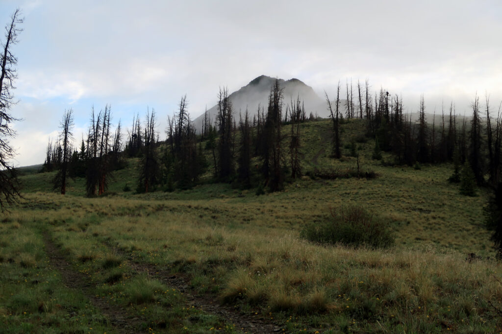
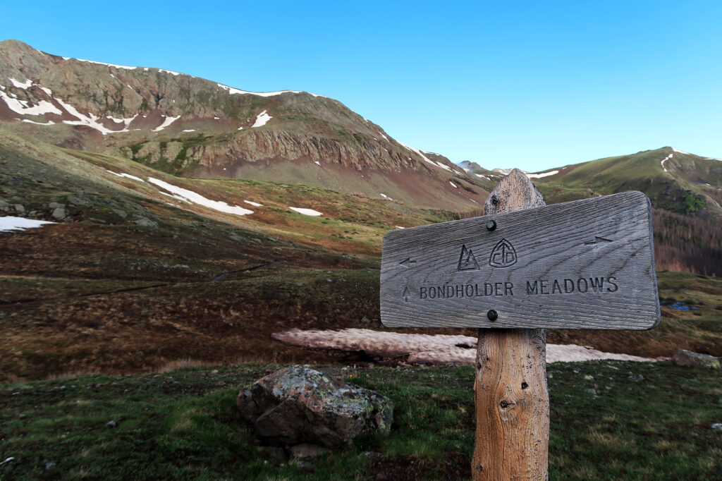
Along the Colorado Trail
The Colorado Trail runs 486 scenic miles from Denver to Durango. It largely hews to the Continental Divide, often running coterminous with the Continental Divide Trail. The Colorado Trail does not summit a 14er, but it gets quite close to several, including many Sawatch peaks like Massive and Elbert. San Luis Peak ranks as perhaps the easiest 14er to tack onto a Colorado Trail thru hike, and we’d run into multiple through hikers on our brief journey along it.
San Luis has two Class 1 (non-technical) approaches to its summit from either the north or South. 14ers.com lists the northern approach as the “standard route”. But they are comparable in distance, vert, and driving time from Denver. I advocated for the southerly approach since it involves the Colorado Trail and the adorable town of Creede. But I think the northern route has better camping options.
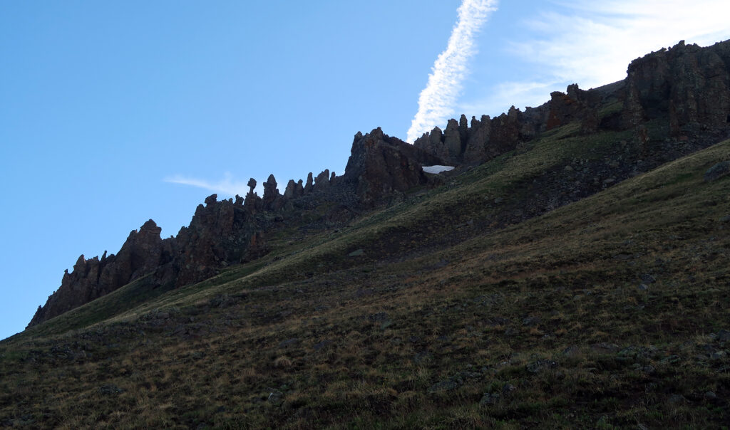
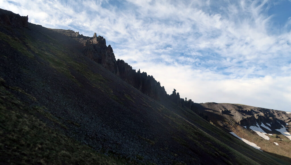
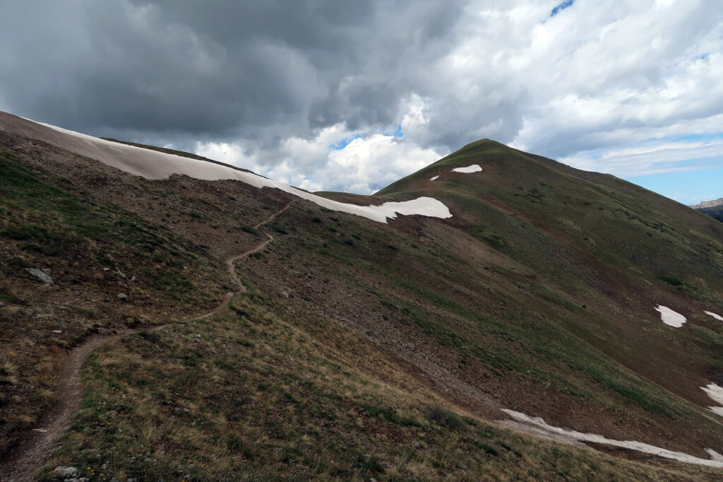
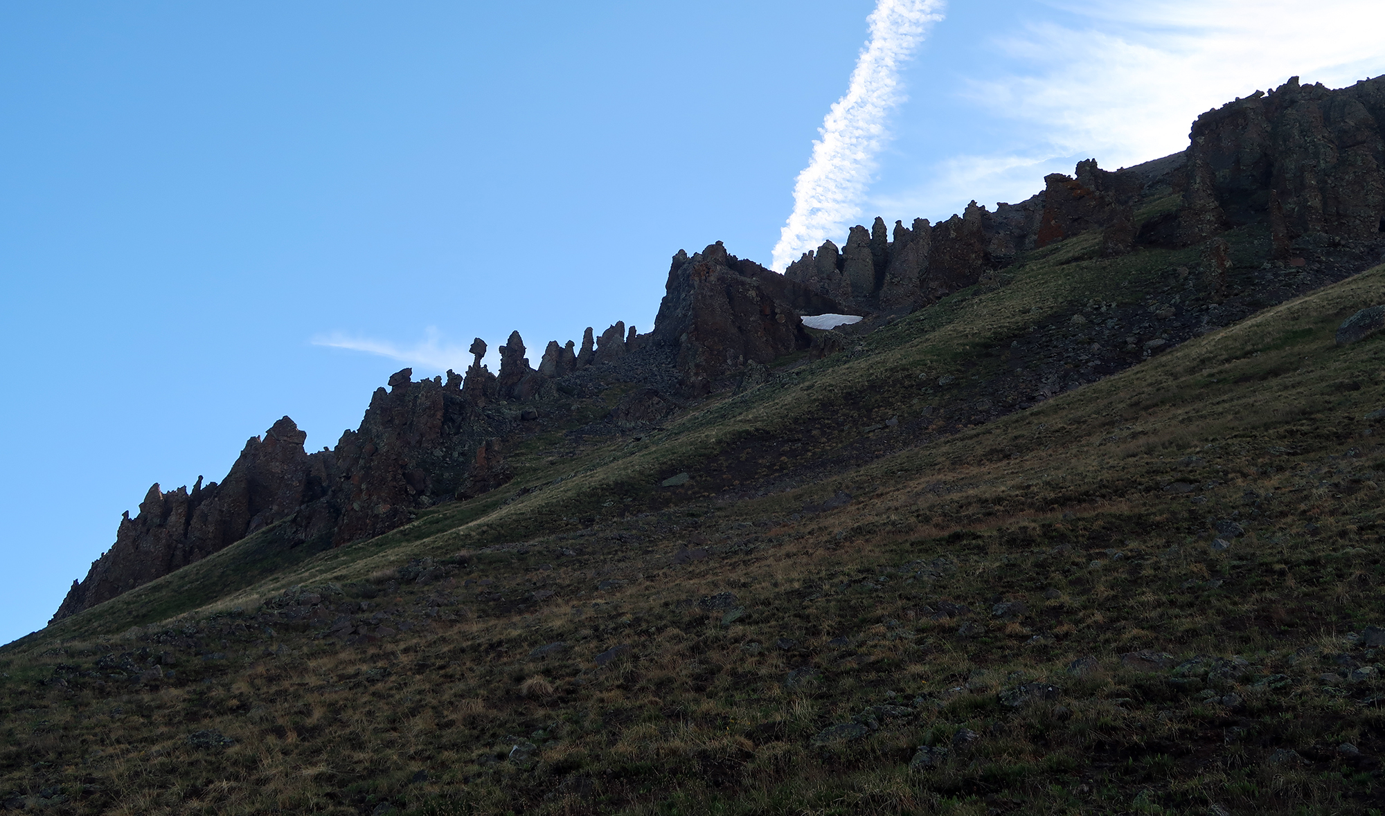
Our approach involved 11.5 miles of round-trip trekking, with 3200 vertical gain along a rolling profile. A big middle chunk, along the CT/CDT, didn’t involve much vertical gain at all. This segment arced through a beautiful, remote basin. The trail effectively “contoured” at roughly 12,500′. We passed through stands of sickly pines and patches of late June snowpack. Only occasionally did the trail cross lingering snowpack. We also saw some funky rock formations—remnants from the San Juan’s volcanic past that left it rich with minerals.
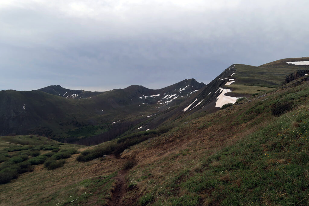
Birds Eye View of San Luis
We inched around the massive basin, closer to the peak itself. We’d ascend from a saddle around 12,500′ on the far side. Ahead in the distance, we could see the silhouettes of hikers who had arrived even earlier than we had. They were slowly climbing towards the summit.
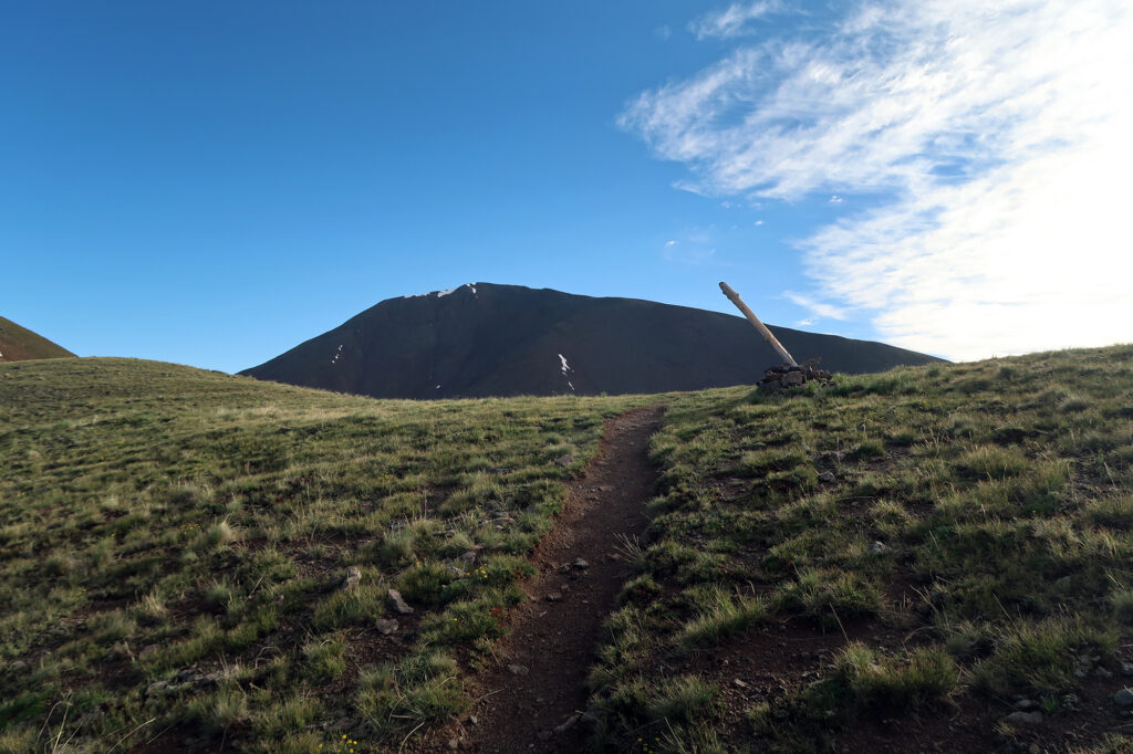
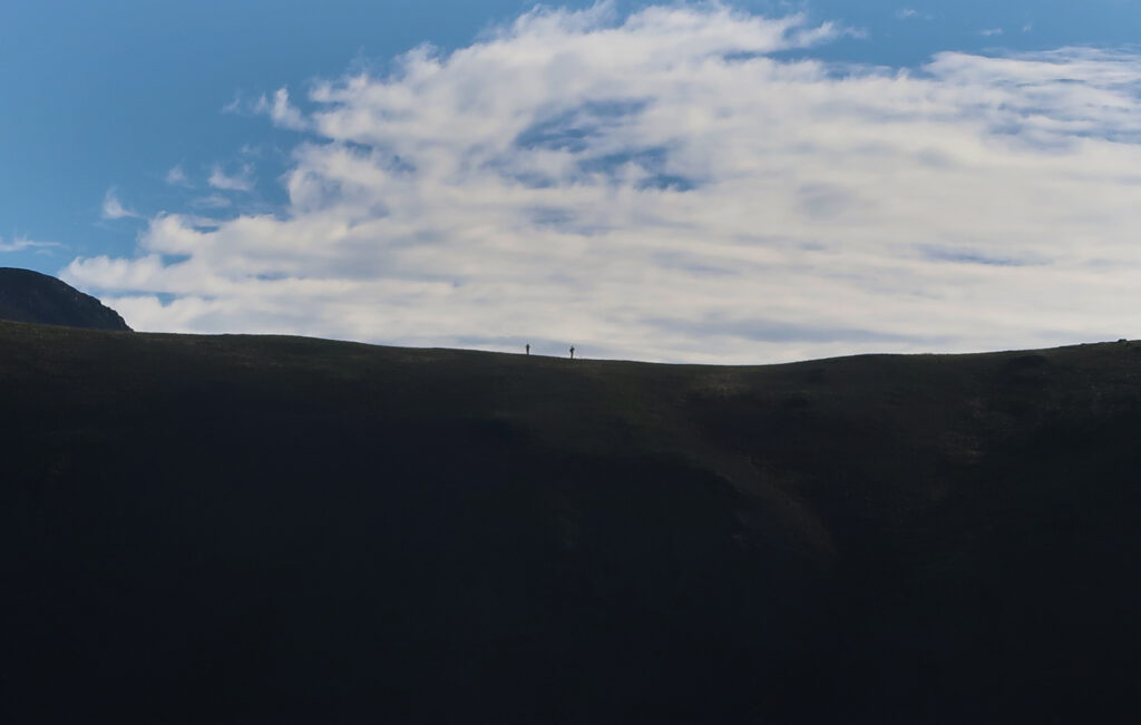
Upon reaching the saddle, the trail went from flat/rolling to a proper climb. We’d ascend over 1500′ to the summit. But it was never particularly steep. San Luis Peak is a gentle giant, in stark contrast to most of the rugged and rocky 14ers of the San Juan Mountains. It sits isolated from the others in the range, much further East and near the eponymous San Luis Valley.
The massive valley lies between the San Juan and Sangre de Cristo Mountains, and forms a vast, flat expanse roughly the size of Delaware. We could see the valley from this point on the trail. Early on this rainy June morning, it was covered in low-lying clouds.
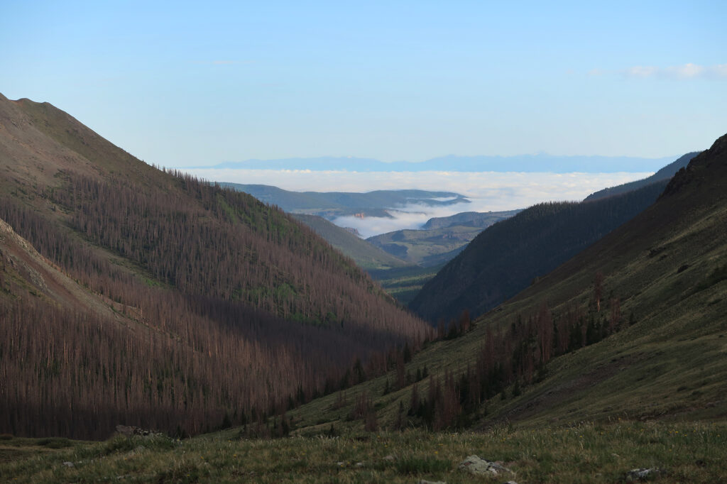
The San Luis Valley connects into New Mexico, and the ancient pueblos near Taos. It was the first area of modern Colorado to be settled, including the aptly named town of San Luis, near Culebra Peak.
Approaching the Summit
We tramped up the comparatively steep, uniform slopes towards the summit. San Luis is among a handful of “Class I” 14er summits, a list including Quandary and Grays Peaks (among the most popular 14ers). This peak was far less visited, since it sits in one of the most remote corners of the state. It’s quite a drive to reach San Luis Peak, from any major or middling population center.
The patches of snowpack grew broader as we approached 14K feet. But the trail along a southern ridgeline remained dry. We stopped about 2/3rds of the way up, to chat with a bunch of other hikers. It was an oddly specific group of through hikers and peak baggers enjoying this gentle giant. No one just casually shows up to hike this mountain!
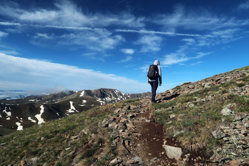
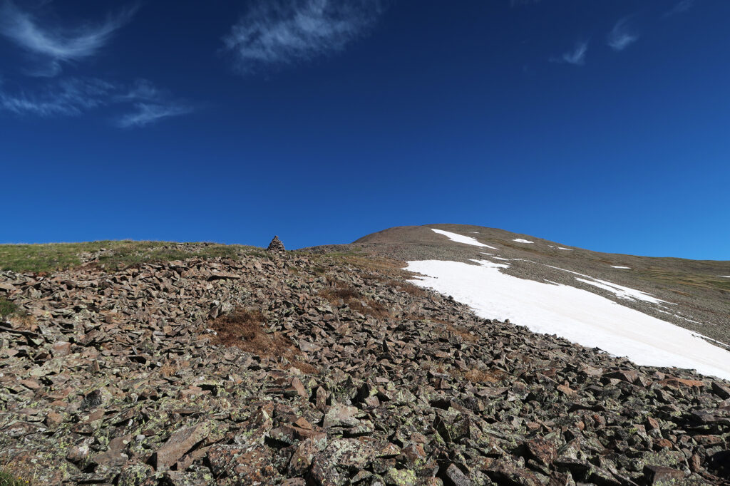
As we neared the summit, views opened up into the heart of the San Juans. I saw the distinctive, charismatic summits of nearby Uncompahgre Peak and the Wetterhorn—among my favorite fourteeners. The views of the San Luis Valley, and the distant Sangres, also grew expansive. This was a uniquely panoramic vantage point in terms of Colorado geography!
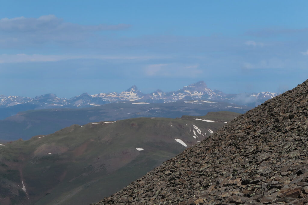
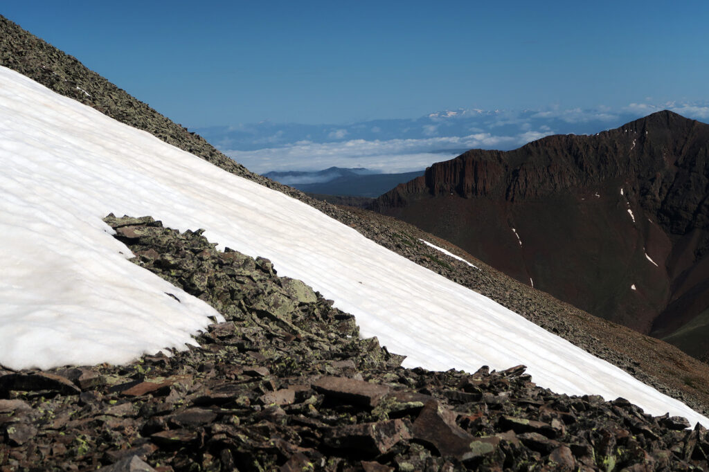
San Luis Peak
Finally we reached San Luis Peak! There were perhaps a dozen climbers on the summit. Not crowded, but enough to create a festive atmosphere. Roughly half the hikers had come from the northern approach. The other half along the route we had passed. We met a CDT through hiker, en route from Mexico to Canada!
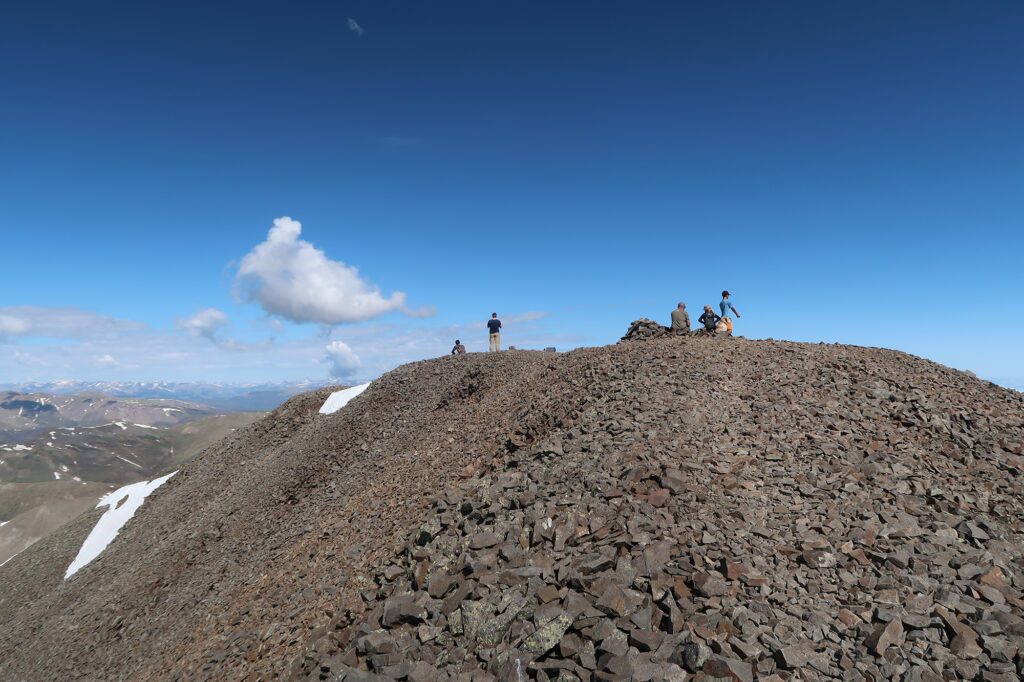
The Return
We lingered on the summit for perhaps a half hour, chatting and snacking and relaxing. It was warm and sunny, with few clouds overhead. But we knew it wouldn’t stay that way. The forecast called for rain and potentially lightning to move in within the next few hours. And we knew we had a couple hours of rolling trail to cover, almost entire devoid of tree cover.
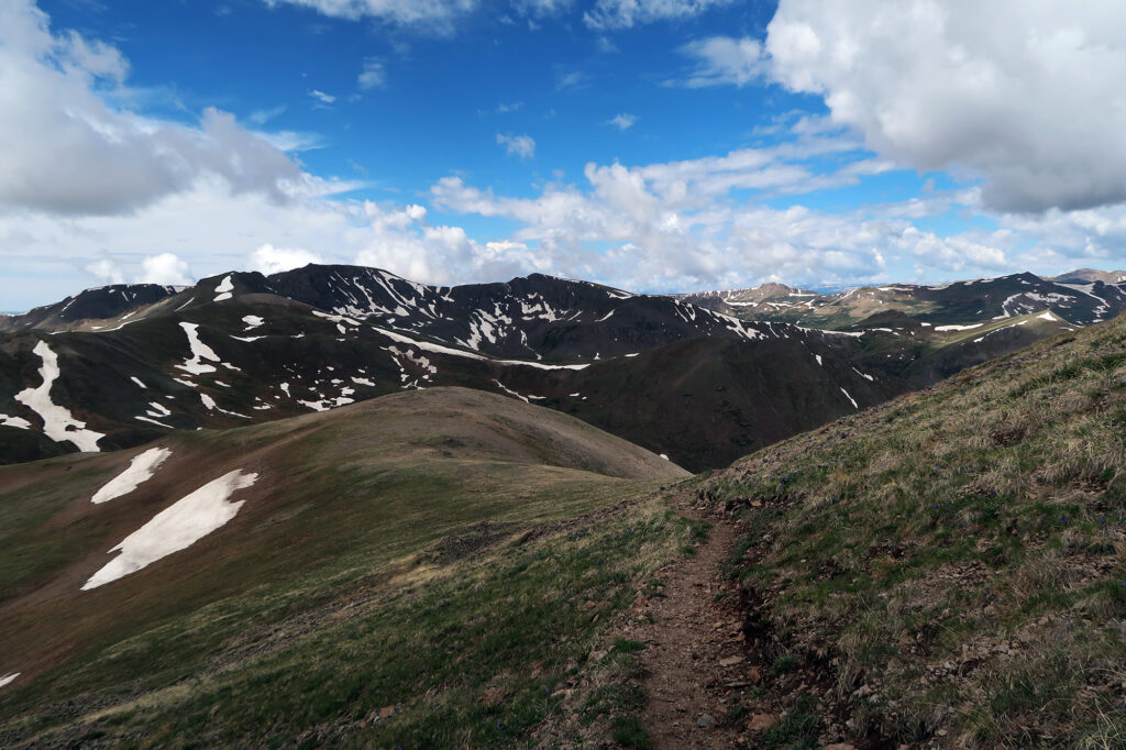
We descended back to the saddle without incident. Then we did our best to power along the flat/rolling stretch of the CDT, back through the broad, remote basin to San Luis Pass. Nearing the end of this, the skies grew much darker. Small bits of hail began to pelt down on us. We debated lingering under a scraggly stand of trees, largely stripped bare by beetle kill. But decided to press onward to the car.
The hail grew in intensity. I put on my rain jacket (a rare occurance in Colorado!), mostly because the pellets hurt. It was like some sort of demonic massage experience for my shoulders and arms.
But soon enough we were back at the car, and safely under the cover of steel and glass. We trundled back down the dirt road, towards Creede. The weather improved rapidly as we descended, and we made a detour to stop at the quirky Last Chance Mine. Another 14er adventure was in the books.

I love hearing about your adventures and seeing the pictures! Thanks for sharing