
September 16, 2023
Winter is coming
On my quest to summit every Colorado 14er, the San Juan Mountains have always presented a formidable challenge. The Elks may be slightly deadlier. And the Sawatch slightly more numerous. But the San Juans make up for these shortcomings in sheer remoteness. Getting to Southwest Colorado is just a lot of effort.
And so summer 2023 had nearly passed me by without a San Juan Fourteener summit. I’d been down in the area back in July for the gorgeous Sneffels Traverse. But thanks to abundant snowfall that spring, most peaks were still socked in. I usually finagle a trip to the San Juans Labor Day Weekend. But this year logistics intervened.
In mid-September I resolved to fix this, booking a room in gorgeous Lake City for the third weekend in September. As luck would have it, the first meaningful snowfall of the season would also arrive that Friday. I realized 9 inches of fresh snow would drape the southern and western mountains just in time for my hikes.
Winter was coming, and snow had arrived early. I grew concerned about the implications of this. Could 9 inches on bare ground present avy risk? Would the routes be icy or treacherous? Would I get bogged down in snowdrifts?
Driving down from Eagle County, along the Sawatch that evening did not help. Grabbing gas in Buena Vista, I peered up at Mount Princeton, which was blanketed in an impressive layer of snow. Nevertheless, I resolved to just bring along my microspikes, asses as I went, and hope for the best.
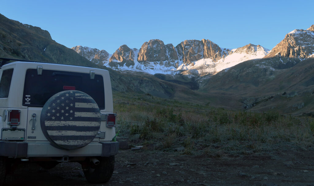
Along the Alpine Loop to American Basin
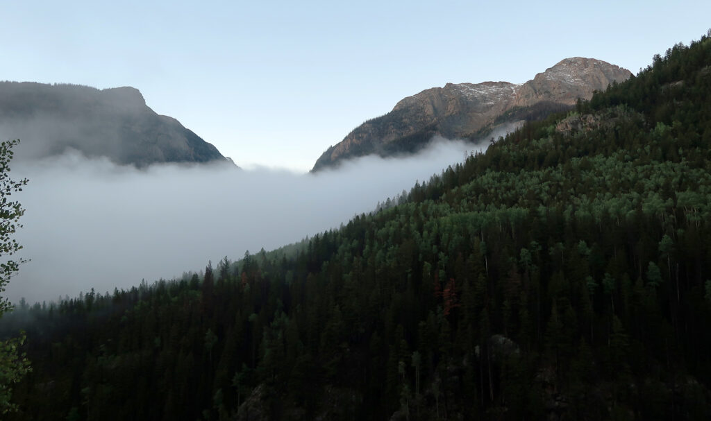
The next morning I awoke before dawn to get an early start on Handies Peak. Dawn slowly illuminated fall foliage and verdant, post-storm hillsides. The dirt road leading to Handies was part of the famous “Alpine Loop”, a 4WD dirt road leading over incredibly high mountain passes through the rugged heart of the San Juans. I had driven much of this segment the year prior, en route to Redcloud and Sunshine peaks. But the drive still proved stunning.
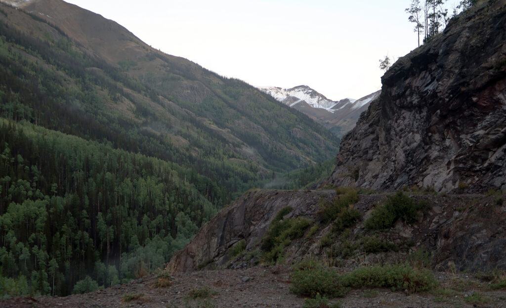
As I trundled along through the riparian zone, I took care to navigate my car through the “off-road light” experience. My Outback had 9″ of ground clearance, and I think I needed every one of those inches. That said, anyone in a decent SUV or truck can make it to American Basin with some strategy and patience.
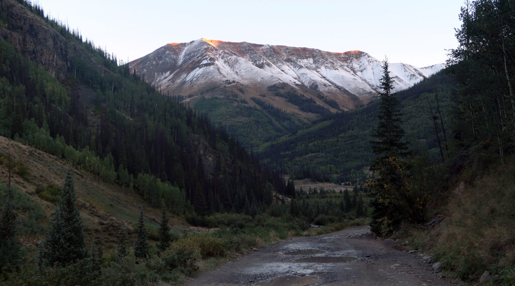
My fears about the recent snowfall were soon tempered by gorgeous sunrise views of sugar-dusted summits. These peaks didn’t look nearly as blanketed as Mount Princeton had. In fact, for most of my hike, the snow would simply serve as an aesthetic enhancement.
Finally, I reached American Basin. To my delight, the road proved entirely manageable right up to the upper trailhead for Handies Peak. That meant I’d enjoy a “light” hike of just 2600 vertical feet. By some measures, Handies is the easiest of the Colorado 14ers.
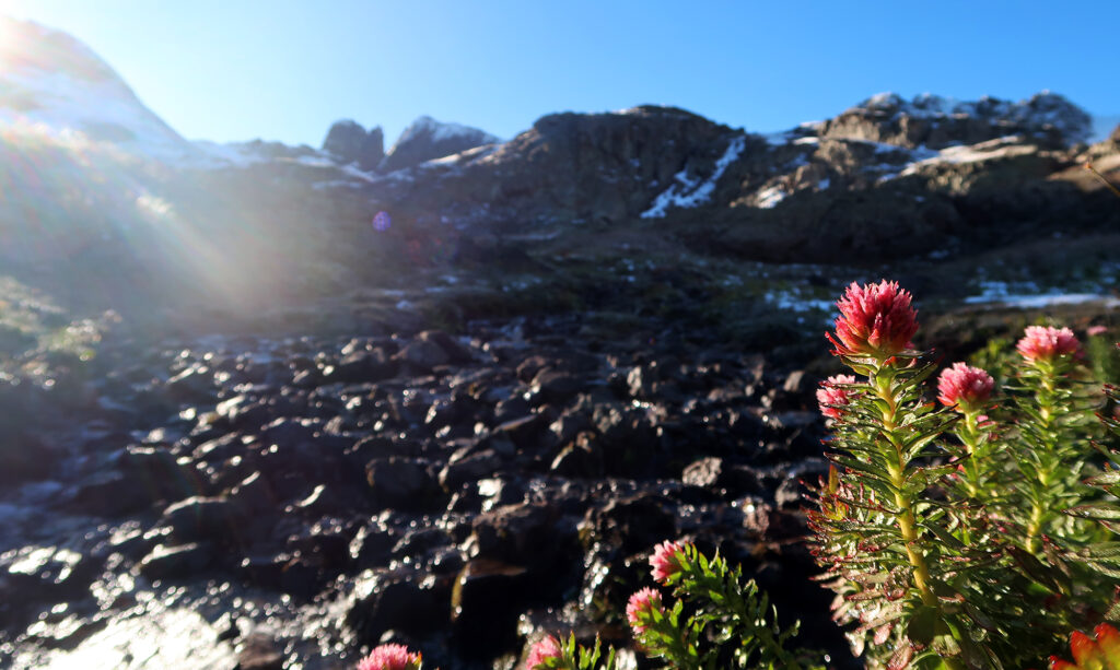
American Basin
The trail rose gently, at first, through the grassy basin with sparse trees. The hike begins around 11,400′, near but still below treeline. The morning sun still sat behind nearby peaks and ridge lines. That meant I could enjoy a mile or so sans sunscreen.
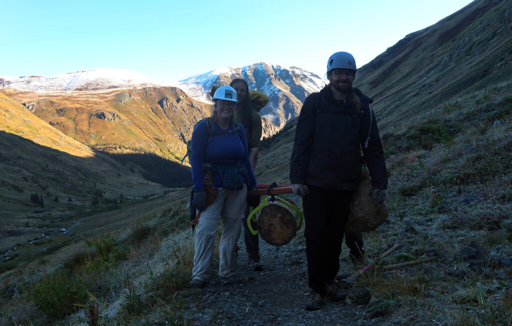
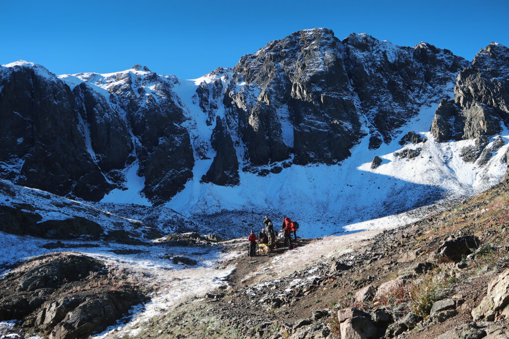
Early on in the hike, a passed a group of volunteers with the Colorado Fourteeners Initiative. These awesome folks work to improve 14er trails throughout the state, to better withstand the high volume of usage they receive each year. I was incredibly impressed as they powered up the lower slopes with enormous logs for use in building stair treads.
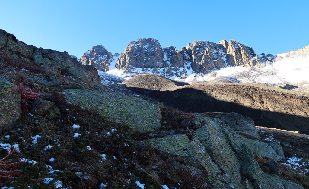
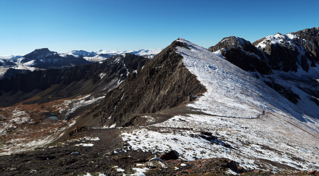
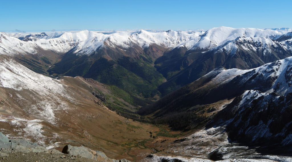
The trail pushed higher towards dramatic rock cliffs forming the far wall of the basin. Handies strikes me as somewhat unique among the 14ers, in that you hike nearby to dramatic rock cliffs, but the trail itself follows a safe, gradual, “class 1” ascent.
Towards Handies Peak
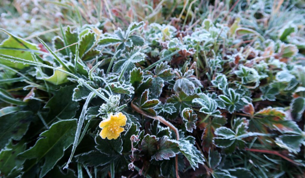
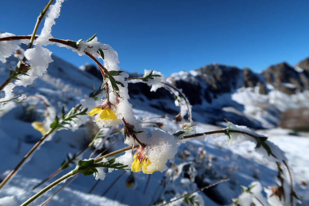
The trail pushed higher along rocky slopes. I had risen towards the “snow line” where damp, frosty grass gave way to icy/snowy wildflowers. Everything looked incredibly beautiful in a sort-of melancholy way.
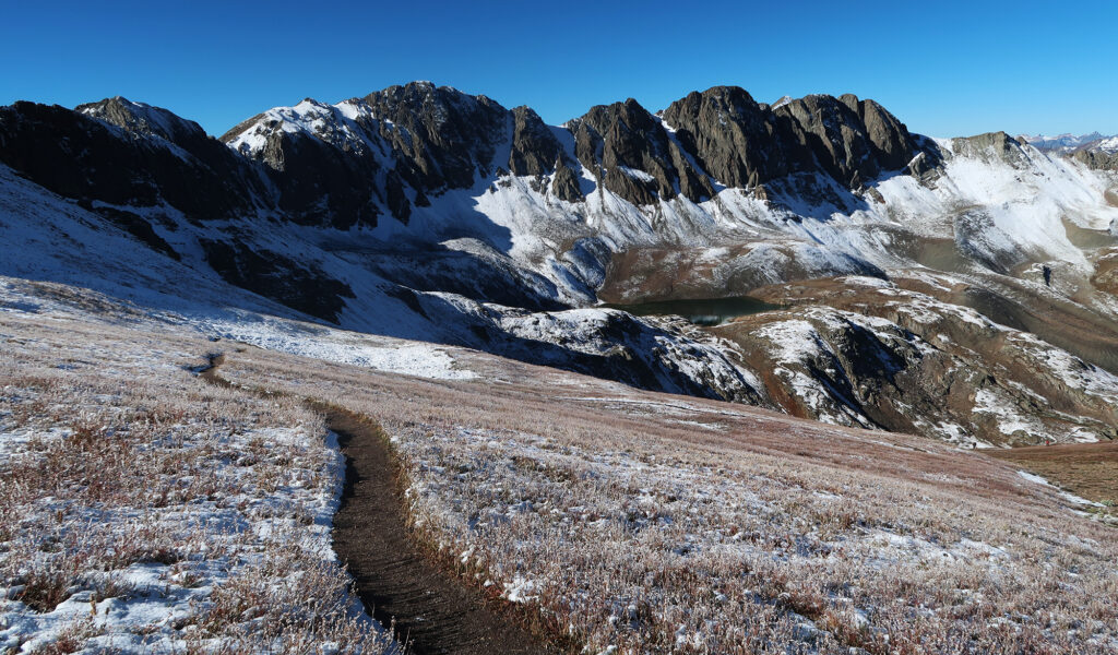
Around 12,800 feet (roughly halfway up), the trail passed a small lake beneath the rock faces. By now, I had reached full sun beneath blue skies. I saw a couple other groups of hikers, soaking in the scenery.
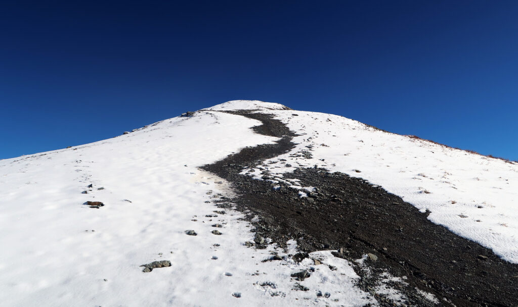
From there, the trail climbed beyond the basin, and up the gentle slopes towards the peak. Slowly, the vegetation grew sparser, while the snow grew deeper. But almost nowhere was the trail covered in snow. Ample foot traffic seemed to have kept it cleared.
Handies Peak
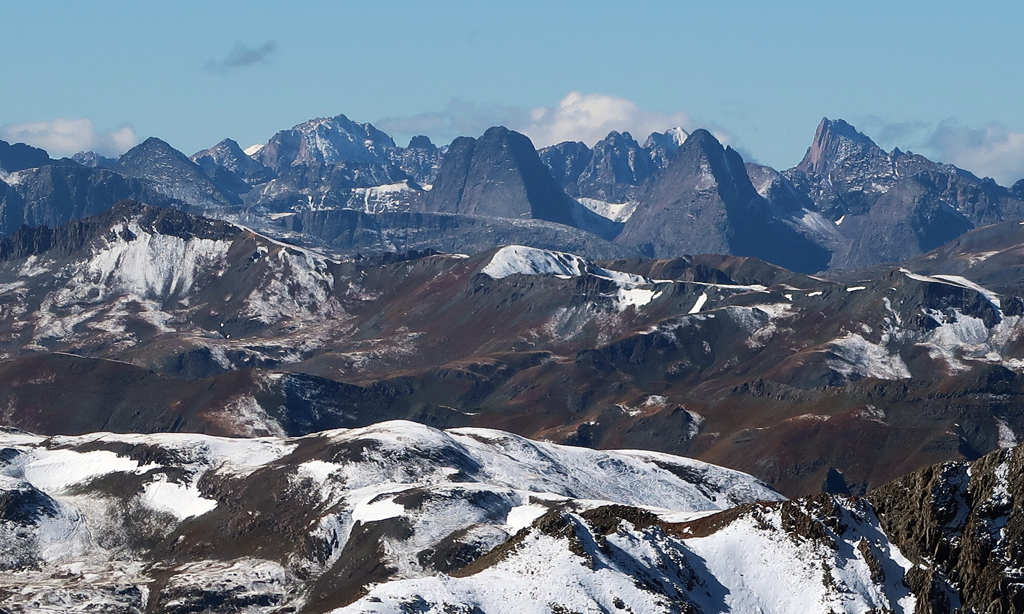
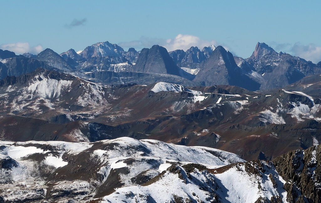
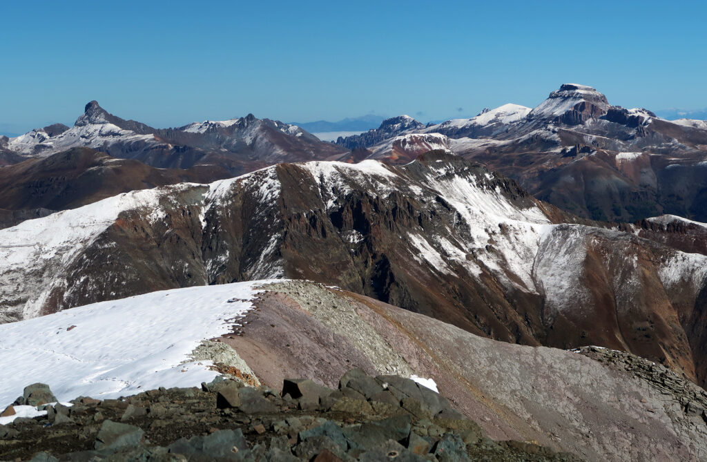
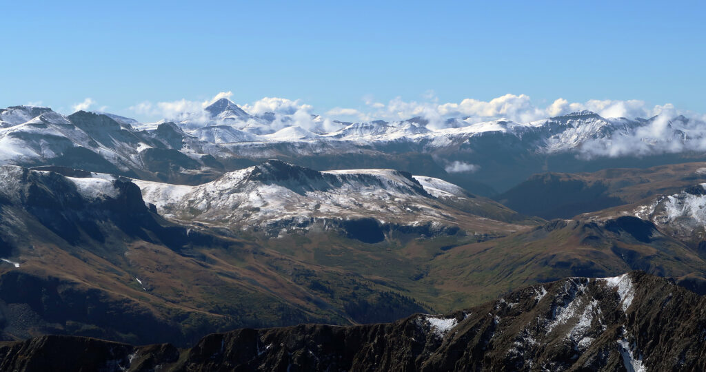
A short while later, I reached the summit. I soaked in 360-degree views of the northern San Juans. After four or five trips into these mountains, I was started to connect together where all the peaks sat in relation to each other. I could see Uncompahgre and the Wetterhorn off to the north. To the west, Sneffels poked above nearby summits. To the southwest, clouds shrouded dramatic peaks of solid volcanic rock. This was the San Juans at their finest.
After much time soaking in the views, it was time for the relatively brief and enjoyable return journey. Handies Peak had proven a lovely Saturday adventure. And by random luck, an outdoor music/wine festival would greet me upon return to Lake City. It was all well worth the extra driving.