September 4, 2022
The Approach
I left Lake City around 4 am, keen to get an early start on the day’s fourteener double-header. Lake City provides a comfortable base camp for no less than five fourteeners. And in fact, I had just hiked another, Wetterhorn Peak, the day before.
The trailhead for Redcloud and Sunshine peaks lies just 18 miles from Lake City. That said, the rough dirt road took me the better part of an hour. Around 5 am, I strapped into my pack, switched on my headlamp, and took off up the approach trail.
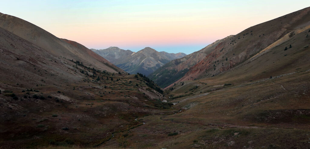
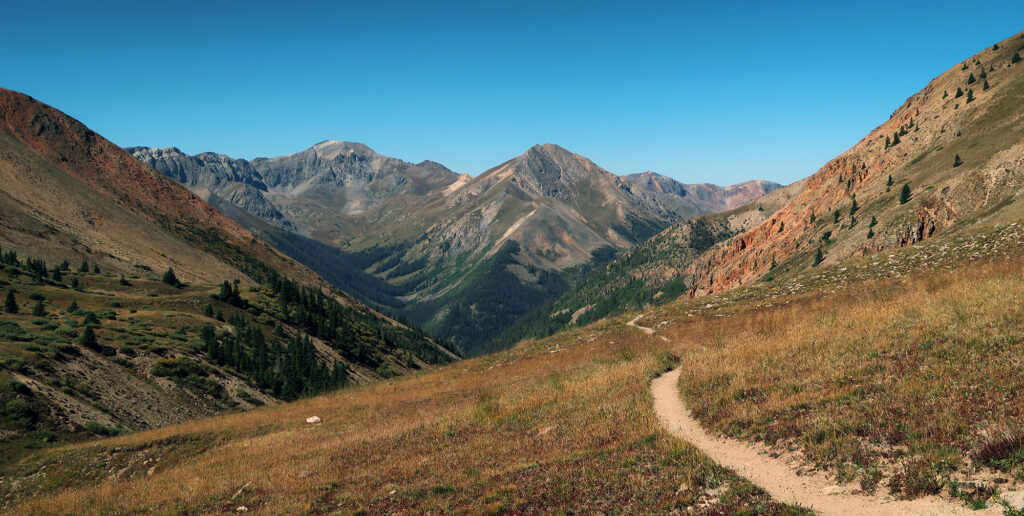
The approach trail gently rose 2000 vertical feet in just over 3 miles. It followed closely to Silver Creek, rising amongst the aspens and pines. Soon it broke above treeline, and I had a full view of the red rock drainage I had ascended through.
There were plenty of other headlights on the trail this Labor Day Sunday. Despite their impressively remote location, Redcloud and Sunshine present a relatively low-risk day hike. That said, the crowds were quite small by Front Range standards.
Approaching the high ridgeline
I slogged upwards to the high ridgeline at 13,000′. By now, direct sunlight began to illuminate Redcloud’s eastern flanks. Its coverage grew slowly, traveling down the mountain towards the trail ahead of me.
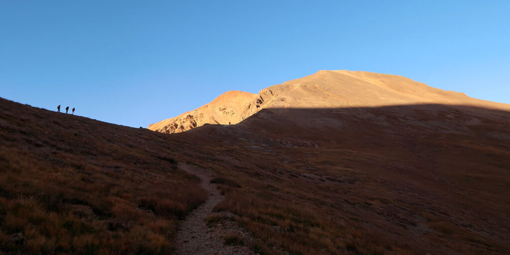
Roughly two hours into my day, I reached the ridgeline. From here the trail grew quite steep, ascending the eastern slopes with a series of wide switchbacks. Loose rock and dirt made travel a tad tricky. But the ascent remained mostly relaxed.
I could see into multiple drainages now, and noticed a well-worn trail from the ridge saddle heading opposite Redcloud. Later I learned there were a few “centennial 13ers” nearby. Perhaps I’d be back to bag those in a few years. Perhaps not.
Redcloud Peak
The steep switchbacks lasted nearly 1000 vertical feet. But finally, the true summit came into view. Deep red rock glowed brightly in the morning light against a deep blue sky. I could see exactly how “red cloud” got its name.
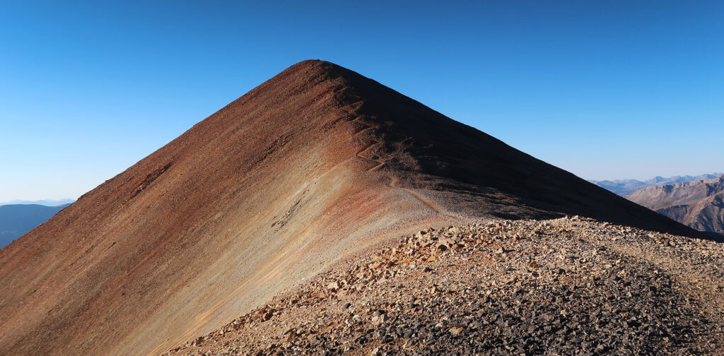
A short while later, I reached the summit. I had the peak mostly to myself, despite plenty of hikers ahead of me. They had already moved on to the second challenge: Sunshine. I gazed down on the mellow ridgeline walk between the two.
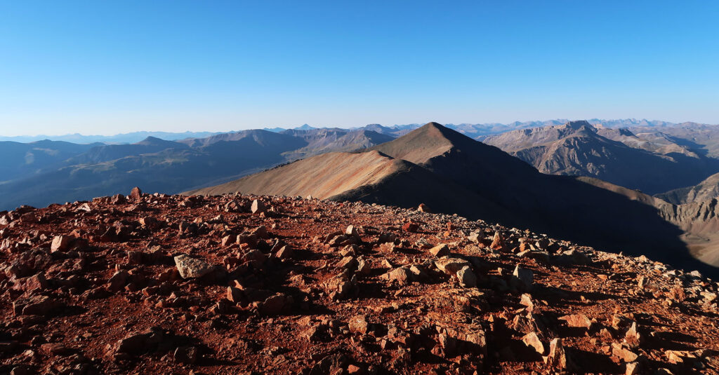
The Traverse between Red Cloud and Sunshine
Summiting Redcloud would prove something of a hollow victory. The col between that peak and Sunshine sat over 500 vertical feet below me. That meant another 1000 vertical feet of ascent, in total, would be required of me. Knowing this, I took some deep breaths and began the traverse.
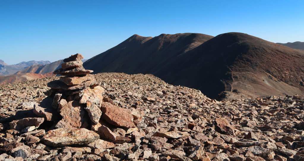
The ridgeline between the two peaks unfolds in a mellow fashion. It runs roughly 1.5 miles, falling gradually to the col before rising briskly to Sunshine Peak.
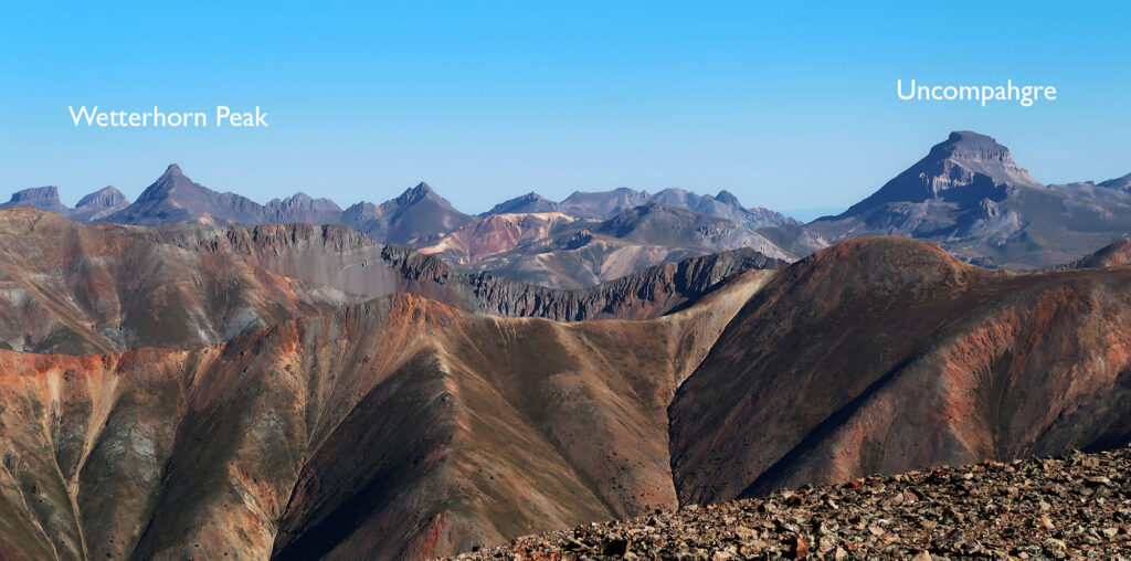
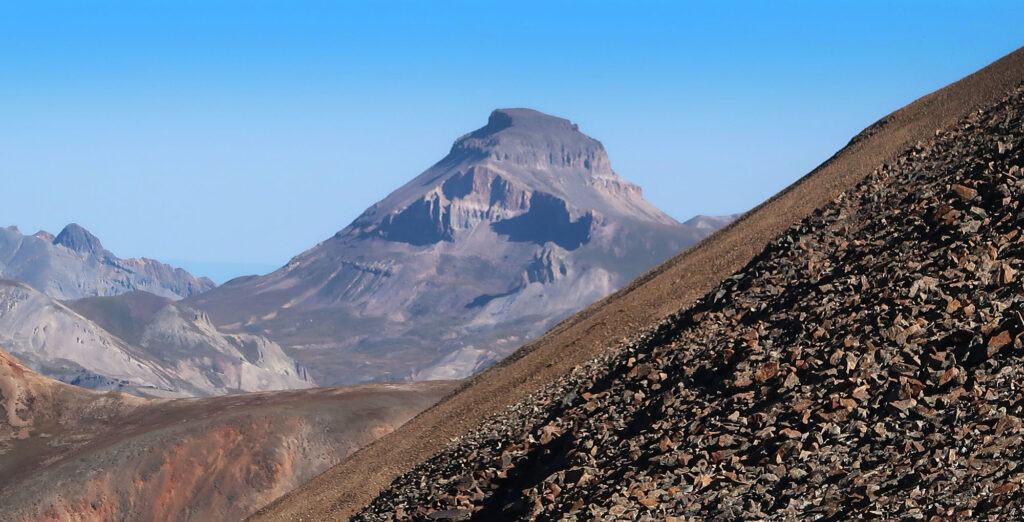
Along the way, I was treated to gorgeous clear-weather views of other nearby peaks. In particular, the far more rugged Uncompahgre and Wetterhorn Peaks rose above the general cacophony of San Juan summits.
The journey back
I reached the summit of Sunshine. Again, the feeling of victory felt short-lived. I now needed to traverse back to Redcloud. Luckily only 500 vertical feet stood between me and the downhill route.
I ran into a few folks who had directly ascended Sunshine Peak. This route also rates as Class 2 but involves a decent amount of route finding. In particular, there is a steep gully (among several) you need to carefully find and ascend. Personally, I tried to keep things simple by sticking to the standard route that day. Experienced hikers strongly advise against descending the direct Sunshine route.
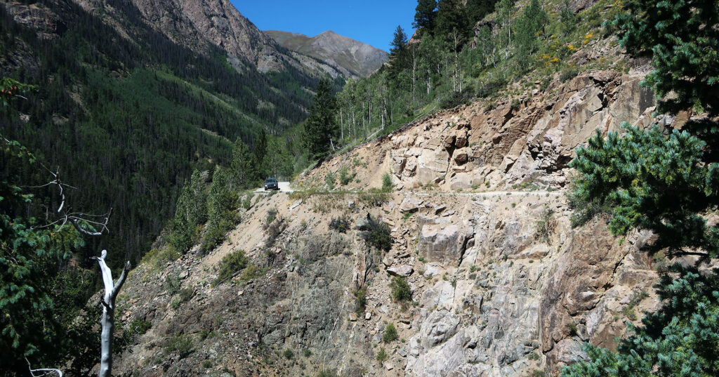
Soon I had re-ascended Redcloud. Now the train of day hikers coming up the peak had grown thick. I descended past several groups on my way back top the saddle. That said, by the time I had descended into the Silver Creek drainage, the crowds had thinned. I seemed to have the descent trail all to myself.
By early afternoon, I had reached my car again. I trundled slowly down the rough road back towards Lake City. As with many fourteener road approaches, things looked way crazier in the light of day. This approach was part of the famously rugged jeep road through the San Juans called the “Alpine Loop”. I’d be back on it next year to bag Uncompahgre. But for now, lunch.