This hike is gonna hurt …
What are the steepest Colorado 14ers? If we’re talking about their standard summit routes, it’s a simple question with (maybe) a simple answer. So I’ll go ahead and answer it: North Maroon and Little Bear! But if you’re a bit of a data nerd like me, with an eye for detail, read on.
The Colorado Rockies boast more than 50 peaks exceeding 14,000′ in height. It’s a somewhat arbitrary cutoff, but also a rare distinction. Just four US states host peaks over 14K in elevation: Alaska, California, Colorado, and Washington. And Colorado is home to the overwhelming majority of 14ers south of Canada. What’s more, Colorado is home to, far and away, the most accessible 14ers. Crampons, multi-day backpacking trips, and vanishing permits are not (typically) necessary.
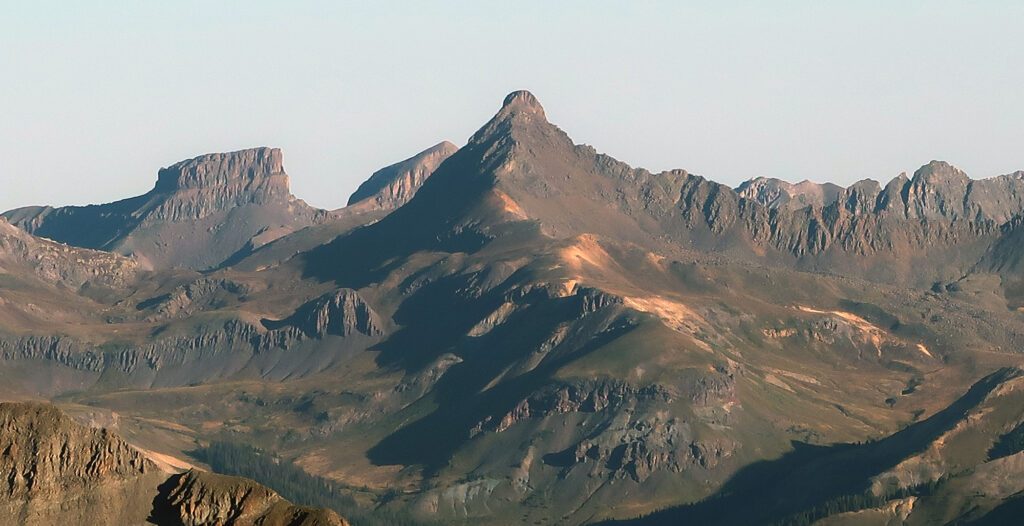
Naturally, with 58-ish 14ers, the question arises: which are the most beautiful? The most dangerous? The steepest? Some of these questions are more subjective than others. But thanks to a rapid proliferation of pocket-sized computers with built-in GPS, we can easily answer the third question. So which are the steepest Colorado 14ers?
Fourteener Route Profiles
One way to answer this question is with route profiles. Services like Strava allow you to download tracked exercises in “GPX” format. But even easier/more standardized, is 14ers.com, a deep font of Colorado 14er stats and knowledge hand-built by Bill Middlebrook of Breckenridge, and contributed to by thousands of hiking enthusiasts.
In the off-chance you are planning to hike a Colorado 14er and have not been introduced to 14ers.com, consider this my strong endorsement of the site. The site highlights numerous mapped routes up each 14er, listing risk factors and providing detailed photography of tricky segments. Users frequently post “conditions updates” on both the trails and their (sometimes equally intense) approach roads.
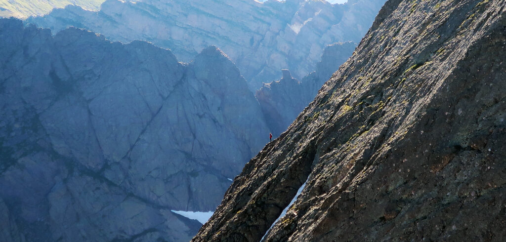
Logged-in users can even download a route’s GPX file, which I’ve found to be slightly higher quality than my iPhone captures. For ease and consistency, I mostly relied on these files when constructing the below steepness profiles.
The data provides rows and rows of latitude/longitude/elevation data. And with that in hand, I set to work writing Python scripts to clean things up and translate the data into “route profiles”. I wanted to show how many vertical feet you gain as you traverse along the trail.
Colorado 14er Profiles
I’ll list a whole bunch of caveats below. But without further ado, here’s a look at the steepness profiles of all 58 commonly climbed Colorado 14ers. I’ve mostly chosen the “standard routes” up these peaks, which also tend to be either the least technical or the lowest effort.
Some key features of the above chart: you can hover or click on each profile to show the peak’s name, route, and grade rating. You can filter by the mountain range, e.g. showing only the Mosquito or Sawatch 14ers. That particular toggle highlights how some ranges are way higher effort than others.
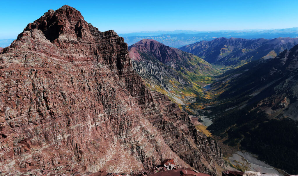
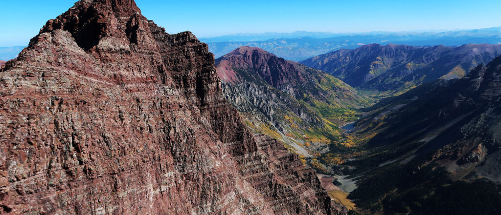
From these profiles, the Elk 14ers in particular jump out as “wow, really steep!”. I’m thinking of North Maroon, Pyramid, and Snowmass in particular. But hunting around through the profiles, you can see pretty quickly that the Crestones and Little Bear likewise fit that description at times.
The routes are color-coded by 14ers.com’s perception of a route’s “grade”. Grades range from one to five. One represents an easy hiking path and five is full-on rock climbing, where most people would opt for a belay and anchor.
Ranking the Routes
Before trying to boil things down to a final answer, let me list all the ways I am oversimplifying this problem. First, I am only paying attention to “rise over slope length”. By that metric, Capitol Peak’s “knife edge” doesn’t count for much. You move across it. Never mind the terrifying sheer drops to either side. What about Long’s Peak? The Keyhole Route doesn’t gain height particularly rapidly. But the Diamond features roughly 900 feet of essentially “straight up”.
So we’re talking about a very specific notion of “steepest Colorado 14er” here. It’s to do with the route itself, and how rapidly it rises. It’s not a statement of a peak’s inherent steepness or even necessarily how difficult or dangerous a route is (though the ‘winners’ tend to be both).
From glancing at the chart above, you’d probably place Pyramid or North Maroon on the list. But we can be slightly more technical than that. In particular, we can search the GPX data for the most rapid vertical ascent over a quarter mile among all the routes. This is approximate because the GPX files only capture every 80-200 feet. But the list jives with intuition regardless.
So what are the steepest Colorado 14ers?
By vertical ascent over a quarter mile:
- North Maroon Peak, Northeast Ridge — 810′
- Crestone Peak, South Face — 780′
- Little Bear Peak, West Ridge and Hourglass — 760′
- Kit Carson Peak, Via Challenger Point — 740′
- Challenger Point, North Slope — 720′
- Pyramid Peak, Northeast Ridge — 710′
- Mt. Sneffels, South Slopes — 700′
- Sunlight Peak, South Face — 650′
- Mt. Wilson, North Slopes — 640′
- Mt. Columbia, West Slopes — 630′
Hooray, we did it!
Well, not so fast. “Rise over a quarter mile” is kind of arbitrary. How much do things get shaken up if we choose, say, an eighth of a mile?
By vertical ascent over 1/8 mile:
- North Maroon Peak, Northeast Ridge — 470′
- Little Bear Peak – West Ridge and Hourglass — 440′
- Crestone Peak – South Face — 420′
- Pyramid Peak – Northeast Ridge — 420′
- Sunlight Peak – South Face — 410′
As we hone in on smaller segments, you may notice that four of the top five peaks are “Class IV” routes—some pretty intense scrambling. But perhaps surprisingly—and someone, please check my math—the implied “average slope angles” here max out around 45 degrees for North Maroon. That’s a very theoretical metric: in reality, these routes are a series of ledges and gulleys, only occasionally describable as a uniform ramp.
Final Thoughts
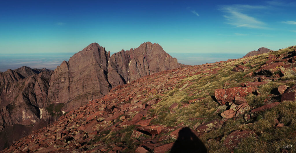
I cannot emphasize enough how approximate the above numbers are. I am working with GPX files that record positions every 80-200 feet. The measurements are noisy. We can get into all sorts of debates about linear interpolation versus quadratic or cubic splines. And I’ll be the first to admit my trigonometry is a bit rusty (here I am using a quarter mile of slope length, which is not the same as a quarter mile of horizontal distance).
But no matter how you slice it, the answer seems to always be the same: North Maroon Peak, unranked by those who care about pesky concepts like prominence, ranks supreme on my list. And Little Bear, that human bowling alley of a mountain, ranks supreme among ranked peaks. Happy trails!

Love it, and great job! It’s nice to have someone who can explain some of the wonkier parts about mountains and do so while being grammatically competent! I’ll keep following.
Good Read! I’m 70 years old now! I no longer climb and admit to my loss of ability. I will say back in the day was proud of my climb on Sunlight Windom and Eolus all in one day!!!
I camped in Chicago basin and was on foot by 430 in order to do all 3!
It was a gorgeous day!