September 2, 2023
Arrival
The sun crept above the surrounding hills a I sped along an empty highway over La Veta Pass. This weekend’s adventure would be an overnight target: Blanca Peak and Ellingwood Point via Lake Como. On day one, the goal was just to reach the lake and set up camp.
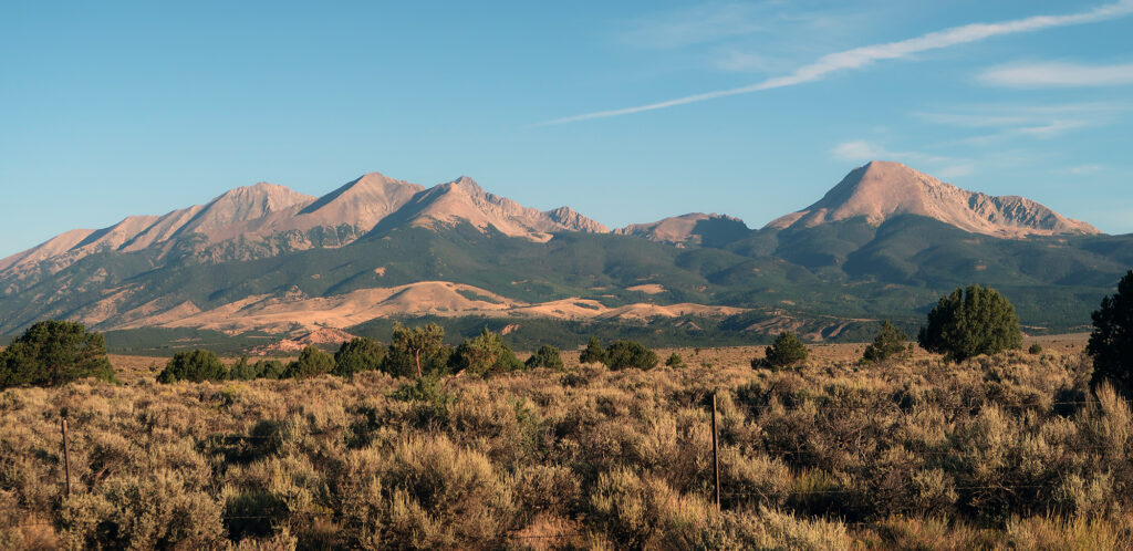
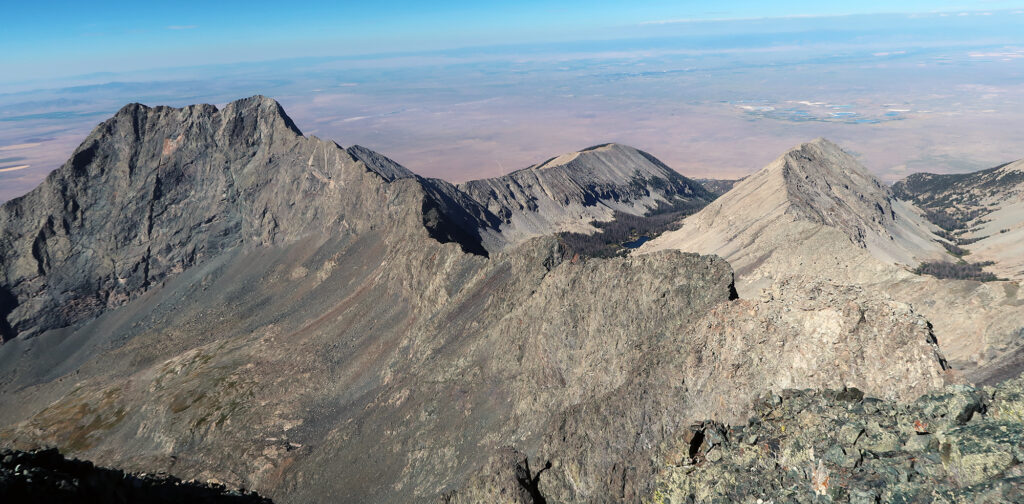
I passed through Fort Garland and into the dusty high desert of the San Luis Valley. Then looming to my right, I saw the Blanca Massif. It forms a sort-of southern terminus of the highest summits of the Sangre de Cristo. I say “sort of” because the Sangres pick right back up again, to the south, and down into New Mexico.
I pulled off the paved highway and onto the rocky dirt road up the lowest, gentle slopes of the mountains. The road climbed slowly, past sagebrush and pinyon, getting progressively rougher. Around 8000′ elevation, I decided to call it quits and start hiking.
The Lower Approach
My hike began around 10 am. It would take only a few hours to reach camp at Lake Como. But I wanted to get up into the pines and steeper-sloped areas before the heat of high noon. So the heavy pack went on, and the trudging began.
I wasn’t super enthused about the lower approach. The first 1.5 miles march straight up a ramp, devoid of trees or shade. You start from, basically, the dusty valley floor. That said, it went smoothly. The sun angle was still low in the sky, and the looming Sangres, to the East, provided ample shade.
About an hour up the road, I fell into sync with a pair of hikers from Texas. One hiker’s dad had taken him up to Blanca years ago, though without a successful summit. He was very excited to be back to experience the area again and reach the top.
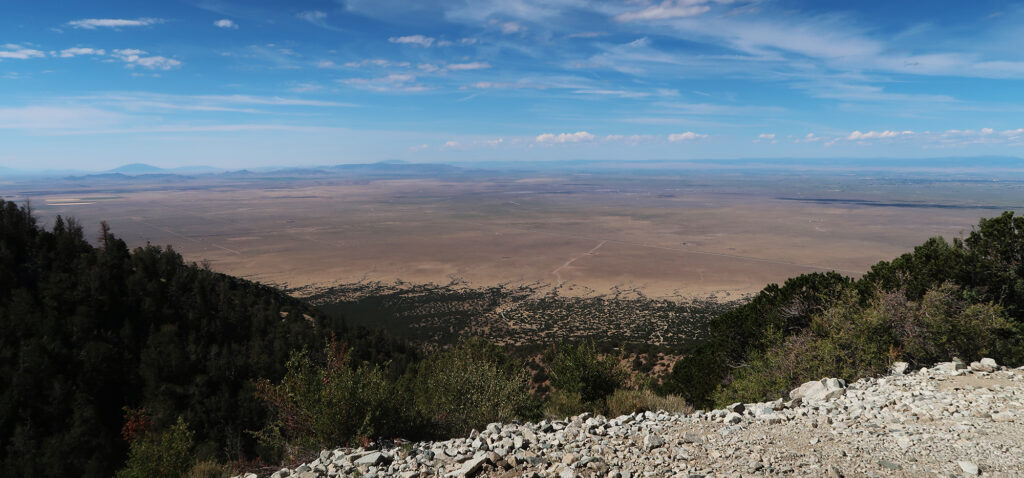
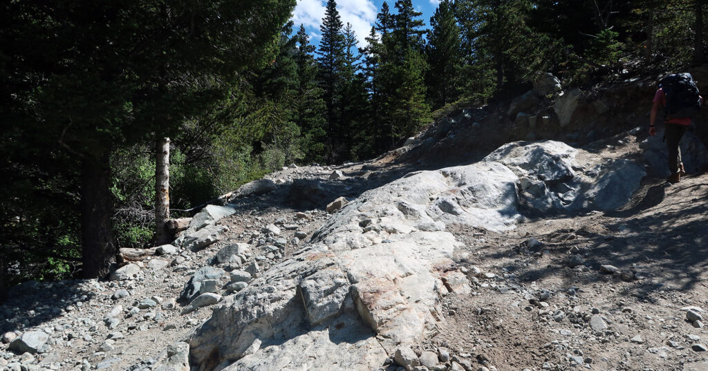
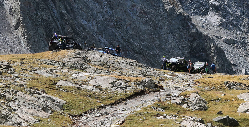
We trekked onward, as the road switchbacked up increasingly steep slopes. The wide-open San Luis Valley remained in full view for the first couple of hours. The road to Lake Como has earned a reputation for being an absolute beast. And it was fun to see which types of cars got how far up the road, before cutting their losses and parking. A well-piloted ATV can make it all the way to the lake.
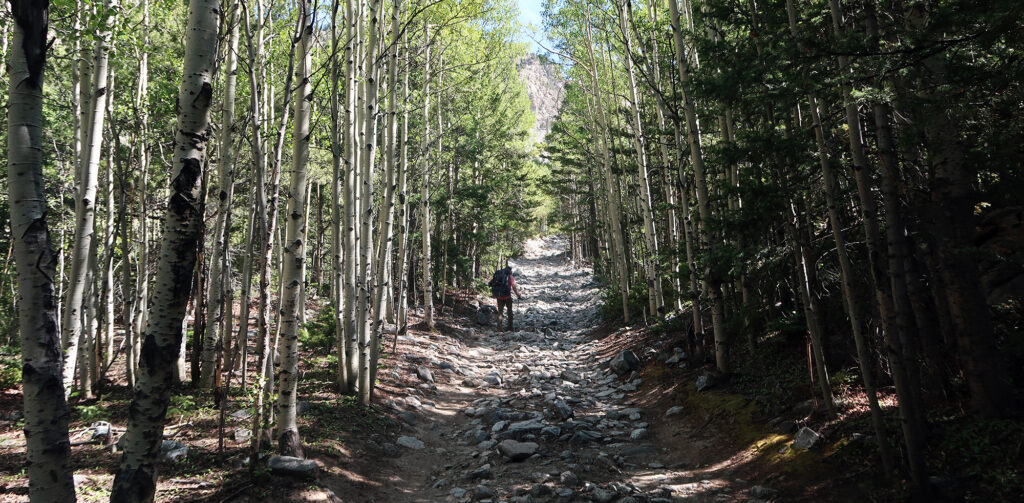
Around roughly 10,000′, the road began pushing back into the Sangres. Aspen trees lined the route providing much-needed shade. And the road grew even rougher.
Onward, to Lake Como
The road pushed higher, with occasional switchbacks. The lake sits 5.5 miles and 3800 vertical feet above where I parked. That makes this among the beefiest approach hikes of all the fourteeners. To the best of my knowledge, only Pikes Peak has a standard route that starts lower than 8000′. And you can easily avoid that hellscape via the Crags Route. Or you know, just drive to the top. No such luck here.
The approach took roughly four hours in total. The Texans definitely felt the effort. Sleep deprived, after driving non-stop from roughly sea level in a day, they were thankful for the occasional ‘log under a tree’.
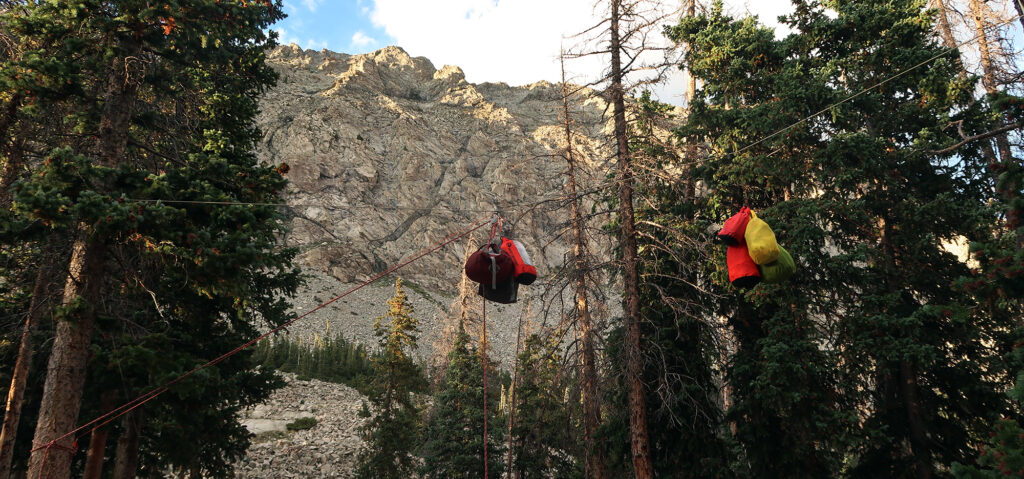
But eventually, we all made it to the lake. I grabbed a prime camping spot vacated only moments ago by a couple with a dog who had braved the treacherous slopes of Little Bear Peak that morning. After setting up camp, it was time to dry off in the sun, by the lake.
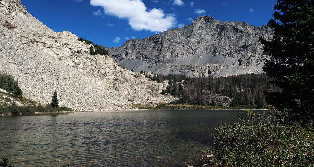
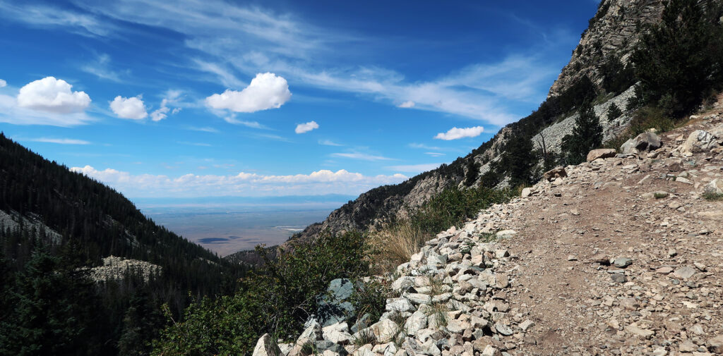
Perhaps more than any of the other lakes in the Sangres (e.g. South Colony, Willow), Lake Como features a straight-shot line of sight out to the San Luis Valley to the west. As a result, we were treated to an exceptional sunset. And decent cell service.
An Alpine Start
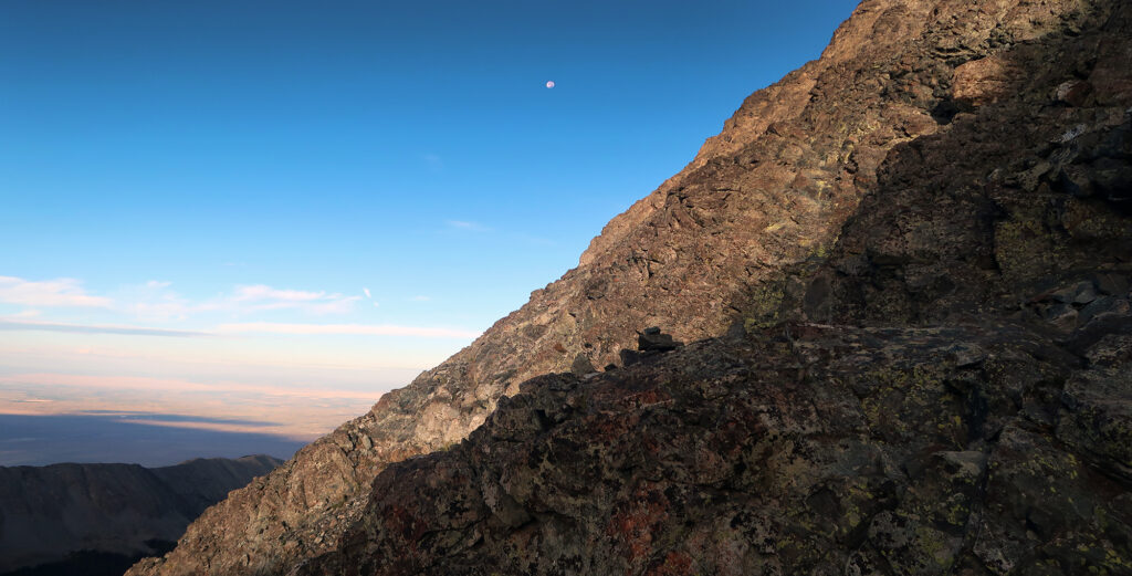
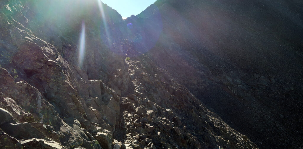
I got up early, well before dawn, and began solo up towards the peaks. Around 5 am I left camp and began around the lake. The road pushed higher, to another set of “Blue Lakes”. Then single-track began, at last. It took tight switchbacks up a slop of bare talus, towards “Crater Lake”.
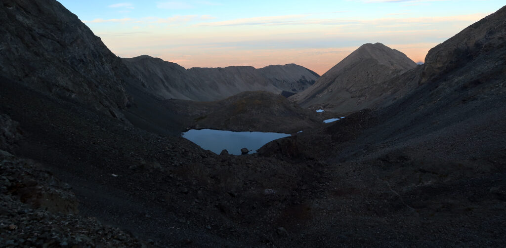
All in, an ATV-equipped hiker could make it to 12,200′ without breaking a sweat. He could then bang out the peaks in a couple of hours. For the rest of us, it’s quite a journey. That said, gradually sloped, well-built trails get you all the way to 13,000′. So that’s pretty neat.
Towards Ellingwood Point
Around 13,000′ you have a choice: Blanca Peak, or Ellingwood Point. I read a lot of online commentary about routfinding shenanigans on Ellingwood Point. So I decided to get that over with first.
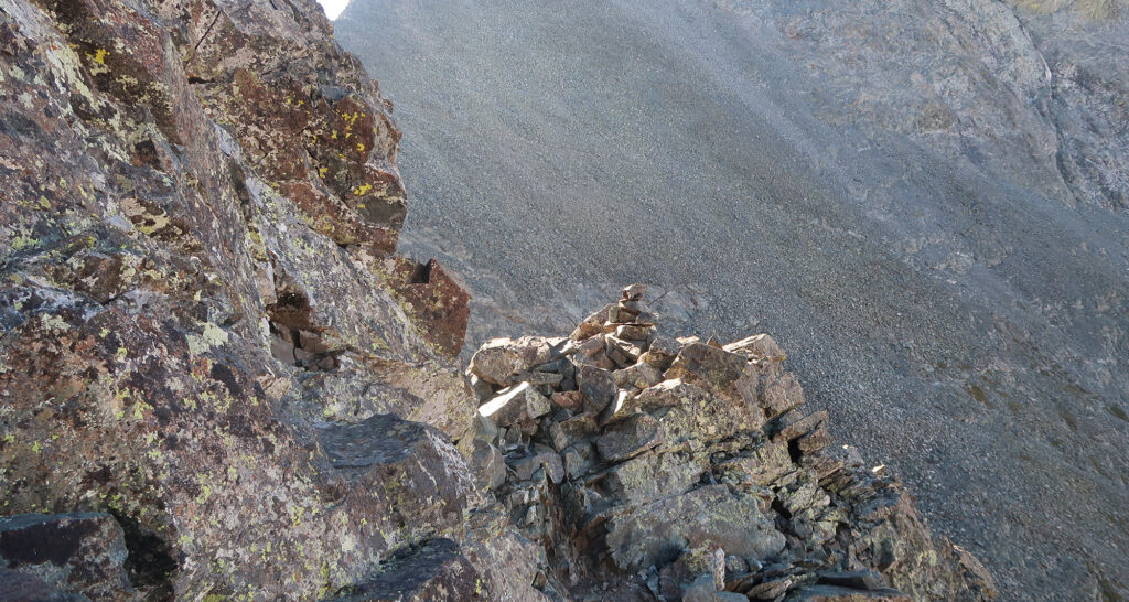
Sure enough, the path to Ellingwood wasn’t a trail so much as a vast talus field with some tiny cairns. It contoured across a flat lower section and then powered up a not-particularly-steep slope of jagged rocks.
The main problem: there were plenty of cairns leading off in random, unhelpful directions. I don’t really get how this happens. Do people just decide “Hmm, this must be a good way to go. Let me build a pile of rocks to let others know I think that’s the case”. I understand every trail begins in a manner like that. But when you know, for a fact, you are not the first to ascend the peak, why do you feel entitled to add extra cairns in random directions?
These were the deep thoughts/random rantings filling my head as I slowly random-walked up Ellingwood. “Random walk” is a bit ungenerous. The slope is relatively safe, composed of big grippy talus. And many of the cairns do lead in helpful directions.
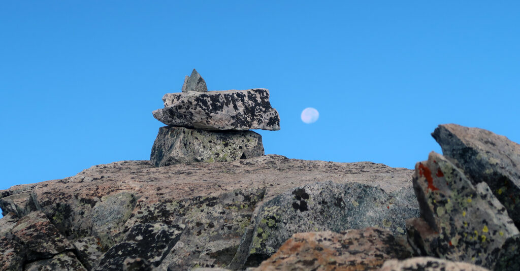
Ellingwood Point
I was the first to reach Ellingwood Point that morning. I gained the summit only moments after the sun began to directly shine on the approach route. This cuts down on both sweat and sunscreen usage. Highly recommended.
I’m not a particularly strong climber. I just like to start early. And only moments later, I was joined by another solo climber. He was a tall, lanky trail runner, in his early 20s. He ambled effortlessly up the far more technical (and impressive) “North Ridge” approach. This guy was a particularly strong climber.
Ellingwood Point takes its name from Albert Ellingwood, a pioneering mountaineer (and accomplished academic) of the early 20th century. He made first ascents of several high peaks in the Rockies of middling name recognition. This includes the Middle Teton in Wyoming and Crestone Needle. The latter summit was the last Colorado 14er to be summitted.
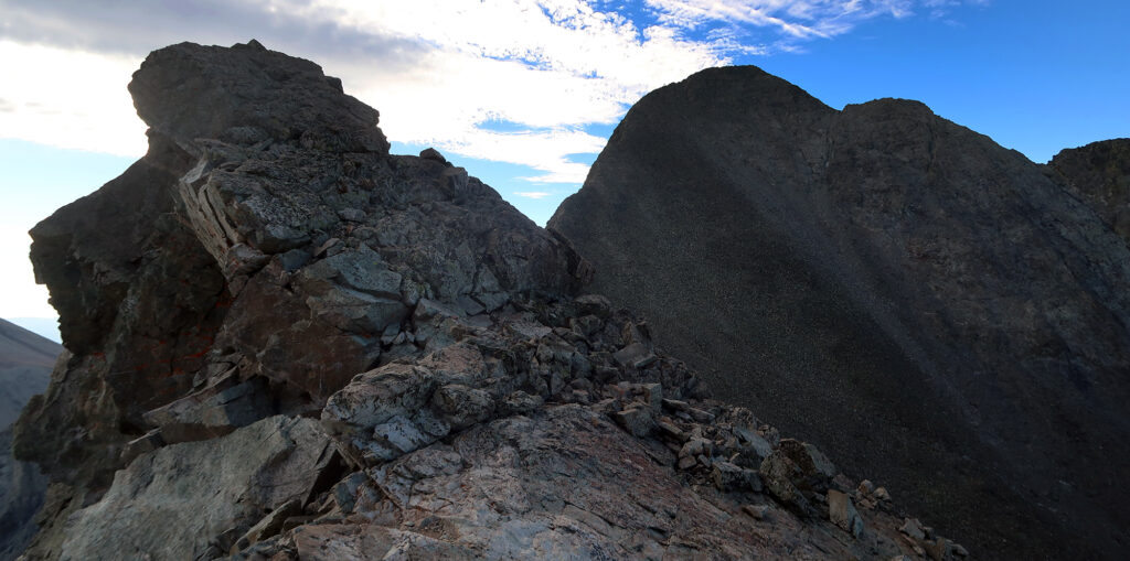
The Blanca/Ellingwood ‘Traverse‘
For the past week, I had agonized over a choice. Choice A: descend the standard route on Ellingwood, before climbing Blanca. Choice B: try my hand at the Blanca/Ellingwood “combo” route.
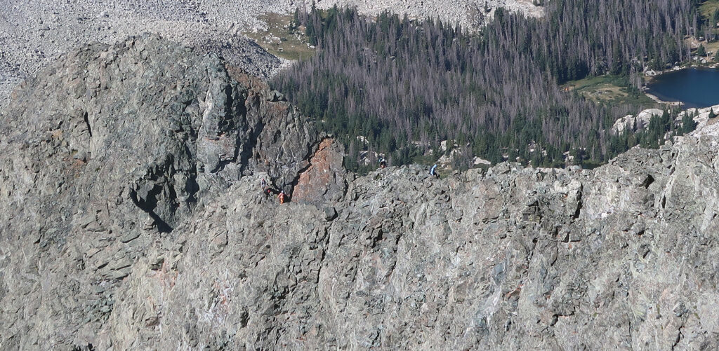
This is not some classic high alpine traverse. It’s just a quick jaunt below the rocky ridgeline between the two peaks. That said, no class III route should be taken lightly, since there is always the risk of rockfall and straying off the path.
Luckily for me, the trail runner/alpine wunderkind was also pushing on to Blanca Peak. So I followed him onto the traverse and did my best to keep up. My reasoning was: 1) I could see the whole arena and the route was short, 2) I could turn back at any point with minimal elevation loss, and 3) I had read up on the beta ahead of time, with pics on my phone.
As it turned out, the route was very straightforward. Ample cairns led us across what was a horizontal goat path. About halfway along, the “crux” arrives in a gully of bleached rocks. You make a few exposed/committing climbing moves out of the gully, and then the fun goat path continues. Easy peasy. (But read on to discover how this could go very wrong).
Onward to Blanca Peak
We regained the trail, now back on safe “difficult class II” footing. I could keep up with the trail runner on the traverse, thanks to minimal elevation change and ample hours in the bouldering gym. But now we were back on his turf: a long, steep ramp conquered purely via leg power. So he sped up the mountain in a manner utterly disrespectful of gravity. And I stopped for a quick breather.
Blanca Peak—the star attraction of the Lake Como approach—features a well-marked trail from base to summit. Both Blanca and Ellingwood receive a “difficult Class II” rating on 14ers.com. Having done nearly all those routes, my opinion is that designation is all over the map. Most of the routes are relatively safe and easy (Castle/Conundrum, Blanca/Ellingwood). But then there’s Challenger Point. But that’s a different blog post.
All that said, a rather large party of hikers seemed to be having all sorts of weird issues on the way to the top of Blanca. A couple more aggressive “leaders” kept pushing forward, finding themselves off trail, retracing their steps, and then waiting impatiently for the group. The slower hikers were tripping and slipping. And laughing hysterically about the whole affair.
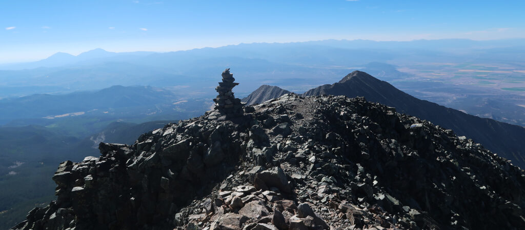
After a few “hello”s and “excuse me”s I had peeled ahead, and soon reached Blanca’s commanding summit.
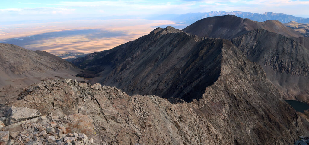
Blanca Peak
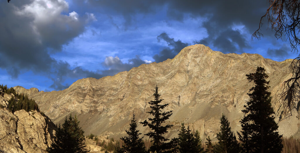
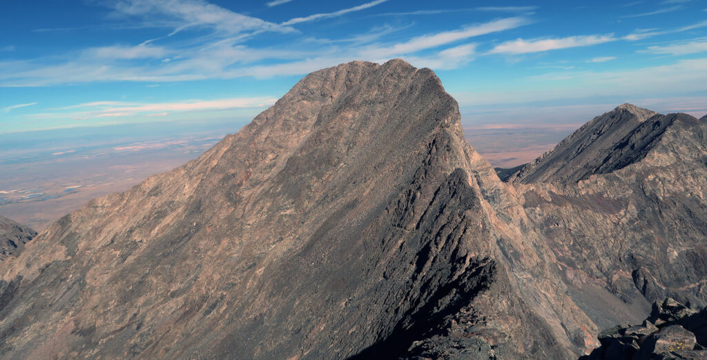
Blanca Peak (“White” Peak in Spanish) ranks as the fourth-highest summit in the Rocky Mountains. As I mentioned earlier, its massif rises without interruption from the floor of the San Luis Valley, 6300′ below, making it among the most impressive peaks. This peak held a lot of significance—both spiritually and geographically—for local natives. Along with Mount Elbert and Pikes Peak, it is one of just three “ultra-prominent” 14ers in Colorado.
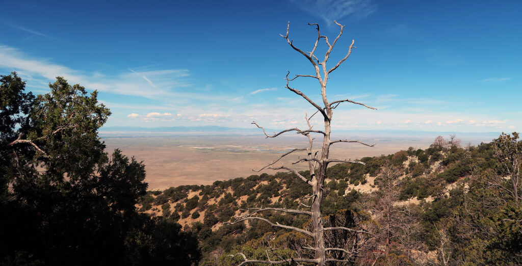
Needless to say, it felt nice reaching my second and final summit of the day. This was still on the early side, with minimal summit traffic. Below me, to the West, I saw tiny specks of climbers on the classic “Little Bear/Blanca” traverse route. That was an adventure for another, far more intense, day.
The descent
Having reached the top, it was time to head down. After some snacks and pictures, I began down the trail. By now, the ascent route had “peak weekend traffic.” Luckily, on this remote of a summit, that just means perhaps 50 hikers that day. I ran into the Texans, who had opted to sleep in and acclimate a bit longer. I was delighted to see they looked refreshed and determined.
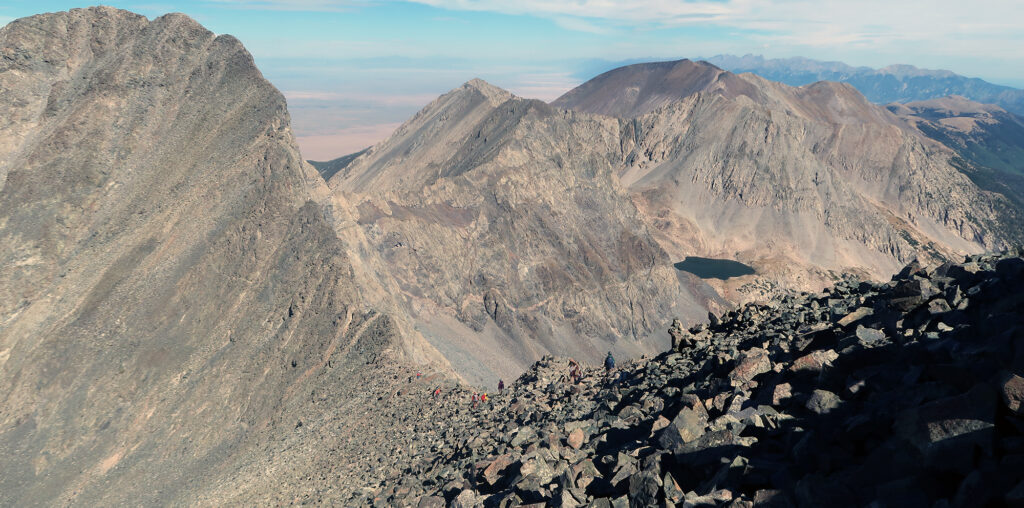
I reached the col between the two peaks and began down the route towards the Lake. This was the last “novel” stretch of trail for me. About a half mile later I would meet up with the subtle junction to Ellingwood.
At this point, I heard shouting and glanced up toward the flanks of Ellingwood. The large party of mixed hikers were doing the combo/traverse route, but in the reverse direction (towards Ellingwood). The near white gulley—the route’s crux—I saw their most aggressive team members. They were wayyyy higher than the point where I and the trail runner had crossed the gulley. I saw them hesitating to descend a cliffy rock rib that looked more Class V than Class III. This is a common—and sometimes fatal—failure mode for peak baggers in the Rockies. A few wrong turns can put you into much higher consequence terrain.
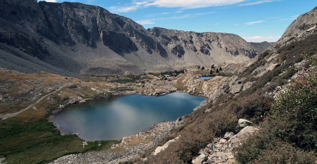
I continued down the trail, leaving behind the summit ampitheater. Things grew quiet. I passed the progressive tiers of lakes. Greenery grew larger and, well greener. I reached the road’s terminus at Blue Lakes. A caravan of ATVs was out for a ride, festooned with various flags like an alpine Tr*mp Flotilla.
Back to Civilization
I got back to camp and plunked some Nuun tablets into freshly filtered water. I ate some lunch and then packed up camp. It was time to hike out.
The backpacking descent to the car was long but uneventful. I saw plenty of folks pushing up towards the lake. Some of them got quite a late start. It was mid-afternoon now, and the sun was high overhead and the heat of day had built. Masochists!
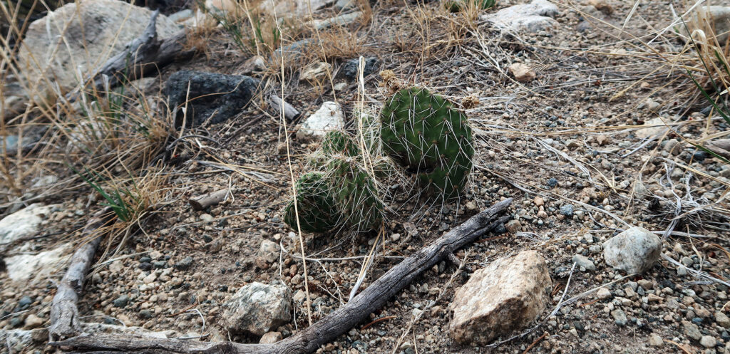
Near the base, I noticed some cacti among the sagebrush. This might be the only day of hiking I’d experienced with both pika and cacti! It was a lot of elevation change.