July 13, 2024
Arrival
I arrived at the Upper Spruce Creek trailhead, a short winding ways above the community of Blue River. Today’s targets were two moderately popular summits of the Ten Mile Range: Father Dyer Peak and Crystal Peak.
I began shortly before 7am, the mid-summer Sun already high in the sky. The hike starts around 11,000′, but there was still a solid chunk of vertical to the summit of Crystal Peak. In aggregate, I’d ascend 3200 vertical feet over a round-trip distance of 7.5 miles. Most of the adventure would take well above treeline. But for now, I set off down a dirt trail through loose pine forest.
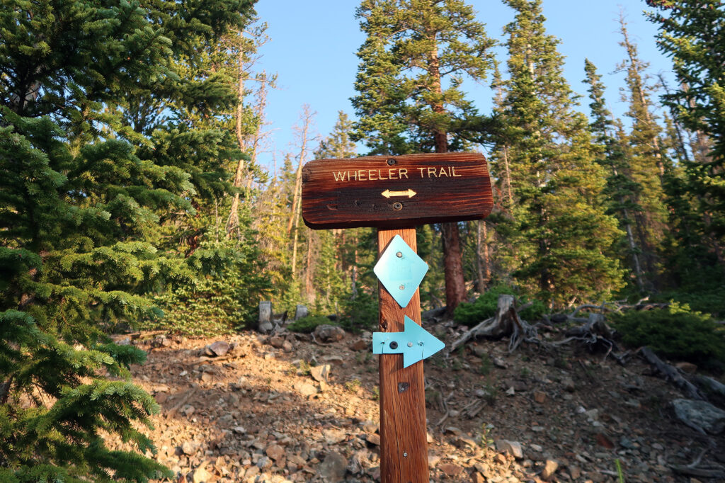
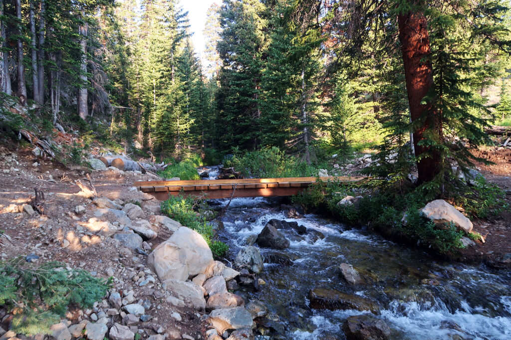
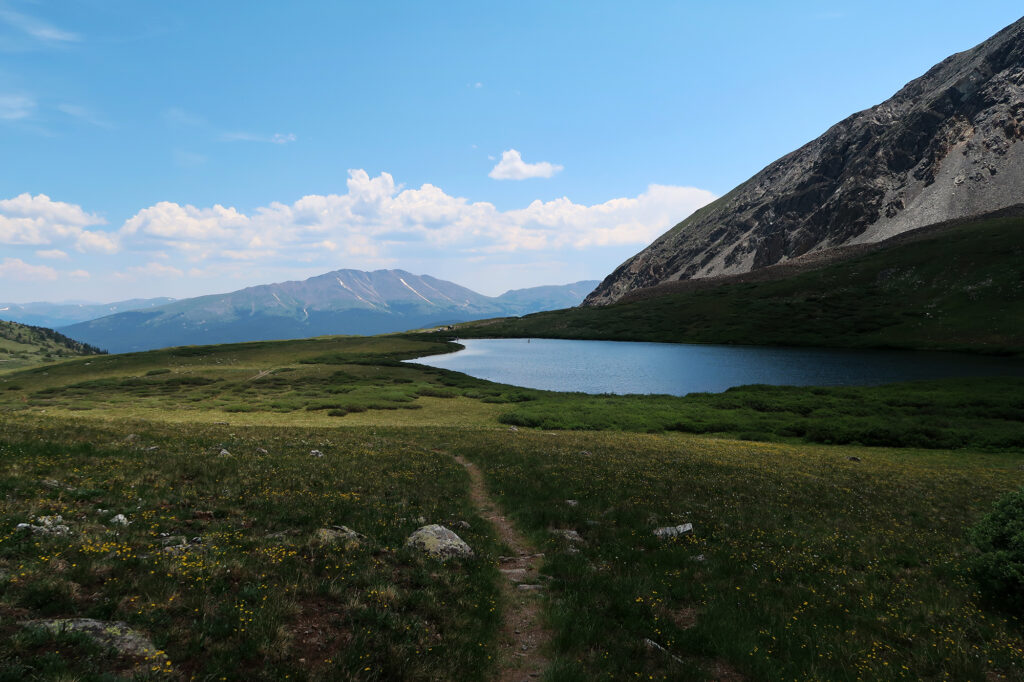
The first two miles provided a gentle warm-up. The route slowly ascended about 1000 vertical feet to tree line and Lower Crystal Lake. Four-wheel-drive vehicles with good clearance can park at the lake. But I wasn’t in the mood to chance things in my Subaru, and I could use the exercise regardless.
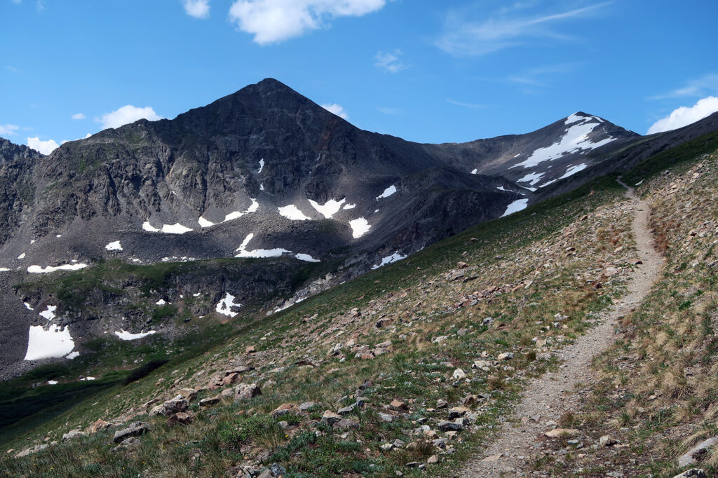
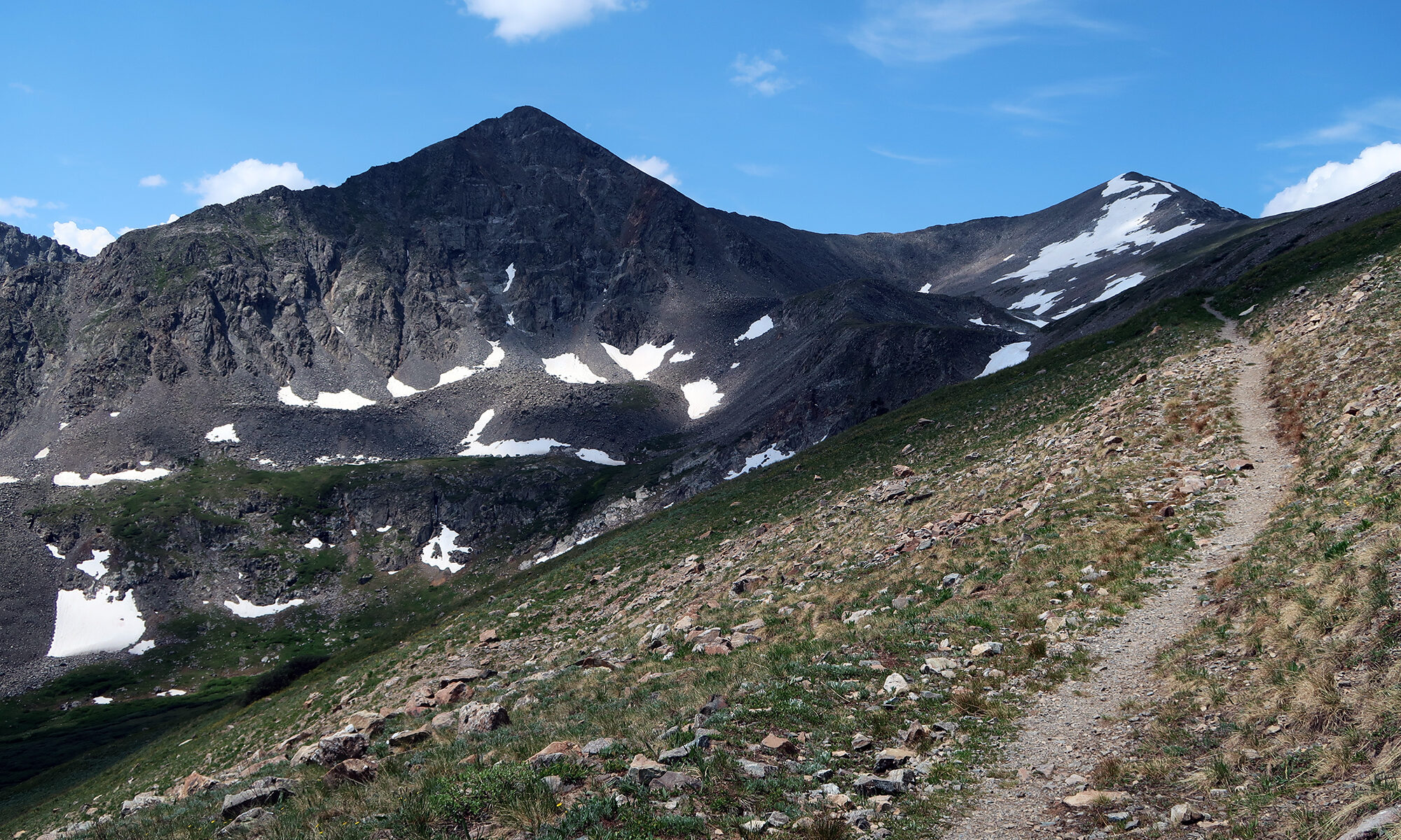
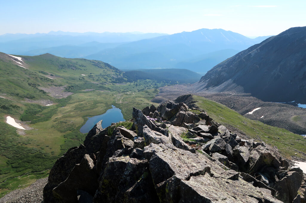
The high, rocky summits of the Ten Mile Range came into view, looming above the alpine meadows of the lower approach. After a spring of ample snowfall, snowpack still filled select couloirs.
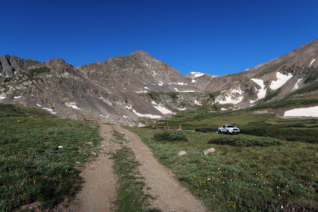
Onto Father Dyer Peak’s East Ridge
I followed the last, crumbling gasps of a jeep road around and above the lake. But soon I hooked right, contouring around to the base of Father Dyer’s East Ridge. Vague wisps of trail appeared and receded. It appeared this peak doesn’t see a ton of foot traffic.
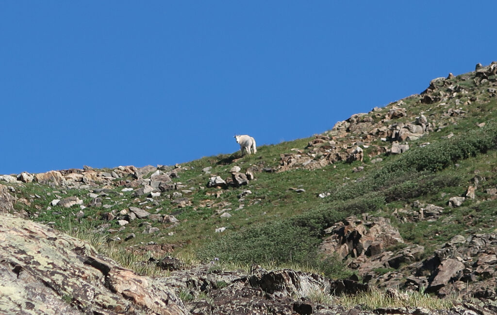
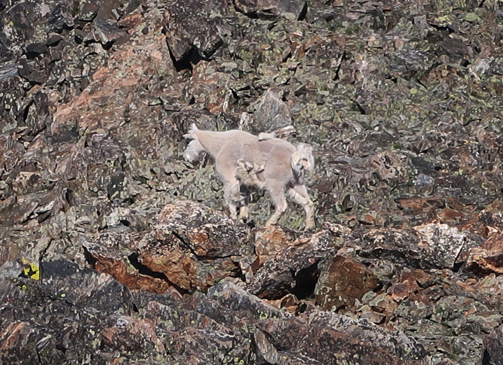
About 2.5 miles into my day I reached “the steep stuff” … in all, about 0.75 miles of scrambling up the East Ridge. The lower third of this “scramble” was actually just steep grassy slopes. Here I noticed the first of three mountain goat sightings above me (it’s possible all three were the same goat).
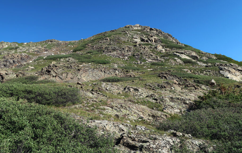
Father Dyer Peak’s East Ridge route has gained a bit of fame as a relatively soft introduction to scrambling in the Colorado Rockies. 14ers.com ranks it “Easy Class III” meaning there is some hands-on scrambling and exposure, but only for brief stints. While I’d already climbed some Class III 14ers, I was looking for a pleasant “warm up round” before tackling some trickier peaks later in the summer.
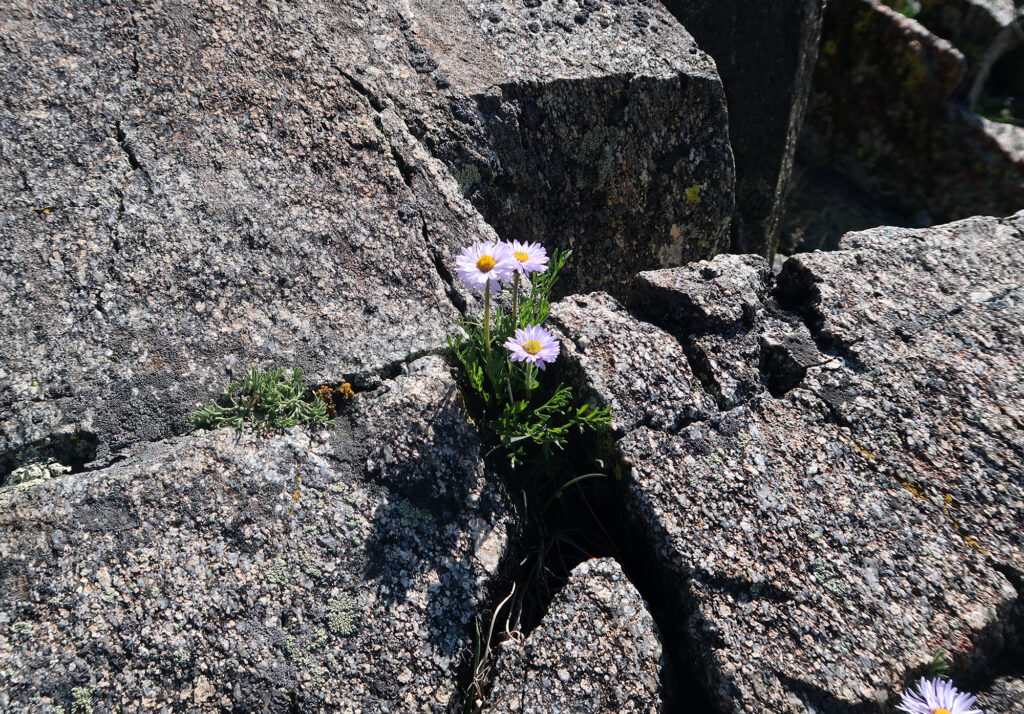
Already, on the lower bits of the ridge, I was getting flashbacks to Challenger Point‘s upper slopes: steep and grassy! But with that experience under my belt, and with all the pretty wildflowers, I managed to keep stress levels low. The slope sustains around 45-55 degrees, with rocky bands pushing north of 60 degrees. Even though the grass was dry and grippy, I definitely felt more comfortable on the rocks.
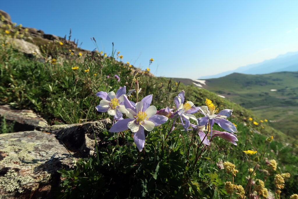
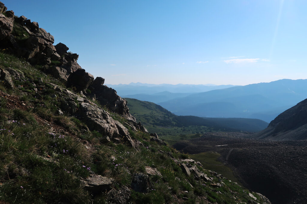
Scrambling
After less than a quarter mile of this, the lower ridgeline flattened out. A relatively flat grassy expanse stretched forward and equal distance. And looming above that was the rocky “scramble” part of the ascent.
While Father Dyer’s East Ridge is a relatively popular scramble, it’s definitely not a marquis attraction of the Ten Mile Range. Nearby 14er Quandary Peak attracts hoards of summer visitors, with all sorts of red tape around arrival and parking. And a couple miles north, in the opposite direction, the range hosts Breckenridge—the nation’s busiest ski resort.
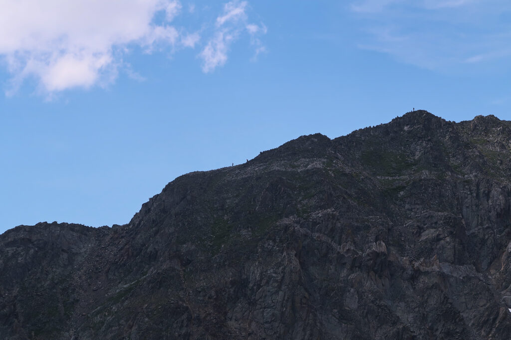
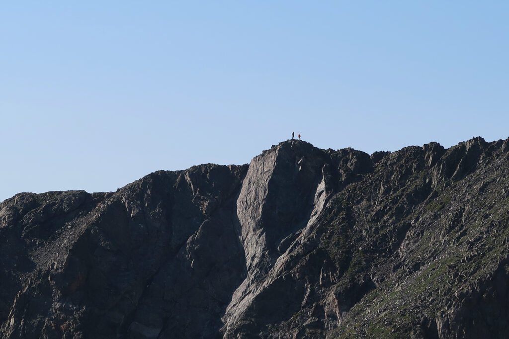
In sharp contrast, my hike was almost deserted that morning. I was the first hiker up on the ridge, and would run into perhaps just a dozen hikers in total that day. But on nearby Mt Helen, I saw a few groups already midway through a more intense scramble to Dyers’ summit.
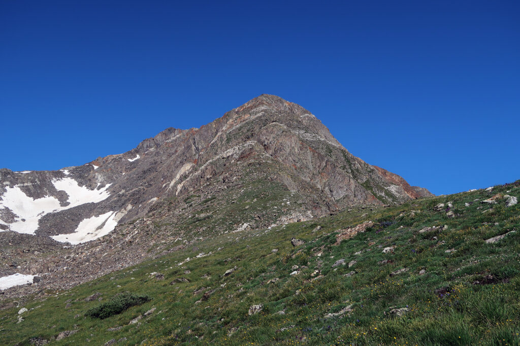
A Bridge to Technical Summits
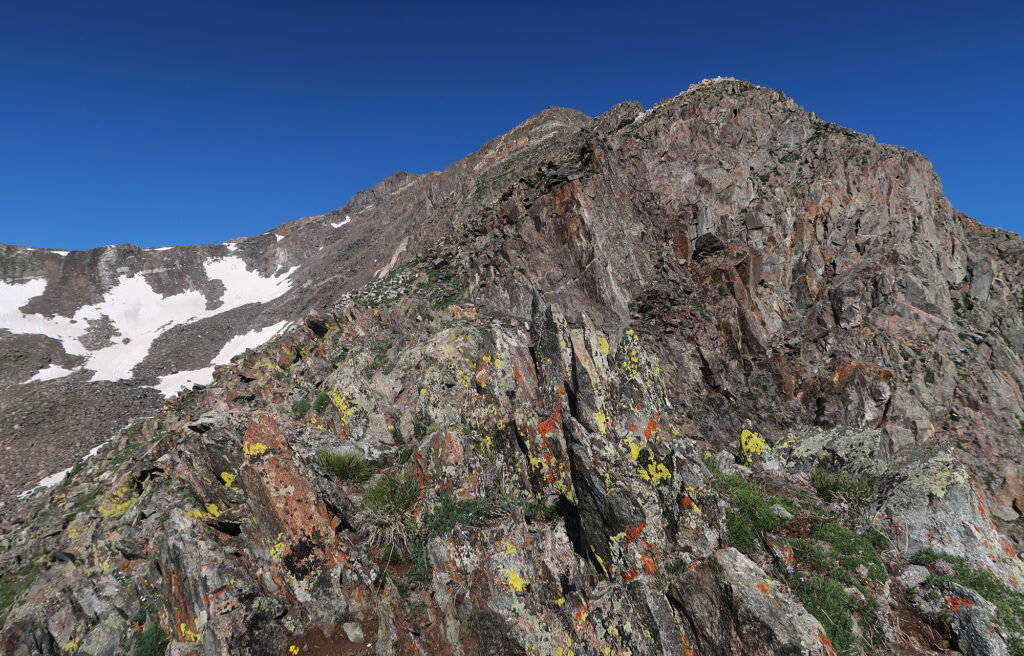
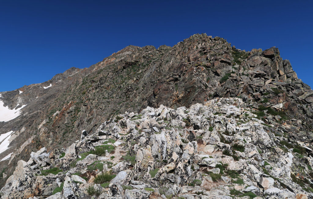
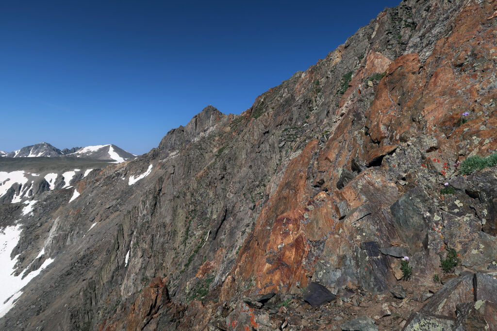
My route would provide adventure enough for a solo hiker just trying to stretch his legs/arms early season. And it was just starting to get good. The next half mile was the highlight of the route, providing light scrambling on good solid rock (well, for the Rockies). As promised, there were only brief moments of exposure/consequence. And the “correct” route was pretty straightforward the whole time.
In all, I considered it a decent bridge between 14ers like Castle/Conundrum (“difficult class II”) and the Wetterhorn (“class III”). There are also 14ers within this bridge zone, most notably Sneffels and Kit Carson. But both those routes provide perhaps a lot less ‘bang for the buck’. They are among my favorite 14ers, but their standard routes involve a whole lot of Class II schlop versus time spent actually building scrambling experience.
Nearing the summit I ran into a group of three scramblers heading in the opposite direction (down climbing). They had just finished the Helen/Dyer traverse. Other signs of their higher risk appetite: no helmets!
Father Dyer Peak
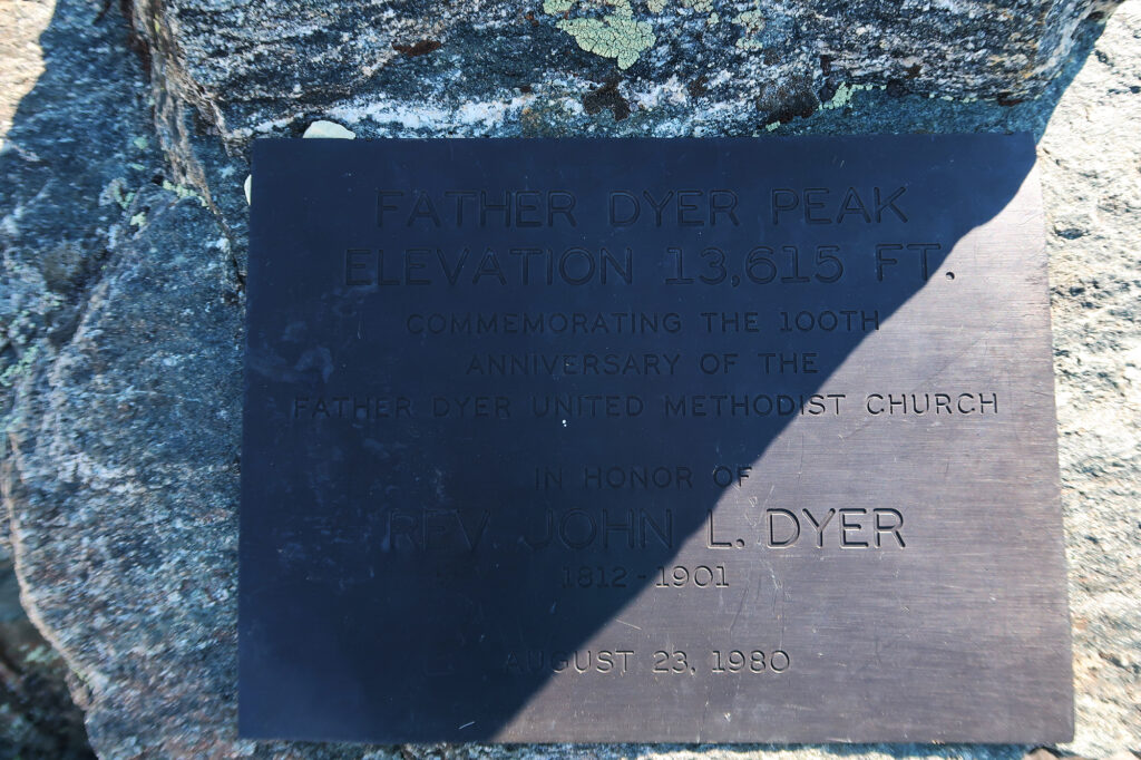
Soon I reached Father Dyer Peak’s 13,600-ish foot summit. This “peak” is really just a small bump in a ridgeline below nearby Crystal Peak (my next target!). And its elevation doesn’t really warrant mention in the context of the broader Ten Mile Range. But it was definitely a fun scramble, and is named for a pretty cool figure in the local area’s history.
John Lewis Dyer was a methodist preacher who moved out to Colorado in its early mining days, frequenting towns on either side of the Ten Mile and Mosquito ranges. His earlier travels in the upper midwest led to experience with Scandinavian techniques of skiing/snowshoeing. And thus he’d regularly cross 13,000+ foot passes between mining communities in Colorado, on skis, to visit congregants. To this day, a church in Breckenridge bears his name, along with a sky run at the resort (Dyersville).
Onward to Crystal Peak
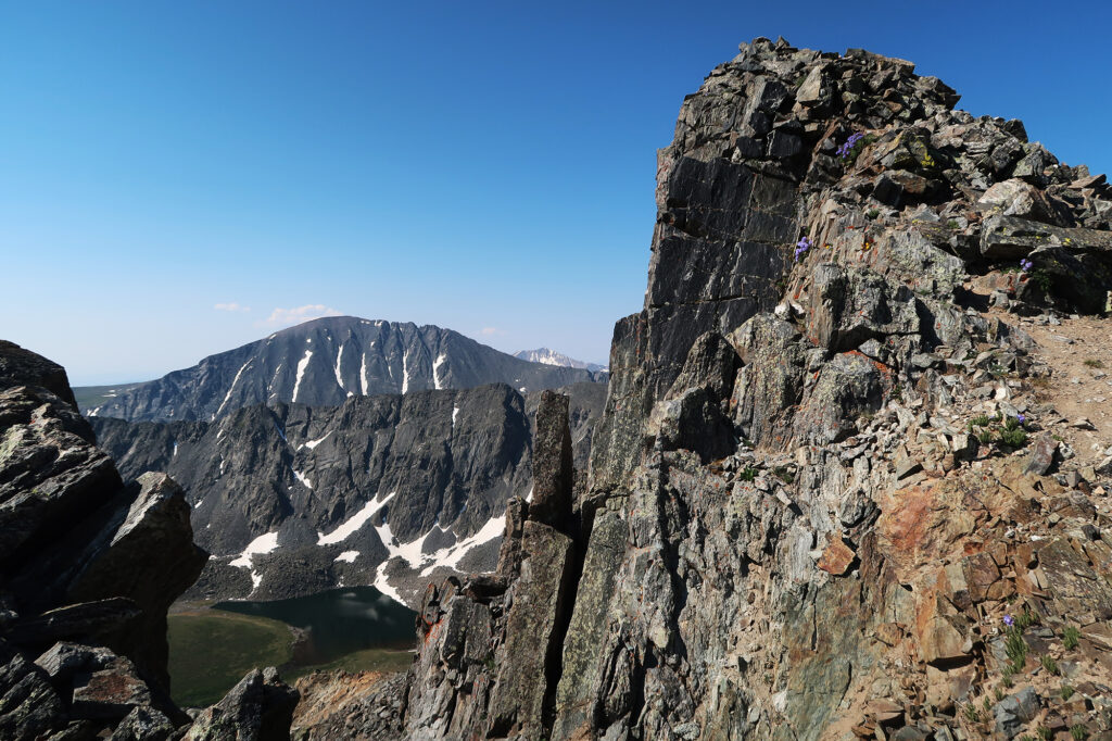
The easiest way down from Father Dyer happens to involve ascending nearby Crystal Peak, and descending its opposite flank. And so I set my sights even higher, traversing the broad, gentle ridge of talus towards Crystals’ Summit.
Crystal Peak, at 13,860′, ranks among the 100 tallest peaks in the state—the so-called Centennial Peaks. While the short Ten Mile Range is home to just one fourteener (Quandary), it hosts a whopping five centennials, including Crystal. Thus my early-July intro scramble would also involve some peak bagging after all.
It was quick work to the summit, giving up perhaps 100 feet while gaining just under 300. There was no real “trail”, but as talus-hopping adventures go, this one was quite tame on the legs.
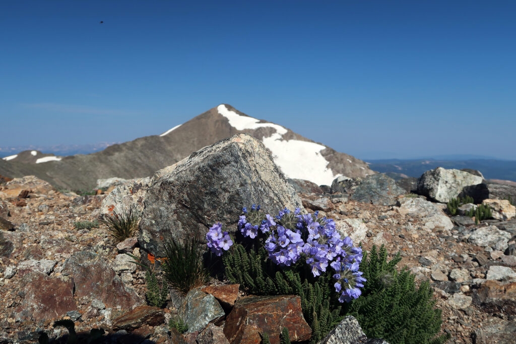
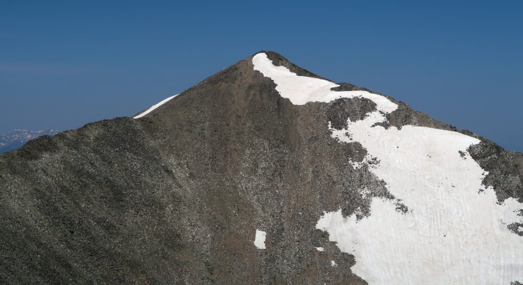
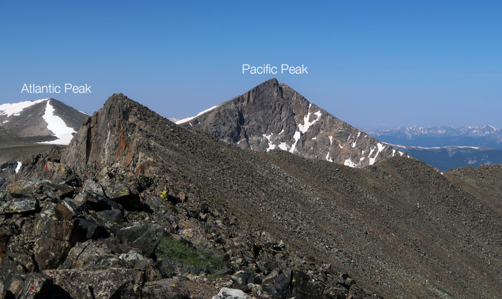
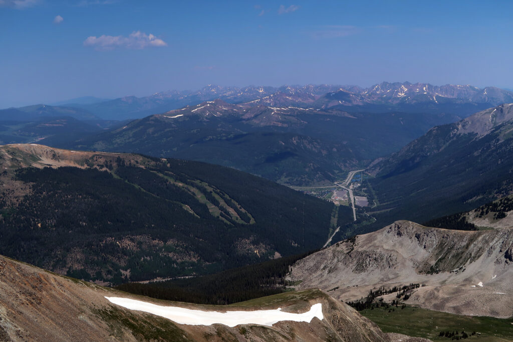
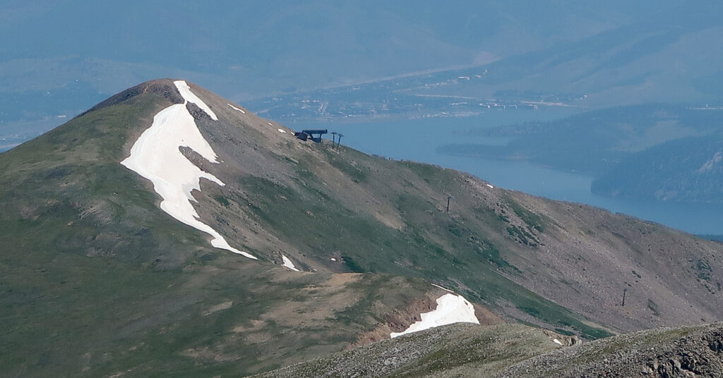
Crystal Peak afforded new views, from the spine of the Ten Mile Range. From the summit, I could see West, towards Copper Mountain, I-70, and the Gore Range. A bit closer and to the north, I could see the Imperial Chairlift at Breckenridge—North America’s highest chairlift. It was a satisfying feeling, seeing it from roughly 1000 feet above its terminal.
The Return
After a brief respite, I continued down the northerly ridge of Crystal Peak, back down towards Lower Crystal Lake. This route was a pretty standard non-technical trail. Tight switchbacks on the upper ridge crossed brief bouts of steep snowpack. But soon I was on the longer, dry switchbacks down into the basin. This was already an excellent hike, but the fact that the upper half was a loop made it even better.
Then it was back through the woods towards the trailhead, and lunch.
