April 15, 2023
Almost Heaven
My day began in Pittsburgh, about three hours north of Spruce Knob. I left my hotel around 4 am, crossing the Monongahela River on I-376. Even in those small hours, plenty of trucks rumbled about on the highways of southwestern Pennsylvania. But the roads grew progressively quieter and smaller as I worked my way South and East into the rural mountains of West Virginia.
By the time I dropped down into Seneca Rocks, the sun had risen to illuminate rugged slopes, carpeted in bare hardwoods. West Virginia bills itself as the “mountain state” and it’s not a terrible descriptor. By now, a very obvious John Denver song was very obviously stuck in my head.
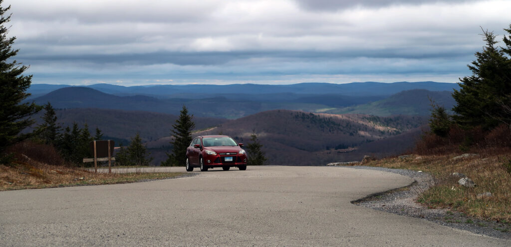
Finally, I wound my way up the lower slopes of Spruce Knob, parking near an old dirt road at 3,800′ above sea level. Just one other car was present at this trailhead.
The Huckleberry Trail
Spruce Knob sits within the Spruce Knob-Seneca Rocks National Recreation Area. Within this protected area you’ll find world-class rock climbing and the state’s highest mountain. And a vast network of trails within this region can make a hike to Spruce Knob arbitrarily long and arduous. Or, like most people, you could simply drive to the summit. Parking atop the mountain sits just a short stroll away from the official high point.
I chose an option somewhere in between. I parked just about 1000 vertical feet below the high point, and hiked roughly 5.5 miles, one way, to the summit. On my mission to visit each state’s highest point, I generally prefer to reach the summit on foot. And this means starting from some reasonable person’s definition of the “base” of the mountain. That said things get very squishy for not-particularly steep or cuspy mountains.
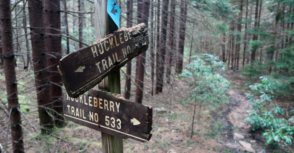
I left the pavement and started up an old dirt road headed north/northeast. Roughly one mile in, a somewhat obvious dirt single-track trail peeled off into thick woods. I took this branch and soon met up with the Huckleberry Trail.
From there, the slope mellowed out. I passed through a mixture of evergreens and hardwoods toward the summit. This was not quite the boreal forest of New York and New England’s highest peaks.
Life is old here
Now, about that John Denver song. From every map I’ve seen, the “Blue Ridge Mountains” just barely graze the easternmost reaches of West Virginia. The Shenandoah River likewise only exists near these extremes. So if you’re in Harper’s Ferry, then yes, the song is technically accurate. But the Allegheny Mountains form the real backbone of the Mountain State. And Spruce Knob forms the summit of the Alleghenies. You can see the Blue Ridge mountains across the valley, in nearby ‘Normal’ Virginia. But that’s really the only connection.
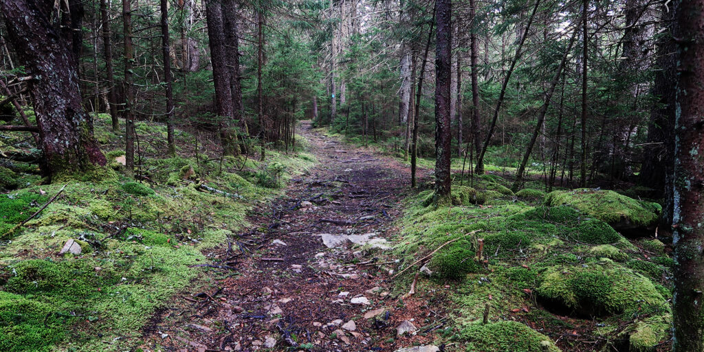
All that said, one line of the song really rings true about the mountains of West Virginia, and the Appalachians at large: life is old here. Older than the trees.
The Alleghanies, like much of the Appalachians, formed over 500 million years ago. They are among the oldest mountains in the world. An order of magnitude older than the Rockies or the Himalaya. They are, supposedly, about 100 million years older than trees. Not “the trees” in the region. Like trees as a type of plant in general. Pretty mind-blowing.
The Appalachians have seen our solar system orbit the galaxy roughly twice. They have seen dinosaurs come and go. They will probably see humanity come and go.
Ridge and Valley
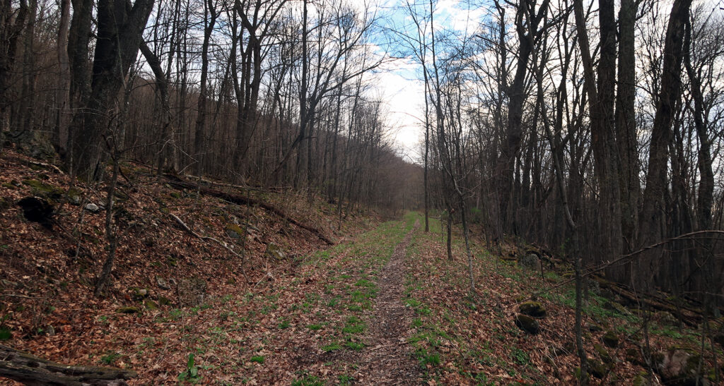
Much of my hike’s mileage took place along a broad, gentle ridgeline. Between New York and the Carolinas, much of the Appalachians can be described as “ridge and valley” formations … long streaks of topographical corduroy.
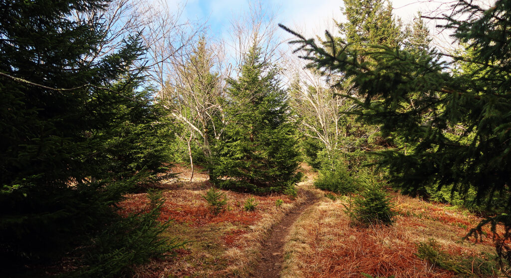
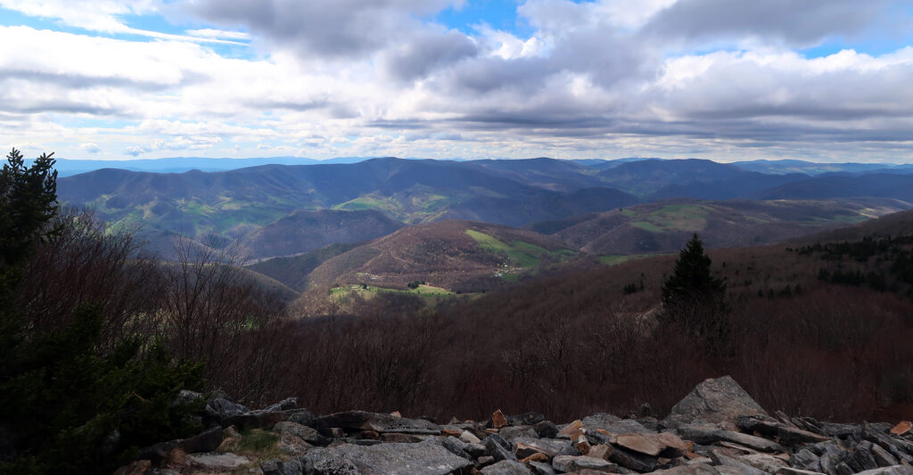
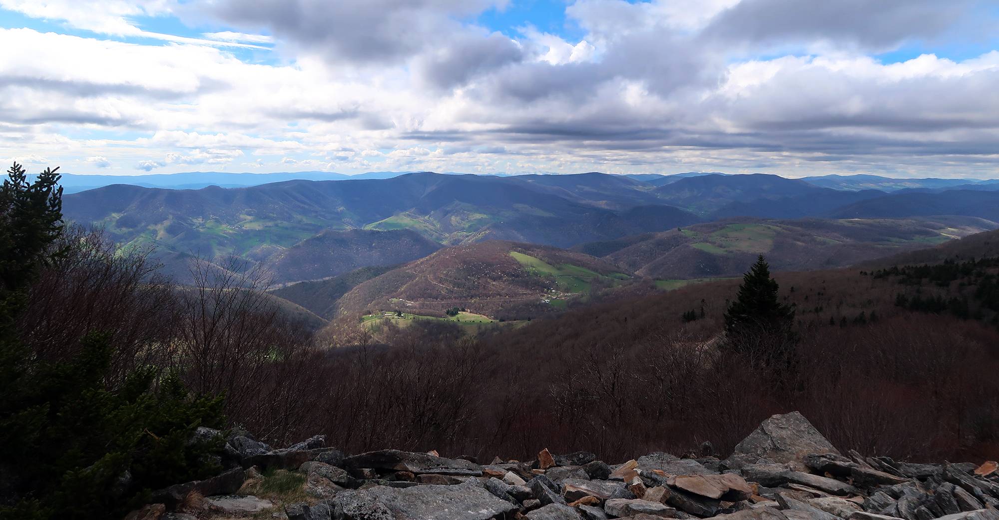
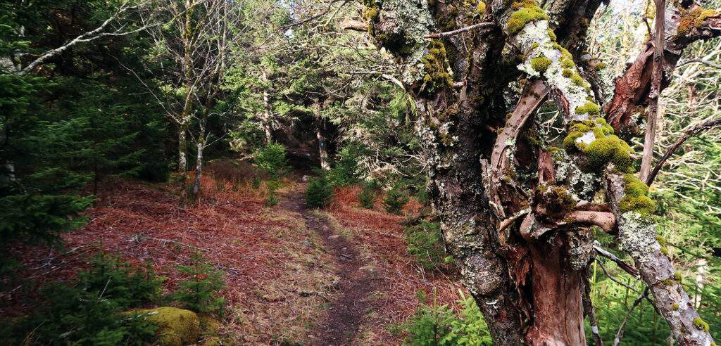
Up here near 4800′, hardwoods had yet to bud. But ample moss and lichen lent them bits of greenery regardless. And I appreciated seeing through the stands of trees to the hills and valleys beyond. This wasn’t an arduous hike, but it had decent mileage and I took my time.
Spruce Knob
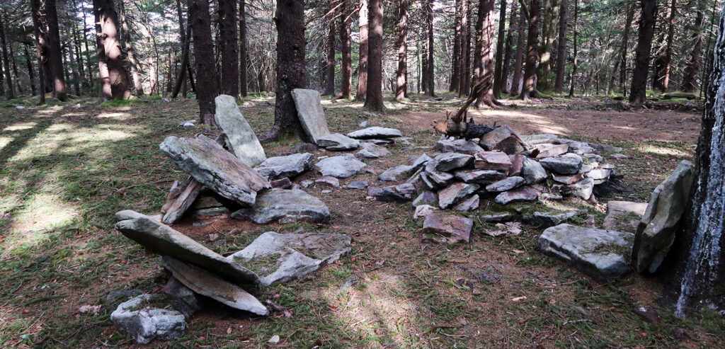
Finally, I reached the summit area. I crossed the paved roadway and parking area. A gravel path led off toward the true summit. Just a handful of cars were parked here on this Saturday morning.
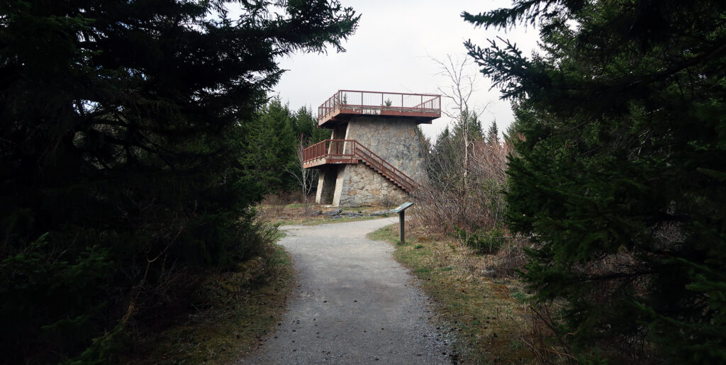
I set off down the gravel path toward the summit. The summit was forested. But a massive concrete and stone tower provided views above the trees.
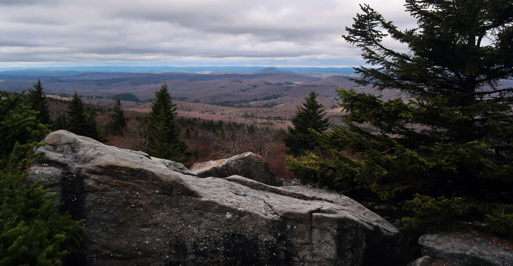
The gravel trail also continued, past the tower, towards some rock outcroppings. These views were superior, in my opinion. They also felt way more natural.
The day was young, but I had two more hikes left before arriving back in Pittsburgh. It turns out the West Virginia high point is within an hour or two of both Maryland and Pennsylvania’s geographical apexes. I backtracked along the ridgeline and down toward the trailhead.
