
August 23, 2021
Hiking Vail, Gondola to Gondola
Most folks know Vail primarily as a skiing and winter destination. And few would argue that this storied resort truly shines brightest when dressed in powder. But the “mothership” of America’s largest skiing company offers myriad recreational opportunities year round.
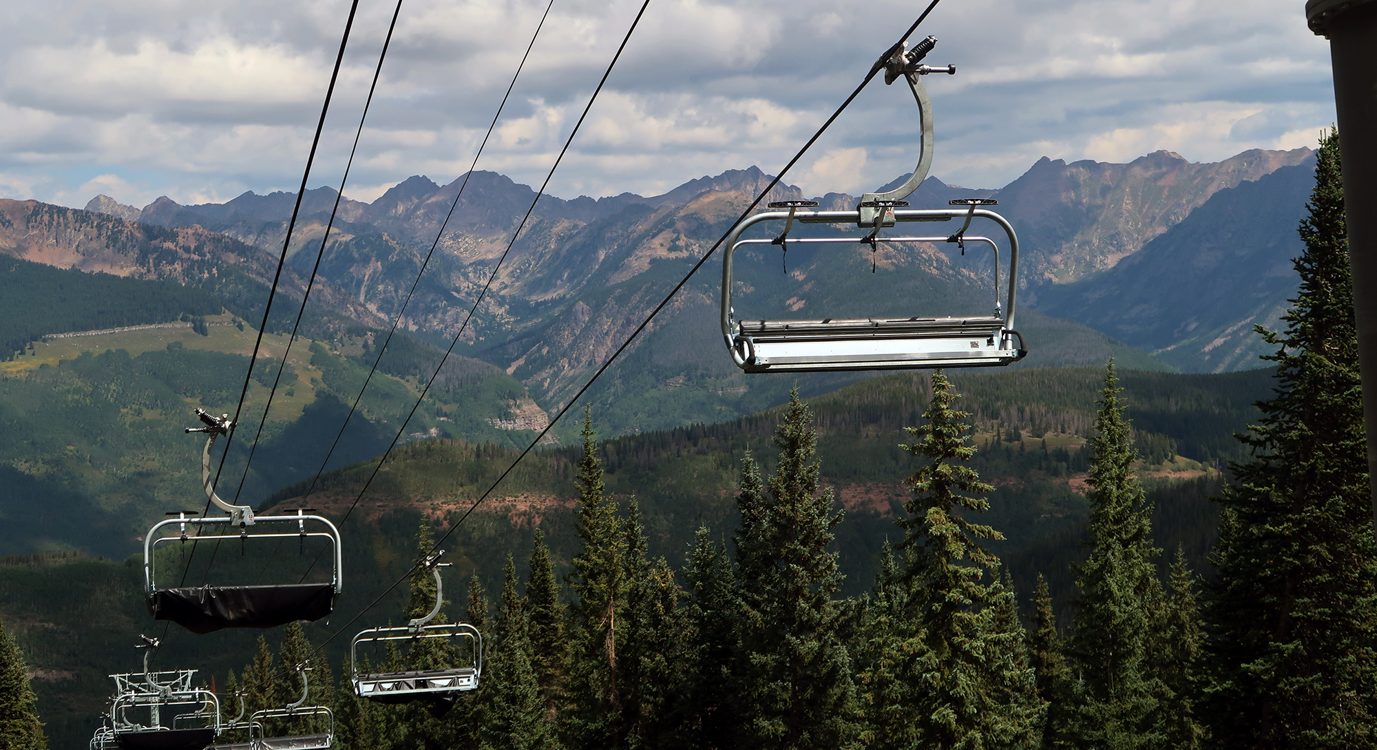
In the summer months, Vail runs both its out-of-base gondolas (Gondola One and the Eagle-Bahn). These lifts hoist you 2000 vertical feet above the valley floor, allowing casual hikers to wander atop the resort’s gentle ridge lines, taking in big mountain views.

Your hike can begin and end at just one gondola. But using both turns the affair into a giant “loop”, with a stroll through the village and along Gore Creek.
Nothing comes for free in this world. And Vail’s gondolas are sadly quite expensive in the summer. Adults can pay roughly $30-40, last I checked. And of course this does not include any skiing. That said, Epic Pass holders get free gondola rides all summer long.
The Northeast Rim Trail
My hike began with an ascent on Gondola One from the main village. This rises roughly 2000 vertical feet to “Mid-Vail” where skiers normally take a second chairlift to summit the ridge.
Hikers can choose from several hiking options in Mid-Vail. The “Meadows Loop” takes you around the upper front side of the resort. A green rating designates this as an easier walk. You can also simply walk along a dirt road from gondola to gondola (Eagles Nest Road) … which will only take 30-40 minutes at a relaxed pace.

I chose to take the “Northeast Rim” route. Among the front side hikes, this brings you through the most wooded areas. Beyond offering shade and seclusion, this route also features sweeping views of the northeast bowl, and Gore Range beyond.

The trail rises roughly 1000 vertical feet over a couple miles. It switchbacks through the woods. Occasionally the trail crosses steep open ski runs like Riva Ridge and Prima. Along these stretches, the trail affords gorgeous views of the rugged Gore Range across the valley.


This trail also crosses right along some of the resort’s most infamous (and steep!) terrain. Towards the top, you pass under the upper slopes of Prima Cornice which is known for difficult lines through avalanche-prone chutes and trees.


Along the Summit Ridge to Eagle’s Nest
Eventually, I reached the summit, roughly 1000 vertical feet above the gondola. I then began a gentle descent along a series of trail segments (Sunlight, Kinnikinnick, and Ridge Route). Along this segment, the trail features views of Vail’s “famous” back bowls.

Next, I passed a couple of picnic decks, complete with a porch and tables. Across the way from the rolling grass bowls lies “Blue Sky Basin”—Vail’s most remote ski runs. Even further in the distance, the Mount of the Holy Cross looms large over the landscape.

Eventually, I made it to the Eagle’s Nest, the top of Vail’s second gondola, the Eagle Bahn. Unlike Gondola One, the Eagle Bahn deposits you directly on the high ridge line (though at a lower elevation than the summit area). The spot features outdoor dining, a mountain coaster, and other family activities.

I descended the Eagle Bahn back to the village. From there it was a 20-minute stroll along Gore Creek and through the Village back towards Gondola One. In true Vail fashion, you can treat yourself to a gourmet meal at myriad spots in town. That said, I opted for a couple slices of pizza at Vendetta’s, near the main lift.
Thanks for the Northeast Rim Trail description. Just what I needed to plan my hike.
One correction: I believe your deck photo is of Parker’s Deck, not Steady’s. The former overlooks Sundown Bowl with Holy Cross in the distance; the latter is on the front side and faces north.
Thanks Beth, will fix.