October 10, 2023
Arrival
I left Gatlinburg well before dawn, in hopes of getting up and into Great Smoky Mountains National Park sans traffic jams. This basically worked. I wound my way through the pitch darkness of the forest, en route to the high ridge crest at Newfound Gap. The lack of views did not bum me out: I’d be coming back the same way later that day.
I arrived at Newfound Gap just as the first glow of dawn began to spill over the ridge lines to the East. Despite being pre-sunrise on a weekday—a school day—and overcast, there were plenty of other cars at the lot. This was, after all, America’s most-visited national park. And it was the Tuesday after Columbus Day weekend.
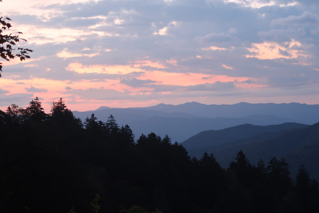
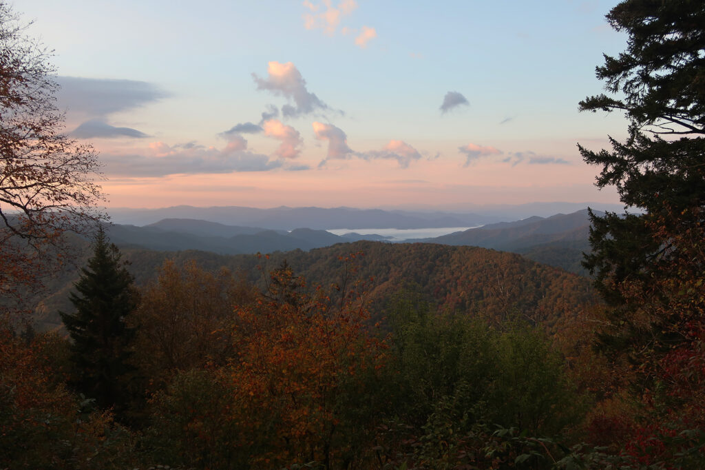
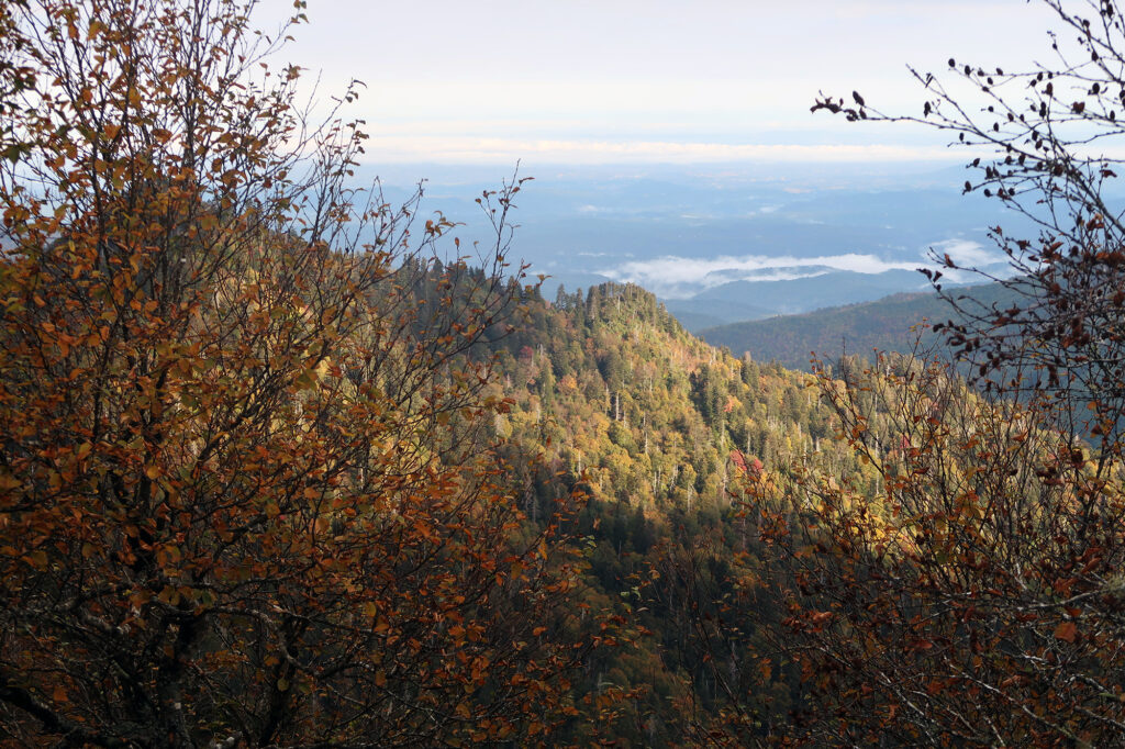
As the light grew, I saw gorgeous tints of early Fall Foliage on the surrounding hills. Low-lying clouds filled nearby valleys. Bits of fog and moisture hung in the air. “Smoky” was indeed an apt description.
The Appalachian Trail
I came to Newfound Gap with a mission to visit the highest point in Tennessee: Kuwohi. But before doing so, I wanted to enjoy a slightly more remote and scenic hiking experience. The famed Appalachian Trail intersects this main park thoroughfare at the Gap, roughly 5000′ above sea level. Heading South it reaches its apex at the aforementioned peak. But that hike stays annoying close to the mountain’s summit auto-road.
But to the north the AT heads away from pavement and concessions, along a high ridgeline forming the border between Tennessee and North Carolina. And roughly four miles north from the trailhead, it reaches a scenic outcropping known as Charlies Bunion. I decided this would make for an excellent sunrise hike. Hopefully one not thronged with other park goers.
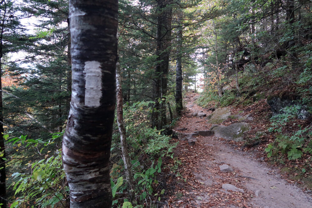
So I set off in that direction, following the familiar white blazes of the AT. At this point I’ve been fortunate enough to hike brief stints of the 2000-plus mile trail in numerous Eastern states. These have included Tennessee, North Carolina, Virginia, New Jersey, New York, Connecticut, Massachusetts, New Hampshire and Maine.
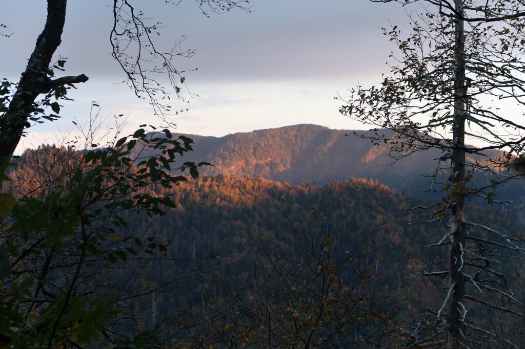
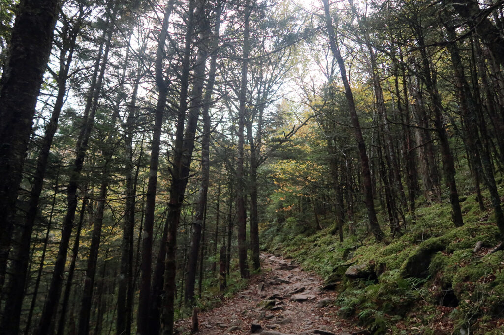
This particular section was definitely a stunner. The trail ascended, roughly 1000 vertical feet, through leafy. moist forest. Gaps in the trees revealed sweeping views, mostly to the North into Tennessee. Around this hour I saw only a handful of other hikers.
A landscape of rebirth
Like nearly all of the Eastern US (and most of the forested West), the Smokies saw extensive logging and human activity before receiving national park status. The high ridge line I hiked along was no exception. In the 1920s, large piles of deadwood left over from logging led to a massive, intense forest fire. This left the soil effectively sterile and devoid of life. A few years later, intense rains heavily eroded the area, leading to some of steep cliffs and sweeping views now found along the trail (including Charlies Bunion).
In the midst of the Great Depression, and Roosevelt’s numerous jobs programs, the Smokies gained National Park Status, and the AT was built along its central spine. The ensuing century has brought rebirth to the forests of the park.
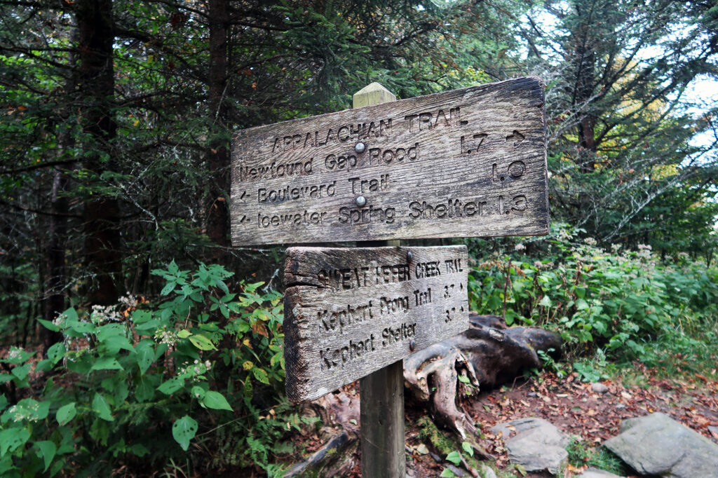
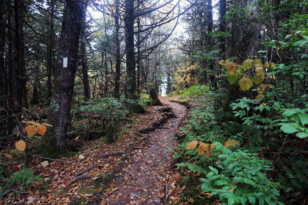
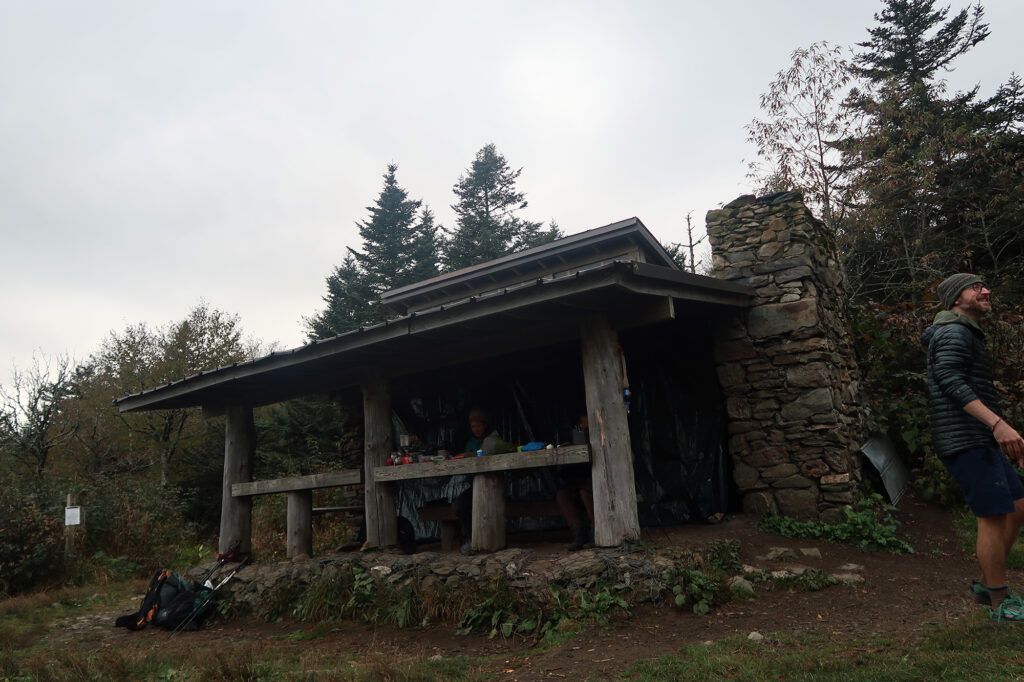
After cresting around 6000′, the trail began to descend towards my final destination. Round-trip this hike clocks in around 8 miles and just under 1900 vertical feet of ups and downs. I passed one of the AT’s many lean-tos, with southbound thru-hikers getting ready for another day of trekking.
Charlies Bunion
As the story goes, some experienced locals hiked to this high ridgeline shortly after the intense rains in 1929. They found the rains had swept away so much scorched Earth as to reveal rocky outcroppings. Charlie Connor, a mountain guide, removed his shoe to reveal a painful, swollen bunion. And thus the name was born. I can’t seem to find any account of when and why the apostrophe went missing.
From here, the adventure diverged, if only briefly, from the AT. I negotiated a bit of steep and rugged terrain, as the views grew more impressive.
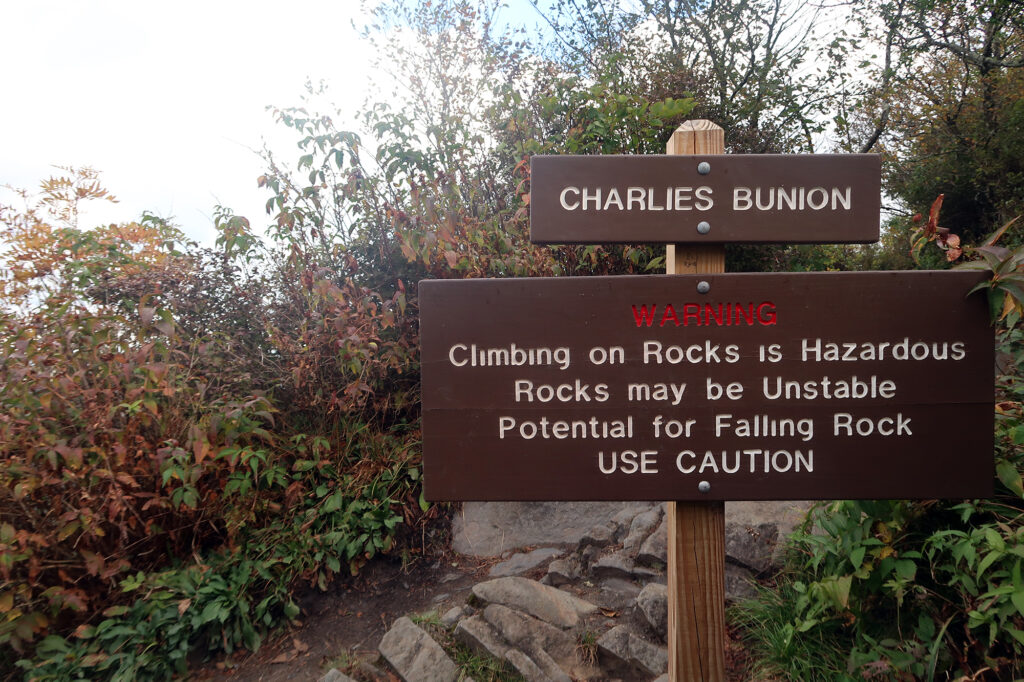
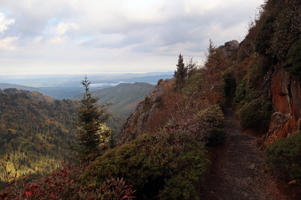
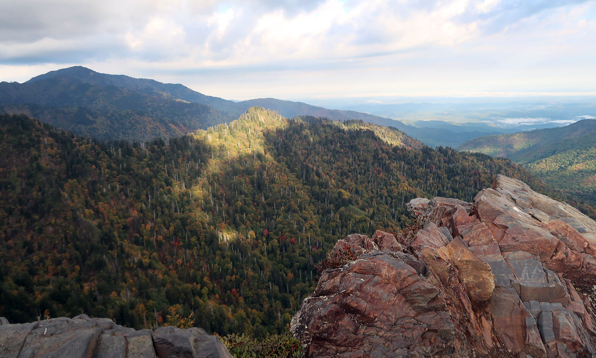
Soon enough I stood atop the “bunion” with stunning views all around. A fellow sunrise hiker had set up a tripod on the rock. But otherwise, we had the place to ourselves. I stood a while, soaking in the Tennescenery. Then it was time to do it all again in reverse.
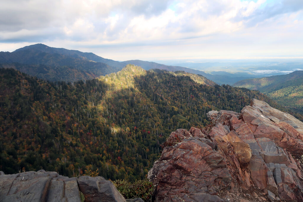
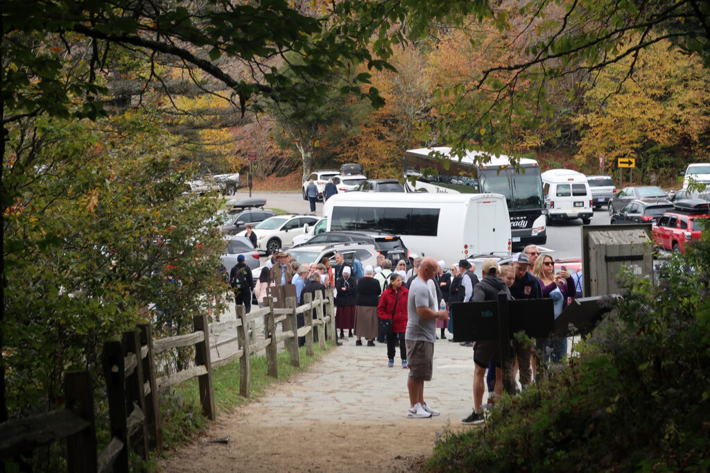
The journey back involved a substantial re-ascent to 6000′. But then it was a gentle downhill coast to the trailhead. On my way back down, I began to pass more and more fellow hikers. The growing density hinted at just how thronged the park would be that day. By the time I was back at Newfound Gap, the trailhead was packed with groups preparing to enjoy a similar outing. The lot had nearly filled and still more cars streamed in or past, along a now-clogged roadway. America’s most-visited national park, indeed.
