
September 24, 2023
Arrival
We trundled up the bumpy dirt road to the North Cottonwood Creek trailhead. We arrived just before 5 am, and it was still pitch black. It would remain dark for over an hour still. The days were growing shorter, and chillier. But we needed every hour of sunlight we had for today’s adventure, and I always prefer starting in the dark to finishing in the dark.
Today’s objective was a classic Sawatch twofer: the Harvard and Columbia Traverse. And so we “pahked the cah”, donned our headlamps, and set off.
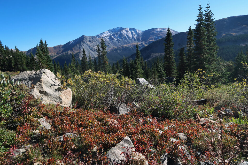
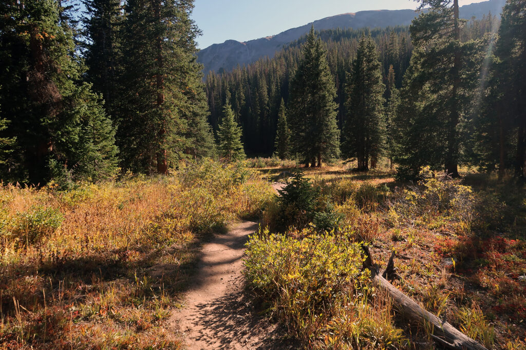
The first 2.5 miles rose gently, traveling along North Cottonwood Creek and rising a bit less than 1000 vertical feet. It was a great warmup round for the long day head. From there, we followed Horn Fork Creek, into Horn Fork Basin, pushing past 11,000′ through thinning trees. We passed under the flanks of Mount Columbia, our second target for the day. By now, direct sunlight began hitting tall peaks nearby.
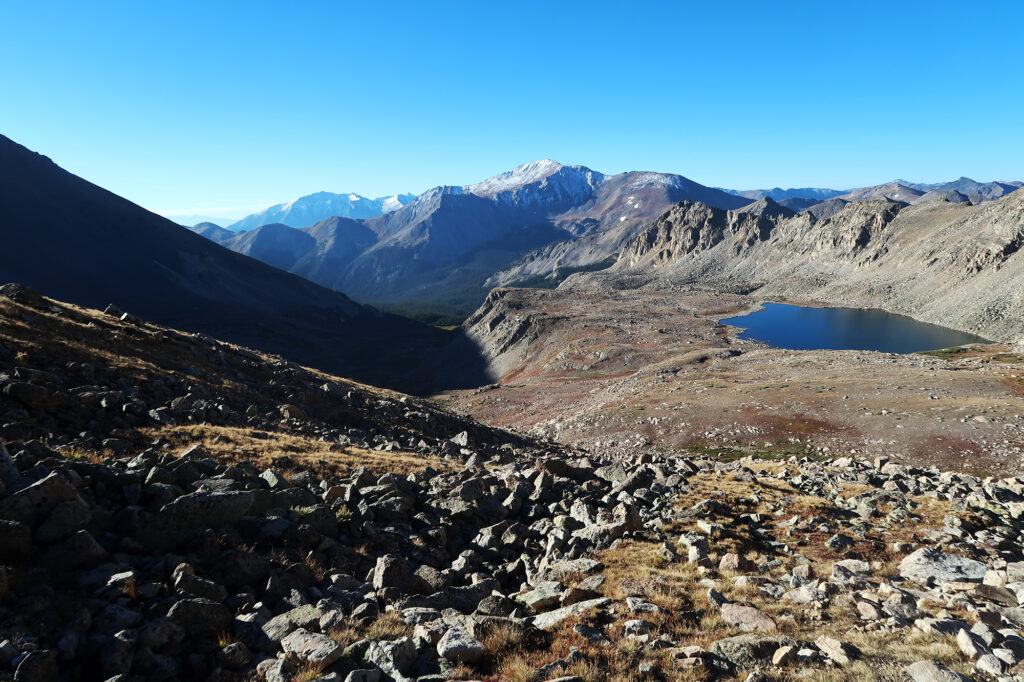
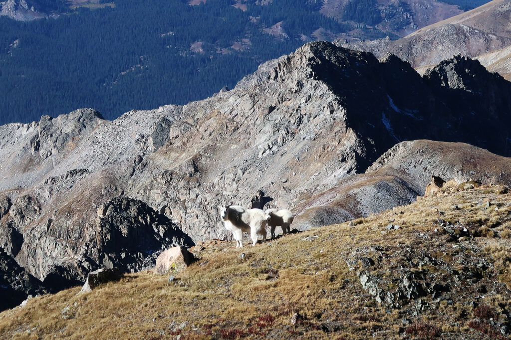
Around mile six, we hit 12,500′, well clear of the trees, and finally warm under direct sunlight. Ahead of us loomed Mount Harvard. Just below we saw a large alpine lake, dubbed “Bear Lake”. From here, the trail would ascend in earnest.
What, like it’s hard?
I had saved Harvard and Columbia for last among the Sawatch 14ers. Mostly just because they present a very long day—even by Sawatch Standards.
We’d hike nearly 17 miles that day from the trailhead and across both summits. And we’d rack up over 6000 vertical feet of gross elevation gain. The trails up and down both summits were well-maintained and little more than your standard Class II switchbacks with occasional rock-hopping. But the “traverse” between the two peaks would feature loads of talus and some route finding.
Some folks choose to camp in Horn Fork Basin. But personally I usually prefer to bang out these kinds of hikes in a day, traveling light. We were on the tail end of 14er season, in about as good a shape as we would be that year. And the weather was helpfully cool and sunny.
Mount Harvard
We pushed up tight switchbacks of Mount Harvard’s southwestern flank towards its summit. At 14,423′, Harvard ranks as the third-tallest summit in the Sawatch and all of the Rocky Mountains. It ranks fourth in the lower 48 states (behind Whitney, Elbert and Massive, and just ahead of Mt Rainier). Finally, it ranks supreme among the collegiate peaks of the central Sawatch.
Mount Harvard, nearby Mount Yale, and Mount Whitney all sort of take their name from the same man. Josiah Whitney was a professor of geology at Harvard when he led a team to survey the tallest Sawatch summits. They named Harvard after the team’s sponsor university, and Yale after Whitney’s alma mater. From there the collegiate theme stuck, with nearby peaks named Columbia, Princeton and Oxford.
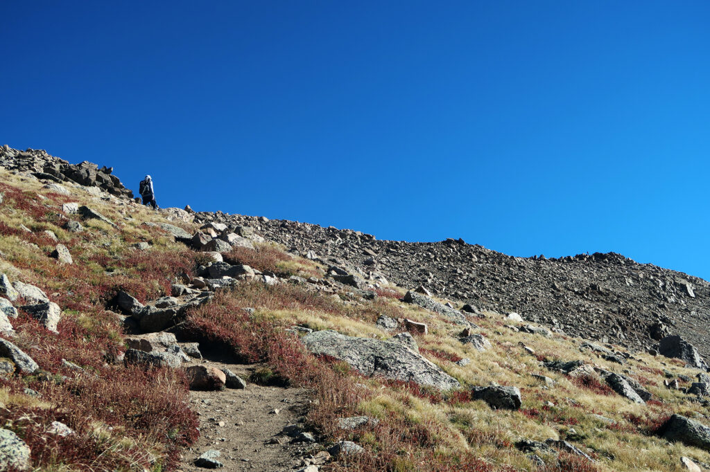
After 7.5 miles and 4500 vertical feet, we had reached Mount Harvard’s summit. This would have been a solid effort for the day, regardless. But for us, the hard part was still to come.
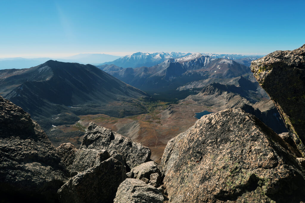
We sat atop the peak in warm, autumn sunshine. We soaked in the views, fueled up, and relaxed in preparation for the “traverse”.
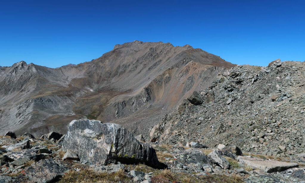
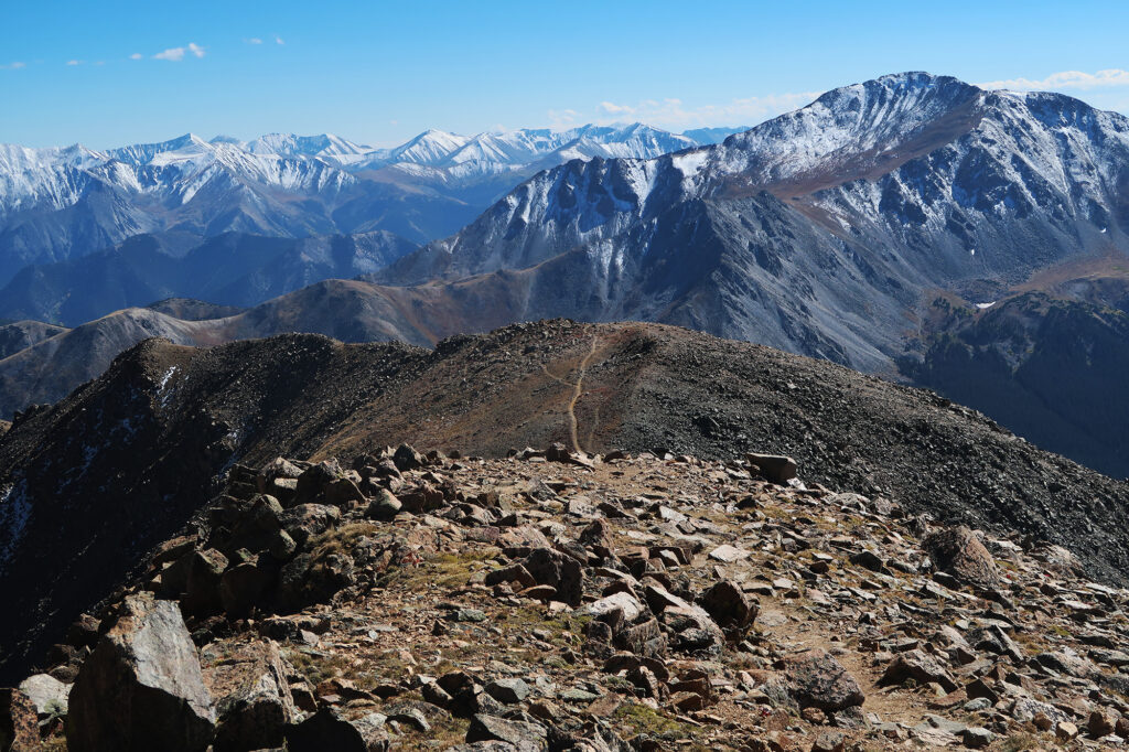
The Harvard and Columbia Traverse
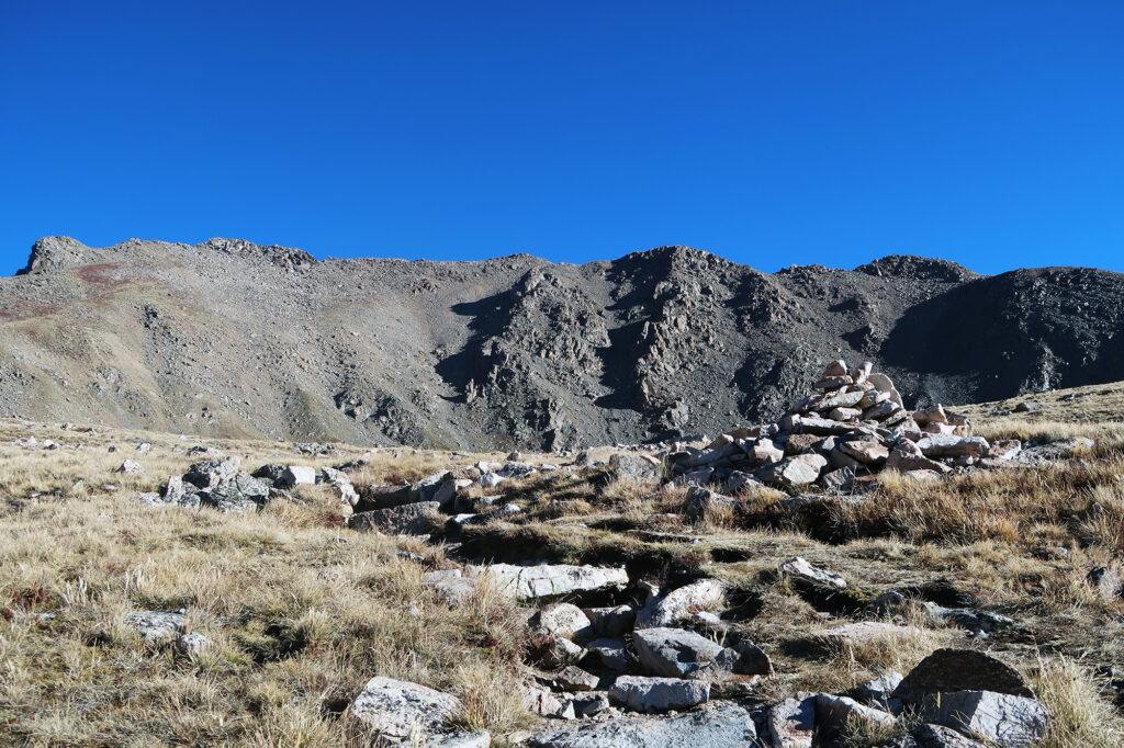
“Traverse” is a bit of a misnomer for traveling between Mounts Harvard and Columbia. The route drops far below the somewhat rugged ridgeline running between the two peaks. Instead, it basically descends well into an alternate basin, through a massive talus field, and back up Columbia. It would add over 1500 vertical feet to our hike, despite Columbia sitting nearly 400 vertical feet below Harvard.
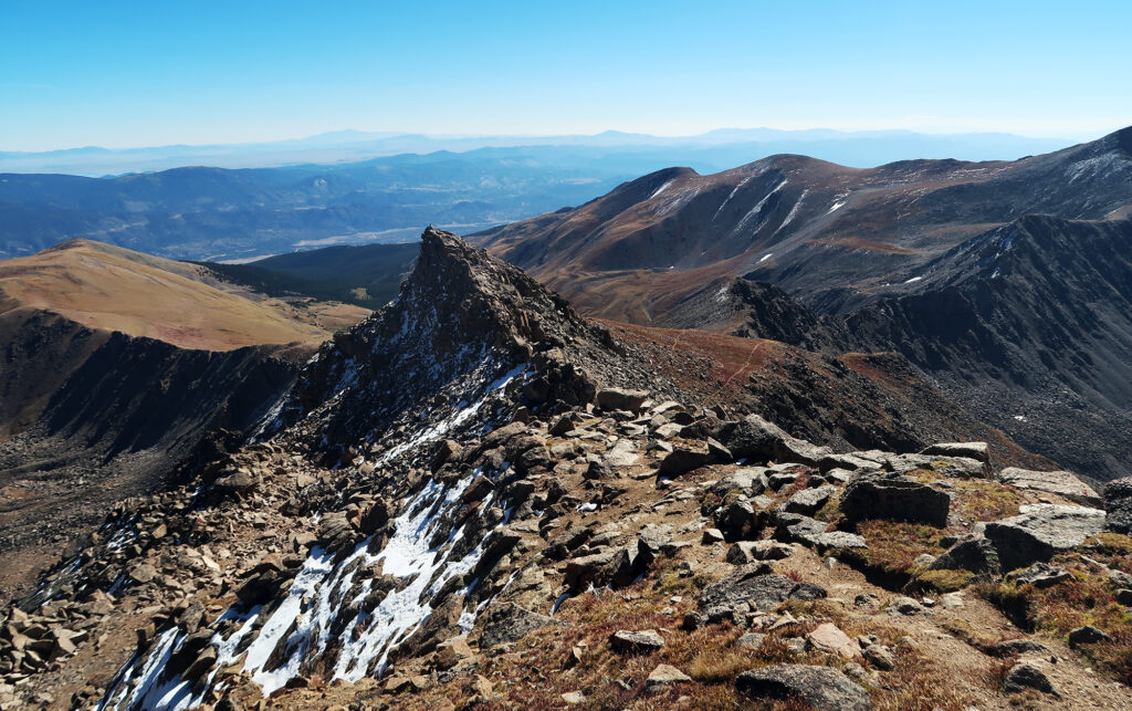
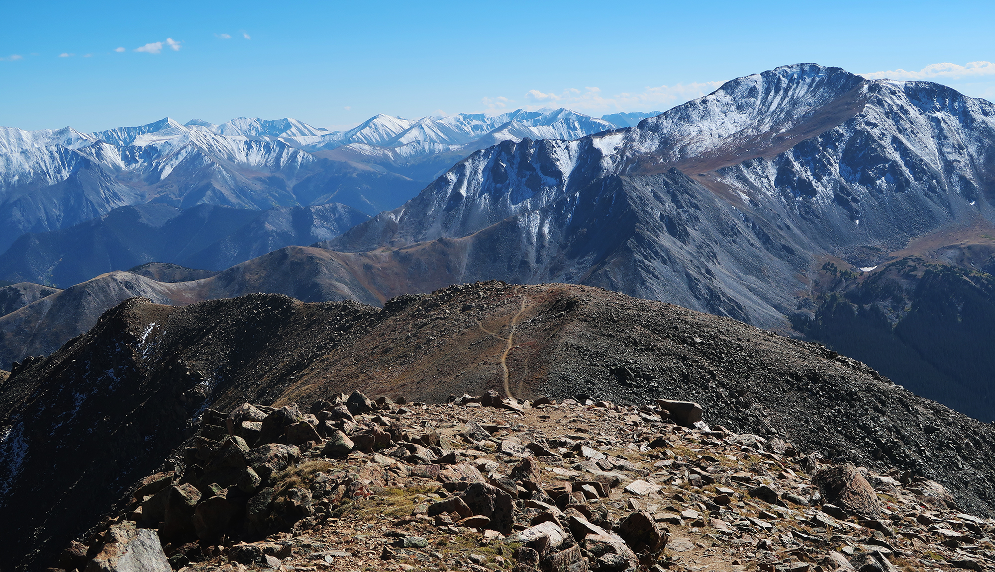
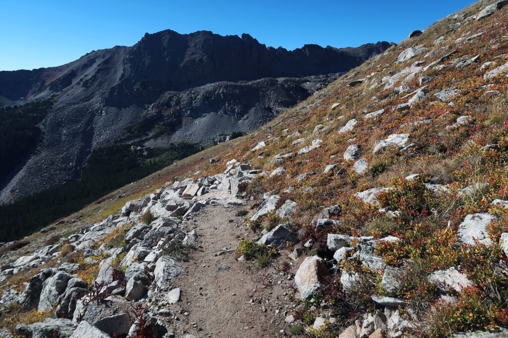
The traverse also involved a fair amount of route finding. The first third, descending from Harvard, featured a well-worn and obvious trail (seen in these photos). But as we plunged down towards the giant talus field below, it became a bit more a choose-your-own-adventure, with the occasional cairn that may or may not have been along a consensus route.
“World of Talus”
A photo on 14ers.com casually refers to the low-point between Harvard and Columbia as “World of Talus”. And soon we discovered why. When I say “massive talus field” I don’t mean the field was massive in extent (although it kind of was). I really mean that the boulders we negotiated were massive. More than once I got “cliffed out” on a dead-end scramble among the boulders. Occasionally we had to leap from one giant broken rock to another, with layers of massive broken rocks lying 10 or 20 feet beneath (it’s talus, all the way down).
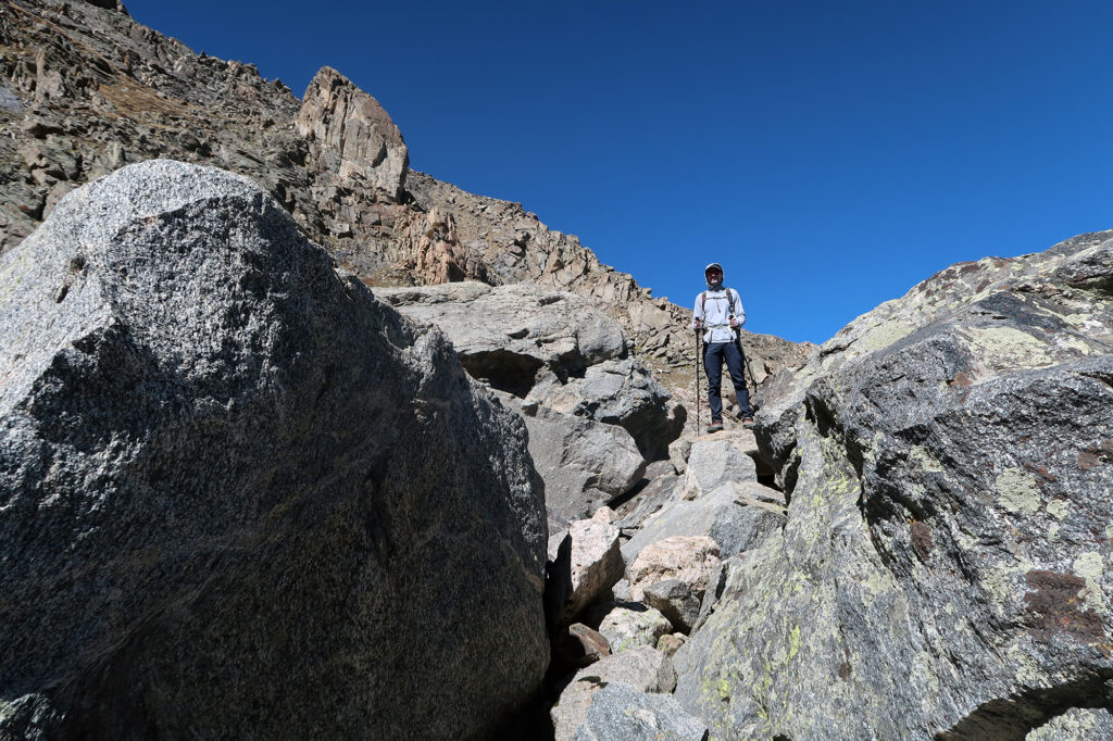
Above tree line in the rockies, steeper slopes are subject to heavy erosion. Absent soil and plants, rocks undergo constant fracturing during freeze-thaw cycles. As a result, the mountains can feel like a pile of boulders more than a single mass. In a typical talus field along a 14er route, you’d be hopping over rocks about 3-5 feet in extent. But for some reason here (perhaps how flat it was), the rocks were multiples that size.
Onward to Mount Columbia
Eventually we left the rocky hellscape and ascended onto grassy slopes up towards Mount Columbia. A single trail was often hard to spot. But the general route was clear, and the gentle grassy slope was easy to follow. I stopped more than once to catch my breath and take a snack break. It was a long day!
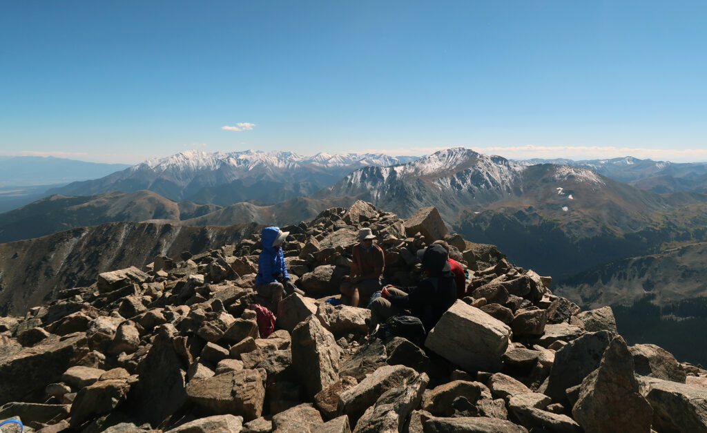
Eventually we reached Columbia’s summit. This was my final Sawatch 14er. It also happened to be my alma mater—I had spent 5 years at Columbia, obtaining my PhD there about a decade prior. It was 75% logic/coincidence that I finished the range atop this summit, but perhaps 25% a desire for something of a symbolic finish.
The descent
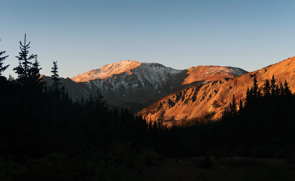
After a quick snack break, we began our descent back towards Horn Fork Basin. The dusty switchbacks were a bit steep/loose and slippery. But without much trouble we were soon back in the safety of the trees. By now it was quite late in the day.
It’s unusual for me to hiking by “golden hour” on a 14er day (the goal is always to get a very early start). It enhanced the already yellow-and-red hues of the autumn foliage within the basin. It was late fall in the high rockies.
Beutiful! Great achievement. Thanks for sharing.