June 19, 2024
Arrival
I wound my way up the narrow, winding road to Taos Ski Valley late one Friday evening in June. Eventually, I arrived at my hotel at the base of the ski area. It was a super nice hotel, the sort of place that charged a small mortgage for nights in the winter, but had some sweet deals in the off season. There I’d catch some very comfortable sleep before ascending Wheeler Peak in the morning.
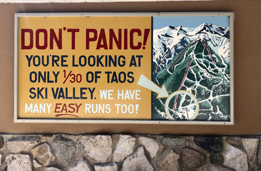
Yes, there is skiing in New Mexico. And yes, it’s on real snow. While New Mexico is one of the most southerly states in the US, it also contains some of the highest altitude mountains in the lower 48. The highest of the bunch is Wheeler Peak, the state’s high point. That was my target for the next day.
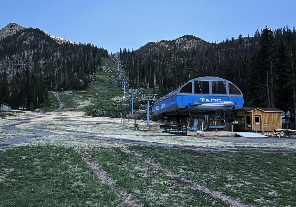
And so, around 4 am the next morning, my alarm went off. It was time to get dressed and drive up to the trailhead. I reluctantly left the cozy hotel, and drove further up the winding (now dirt) road. Soon I reached the “upper” base area of the ski resort, and a small hiker parking area.
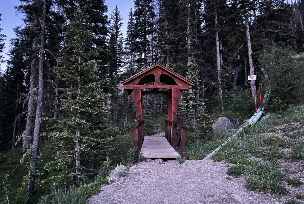
The trail began by skirting the upper base area of the resort, before ducking into the woods through an adorable wooden bridge. From there it quickly transitioned into protected wilderness land.
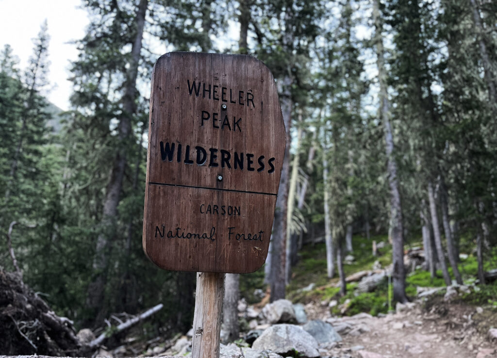
Along the Williams Lake Trail
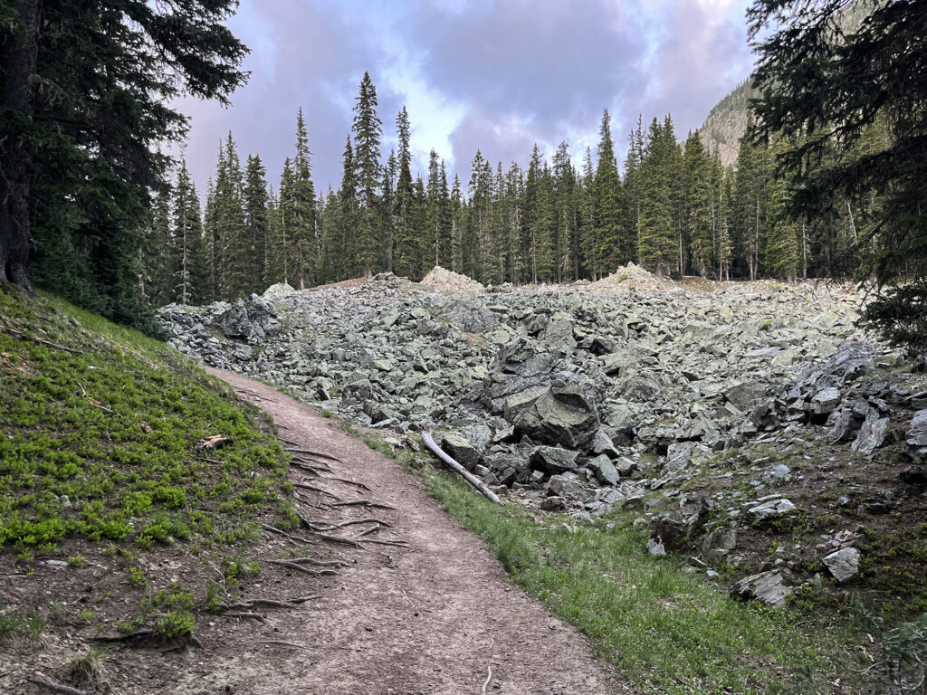
The route to the top of Nuevo México rises 3000 vertical feet in roughly five miles. This makes it a robust but not-too-steep day hike you can bang out in under five hours at a concerted pace. The first third of the route runs along the “Williams Lake Trail” from the ski area to a small alpine lake roughly 1000 vertical feet above. This popular trail follows a babbling stream and features ample views of the dramatic cirques above.
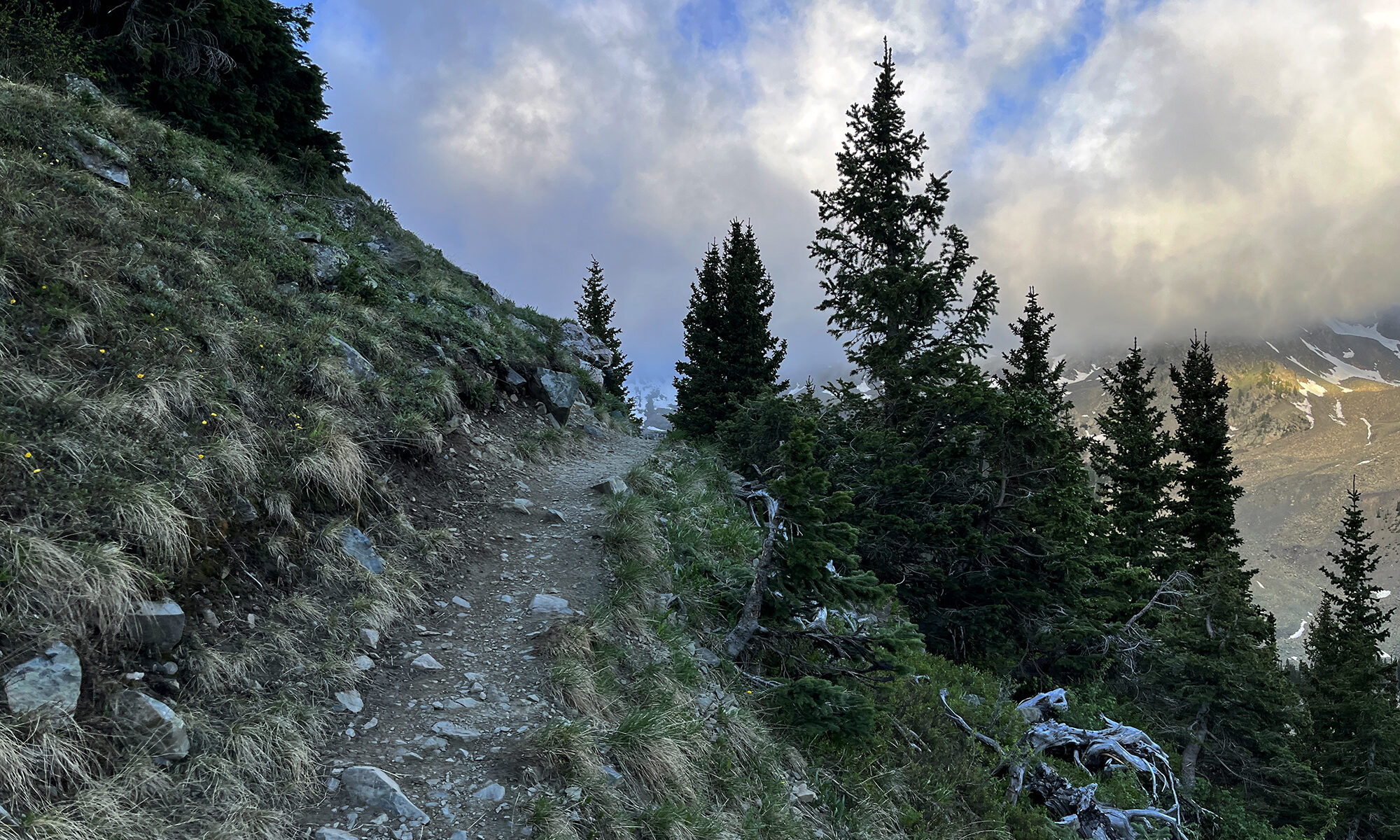
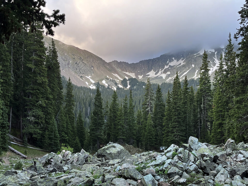
The trail ascended mostly under the cover of tall pines. But occasional views opened up, showing moody clouds and lingering snowpack on nearby mountain slopes. Wheeler Peak and Taos sit within the Sangre de Cristo mountains, the southernmost Rockies of Colorado and New Mexico. They are among the most rugged and dramatic peaks in the range, though Wheeler Peak itself is a bit of a gentle giant.
Towards Wheeler Peak
Just before the lake, the trail forked, with the route to Wheeler Peak heading in a decidedly steeper and more rugged direction. And so I took that route. It wound its way up towards the tree line. The views were becoming more dramatic, and the alpine wildflowers more abundant. Nearing tree line, I saw my fist columbine flowers of the season.
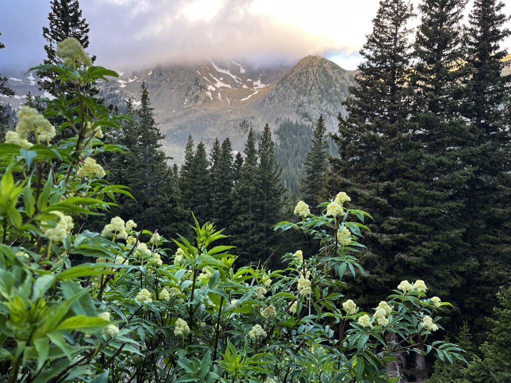
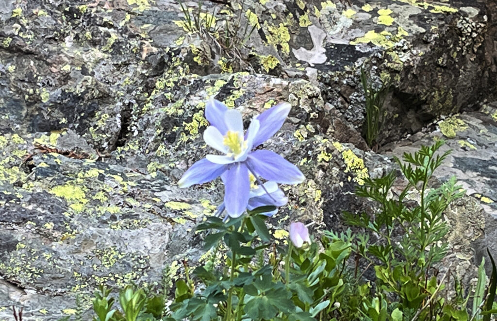
The trail ascended steeper slopes, now taking broad switchbacks. I passed my first fellow hiker of the day, a solo older man. I’d see almost no one up on Wheeler Peak that morning. the weather was too moody and cold to draw many hikers.
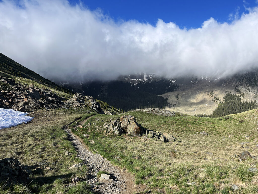
Soon I broke above tree line, and the pitch moderated a bit. The trail ascended towards the ridgeline in a broad, sweeping arc to the right.
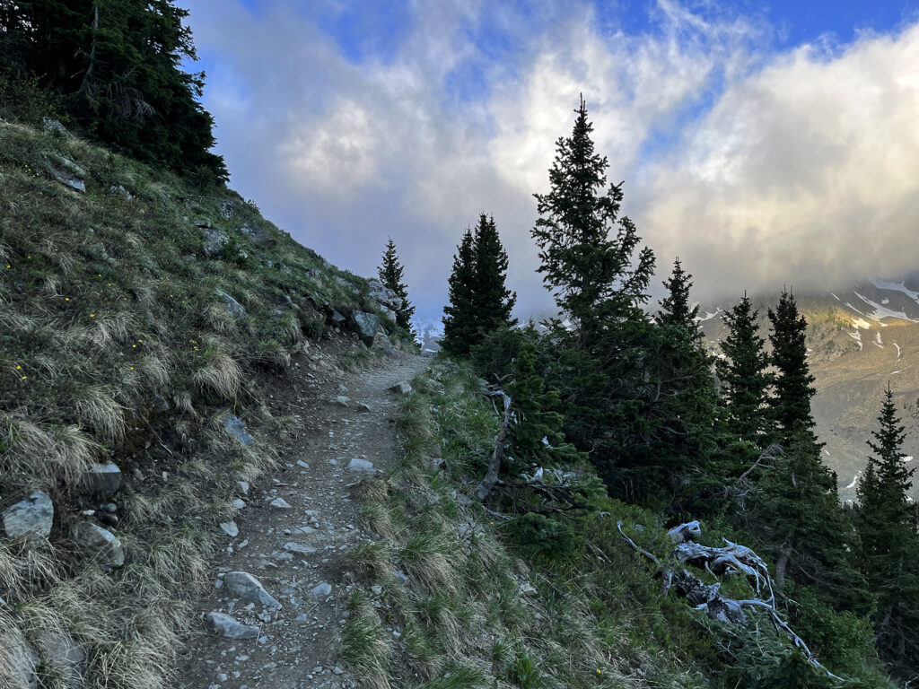
Into the clouds
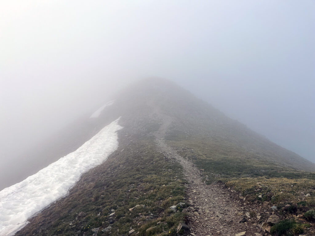
The forecast called for clear skies that day, but some sort of moisture system had managed to get snagged on New Mexico’s highest summit. As a result, I ascended into a cloud. Visibility dropped to perhaps 100 yards. And the wind picked up. Here I was in New Mexico, in June, and I had managed to find freezing cold, wintry weather.
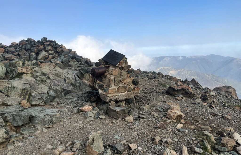
Soon enough, I made it to the peak. I threw on a wool hat, puffy jacket, and ski gloves. I was very cold! I poked around the summit area, where there was a metal canister and a small monument to the summit’s namesake.
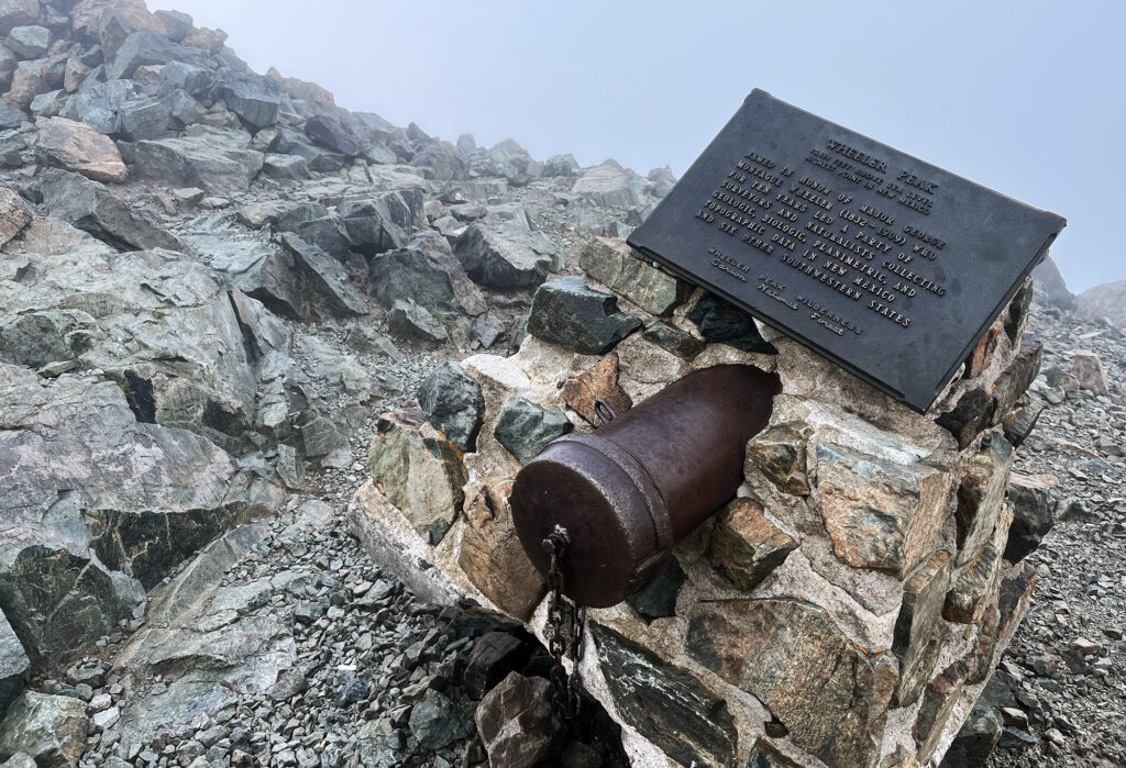
Wheeler Peak
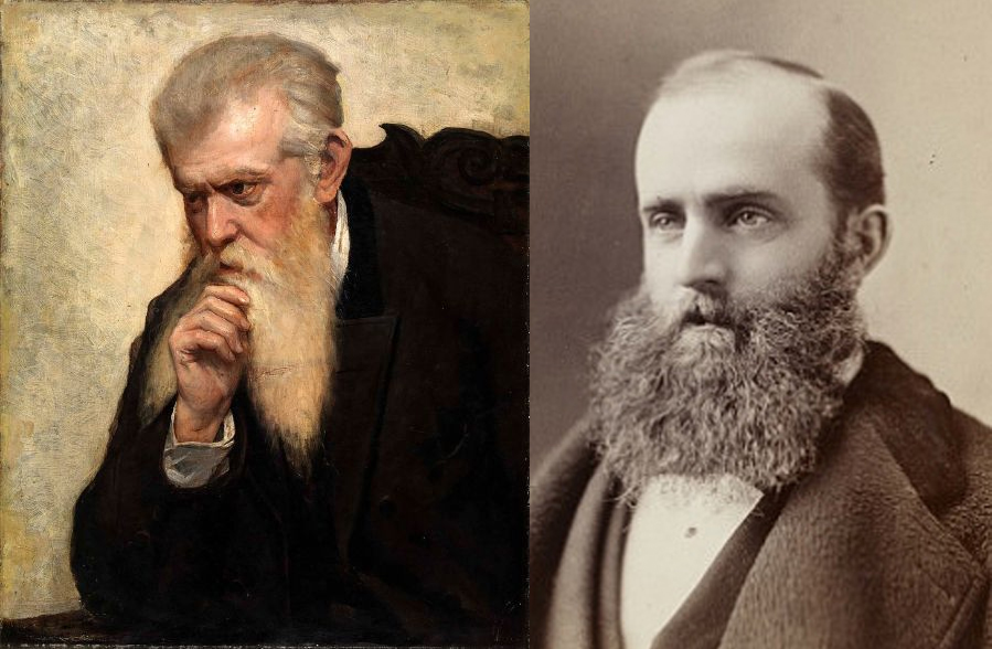
Wheeler Peak takes its name from George Montague Wheeler, who led the famed Wheeler Survey of the United States west of the 100th Meridian (aka the mountain west). Wheeler’s was one of four “great surveys” of the American West in the late 19th Century, and perhaps the most prolific.
He is honored with not one but two of the highest mountains in US States. In addition to Wheeler Peak, New Mexico, there is Wheeler Peak, Nevada. This latter summit also rises above 13,000 feet, and sits within Great Basin, National Park. While Nevada’s Wheeler Peak is indeed the highest independent mountain in that state, it’s not the state’s “highest point.” Instead Boundary Peak, a minor sub-peak of a mountain nearby in California, rises slightly higher. Mount Whitney in California, and Kings Peak in Utah, are also high points named for famed surveyors.
The descent
I lingered atop the summit in the hopes that the clouds would lift. I had a feeling there were some epic views to be had on a “normal” day. And to some extent there was some clearing up, particularly when gusts of winds came through. But ultimately, I decided to descend before getting a true 360 degree panorama.
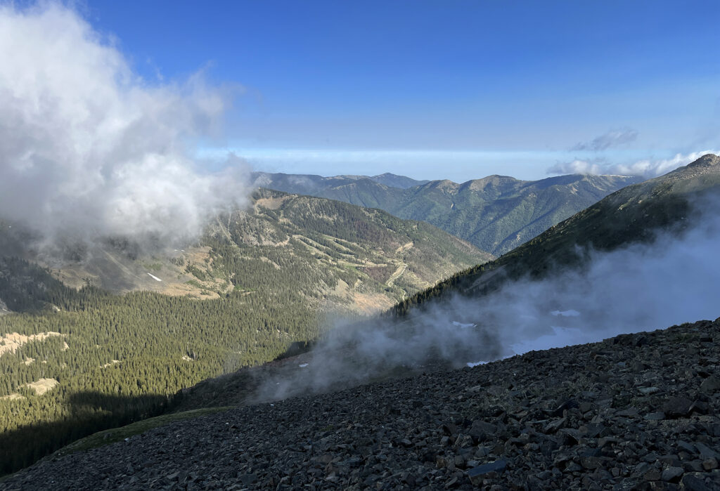
The descent brought me below the wind and moisture, where I was able to regain feeling in my fingers. Thus began the slow and steady march back towards summer weather. While I was slightly bummed about the moisture, it did make for some great photography of a moody June in the Sangres.
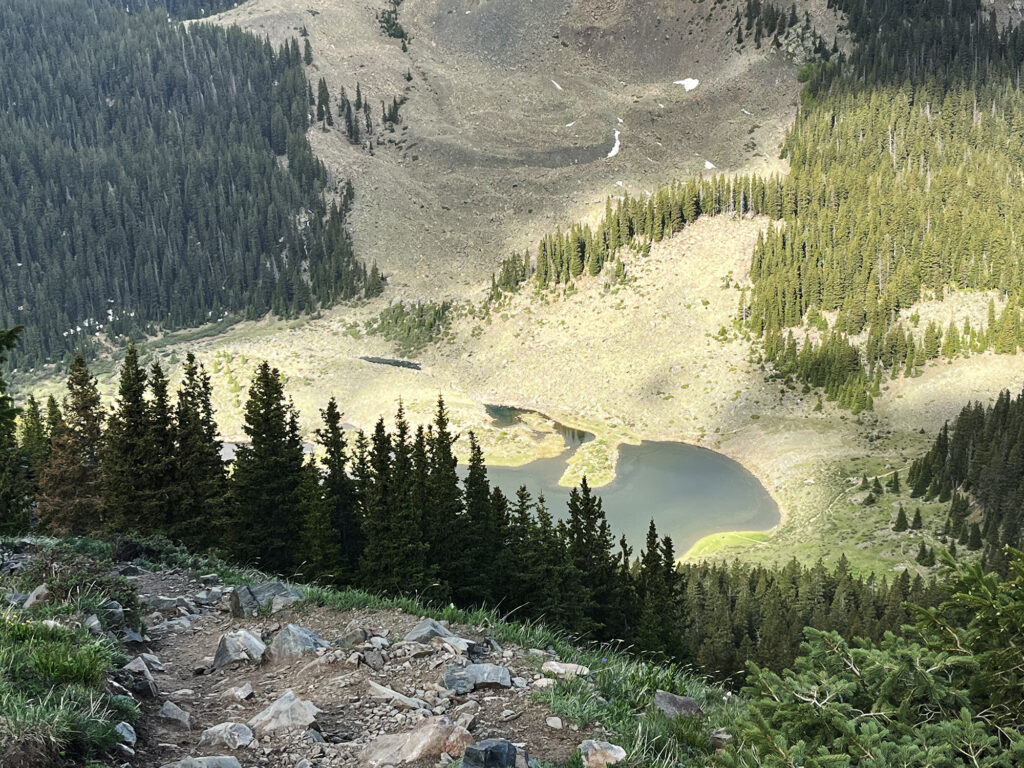
Williams Lake and the Bavarian
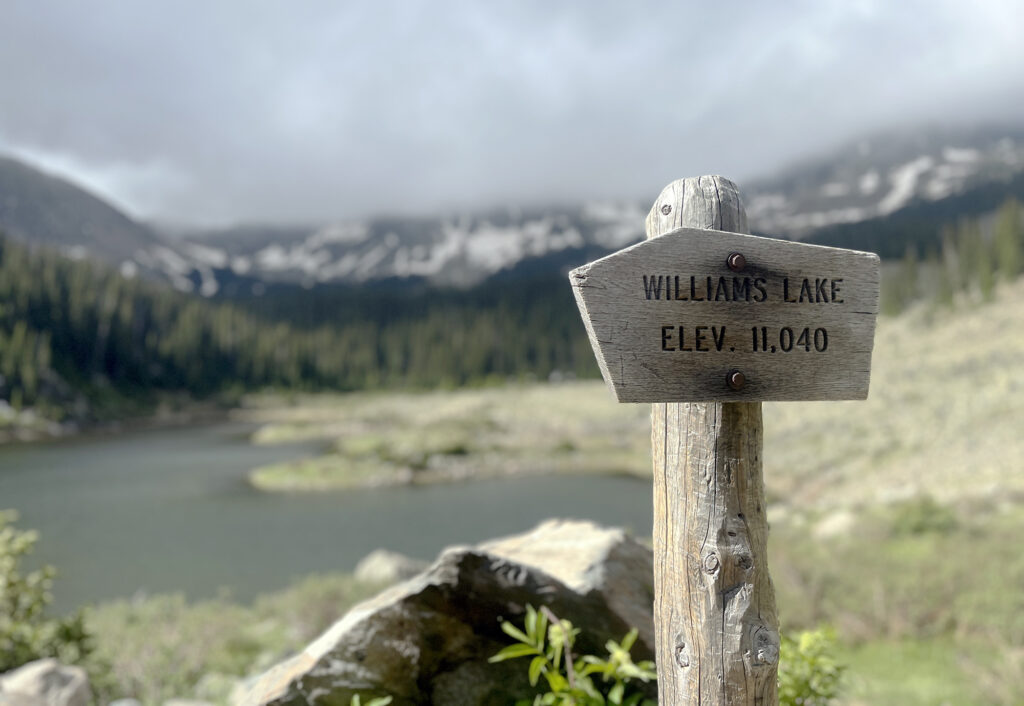
I took a short detour on my way out, to check out Williams Lake. It was a peaceful alpine lake surrounded by a dramatic cirque. Definitely a great hike in its own right. Then it was back down the trail towards Taos.
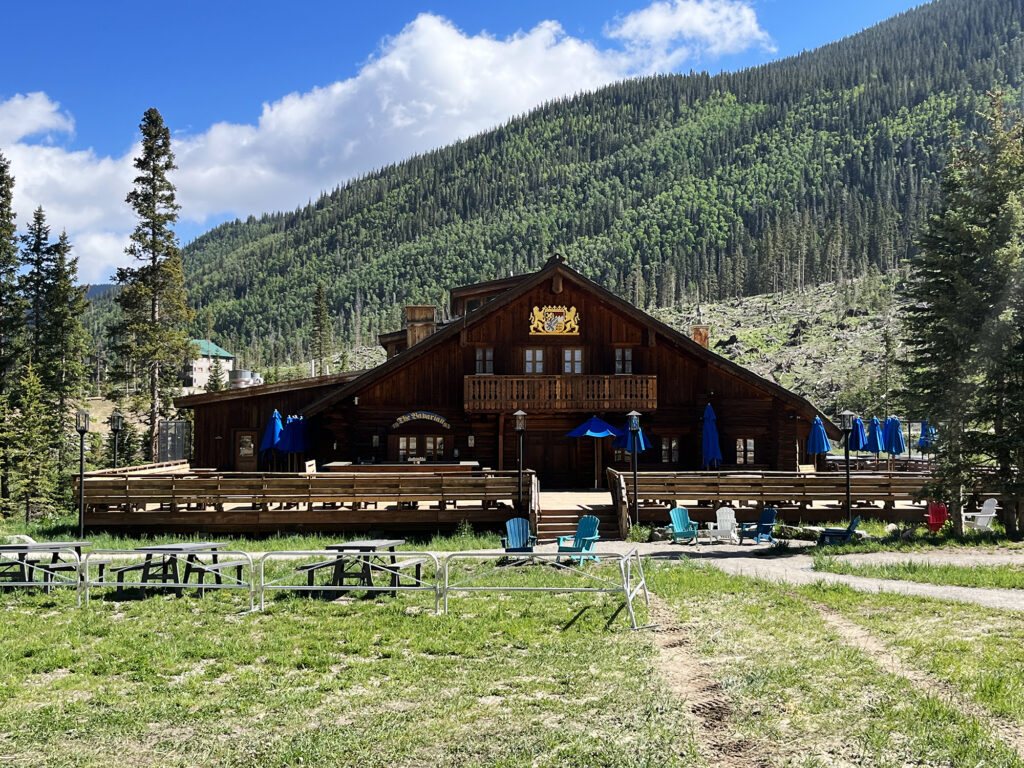
Back at the trailhead, I passed the delightful “Bavarian” restaurant. During peak days in the summer, a delicious german food restaurant operates on its sunny front porch. It’s definitely the perfect ending to a robust hike. Sadly, it was closed on this Wednesday in early June. Taos was only just coming back to life for its summer ops season. Soon enough, there’d be mountain biking and hikers and lots of folks munching away on bratwurst and spaetzle. But for now, all was silent.
Instead I continued down to the main base area, where a tucked away brewery offered up some other great, creekside lunch options. From there, I’d descend down into the town of Taos, proper, to explore it’s incredible art and history. This was a particularly enchanting corner of the Land of Enchantment.
