August 5, 2023
East Yosemite
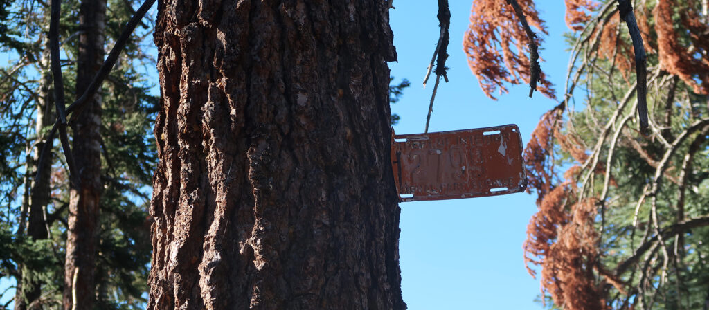
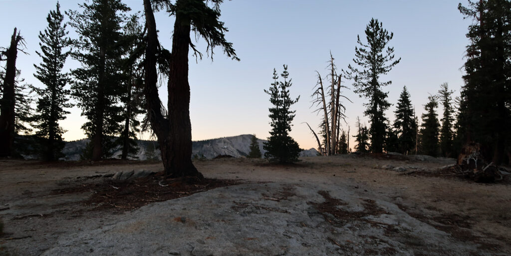
I drove up from Mammoth Lakes. I passed the massive Mono Lake in total darkness, turning off the main road and climbing towards Tioga Pass. Around 5 am I entered the park, passing through Tuolumne Meadows and towards the upper rim of Yosemite Valley. Finally, I arrived at a small dirt parking area, where my hike began.
Yosemite was a last-minute addition to my fun August adventure in Eastern California. I’d hiked the Nevada high point, and skied Mammoth in August. Now, with just a half day before my flight took off in Reno, I decided to pop into the park. I didn’t have time to head all the way down to Yosemite Valley. And on a beautiful August weekend, who knows how crowded that might be. But I did have time for a quick hike.
The View from Above
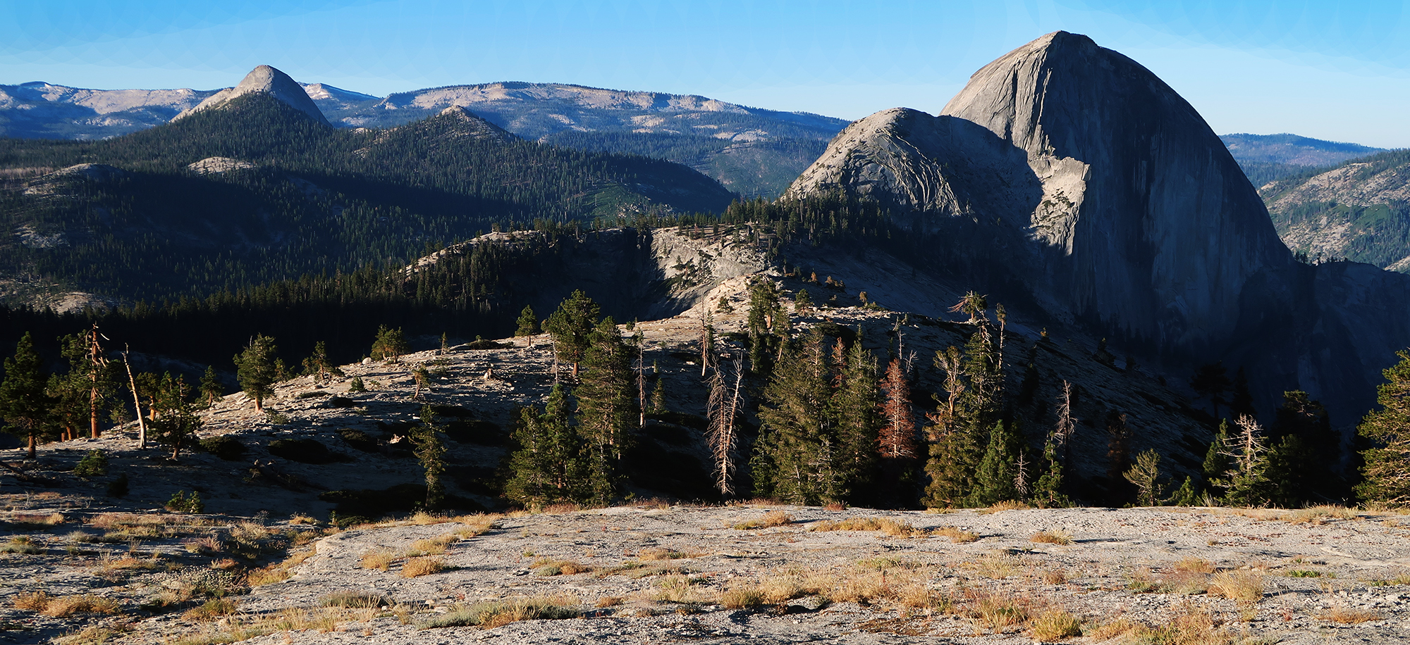
I settled on a Mount Watkins hike because it looked like a moderate adventure with epic views and minimal crowds. The hike runs roughly six miles, with 1000 vertical feet of ascent. That vert comes from a couple ups and downs, and you can reduce it by just stopping at the topmost viewpoint. Your payoff: views of Half Dome and Yosemite Valley from above the fray.
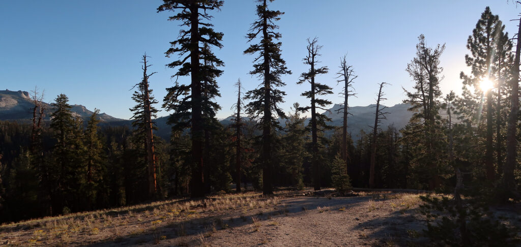
I can’t tell you if the views exceed those from the Valley floor (probably not). But my sunrise hike was devoid of other hikers until I was heading back to the trailhead. And even then, it was just perhaps a dozen other people. So if you find crowds annoying, this may be a great move.
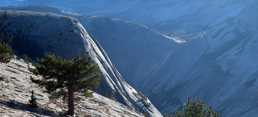
Down and Up and Down
Unlike your typical hike, the route to Mount Watkins starts by heading downhill. You drop roughly 300 vertical feet to a gentle col. You then regain most of that vert before reaching the “summit”. Mount Watkins is not really a mountain per se—just a bump of rock on the edge of Yosemite Valley.
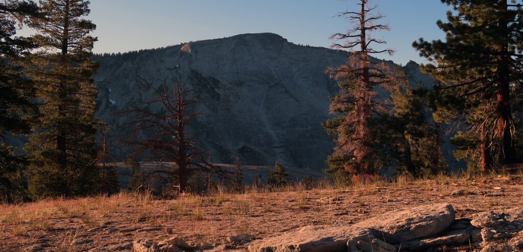
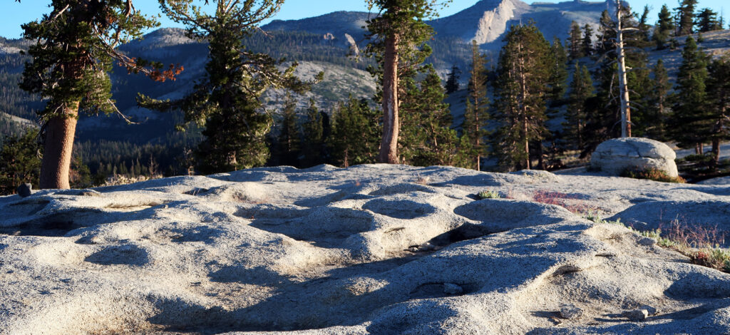
The trail winds through classic, massive, California evergreens (Redwoods?). They thin towards the top, affording stunning views of Clouds Rest and some valley canyons. I saw waterfalls sliding down giant, bare slabs of granite. But the big reveal came at the top.
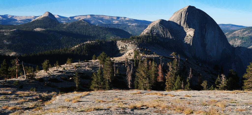
Mount Watkins
I arrived at the broad, rounded “summit”. And looming in the distance was the star of Yosemite’s topography: Half Dome.
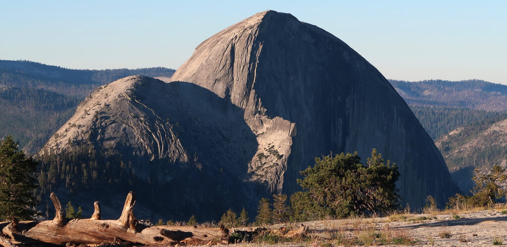
I continued down the opposite side, which grew steeper. It’s your call how far you want to go. But the Valley views get better. The solid rock summit showed signs of centuries of weathering and erosion.
Uphill both ways
The hike to Mount Watkins is totally appropriate for fit families with relatively young kids, or just folks who want a mellow experience. That said be warned: a majority of the uphill hiking takes place after you turn around to go back. It’s just moderate ups and downs both ways.
Soon enough I was back at the trailhead, ready to head back east to Mono County. I was excited to see all the gorgeous views of East Yosemite I missed on the way in. I have no idea how crowded the western park was that morning. But East Yosemite was super chill. I stopped in Tuolumne Meadows to soak in the views. Then it was off to Reno.