September 30, 2023
The Flat Top Mountains
We rolled through the small, sleepy town of Yampa, well before dawn. Already we had drove nearly an hour north from i70, passing only the occasional cabin or ranch. We had 40 minutes of driving left, along a narrow byway into the Flat Tops.
Finally we arrived at Stillwater Reservoir, just as direct light began to hit the tops of the nearby rocky slopes. To call this not-so-small corner of Colorado “isolated” would be an understatement. The Flat Top wilderness sits between Steamboat Springs and Glenwood Springs, with its tallest peak, Flat Top Mountain, almost precisely halfway between the two towns. This is an overly precise way of saying, we were in the middle of nowhere.
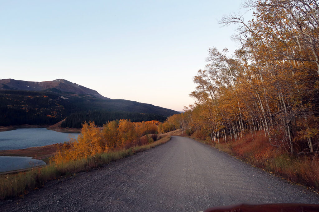
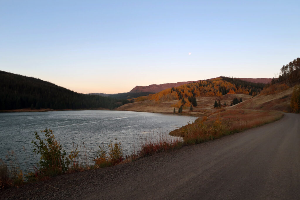
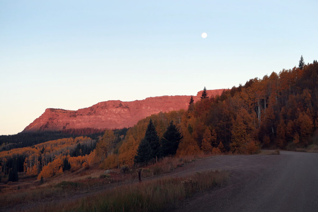
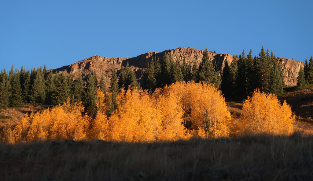
But what a stunning nowhere it was. Dramatic slopes rose on three sides above the placid Stillwater Reservoir. True to their names, the slopes didn’t taper into pyramidal peaks, but instead stopped abruptly, transitioning into gently-angled plateaus. Stands of bright yellow, autumnal aspens grew in patches on southern and sheltered exposures along the lower slopes. A persistent breeze caused them to quake and shimmer. Dare I say the air felt … crisp?
A dissected plateau
In my opinion a good hike is structured somewhat like a good story. The first thing you need is exposition: something to set the scene and tell you “yeah, the drive was definitely worth it”. For the best hikes, that sense of affirmation comes as soon as you pull into the trailhead. And I’m happy to report this Devil’s Causeway hike delivers on exposition.
Wikipedia tells me the Flat Tops are a “dissected plateau” … basically a raised dome area that has been gouged and and excavated by glacial activity. A similar process carved the Allegheny Mountains of Western Pennsylvania and the Catskills of New York. But with its “basaltic cap” of hardened lava, and Colorado’s relatively dry climate, the Flat Tops appear more mesa-like than its more famous Eastern cousins.
Whatever the case, the Flat Tops have a somewhat unique vibe among Colorado’s mountainous landscapes. They are more understated than ranges like the San Juans or Sangres. But there’s a quiet drama present in this area—Colorado’s second-largest wilderness area—that feels incredibly compelling nonetheless.
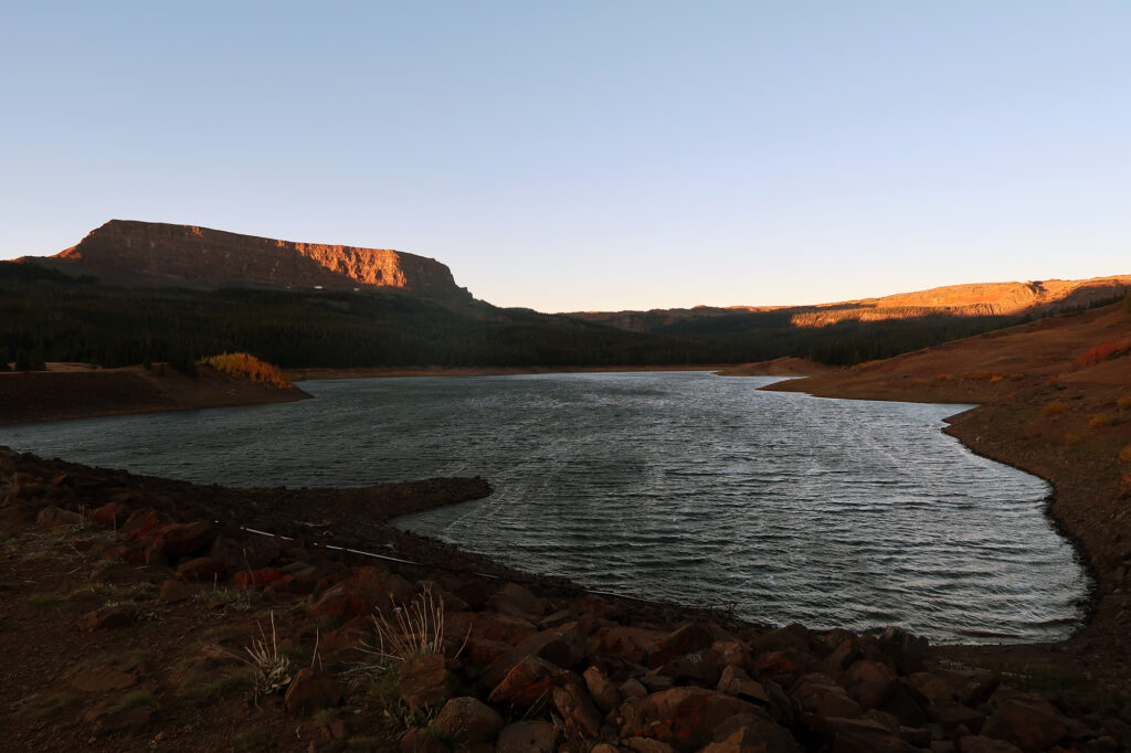
And so we strapped on our packs and began our hike up and onto the plateau opposite Flat Top Mountain, to tackle a narrow ridgeline known as the Devil’s Causeway.
The Ascent to the Devil’s Causeway
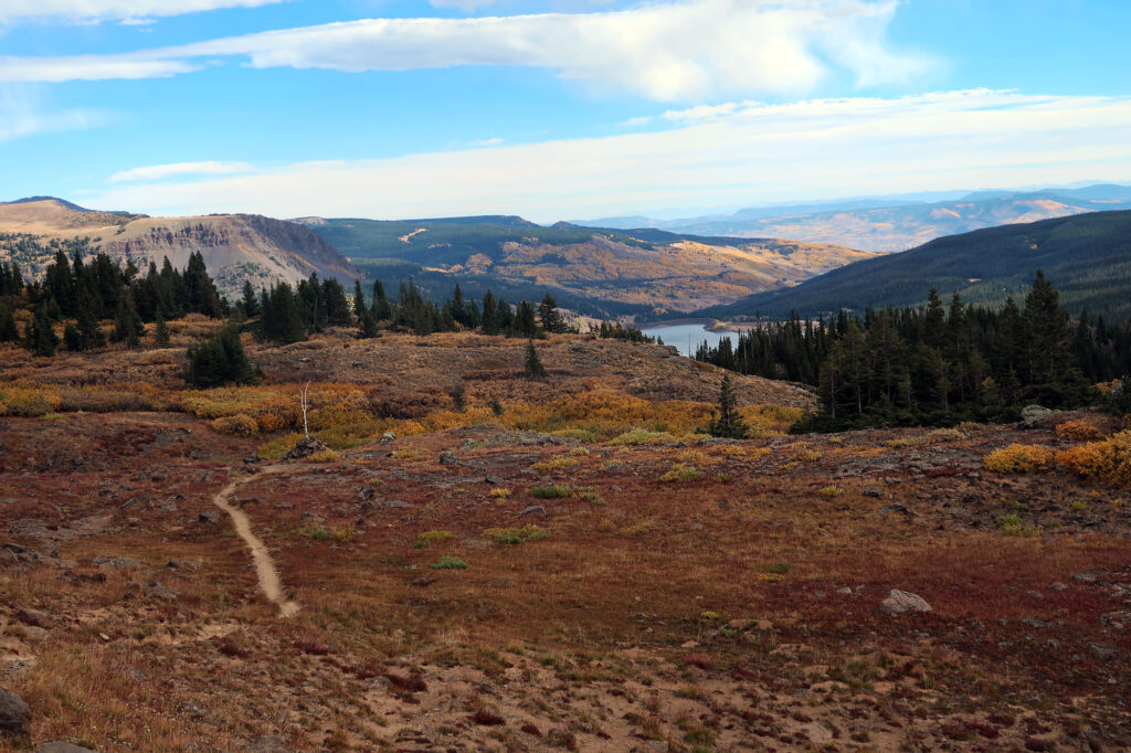
We began our hike along the northern shores of the reservoir. But soon the trail began to climb towards the nearby plateau.
Like a story, the second ingredient to a good hike is conflict. That conflict is nearly always gravity. And so our trail ascended. Though fortunately, it ascended at a very moderate pace. In total we’d climb roughly 1600 vertical feet to reach the Devil’s Causeway, over the course of roughly three miles.
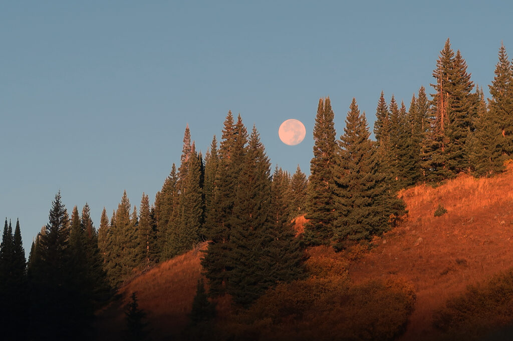
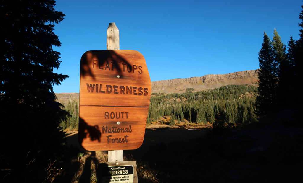
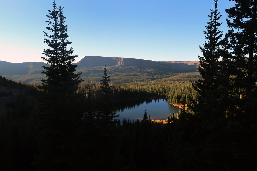
The woods transitioned from primarily aspens to primarily evergreens. And soon we came along a small, rocky lake beneath the steeper upper slopes.
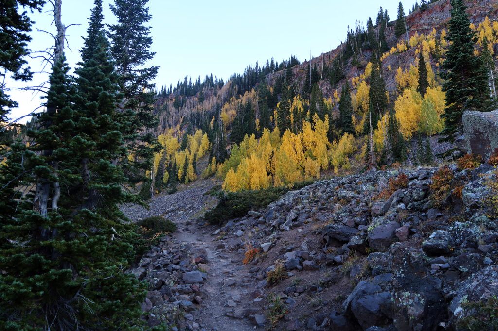
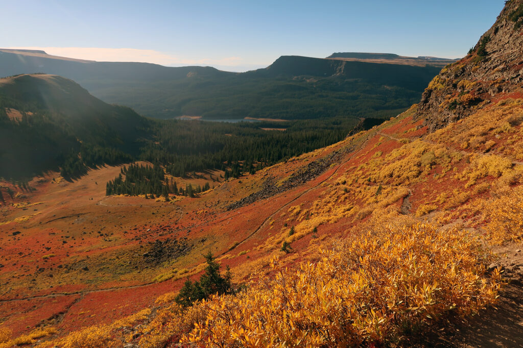
We broke beyond the trees, onto a grassy, alpine hillside. Around this time, we also gained direct sunlight, allowing us to shed some layers and slather on the sunscreen. The trail ramped gently around this bowl, towards the top of the plateau. The slopes were a riot of yellow and orange bushes and shrubs. It was like a pumpkin spiced fever dream.
Onto the Devil’s Causeway
Continuing our strained literary analogy, (mountainous extended metaphor?), a good story next needs a climax. A summit, waterfall, or stunning lake will obviously do just fine. And true to form, this hike indeed featured sweeping views from its “summit”.
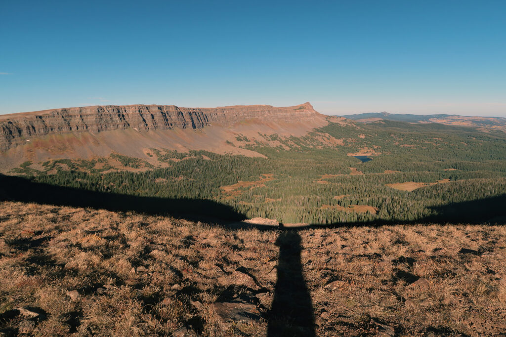
But the best hikes feature a climax that brings the conflict to a head. A moment where our heroes are put to the test, both physically and mentally. And so we came to the Devil’s Causeway itself.
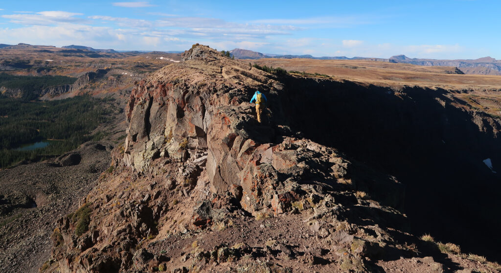
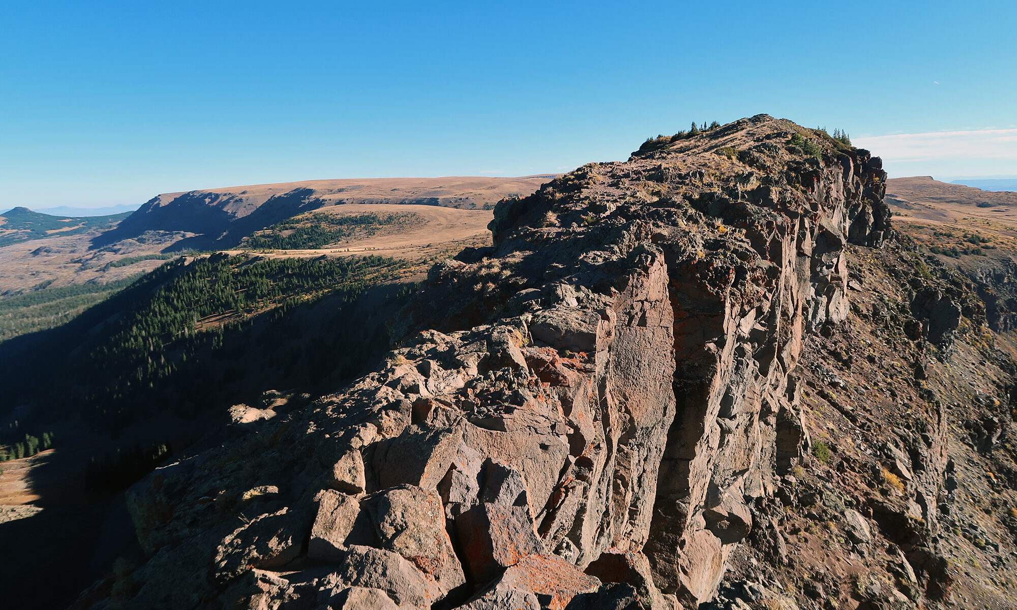
To both the north and south of the plateau upon which we stood, ancient alpine glaciers had carved steep, u-shaped valleys. Those valleys have almost combined at this point. The Devil’s Causeway represents the razor-thin last remnant of the high plateau between them. At this point it’s just four feet wide at its narrowest. That’s plenty of width to avoid any true dangerous exposure. But it’s thin enough for all but the most jaded adventurers to get a sense of the geological serendipity of this moment in time for the Causeway. We are here to witness the final moments of its existence before the irreversible severance of one plateau into two.
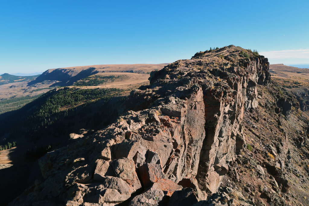
Don’t be too intimidated by these photos of the Causeway. I’m happy to report this is one of those hikes whose bark is way worse than its bite. Most experienced hikes will feel comfortable walking upright across the relatively flat and wide path. The ground is definitely a bit uneven, but it’s hardly talus or scree. Some folks will feel the need to stoop down and engage their hands with the rocks. As always your mileage may vary. But this is a relatively safe trail for families, dogs, and ambulators of most shapes and sizes.
A High Lonesome Stroll
You could turn around, re-do the causeway, and then descend the way you came. This would amount to a nice six mile out-and-back. But the trail onward eventually does loop back, down off the plateau, and along the reservoir back the trailhead, forming a nice 11-mile loop.
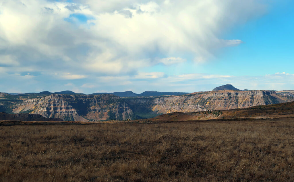
And so we continued on down the subtly-sloped plateau. The mountaintop widened into a broad, grassy plain. Taller peaks rose far to the west in the distance. And dramatic clouds began to roll onto these highest of high plains. We were entirely alone, and there was a beautiful melancholy to the scene.
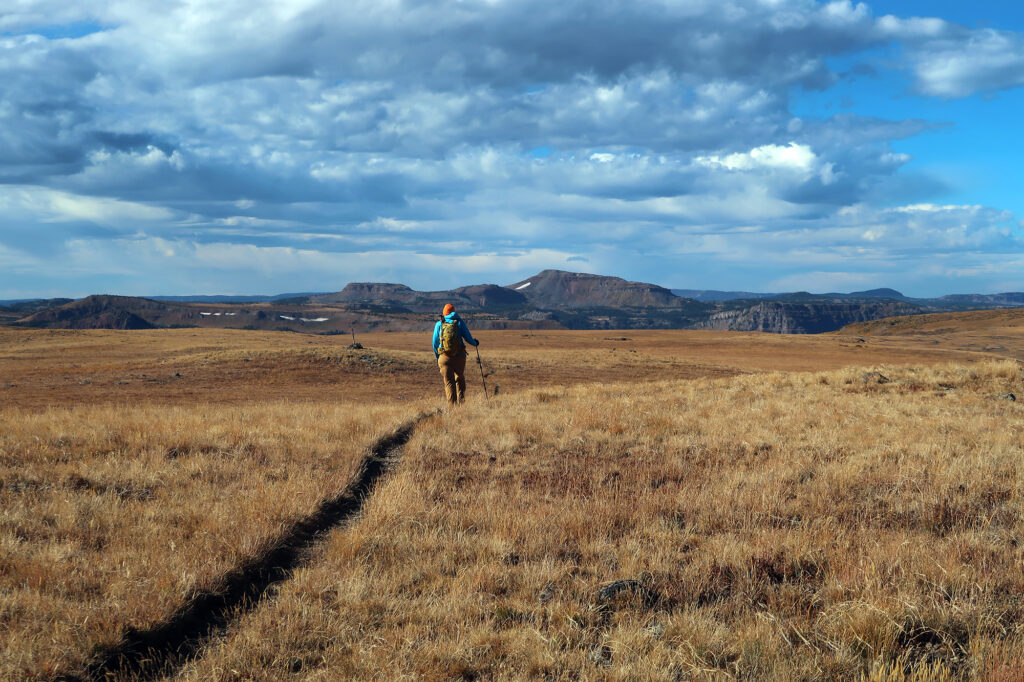
Gaining the ridge and crossing the causeway, we did the majority of this hike’s vert: 1600 of 1800 feet. But in terms of mileage, we were only a bit more than a quarter of the way along. And so we continued, for the better part an hour, southwest-turning-south along the plateau.
We paused eventually for a lunch break, sitting with our backs against a rock cairn. There were no trees or boulders up here. The day was sunny and warm by late September standards. But we were exposed, at 11,500 feet, with steady prevailing winds from the west. So we sat bundled up in our hats and gloves.
The descent
Soon enough, the trail dropped off the plateau and back towards the reservoir. The bushes and trees grew taller as we descended. And Stillwater Reservoir came back into view—our story’s inevitable resolution. But we were still miles from the trailhead, in a serene wilderness on a gorgeous fall day. And that suited us just fine.
