August 9, 2024
An Ancient Range
I flew into St Louis the night before, driving about 90 minutes south to work from a library in a small town in Southeastern Missouri. At 5pm I logged off and headed West, into the nearby St Francois Mountains of the Eastern Ozarks.
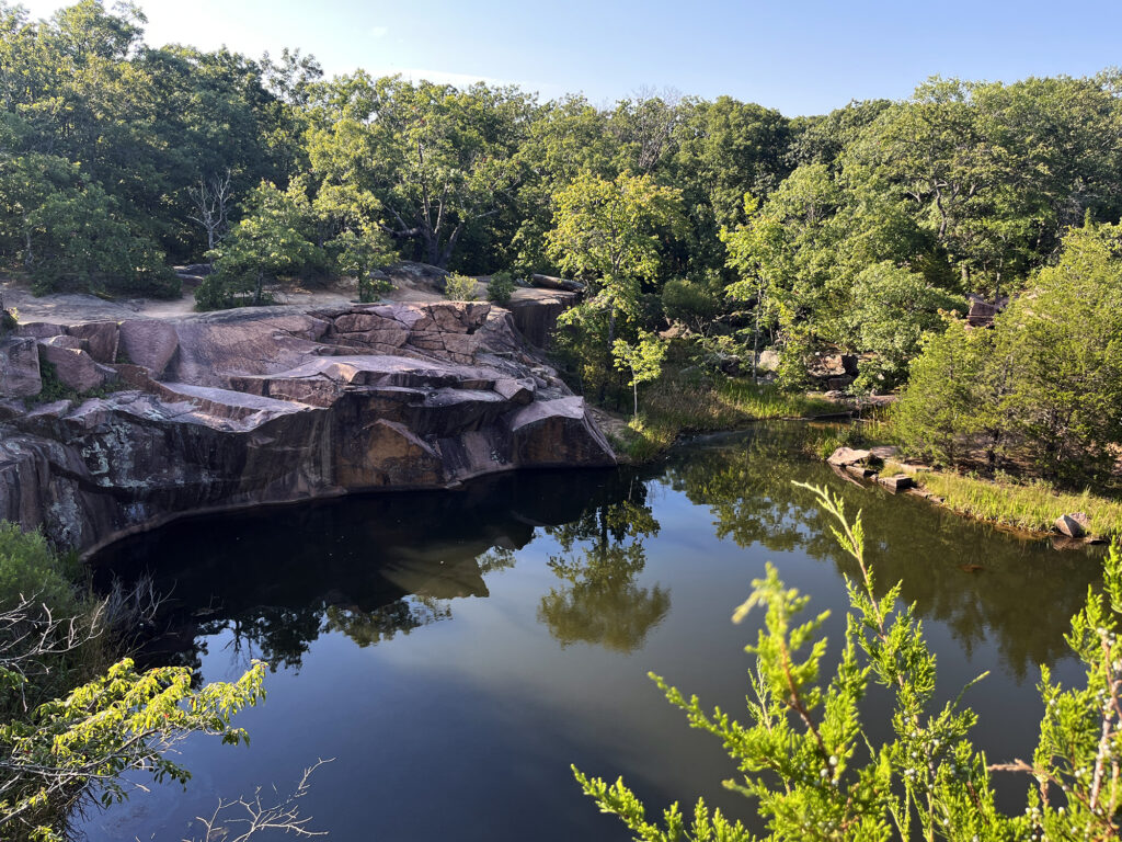
I came to this corner of the Midwest to visit Taum Sauk Mountain—Missouri’s highest natural point. But first I took a detour to Elephant Rocks State Park, to get a proper appreciation for the region’s unique geology.
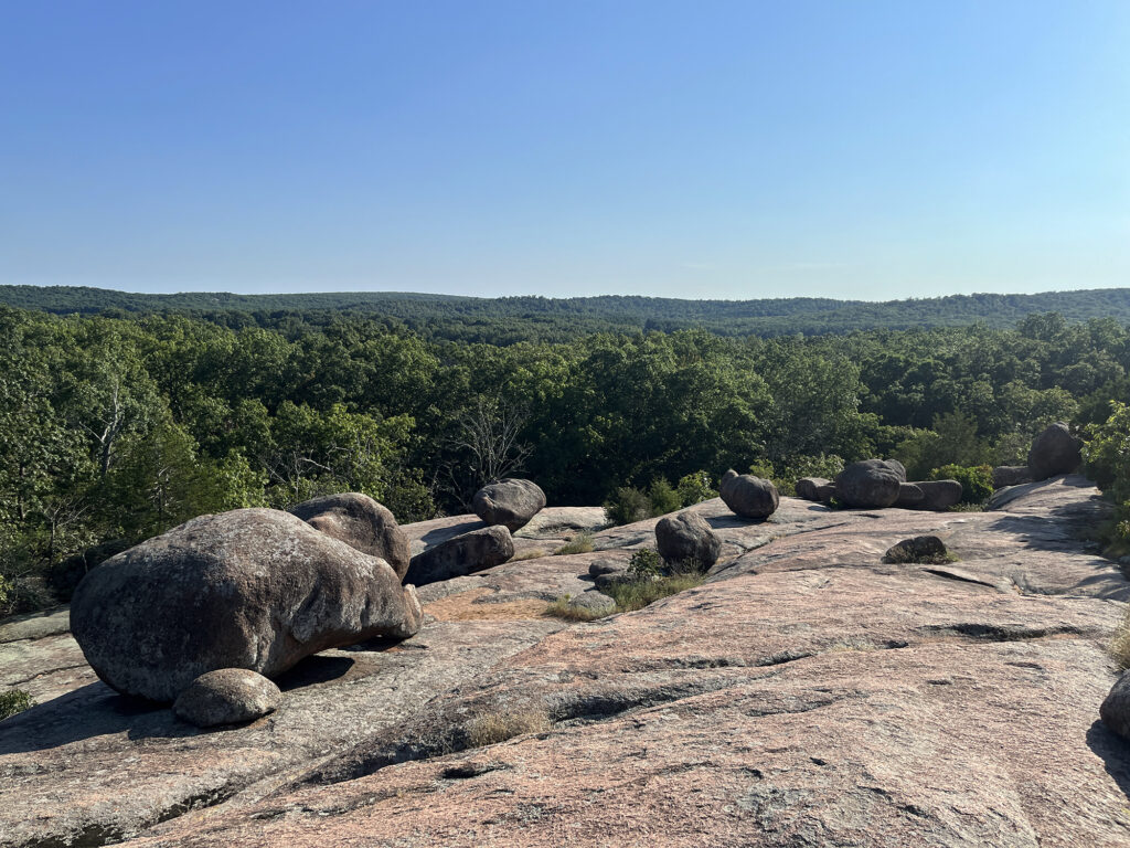
The St Francois Mountains are old. Very, very old. They formed during a period of volcanic activity 1.5 billion years ago, leaving behind some of the oldest exposed igneous rocks in North America. The St Francois Range is, in fact, roughly three times as old as the Appalachians (roughly 500 Million years). The range is nearly four-times as old as trees. It has been around at least 18 times as long as the Rocky Mountains.
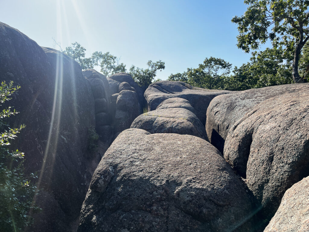
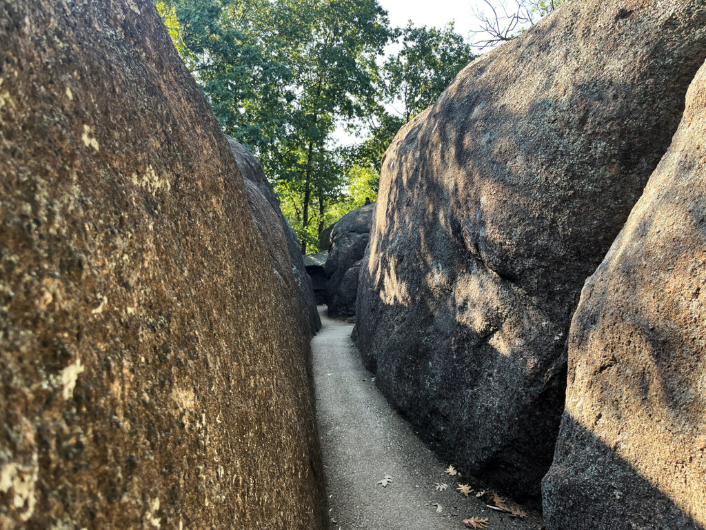
Elephant Rocks is a small natural area that lets you get up close and personal with these ancient rocks. And so I scrambled about its granite slopes, weaving between boulders and weathered crevices.
Taum Sauk Mountain
After wandering about Elephant Rocks, I drove a short ways to Taum Sauk Mountain, the state high point itself. Taum Sauk and the St Francois Mountains sit within the broader Ozarks, a plateau/mountain range extending throughout Southern Missouri, Northern Arkansas, and bits of Oklahoma. Most of the Ozarks are a “dissected plateau” … basically a high area of land slowly eroded into have slopes and valleys and topography. But the the St Francois Mountains are unique in the Ozarks, formed via volcanism and uplift.
I arrived at the rather large (and deserted) parking area for Taum Sauk Mountain. The parking sits basically near the “summit,” though the mountains here are so broad and gentle (and forested) you’d have no idea you were on top of a mountain.
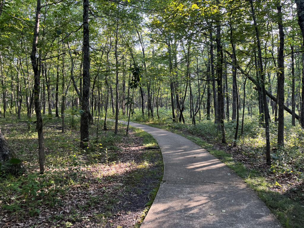
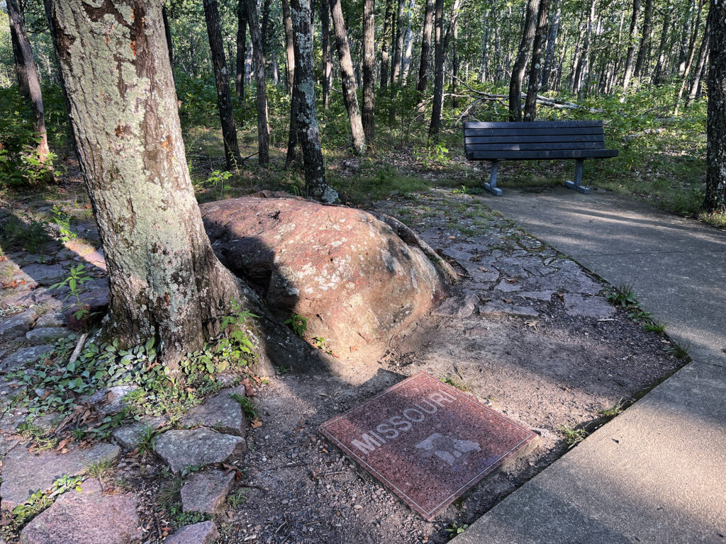
From there it was a very short walk, along a paved sidewalk through the woods, to the high point. The spot itself was marked with some of the standard state high point accoutrements. There was a polished granite plaque, a bench, and a registry.
“Taum Sauk” is an Osage Indian name, an homage to the earlier inhabitants of the region. Its original meaning is unknown, though it may refer to an Osage Chief.
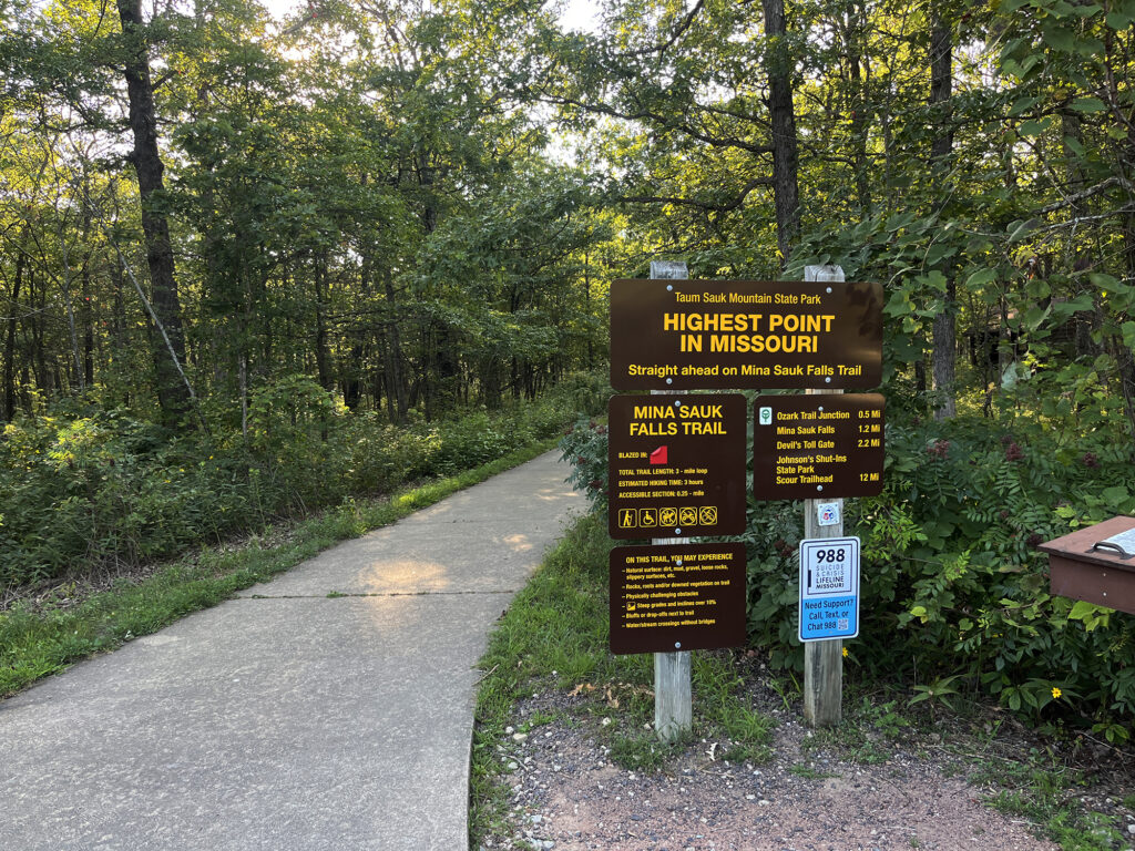
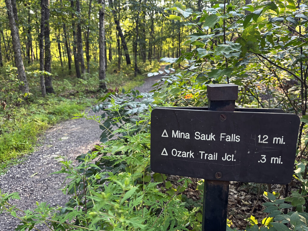
Mina Sauk Falls Trail
On my mission to summit all 50 state high points, there are some rules. One rule: I need to hike from a reasonable “base” of the mountain. States like Missouri and Pennsylvania kind of stretch the limits of this idea. They are more broad, flat bumps in the landscape than they are cuspy mountains.
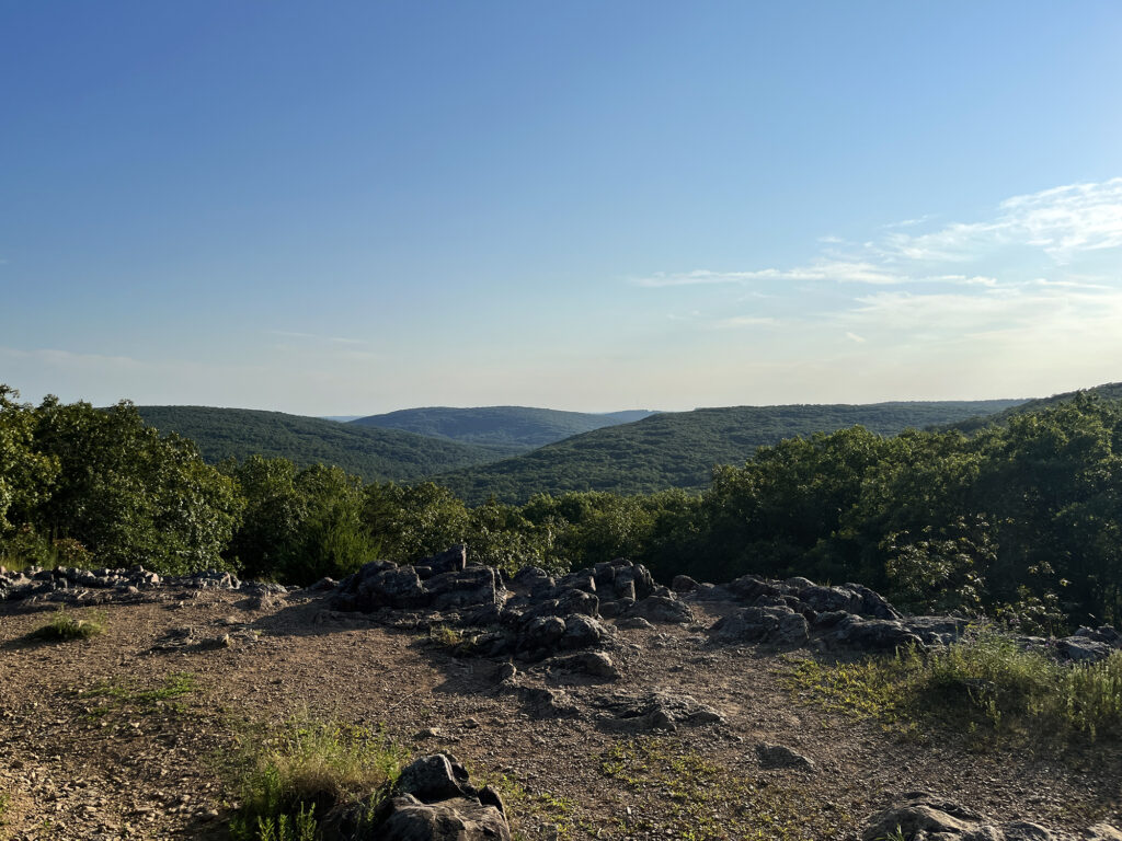
And so a compromise: after my brief stroll to the high point, I’d enjoy a robust hike around the mountain, on a trail to Mina Sauk Falls. The 3.5-mile loop falls, then rises, about 450 vertical feet. And it provides about an hour of forest bathing and scenic views amidst the oldest mountains in America.
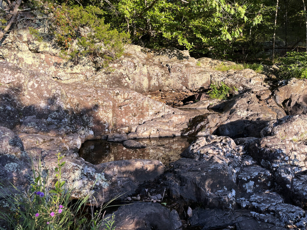
Now, sadly the falls were dry as a bone as of August 2024. But the trail was still a lovely hike.
Taum Sauk Mountain’s Firetower
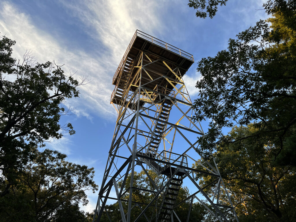
Driving into the area, a noticed a massive firetower near Taum Sauk’s summit. So on the way out, I stopped to check it out. It was unlikely I’d ever be back in southeastern Missouri, so why not get the most bang for my buck? The tower’s stairwell was open to climb, though the summit cab remained locked off. From the top I caught a gorgeous sunset over the Ozarks.
Then it was time for a long drive into the Mark Twain National Forest at dusk. I had one more high point to summit on my brief journey into the Ozarks. And in between, I couldn’t help but swing by Silver Dollar City in southwestern Missouri.
