July 28, 2024
Arrival
Around 6:30 am in late July I arrived at the trailhead of Quandary Peak. This is generally a really stupid idea, as Quandary requires a shuttle reservation and a tolerance for throngs of hikers. But my destination was a trailhead at the end of McCullough Gulch Road that apparently still allowed free parking. And so I trundled along the dirt road, past the crowds, and towards the opposite end of the gulch.
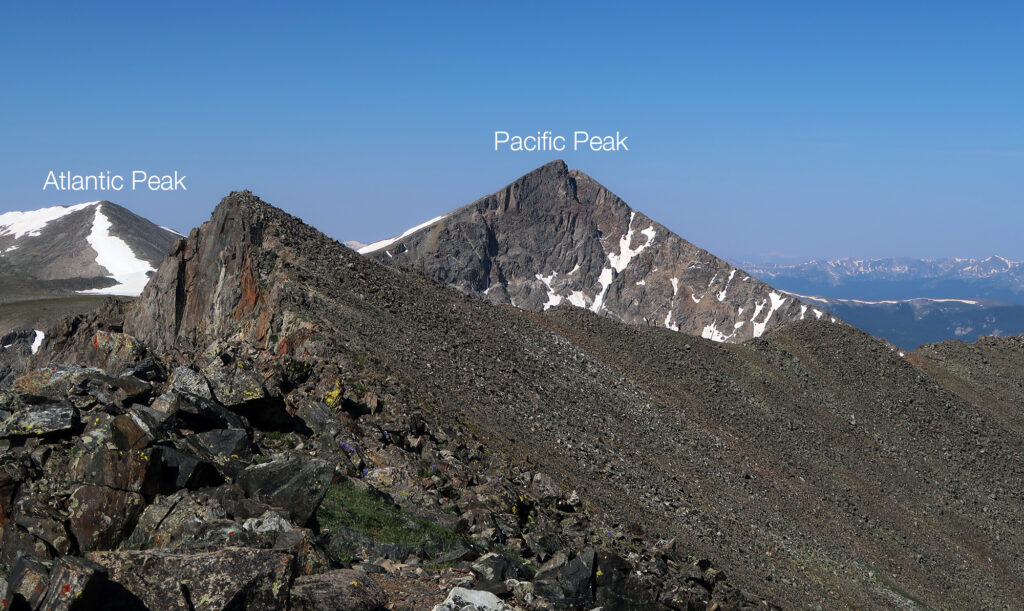
I arrived to find just one other car present. This was going to be a rather solitary hike! The target was nearby Atlantic and Pacific Peaks, two of Colorado’s Centennial Peaks (100 tallest). I’d be getting up to the summits via Pacific Peak’s East Ridge approach, a somewhat gentle scramble.
A lot went wrong on this adventure. I mean, nothing horrible or catastrophic. But plenty of SNAFUs. I did not ultimately summit either Atlantic nor Pacific Peaks. Those would wait for another day. Nor did I visit Pacific Tarn—America’s highest named lake. But once again I’m getting ahead of myself.
Bushwacking
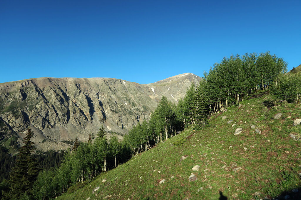
I’ve followed plenty of herd paths and navigated plenty of talus fields on my adventures. But I don’t think I’d ever before done a route that had essentially zero trail, from parking to high ridgeline. But that was Pacific Peak’s East Ridge. And so, right away, I scrambled up some rocky cliffs and into a thick stand of Aspens. According to my intel from 14ers.com it was just a quick ascent through the trees to an open grassy ridge. And from there: just up.
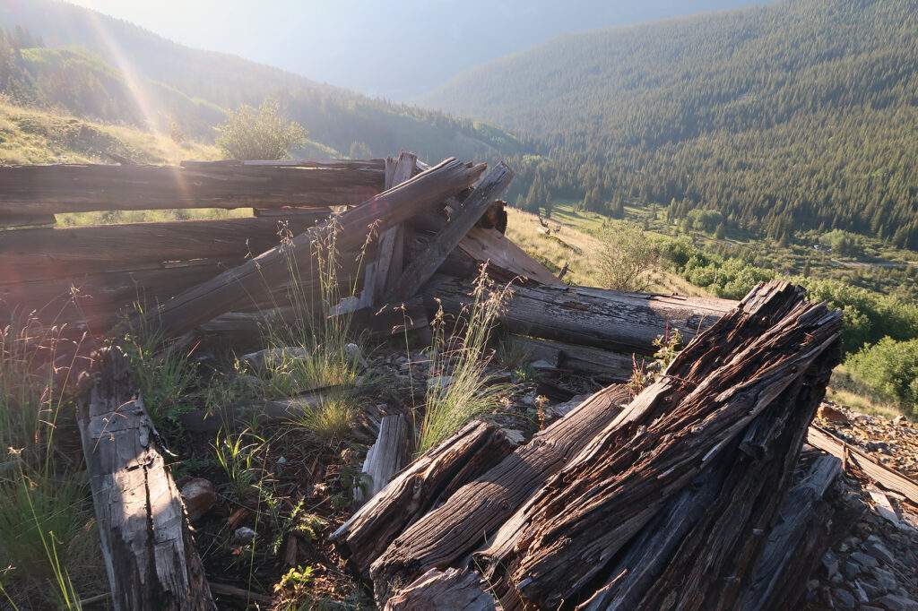
Soon I broke out into the promised open, grassy ridge. I passed some ramshackle mining structures—typical of the greater Breckenridge area. While I couldn’t see too far beyond, it was very easy to tell where the ridge led. So I got to hiking it.
Very soon I reached a flat section full of “willows” … not the weepy trees of Mr Toad fame, but rather the low-lying bushes of marshy alpine areas in Colorado. Apparently they are genetically similar, in the same way shrub oaks (also found in Colorado) are somehow the same-ish as oak trees.
I tramped along into the Willows, debating how best to approach a rather steep and intimidating grass slope ahead of me. Then came the first big surprise of this adventure.
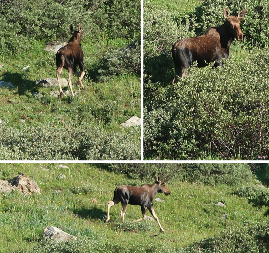
A startled cervid
Just as I began to descend into the willows, they began to move. Suddenly ears appeared. Then a head. It rose higher, and higher at a rapid pace. Holy crap! I thought. I was perhaps 20 feet away from a very startled, and suddenly very panicked moose.
Very lucky for me, the female moose chose flight over fight. It bounded away up the hill. I managed to snap some pics of it only as it moved further away. Then it stood, staring me down. We both stood there for probably 5 or 10 minutes. I just wanted to keep going up the ridge. It clearly just wanted me to turn around and go away.
Eventually I did back away. Slowly and carefully, until I was out of sight below the ridge. Then I waited perhaps 20 minutes, before heading back up to continue. Luckily, by then, it had moved on somewhere else.
Onto the Ridge
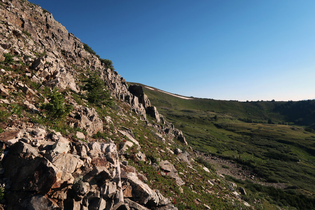
I tramped up the steeper and steeper grass slope, until it thankfully morphed into something more rocky and sturdy. Then I scrambled up some ledges onto a gentler pitched grassy ridge. This would last for some ways before reaching a more proper, rocky ridge.
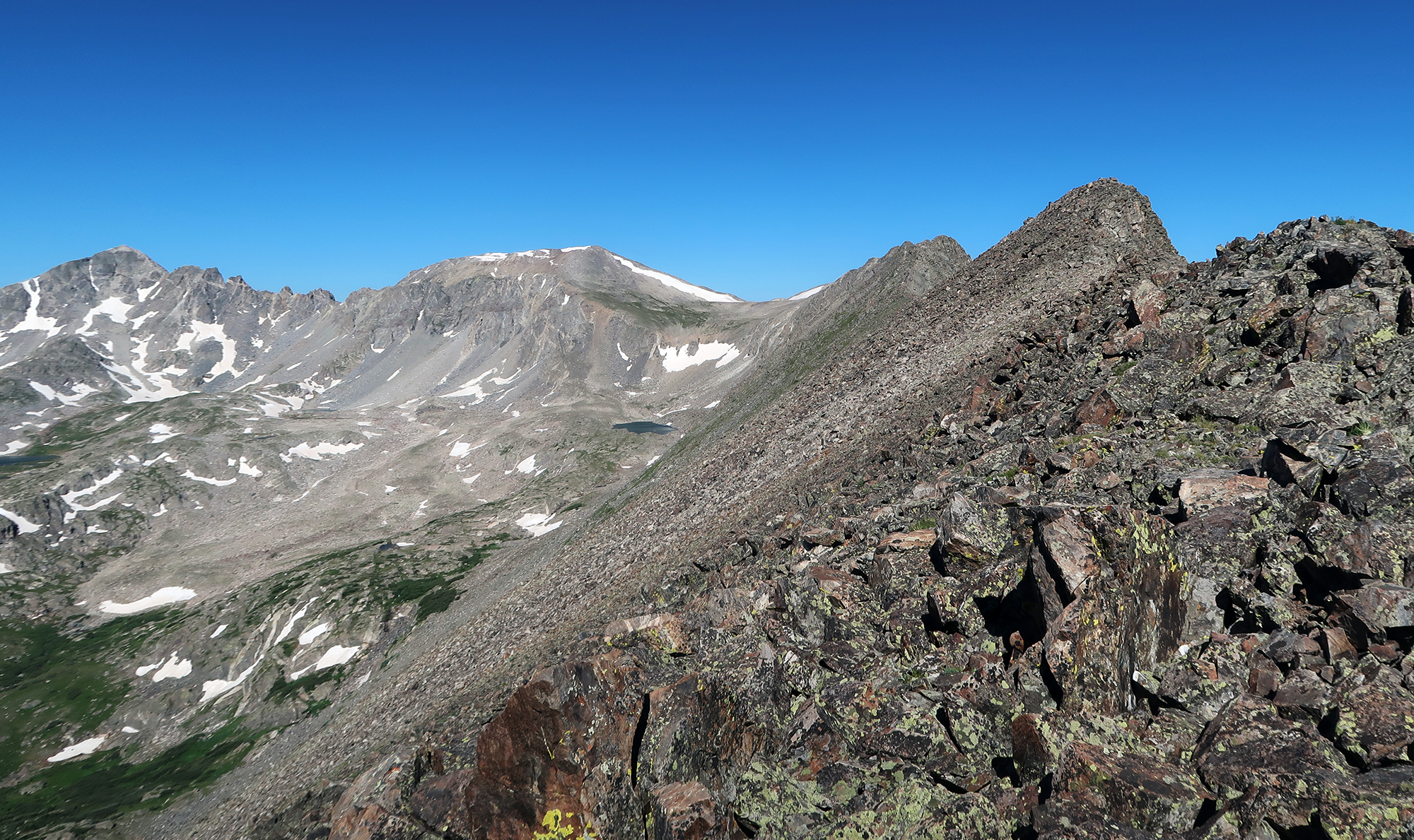
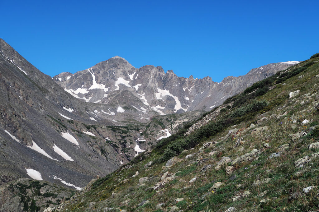
Ahead to the West, the summits of the crest of the Ten Mile Range came into view. My intended route would dump me out near Pacific Tarn, from which I could easily bag Atlantic and Pacific Peaks. Then I planned to follow a more straightforward “difficult class II” descent back into McCullough Gulch.
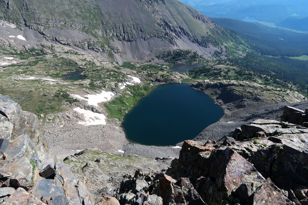
Routefinding and Scrambling
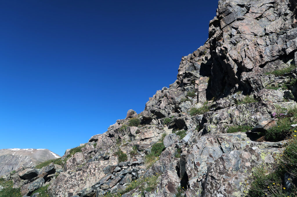
14ers ranks Pacific Peak’s East Ridge as “Easy Class 3” meaning some moderate scrambling. But what made it a bit of a progression for me is there is also considerable “route finding”. This means there was rarely an obviously trail or path to follow. You just have to consider your options and rely on advice from the websites and other climbers.
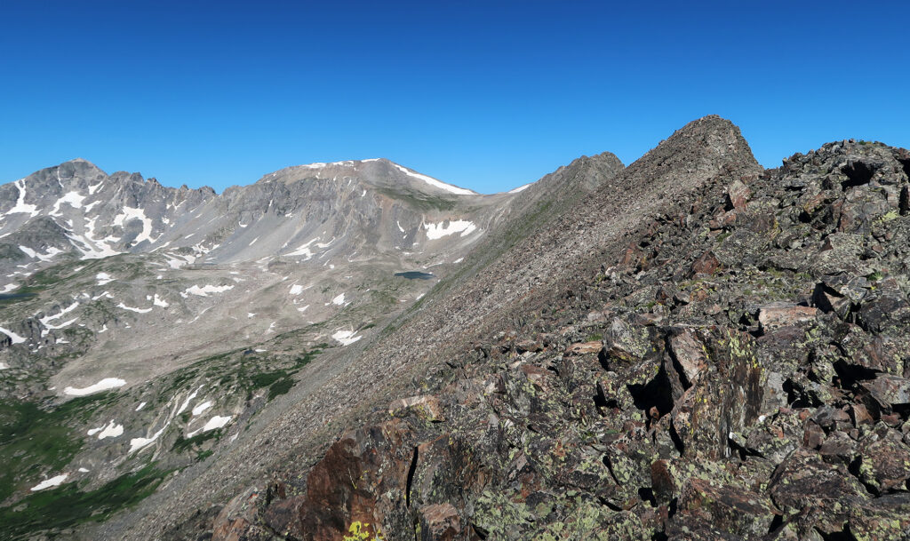
And, as I discovered, it’s a relatively long ridge route. You spend about 1.5 miles on a relatively narrow ridge between the grassy ascent at the tarn. And while it’s never super technical, you’re always in that “hmmm left, right or straight?” decision-making mode. Stay high? Traverse low? Grass or boulder? Ledge or scree?
It was all kind of exhausting. About halfway along, I noticed a pair of other hikers back at the start of the ridge. That gave me a sense of relief. It’s a lot safer not to be alone up on a mountain. The hundreds of climbers a mile away on Quandary were definitely out of shouting distance.
Turning Around
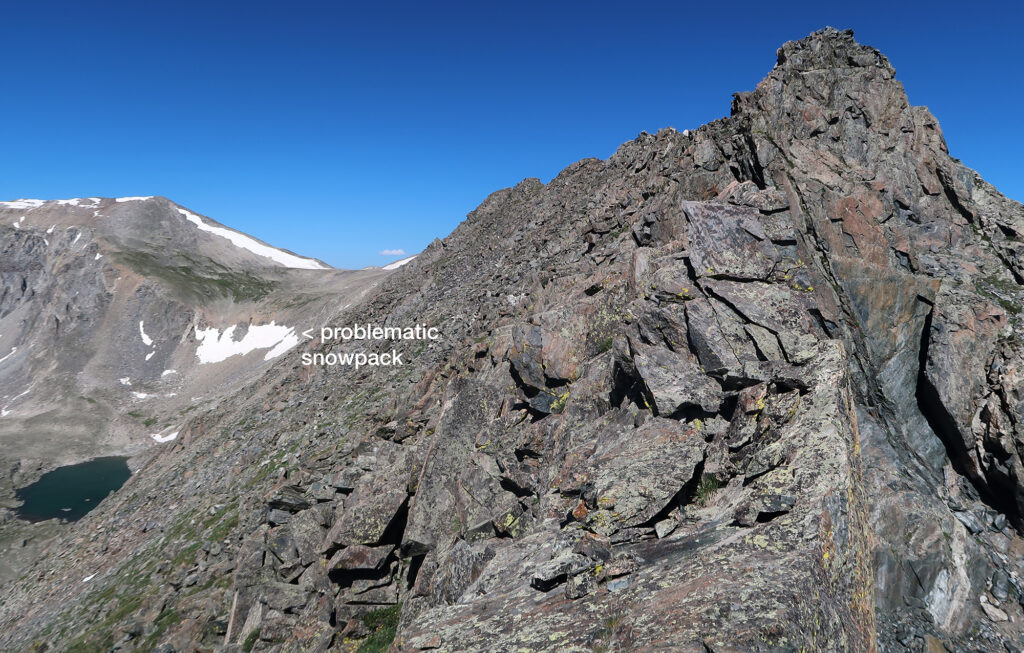
As I was nearing the high point of the ridge—still at least a half mile away from its end—my heart sank. I noticed clearly for the first time that my planned descent route still had plenty of snowpack. I had checked satellite images from the week prior. But some poorly-placed clouds had covered only the parts still snowbound, so I’d decided to leave the ice axe at home. I now had a choice: take my chances on steep snow sans traction, or plan to come back over the scramble.
I decided to just turn around at the apex of the scramble. The summits could wait for another day when I was better prepared. Besides, I still needed enough energy to potentially bolt away from that mangy moose.
Luckily for me, the descent went smoothly. I made it back to the car without any tumbling or trampling. I trundled back out to the main roadway, and then sped off back home. Atlantic and Pacific Peaks would just need to wait for another day.
