July 4, 2024
Andean Roads
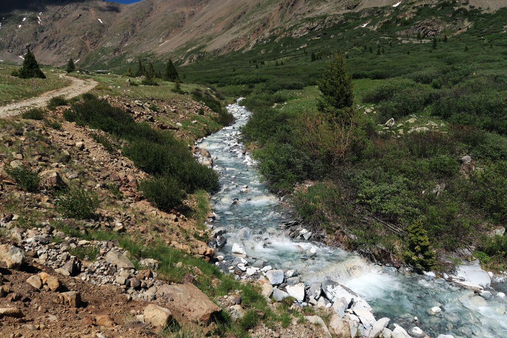
We pulled off the paved roadway to Montezuma, en route to the Argentine Pass trailhead. The car trundled along the dusty and rutted Peru Creek Road, hewing closely to the eponymous Peru Creek. It was only 7:30 am or so, but the sun already sat high in the sky, shining through endless stands of Aspens. It was that wonderful period of early summer where the days seemed to last forever.
The drive proved relatively smooth and uneventful. You never know what you’re going to get with these roads 14ers.com describes as “easy 4WD“. To me, this seemed like one of the benign ones.
Montezuma. Peru Creek. Argentine Pass. It seemed like everything in this tiny corner of Colorado (near Keystone) has some Latin American-sounding name—largely a reflection of its mining history. For what it’s worth, argentum means silver in Latin.
Before long we arrived at the trailhead, helpfully located just above 11,000 feet. Even with this high of a trailhead, we’d still have about 3000 vertical feet of climbing ahead of us.
We strapped on our packs, and began further up the main road, past a gate. Right away we passed some picturesque relics of the basin’s mining era.
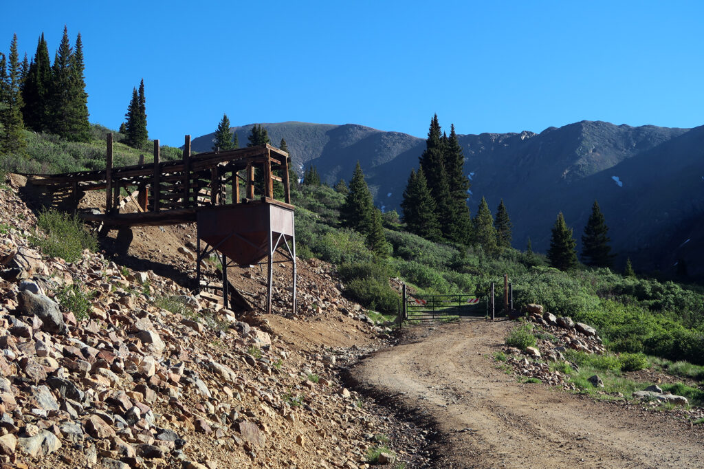
Onto the Argentine Pass Trail
Shortly beyond the gate, the route to Argentine Pass and Mount Edwards pulls off the dirt road, becoming a lovely single track trail through the bushes. We crossed Peru Creek and then began the slow and grinding ascent out of the basin.
The entire route to Mount Edwards sticks to the (in)famous Continental Divide Trail. Like the Pacific Crest Trail, the CDT runs from Mexico to Canada, but runs along the Great Divide in the Rockies, rather than the Sierras/Cascades. Sure enough, we’d run into at least one thru hiker on our day hike. Mount Edwards sits within a couple miles of Grays Peak, the highest point on both the CDT and the continental divide itself.
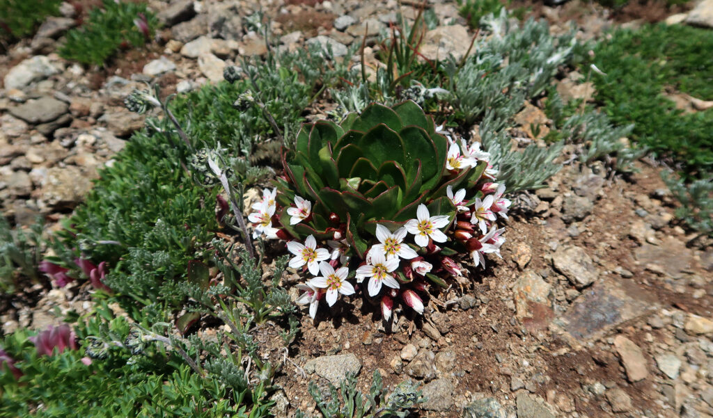
The lower sections of our route featured ample greenery and some of the spectacular early summer wildflowers the Colorado Rockies are known for.
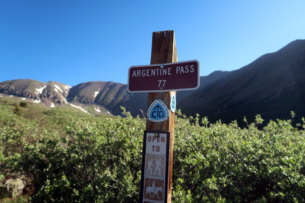
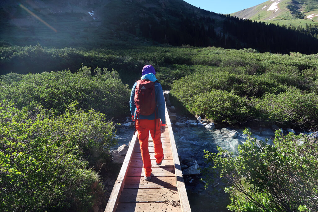
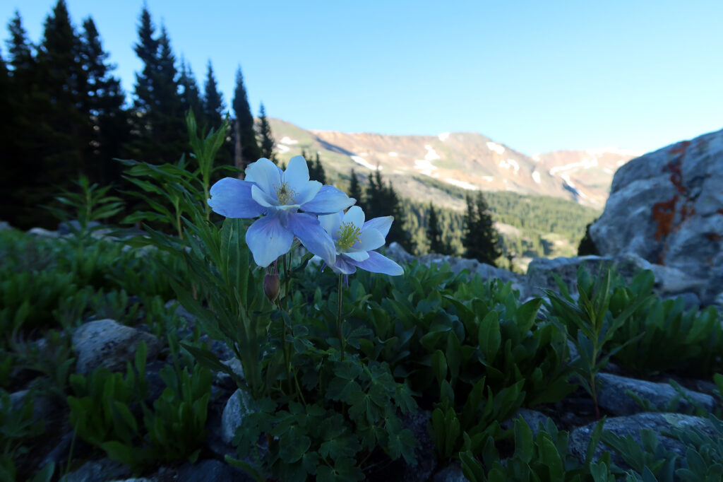
Heading Up
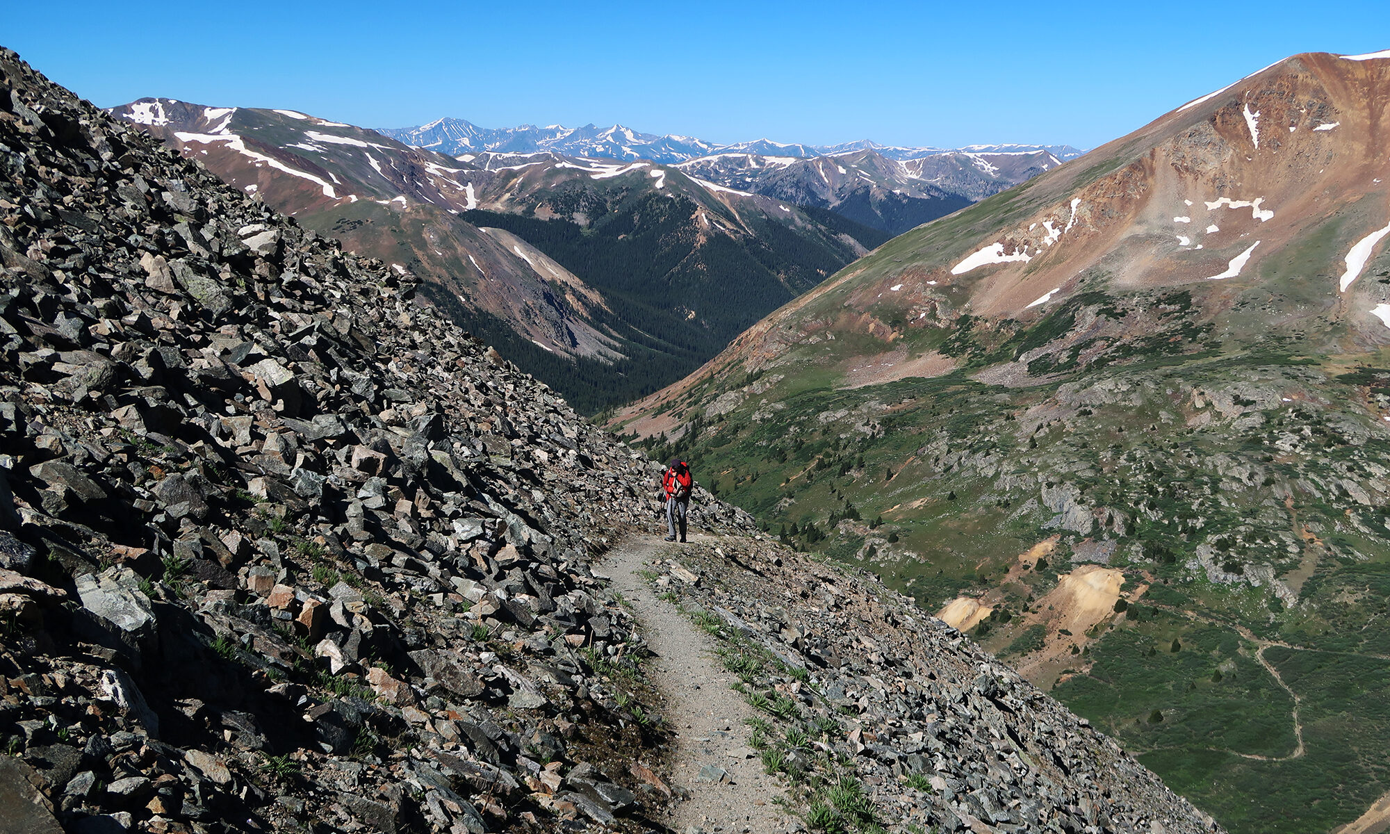
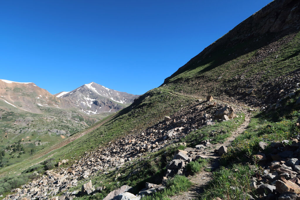
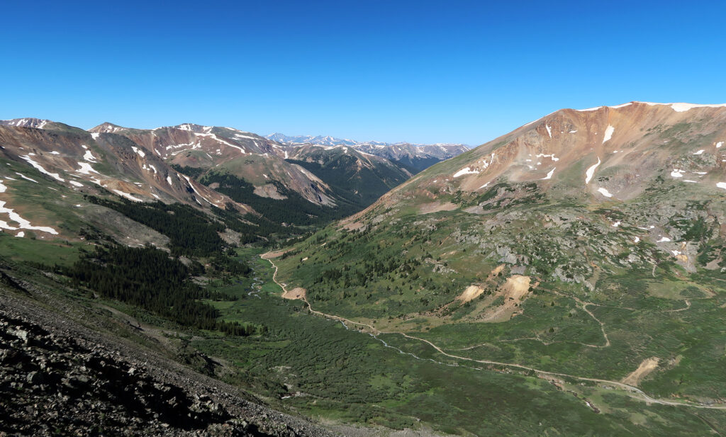
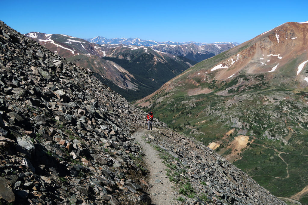
As I write this, months later, I mostly remember the gorgeous flowers of the basin, and the expansive views of the airy ridgeline along the continental divide. But the majority of our ascent involved trudging up a gentle ramp beneaath Argentine Peak, ascending 2000-vertical feet from basin to ridge, in a consitently slighty-out-of-breath state. Such is the nature of hiking.
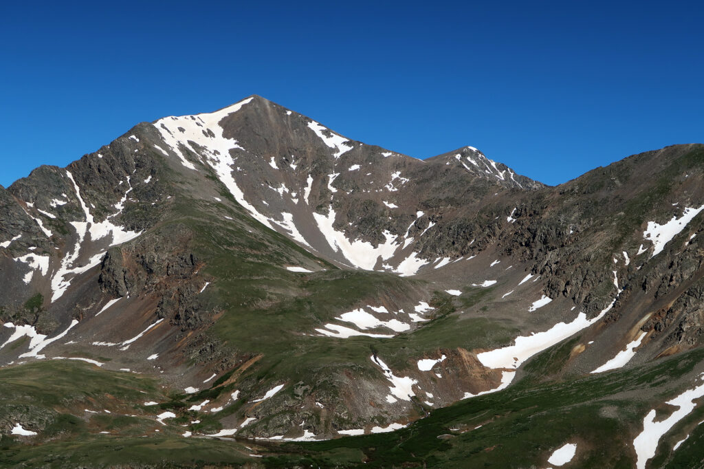
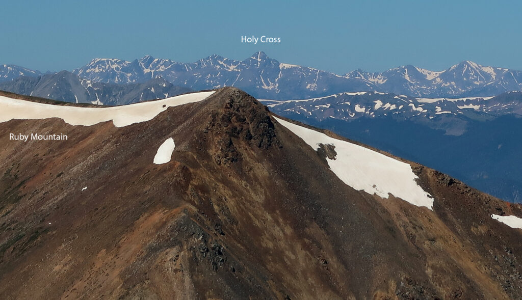
That said, even this ramp was a pleasant hike. We saw the ruddy red slopes of Ruby Peak across the drainage. To its right, lording over the scene, was Grays Peak. To its left, views grew more and more expansive to the West, showing the high peaks of the Sawatch and Gore Ranges.
Along the Great Divide
After ample huffing and puffing, we reached Argentine Pass. A well-beaten trail continued down into an adjacent drainage. But we turned left, along the Continental Divide to Mount Edwards. It was sunny, warm, and only slightly breezy. Basically perfect weather for summitting a mountain.
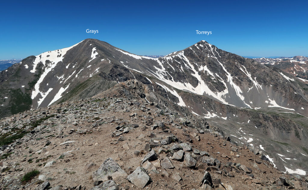
We saw perhaps a dozen other hikers on our outing. But a few miles northwest, on the slopes of Grays Peak, we could make out quite a few more hikers heading up that peak. Grays (and Torreys) are the only peaks along the Great Divide that breach the magical 14,000-foot mark. They’re also one of the easiest-to-climb 14ers in Colorado (and among the closest to Denver). This is all a perfect storm for an extremely popular, “bucket list” hike. On most summer weekends, the trailhead for Grays/Torreys parks out long before sunrise. Unlucky “late” arrivals instead are forced to park miles down the road, near Interstate 70, and hike an extra 1000 vertical feet. The road to the trailhead is severely rutted and poorly maintained. The trail can feel more like a conga line than a hike at times.
Mount Edwards has none of these problems! We arrived at a luxuriously late 7:45 am and had large stretches of the trail all to ourselves. And the irony here is Mount Edwards is no slouch in the altitude department. It rises to 13,860 feet above sea level, making it one of the 100-tallest ranked peaks in Colorado—so called “Centennial Peaks”. This fact probably drums up its own share of foot traffic (it was the reason I suggested the hike!), but nowhere near the hubbub of a 14er.
Mount Edwards
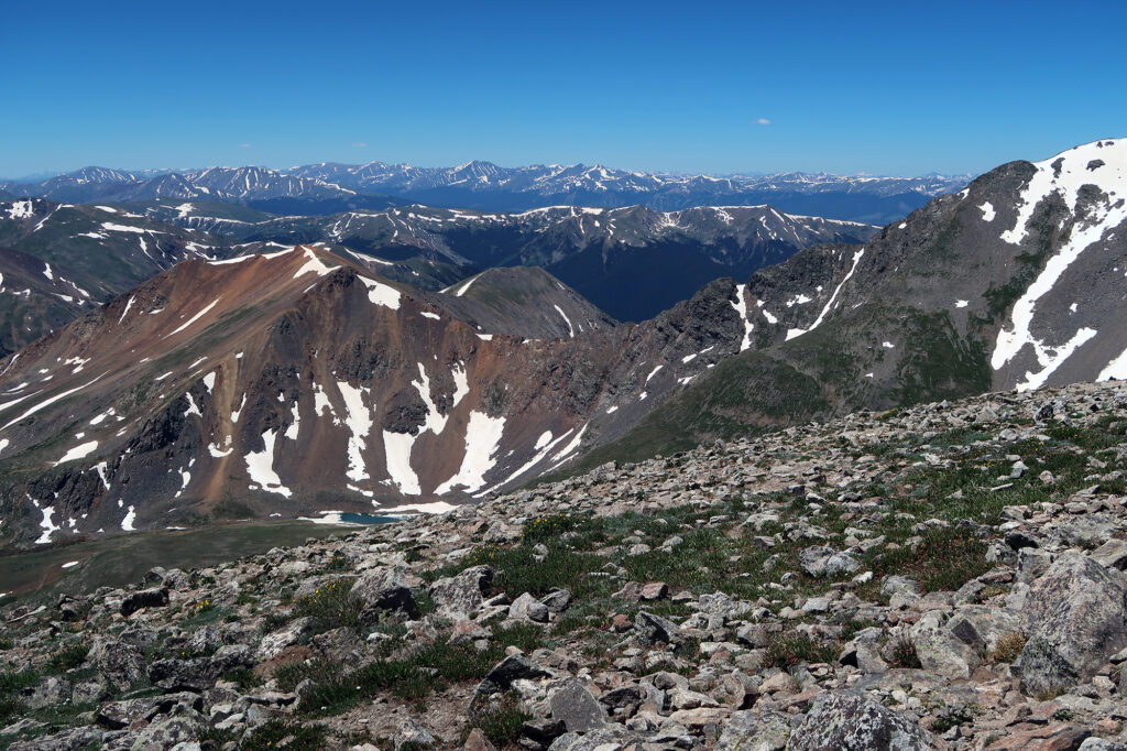
After a rolling mile or two along the divide, we reached the summit of Mount Edwards. We rested up, soaking in the views and scarfing down a few well-earned summit snacks. The views were spectacular on such a clear day.
Before long it was time to do it all again in reverse. We bumbled back along to Argentine Pass. Then we descended the endless ramp towards Peru Creek. We finished just in time for a late lunch down in Keystone. Our Edwardian hike had come to its conclusion.
