October 10, 2023
Bumper to Bumper
It was drizzly and overcast as I cruised up the gentle switchbacks of Kuwohi Road. Even on these highest peaks of the Smokies, peak Fall foliage would not arrive for another week or two. But tinges of reds and oranges still festooned select stands of precocious hardwoods.
I had arrived at nearby Newfound Gap—on the Tennessee/North Carolina border—before dawn. But rather than high-tail it to Kuwohi’s summit, I instead elected to hike a gorgeous, short section of the Appalachian Trail to Charlies Bunion. I figured that would give me a rare bit of solitude in the Smokies.
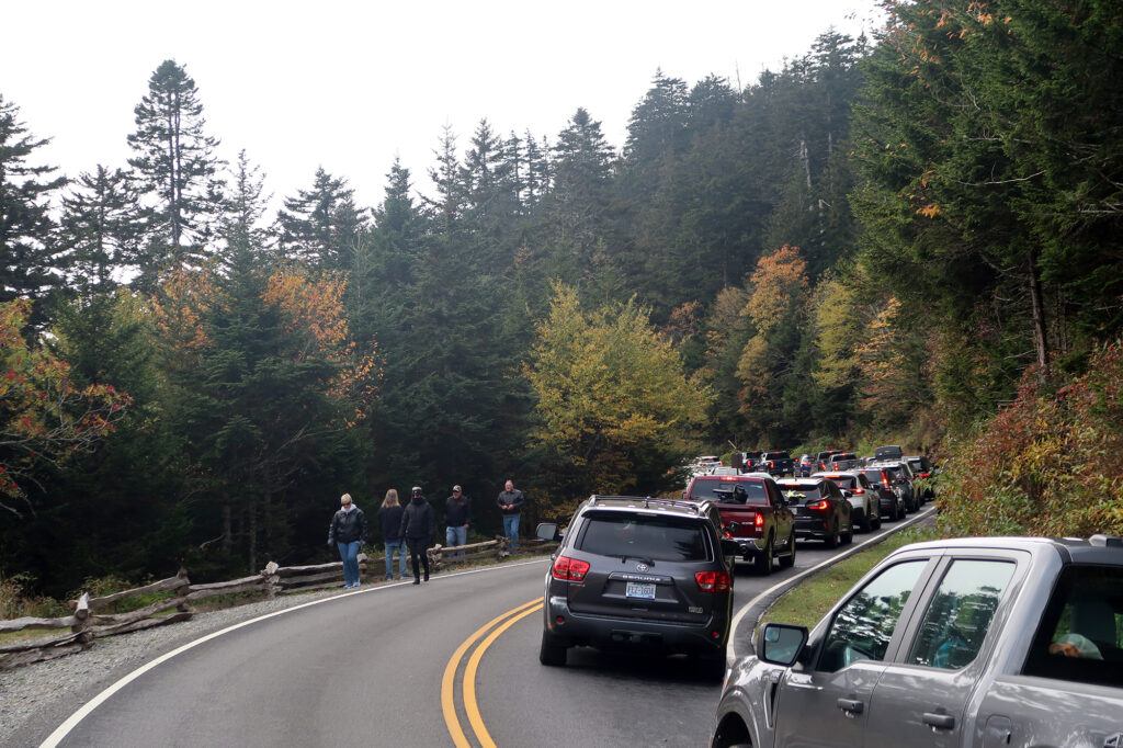
Now I was facing the cost of that tradeoff: rolling up to one of the star attractions of the Smokies at 10 am during peak tourist season. I hit stand-still traffic over 1.5 miles from the summit parking area.
The most visited state high point
The stand-still traffic jam didn’t surprise me in the least. I pulled off the road as I came up on the first of several small parking offshoots. And then I began walking up the road.
Kuwohi is the highest point in Tennessee, and a marquee attraction of Great Smoky Mountains National Park. It’s also the highest point on the storied Appalachian Trail, which runs from Georgia to Maine. Great Smokies is the most visited National Park in the entire system (handily beating out places like Yosemite and Yellowstone). And Kuwohi is, by a wide margin, the most-visited state high point, with over 700-thousand annual visitors in some years.
You may be wondering why you’ve never heard of Kuwohi. And that may be because it recently received a name change from “Clingmans Dome” back to its earlier Cherokee designation. Kuwohi means “mulberry place.”
No dogs allowed
I didn’t mind the extra mileage and vert. When I began on my high pointing adventure a few years back, I decided I needed to hike to the summit of each high point, from some reasonably low trailhead, when possible. It’s true some high points are thoroughly unhike-able. But others require a choice between, say, a cushy cog railway, and a character-building ascent.
For Kuwohi, I cheated a little. You see, you could start from thousands of feet below, towards Gatlinburg and the lower regions of the park. But these routes required 20-mile day hikes or overnight camping. I was on a bit of a leisurely tour of Southern Appalachian high points. And not too keen on dedicating that much time and energy to one peak. Besides, I needed to save a bit of time for Dollywood. And so, I opted to start my ‘hike’ just 600 vertical feet below the summit.
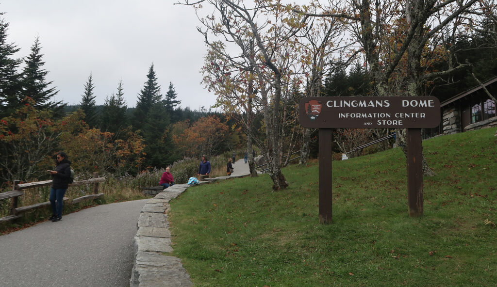
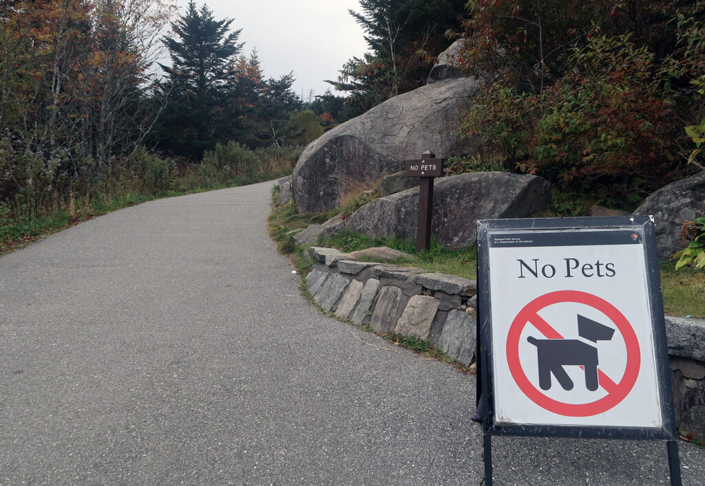
I sort of felt this was a more authentic approach for this particular peak. 700,000 park goers flock to its summit each year. I wanted to experience this geographical Hajj the way the vast majority of them do. And that meant traffic, and parking, and concession stands. And, true to National Park Service BS, no dogs allowed.
Climbing Kuwohi
Perhaps 20 minutes later I reached the summit parking area. From the lot, there is still a respectable 340-vertical-foot ascent to the summit observation platform. This hike takes place on a paved path. Consistent with the parking situation, the trail was packed.
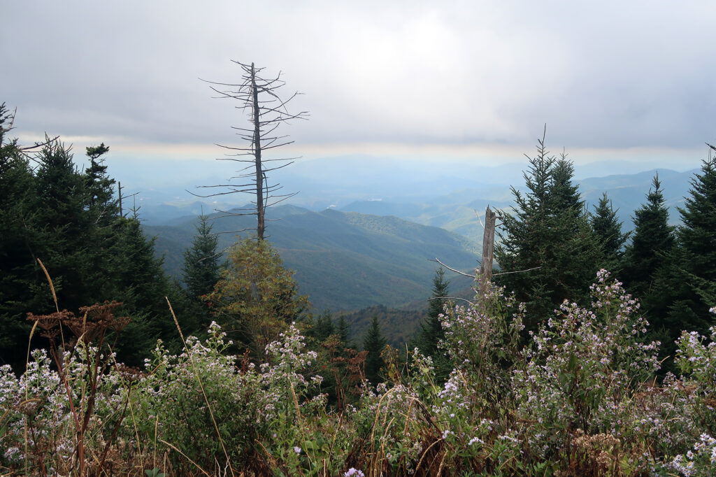
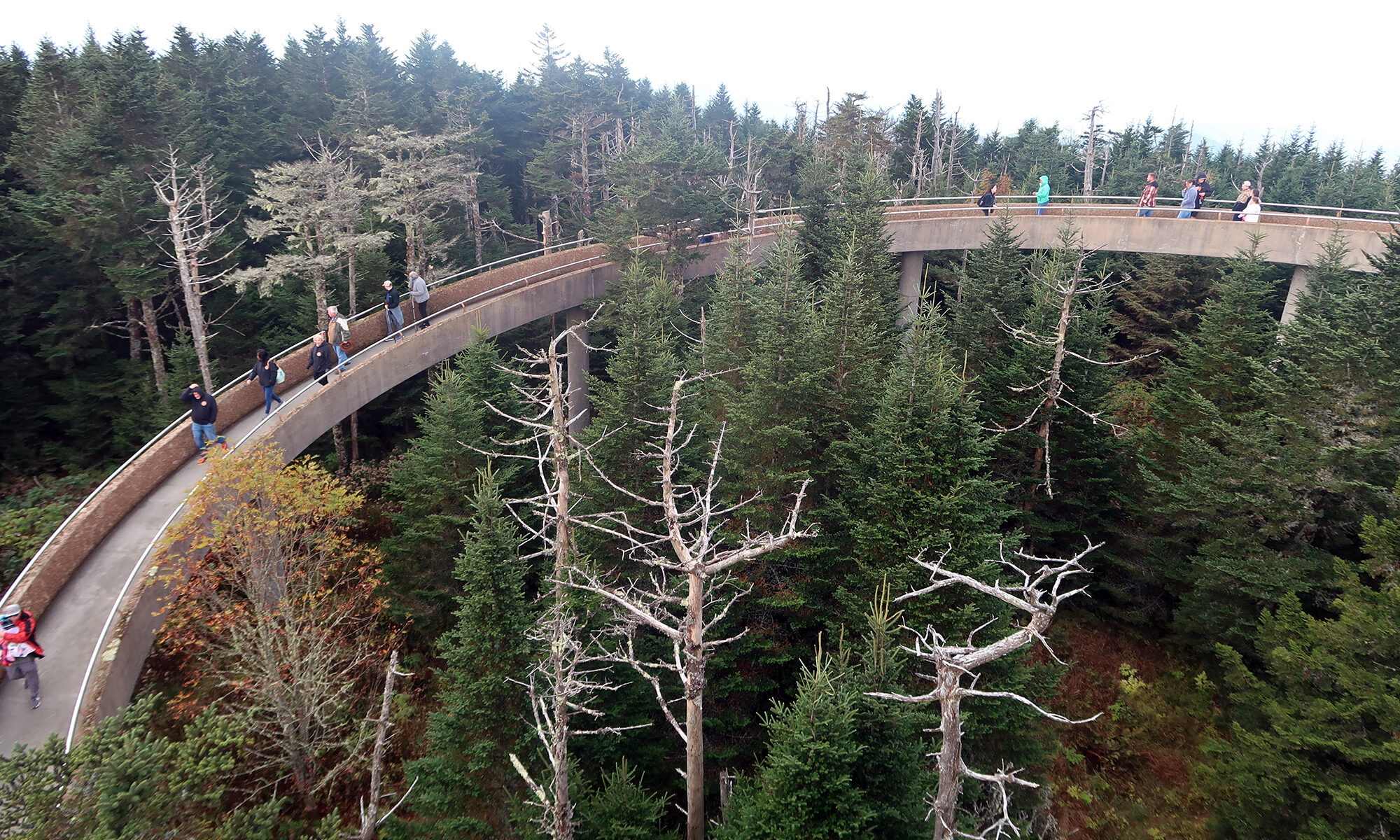
A short while later, I reached the top. Like most peaks in the southeast, it was entirely forested. But luckily a modernist observation platform was built in 1959, taking you above the tree-tops.
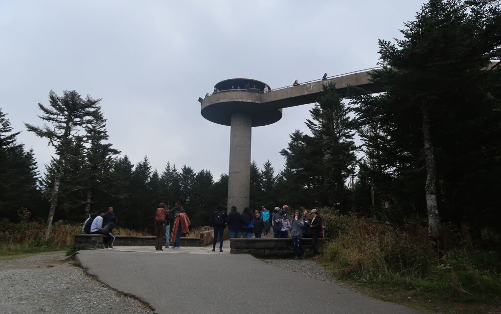
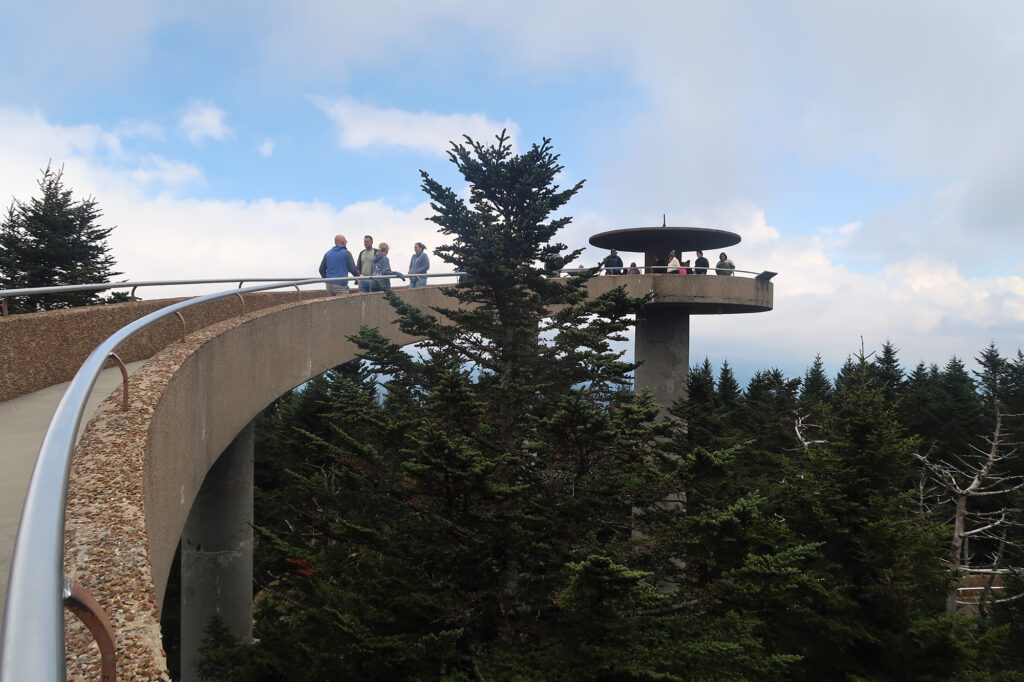
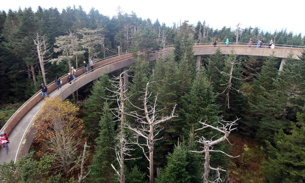
The concrete structure of the observation tower is a beautiful experience in its own right. Built in 1959, it seems to pay homage to a highway on ramp. But weirdly, it works.
After soaking in some views, I made my way back down the walking path and down the road to my car. Along the way, people rolled down their windows to ask “how much further?” and “is it worth it?” and similar. I told them “5 minutes” and “absolutely!” Of course, it’s even more enjoyable just to park and walk.

I’ve hiked there and loved both Charlie’s Bunion and Clingman’s Dome…how cool to read about them some years later, bringing back such great happy memories
Just this past year 24’ I hiked to the top to release some of my brothers ashes, it was overcast and cool for July, even clouds passing by making it hazy. Once I released ashes from Shaw on the hike back down towards Fontana the sun came out and temps became much warmer. For those who have not hiked to the top, add that to your bucket list it’s worth it!!!! Trust me!
Paul B.