August 27, 2021
The Sahara amidst the Rockies
The great state of Colorado spans 10,000′ in elevation and over 450 miles in extent. Its geography and climate span an equally impressive range. A single day’s drive can take you from the high eastern plains to red rock desert, with the spine of the Rockies in between.
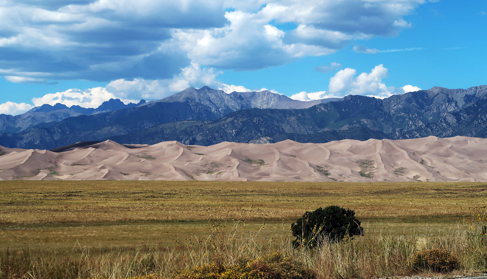
So maybe I shouldn’t have been too surprised to learn that Colorado even features its own little patch of the Sahara Desert. If you don’t believe me, just head over to Great Sand Dunes National Park and see for yourself.

The park sits in the south-central portion of the state, a bit isolated from any major population centers. US-160, which takes travelers through Durango and Pagosa Springs and across to I-70 south of Pueblo, comes a bit close. The park welcomes visitors year-round, and you can even rent sand boards or sleds to ride on the dunes.
Great Sand Dunes NP sits just west of the Sangre de Cristo Mountains, a tall and formidable sub-range of the Rockies. It sits within the San Luis Valley, between that range and the equally rugged San Juan mountains. Ancient lakes formed from glacial melt created much of the sand in the park, geologists believe. When the lakes dried up, strong prevailing winds from the west blew the sand across the Valley, but the Sangre de Cristo stopped those winds, allowing massive dunes to form just to the West. Opposing storm winds from the east helped give the dunes their height. The NPS has a very brief video illustrating this theory.
Hiking in the dune field
Hiking provides a great way to appreciate just how massive and beautiful these dunes truly are. My target for the day was High Dune, a prominent summit towering over the parking area and visitor’s center. Despite the name, High Dune does not comprise the highest point in the park. But it provides stellar views of the entire dune field.

I parked in the main visitors’ lot just to the southeast of Medano Creek. In August, the creekbed seemed entirely dry. But in the spring folks come out for a fun “beach day” along its flow. I wore gaiters and sunglasses to keep sand out of my shoes and eyes. I also wore a long-sleeve t-shirt and brought ski goggles, just in case things got intense.
Rangers advise against hiking the dunes midday in the hot sun. The high-altitude sun bakes the sand, creating an intense, unsafe hiking experience. Thus I waited for late afternoon when the light was more dramatic anyways.

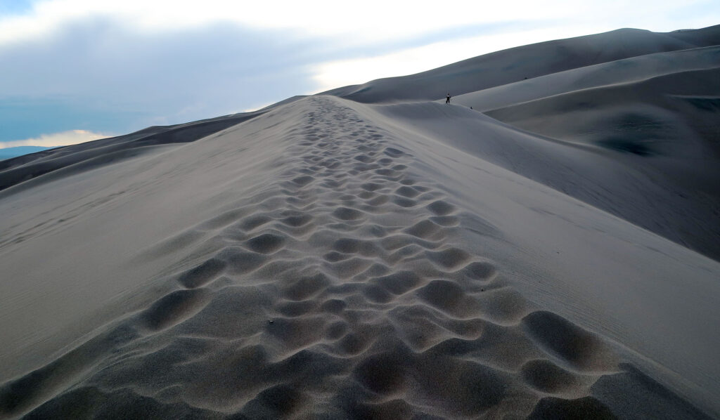
With the sun low on the horizon, I began my ascent. High Dune crests nearly 700 feet above the parking area. This makes the dune about as tall as a skyscraper in midtown Manhattan. The loose sand shifting underfoot also makes this hike especially hard on the calves.
High Dune at Sunset
I hiked past many folks riding down steeper slopes on sand boards and wooden sleds. I hiked past backpackers, heading deep into the dune field to set up camp for the night. And I saw plenty of fellow day hikers gathering for a stunning sunset atop the dune field.

The sands of time shift unpredictably. So do the sands of High Dune. You can follow recent footsteps and mapping software. But ultimately you have a lot of flexibility in exactly how you ascend the dune. Footprints don’t last especially long. I tried to stick to high ridgelines with a gradual slope. Windblown sand against my skin was a constant. It felt like a nice exfoliation treatment.
Finally, I reached the summit. I settled in for some gorgeous “golden hour” views. The sun began to set behind the distant San Juan peaks. Then it was time to slide back down to Earth.

The trip down took way less time. Now the sand slid underfoot in your direction of travel. Within roughly 30 minutes I was back down by the creek bed. Great Sand Dunes sits in a rather isolated corner of the state. But the park provides ample car camping opportunities. In summer the early evenings are dry and mild, and the nights crisp and cool. Before long I was BBQing my dinner under the stars.

