October 7, 2023
Country Roads
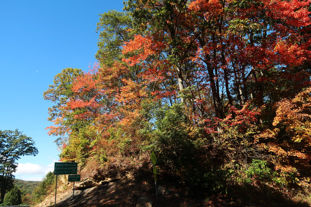
The road snaked its way up the mountainside, from the fittingly named town of Appalachia, Virginia. It was blue skies and orange foliage, in the far western extremes of the state. Finally, the road leveled off at a small pass just below 3800′. I had reached the Kentucky border.
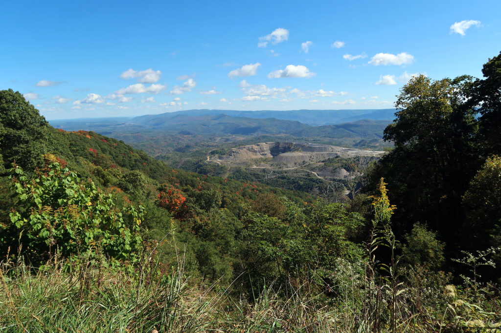
It was a day of “high pointing,” as I had just come from a lovely, moody-weather hike at Virginia’s Mount Rogers. Now it was time for a very brief stroll in the Bluegrass State. A small dirt road led up to the high point. You can actually drive it in most vehicles. But I had a rental car and a mind to get a bit more exercise that day, so I would walk to the summit.
Air Kentucky
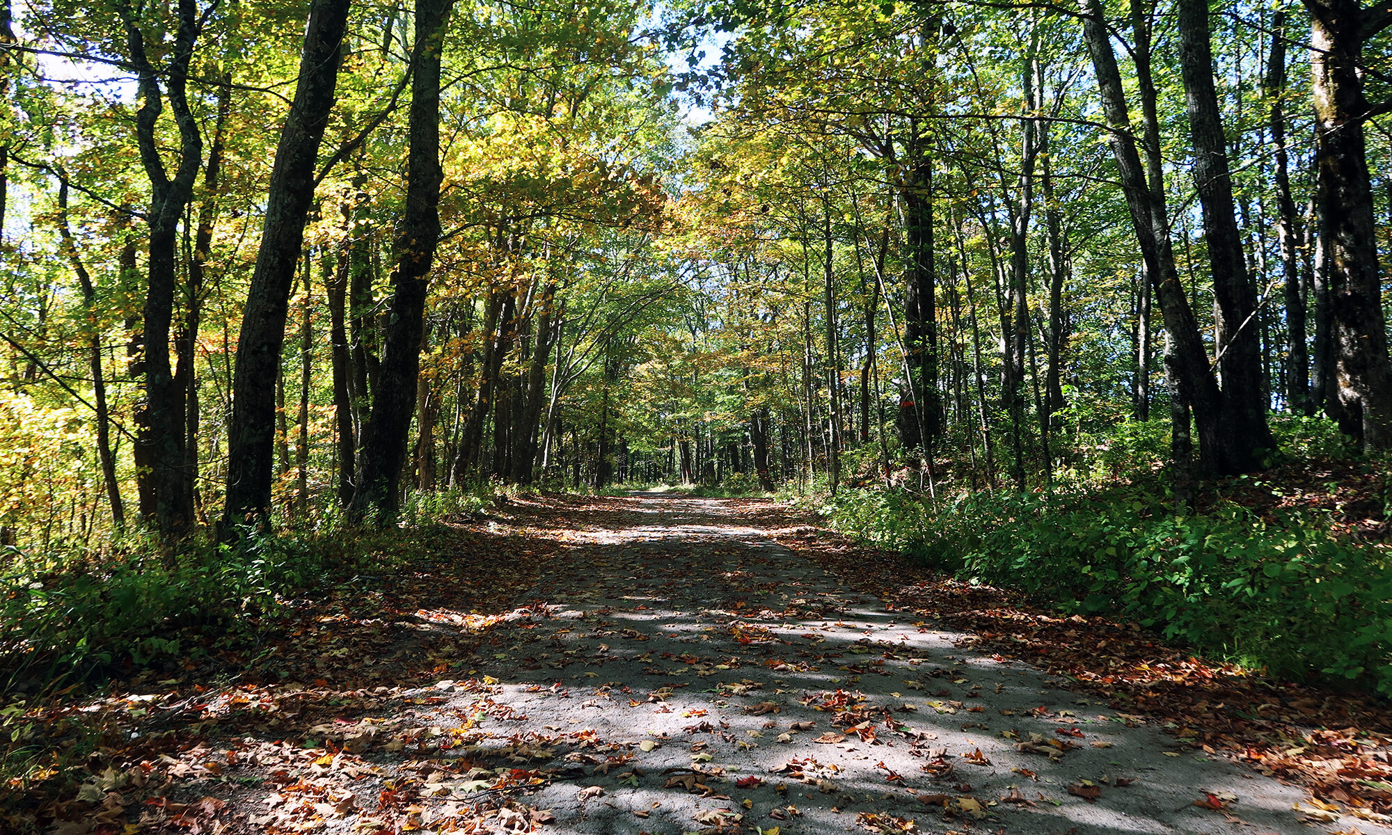
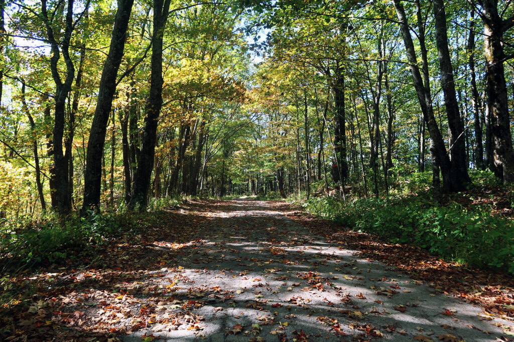
The dirt road led 1.8 miles to the 4145′ summit, roughly 320 vertical feet above the paved road. This amounted to a very gentle ascent. Trees lined the road on either side for most of the journey, precluding any sweeping views.
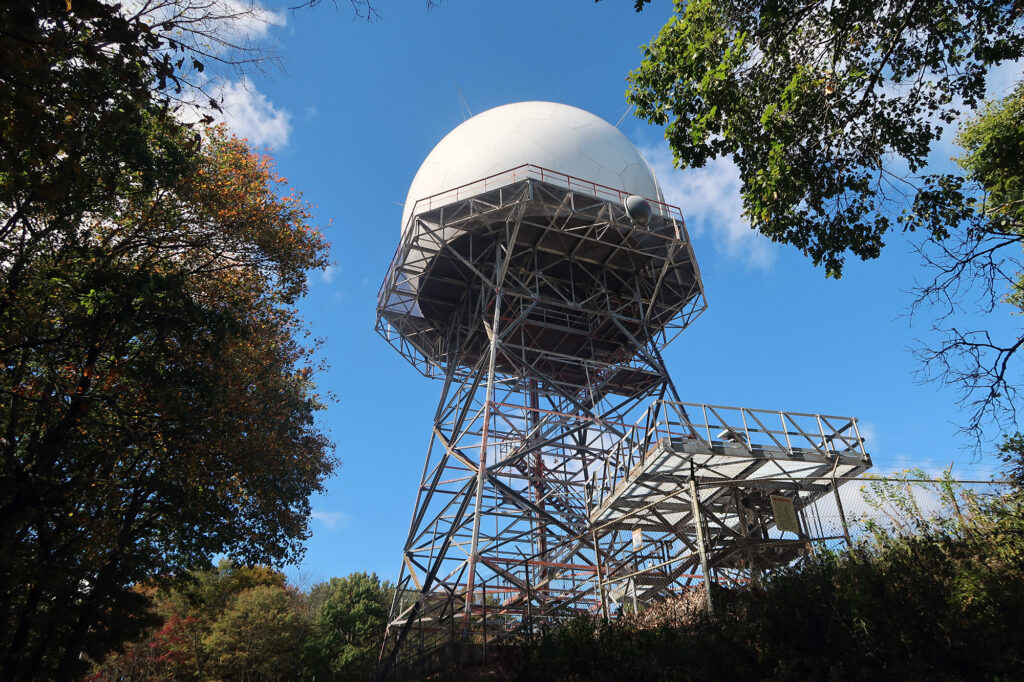
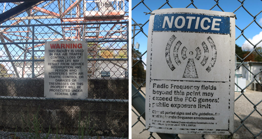
Near the summit I passed a giant radar dome, used by the FAA to track flights in the region. This is hardly the only state high point used in radar systems: Ohio’s high point served as part of the US’s early warning defense system.
Black Mountain
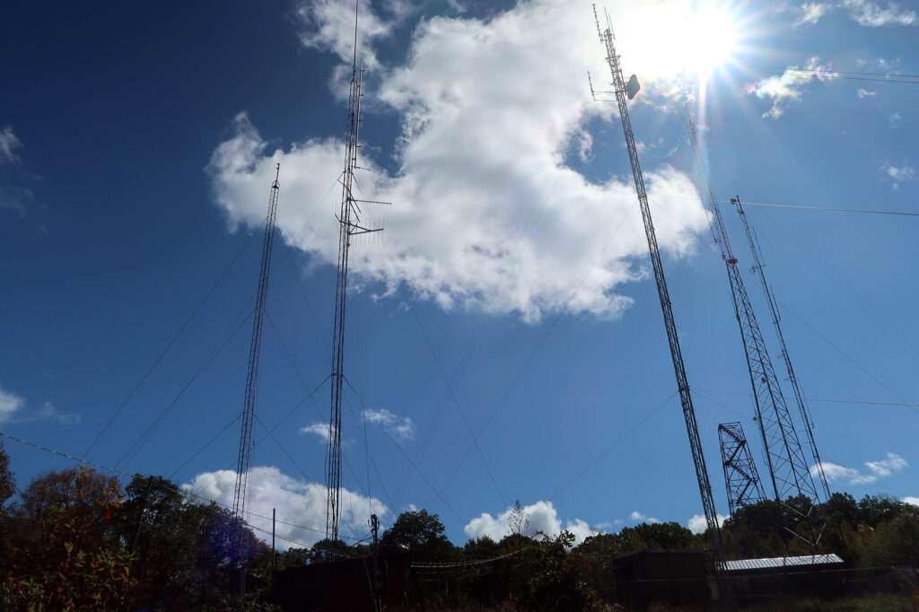
The road continued back to a clearing at the true summit. Back here there were multiple comms towers sprouting up around the summit marker. An abandoned fire tower sat nearby. It was hardly the most charismatic state high point.
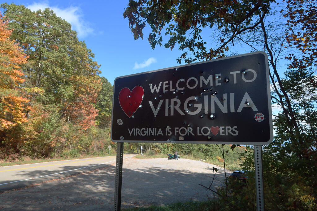
And so, with little fan fare, I snapped some pics and headed back towards the car, and back into Virginia. It was then I noticed the state welcome sign, decked out in true Kentucky fashion. I was definitely in Southern Appalachia!
