September 19, 2024
Arrival at Walltown Crags
I was mostways through my roadtrip through the United Kingdom, driving from London to Edinburgh. As I reached Northumberland, and the uppermost reaches of England, the trip very obviously needed to include a short hike along the famed Hadrian’s Wall. And so I arrived at the carpark at Walltown Crags to enjoy what English Heritage refers to as “arguably the most spectacular bit of Hadrian’s Wall.”
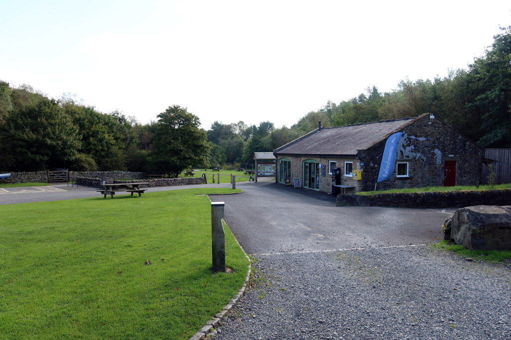
Like every hike walk I did in the UK, the trailhead parking carpark required payment. So I swiped at the kiosk and punched in my license plate before proceeding.
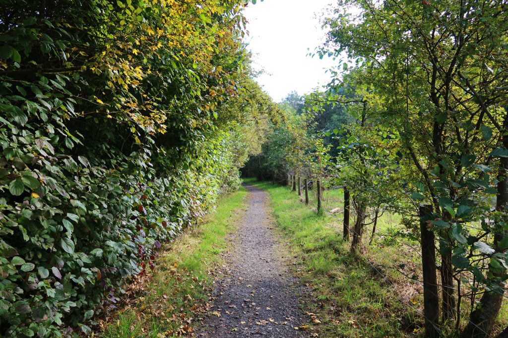
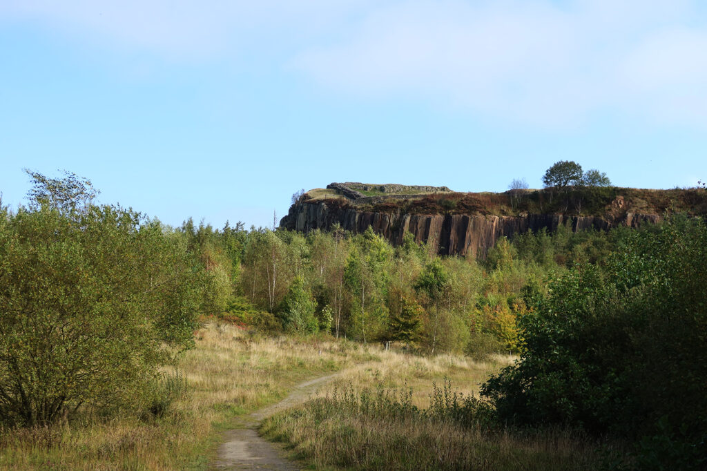
The walk began in a low-lying area amidst some ponds and thickets. Walltown Crags are the remnants of a whintone quarry. But the area has been restored into a more bucolic recreational area. It looked like excellent bird habitat and I saw some folks with binoculars.
It was a quiet Thursday in late September. Through the course of the trip, as I made my way further north and further into September on the trip, I began to notice tinges of Fall foliage. Walltown Crags in particular was showing some excellent autumnal accents!
The North Remembers
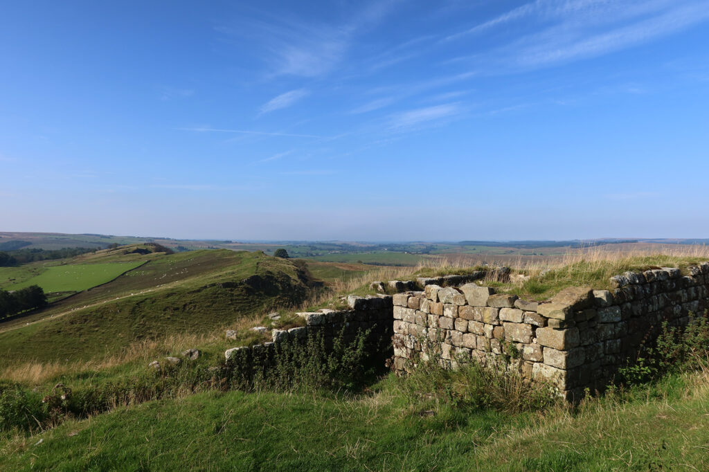
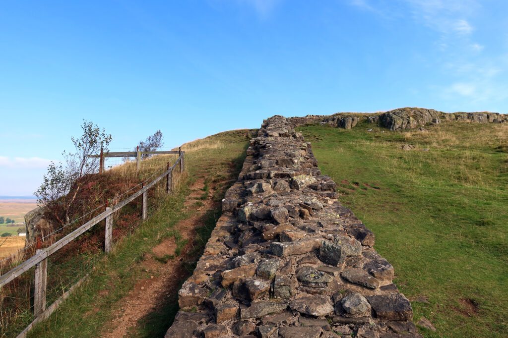
I reached a gentle climb up to the top of the quarry wall, and soon I came upon the first remnants of the famous Hadrian’s Wall.
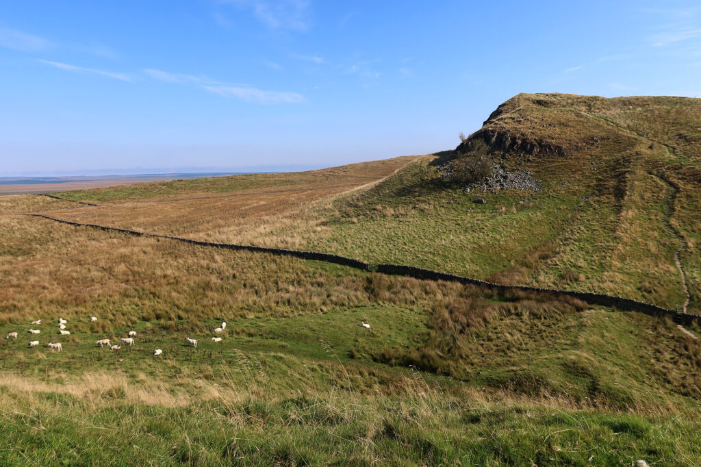
The wall was built over 1,900 years ago (!!) and marked, for much of its maintained existence, the northernmost extent of the Roman Empire on Great Britain. It stretched over 70 miles, from coast to coast. Roman soldiers staffed both large forts and smaller “milecastles.” Although it’s near the border of modern day Scotland, it lies entirely within England.
Hadrian’s Wall was also a partial inspiration for “The Wall” in Game of Thrones. So as a fan of (most seasons of) the HBO show, I definitely needed to check out the inspiration. While the fictional version was 700 feet tall and made of ice, the real thing was only 15 feet tall and made of stone. Nearly all of its above-ground masonry was dismantled and reused throughout the region. So sadly none of the original structures rise far above ground level.
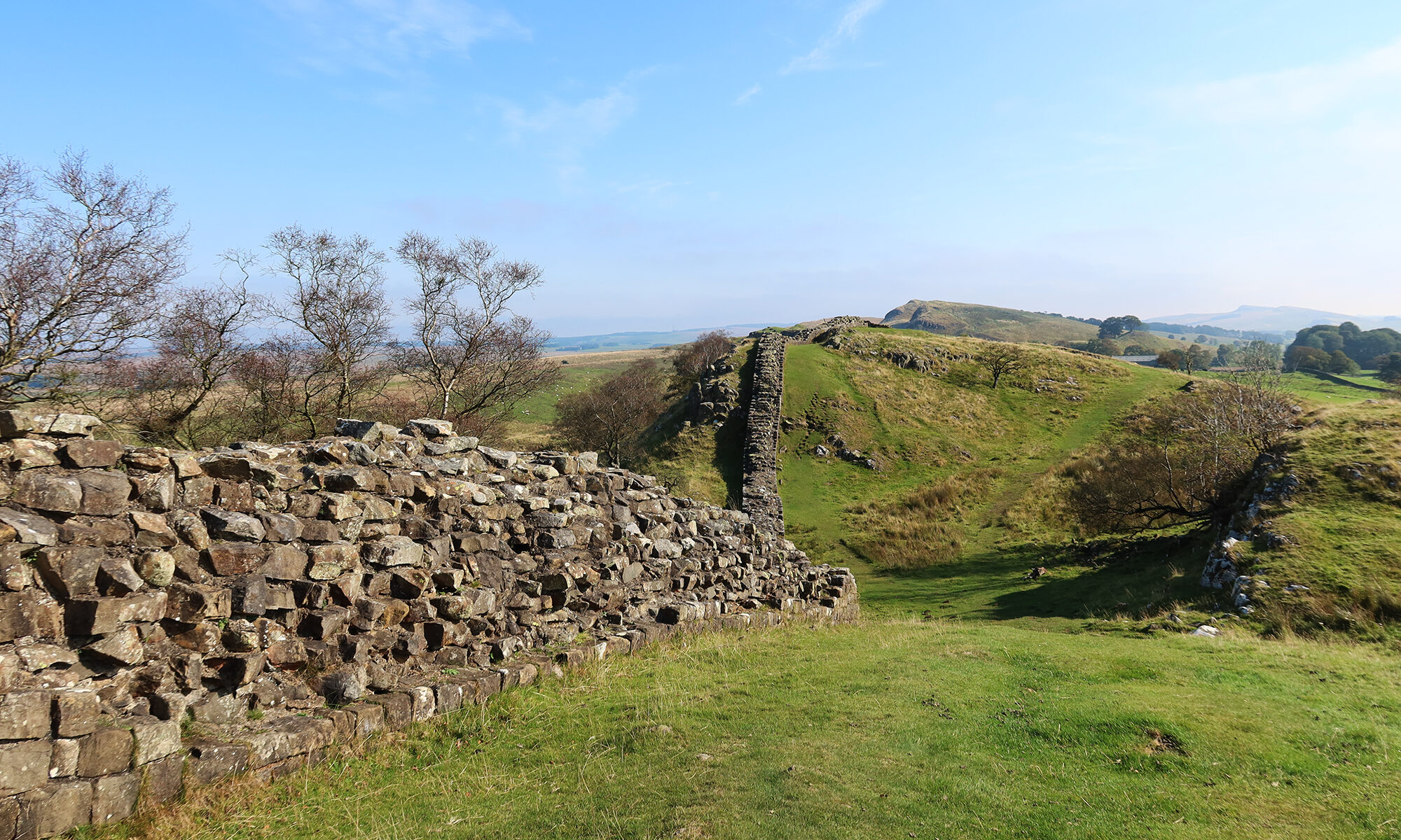
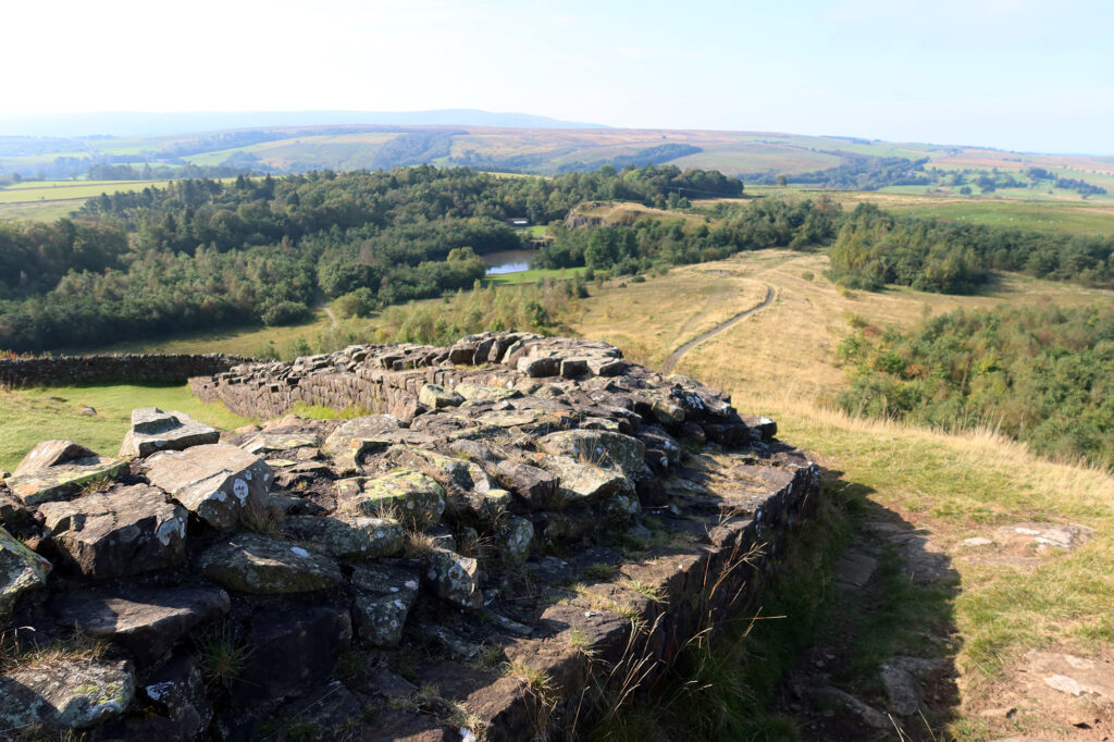
I followed the wall up to the apex of the hillside, and then along its route through the rolling countryside of Northumberland. I could see miles of bucolic pastureland on either side of the wall. The hillside fell precipitously to the north—a strategic advantage for the Romans.
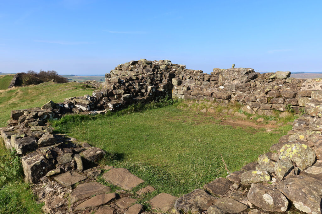
Milecastle 45
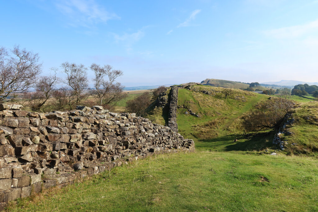
Soon I reached “milecastle 45” … the Romans built small tower buildings every mile along the wall. In addition to these minor outposts, there were periodic major forts along the wall, like nearby Housesteads.
Like nearly all of Hadrian’s Wall, this “milecastle” was essentially just old foundations. The upper stones had been stolen long ago. Still it was pretty neat to see even the foundations of a two-millenium-old structure.
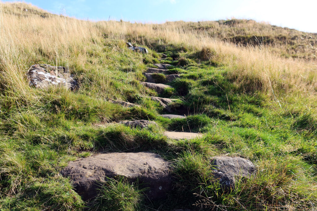
I continued along the trail a bit further, as it bobbed up and down the undulating pastureland. There were small stone steps cut into the path. I saw plenty of walkers out and about. Some folks walk the trail end-to-end across these northernmost stretches of England.
The Return to Walltown Crags
I kept things relatively brief, having recently sprained my MCL. And so I turned around one rolling hill or two beyond the milecastle. I returned back down, under the quarry wall at Walltown Crags, and took a slightly alternate path back to the carpark.
By now, more folks were out and about, strolling the gorgeous natural area. But for me it was time to get back to the car, and to make my way towards Alnwick.