October 13, 2023
Arrival
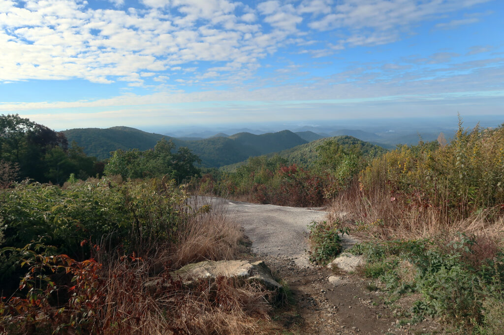
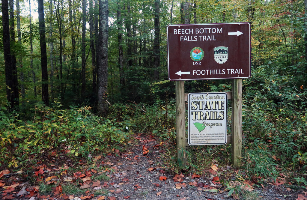
I reached Chimney Top Gap, and the Beech Bottom Falls Trailhead, around 8 am. Morning sunshine already poked through the trees near the trailhead. It was a luxuriously late start for the final hike in my Southern Appalachians high pointing tour.
I parked alongside the road, in an empty dirt turnoff. Then I set off along the foothills trail, heading East towards Sassafras Mountain—the South Carolina high point. By random chance, I had picked a rather odd/spooky day to hike this peak: it was Friday, the 13th of October!
Along the Foothills Trail
A roughly three-mile stretch of South Carolina’s Foothills Trail runs from Chimneytop Gap to Sassafras Mountain. The trail runs 77 miles in total, hugging South Carolina’s borders to both Georgia and North Carolina. It basically covers the small, far-northwestern corner of the state that overlaps with the Appalachians. It’s well-suited to both multi-day backpacking, and day hikes like mine.
The trail wound its way through open, deciduous forest. This segment rose somewhat steadily 1300 vertical feet. You definitely get the feel that you’re hiking a proper mountain, even in the Palmetto State.
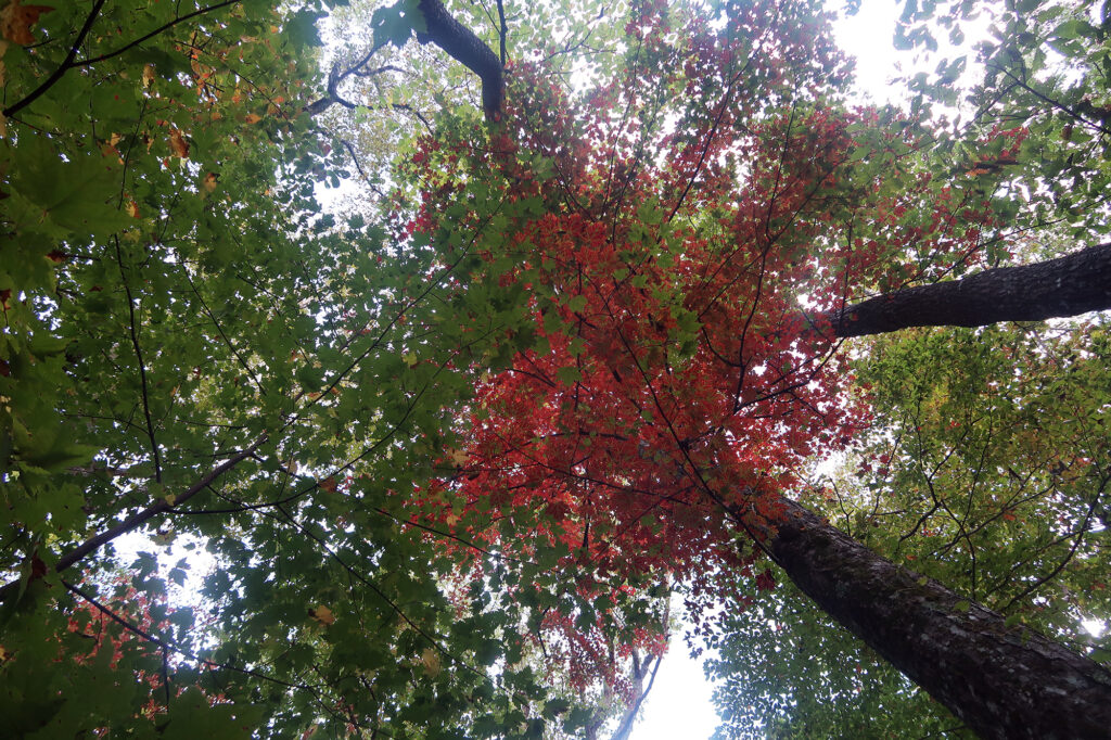
It was early Fall down here in South Carolina around 3000′. The trees overhead had just begun to turn tints of orange and red. The first of the freshly fallen leaves coated the well-maintained trail.
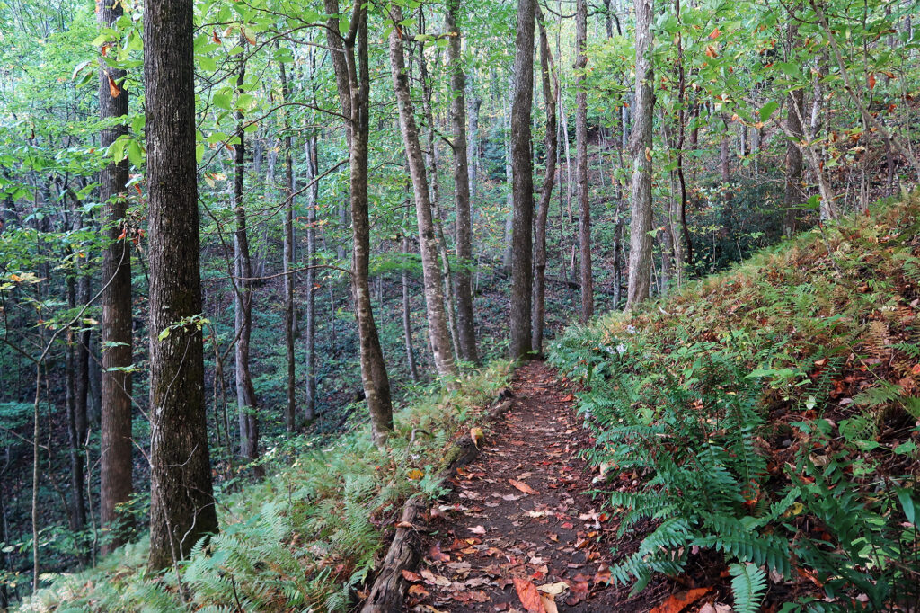
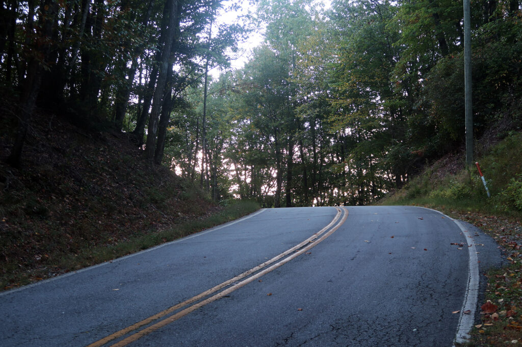
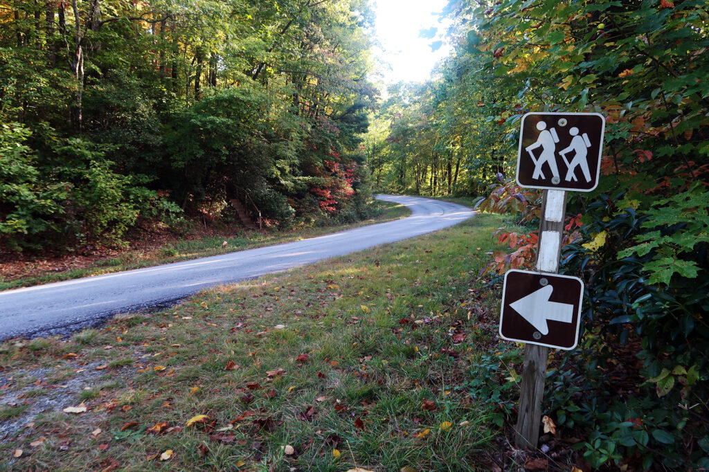
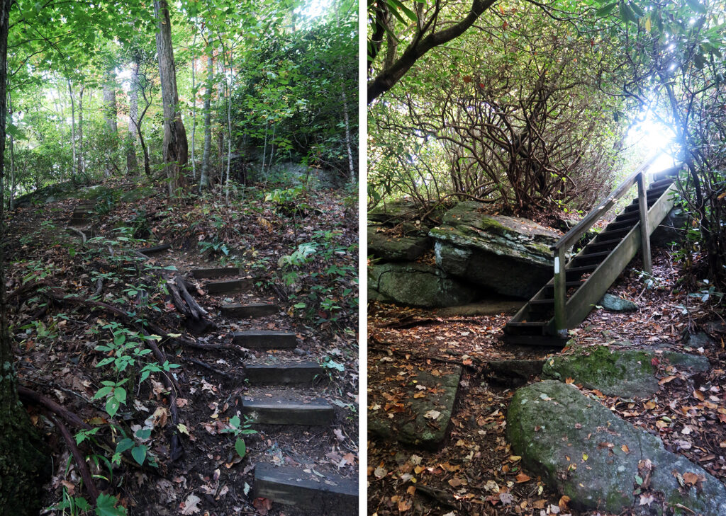
Eventually, the trail crossed a minor paved road that leads to the summit of Sassafras Mountain. Somewhat disappointingly, nearly every state high point in the Southern Appalachians is accessible by auto-road. That said, this peaks ranks among the least built up, and certainly not crowded. I continued onward, towards a final wooden stairway out of the brush and onto the peak.
Sassafras Mountain
Sassafras is a type of tree known for its three-pronged, rounded leaves. I’m embarrassed to say I didn’t look out for this tree while hiking this mountain! Until the 1960s, Sassafras roots were a key ingredient in the beloved soft drink. Around then, the FDA banned safrole, a carcinogenic oil found in the root. Today most root beers use synthetic flavoring, or work to extract the safrole.
Sassafras Mountain’s peak sits on the border between North and South Carolina. The peak sits within the southeastern-most extent of the famed Blue Ridge Mountains, part of the broader Appalachians of Eastern North America. Perhaps most notably, it forms the highest natural point in South Carolina. The state high point of every state bordering North Carolina sits on or near NC’s border. Sassafras Mountain is one of two such high points directly on the border (the other is Tennessee’s Kuwohi).
You don’t need to hike Sassafras: an auto road leads to its summit as well. In 2019, an ADA-accessible concrete platform was constructed atop the summit, to amplify views of the foothills.
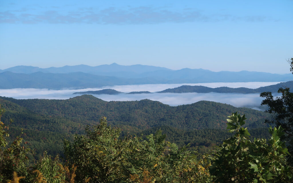
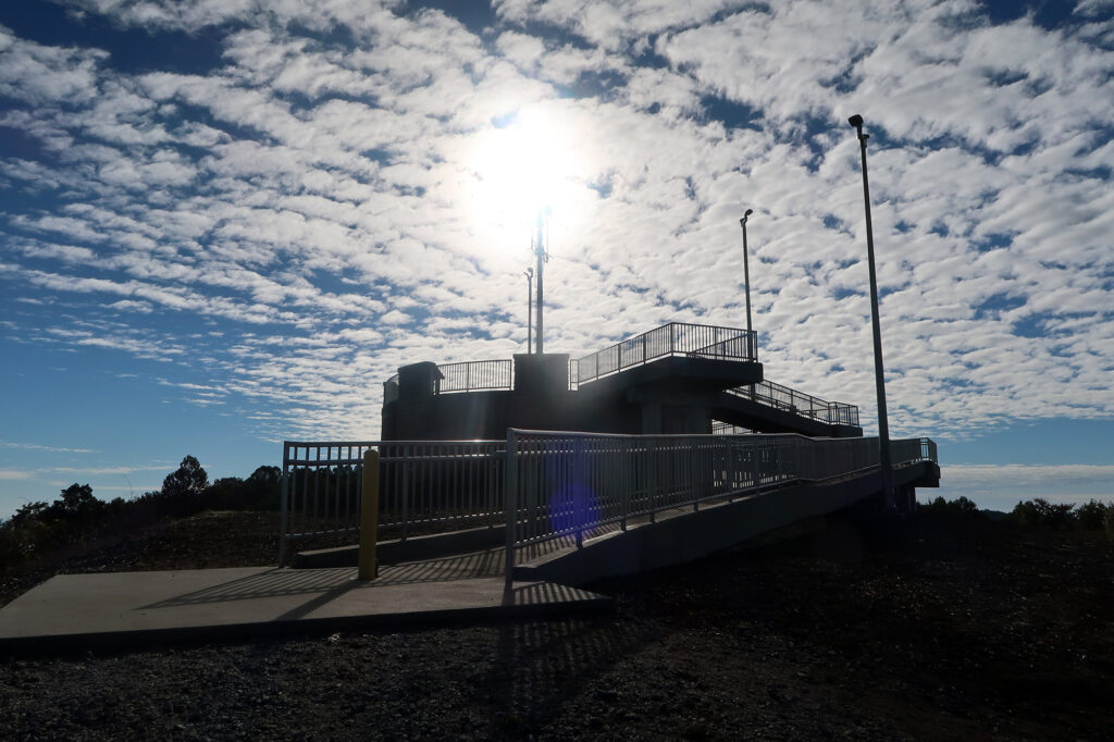
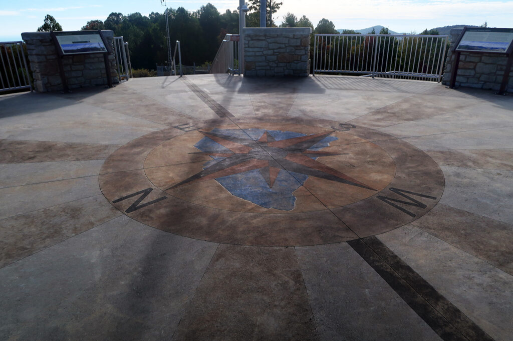
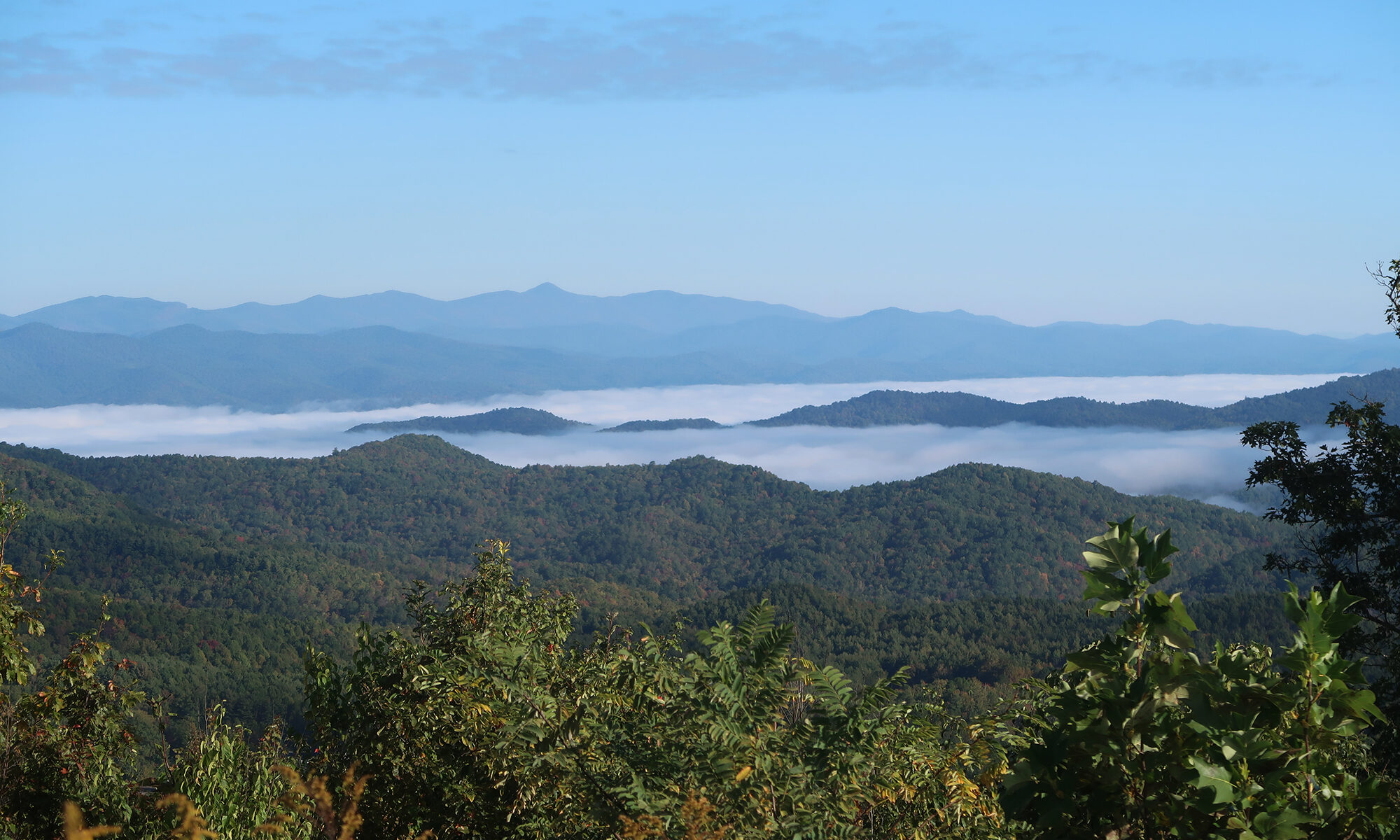
I had a lovely, quiet experience atop the summit, soaking in the views. There was a young couple up there with me, having driven the auto road. But around 9:30 am on a Friday the peak was mostly quiet.
The Conclusion
Then it was time to it all over again, in reverse! I headed down off the summit, and back into the woods. I had a decent chunk of driving ahead of me, towards Charlotte and the end of my Southern Appalachians road trip.
