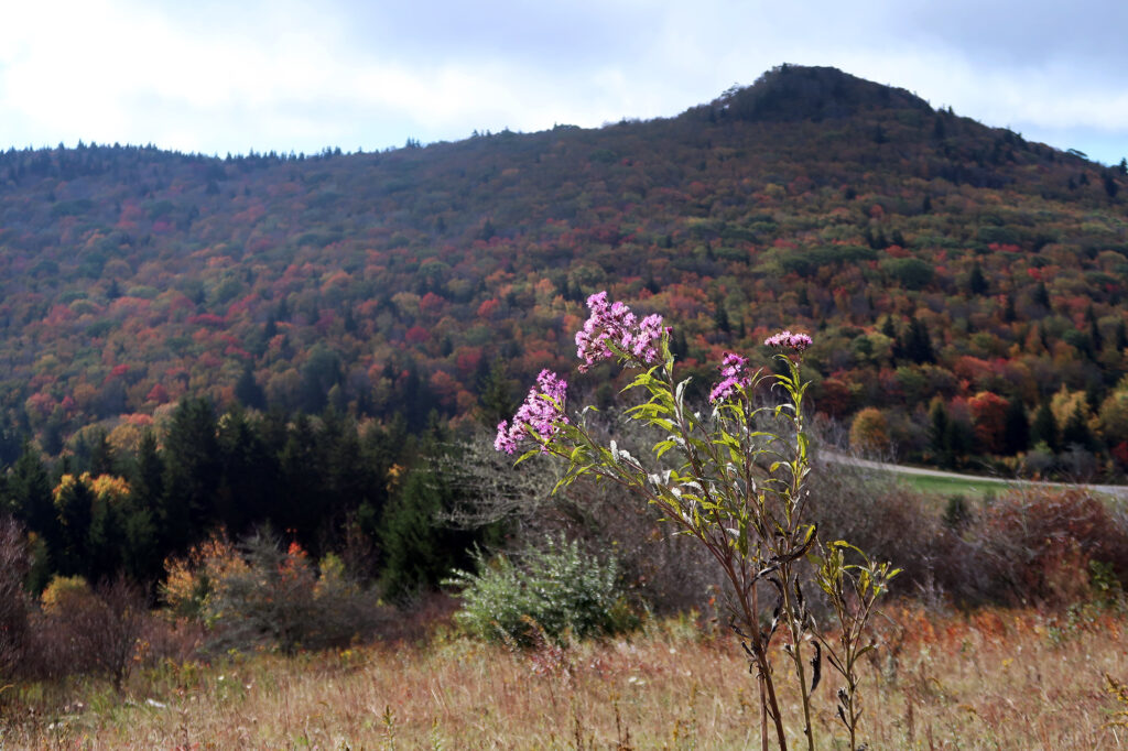
October 7, 2023
Arrival
I pulled into the carpark at Massie Gap shortly after sunrise. The winding drive had already taken me well above 4000′ and I got the sense there were views to be had, even down at the trailhead. But low lying clouds and fog obscured all but the nearest forested slopes. It was a moody fall day in Grayson Highlands.
I was here in the southernmost reaches of western Virginia to visit the state’s highest point: Mount Rogers. It would be the first of several stops “high pointing” around the southern Appalachians. And so I began up a half mile of switchbacks to meet up with one of America’s most storied hiking paths: the Appalachian Trail.
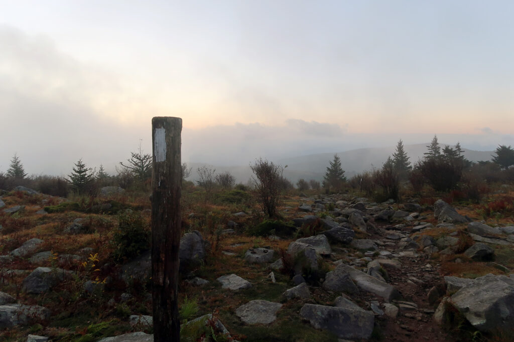
I synced up with the AT in a broad, open meadow, with views of wispy, low-lying clouds and golden morning sunlight.
Virginia’s high point is, well, surprisingly high. I personally don’t think of the “Old Dominion State” as particularly mountainous. But Mount Rogers rises over 5700 feet above sea level—higher than any summit in Maine or Vermont. And so even here on its southern slopes, it felt subtly alpine. There were stunted trees, and open meadows, and lots of boulders with lichen.
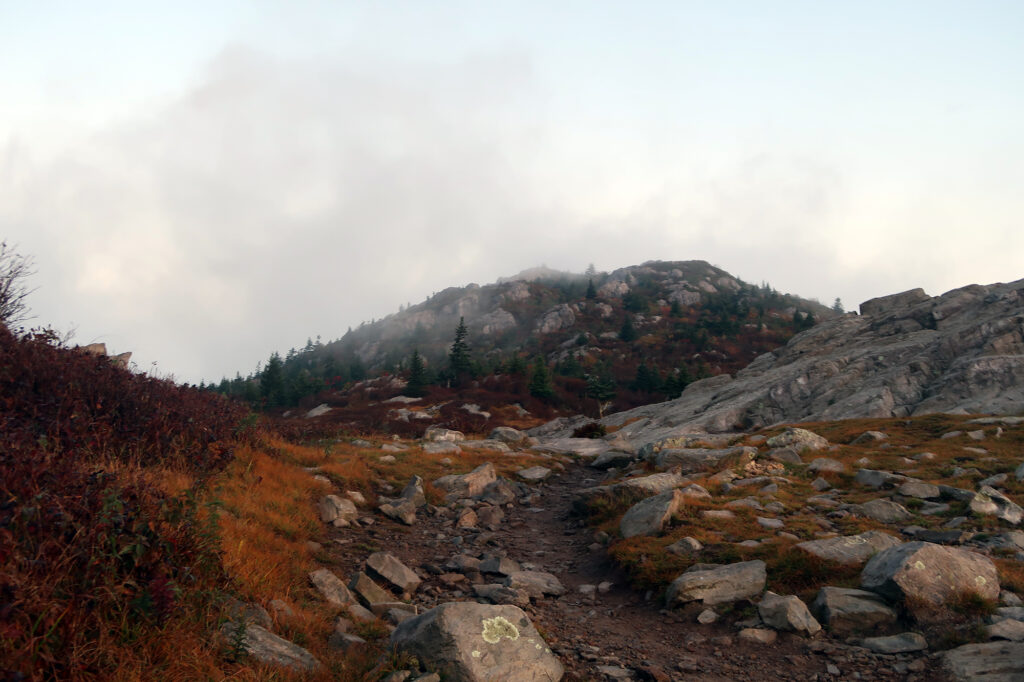
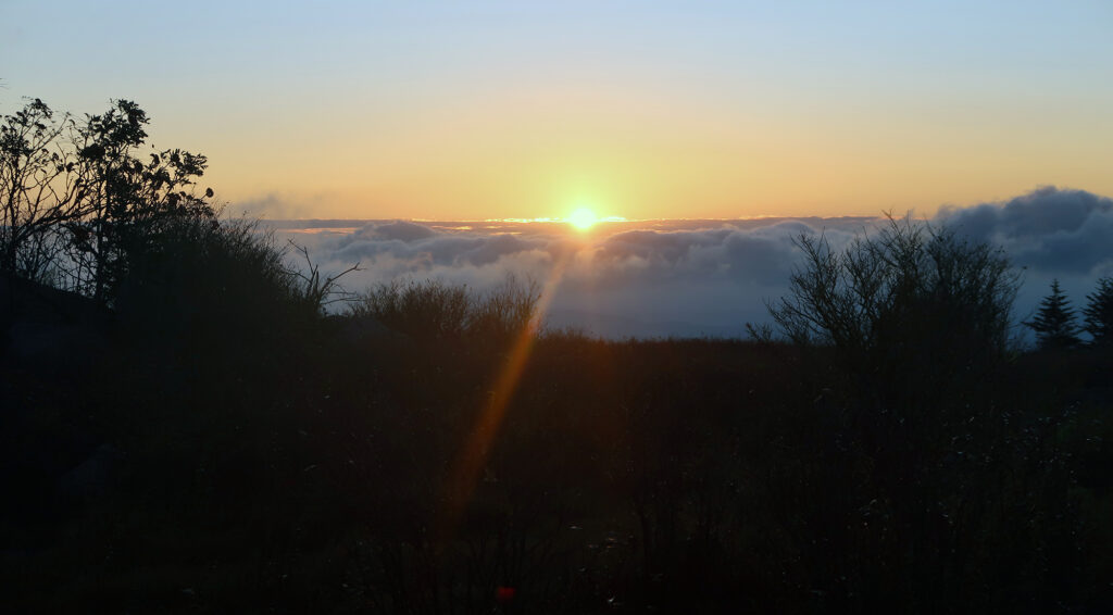
Along the Appalachian Trail
I’d follow the AT for the next 3.5 miles. En route I’d leave behind the windswept open meadows for more forested terrain within the southern limits of the Jefferson National Forest.
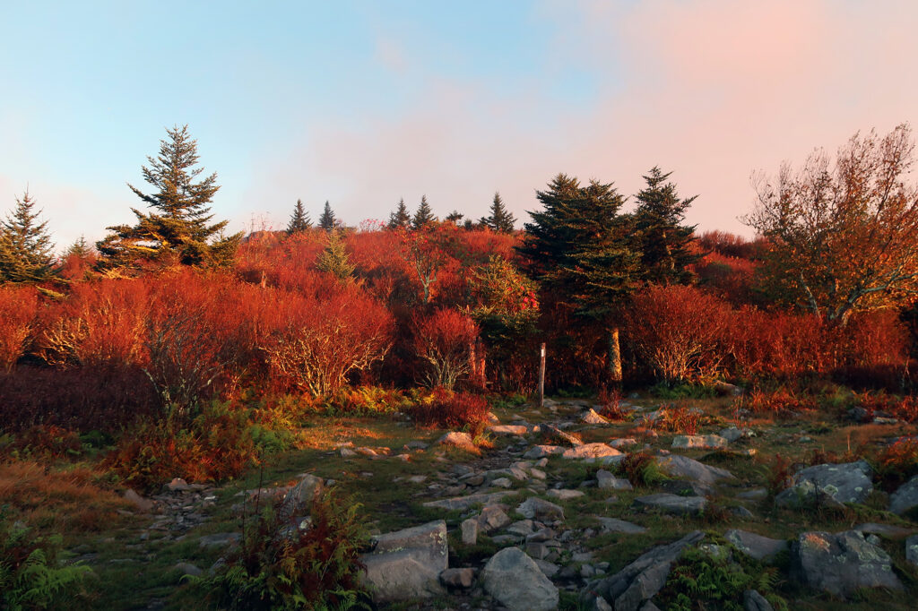
The trail rose gradually over its first two miles. I’d gain 800 vertical feet, before bumbling along a high plateau towards the true summit. I passed a few other hiking groups. It was a prime fall Saturday. There were also folks with giant backpacks who looked and sounded an awful lot like AT thru hikers.
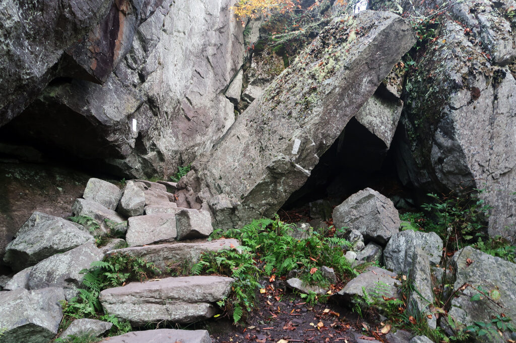
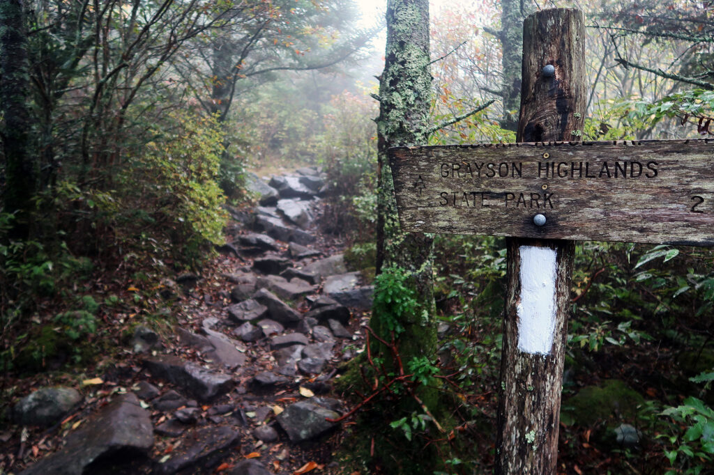
Into the wilderness
After a few miles I entered the Lewis Fork Wilderness, its boundary demarcated with one of the trademark wooden National Forest service signs. It was weird seeing a NFS sign back here on the East Coast, where large swaths of federal land are a rarity.
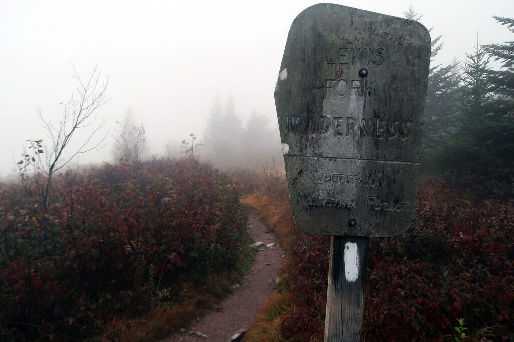
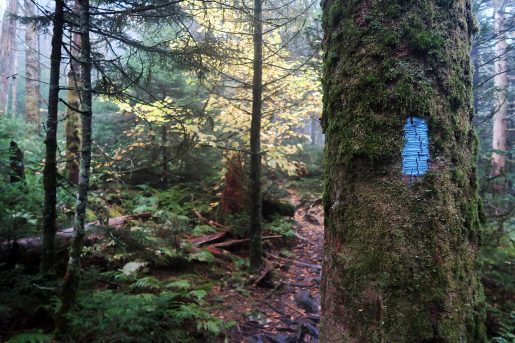
Soon enough I departed the AT, with its characteristic white blaze, and headed along a short, upward spur trail to Mount Rogers’ summit. The fog had grown more and more dense as I ascended. And the woods grew more dump, lush and mossy.
Mount Rogers
Mount Rogers takes its name from William Barton Rogers, a famed naturalist born and educated in Virginia. Rogers is perhaps most famous for founding the Massachusetts Institute of Technology. In my opinion, if you’re going to name a mountain after a dead white man, going with a naturalist is probably the best option.
Just under five miles into my journey I reached Rogers’ summit. Despite being over a mile above sea level, on the side of the country where such an altitude is typically a big deal, the summit seemed … underwhelming. It was broad, flat and forested. The highest point was a slanted boulder amidst the piney woods.
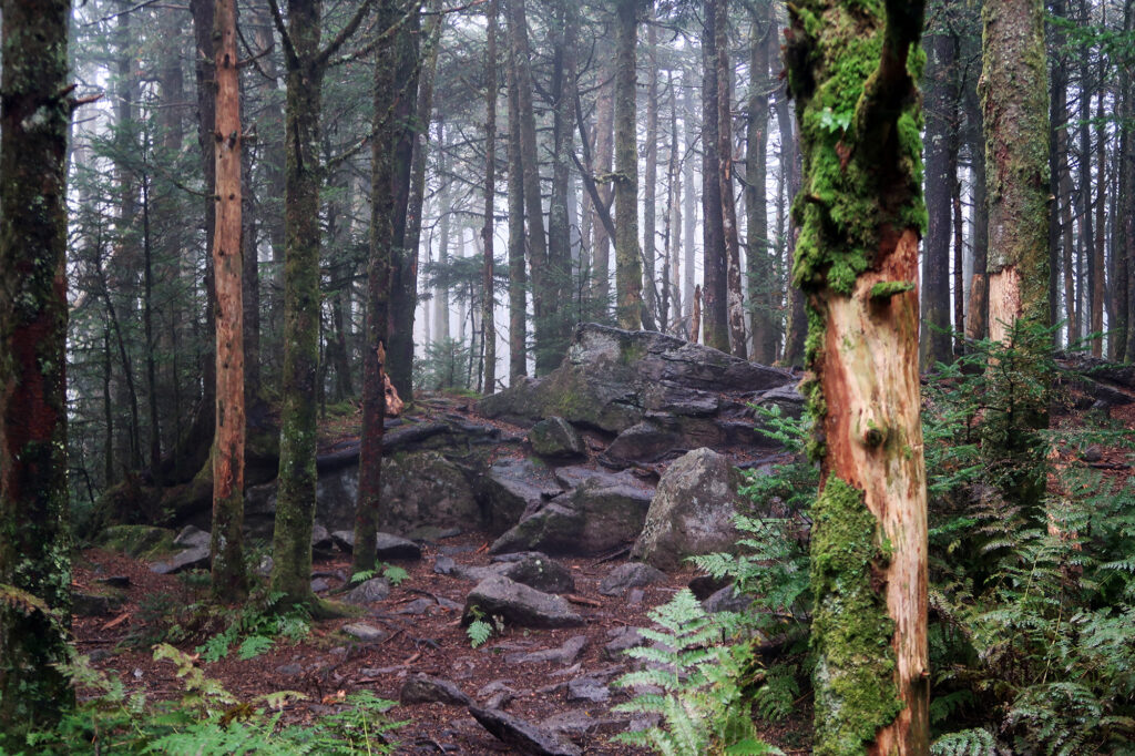
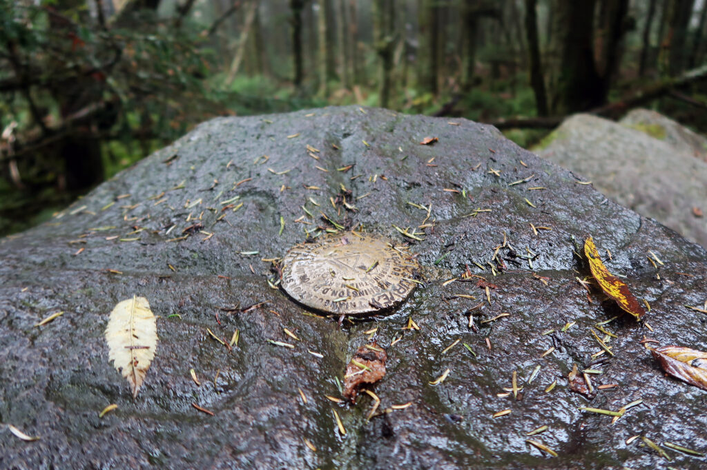
Mount Rogers is somewhat typical of (south)eastern high points: a forested peak within a stone’s throw (or sometimes right on) the Appalachian Trail. It sits within 5.5 miles of the North Carolina border. In fact, the high point of every state bordering North Carolina sits within 10 miles of the North Carolina border.
But Mount Rogers is also somewhat unique among southeastern high points in one respect: you can’t just drive to it. Everyone who visits Virginia’s apex must do so on foot. I mean, I guess you can pay someone to carry you. But no one’s rolling up in a station wagon. So that’s kinda neat.
The journey back
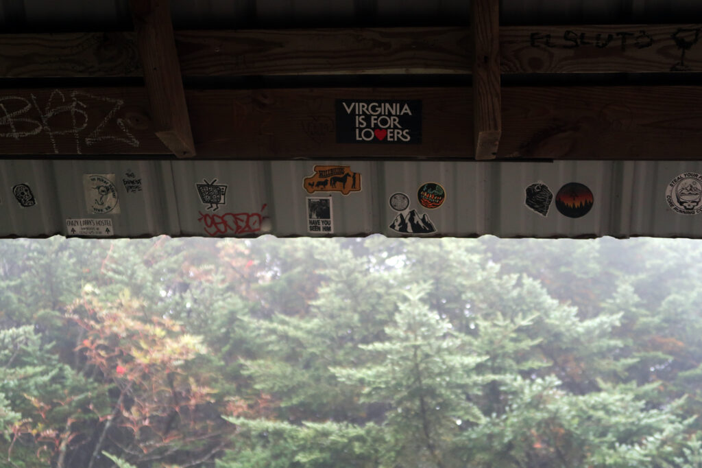
Having reached my destination, there was still over five miles of backtracking to be tramped. And so I headed back down the trail. Along the way I took a short break at a classic AT lean-to.
Wild Ponies
As I traveled back into the Grayson Highlands and the open meadows closer to the trailhead, the skies began to clear. The views opened up and the sun shone warm and bright.
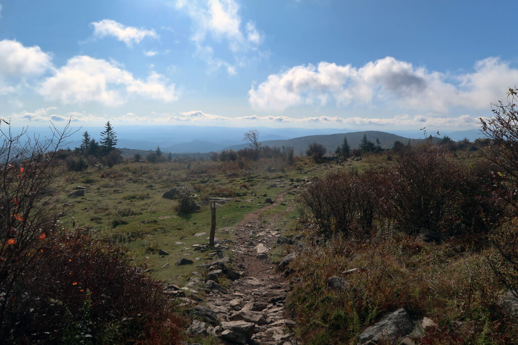
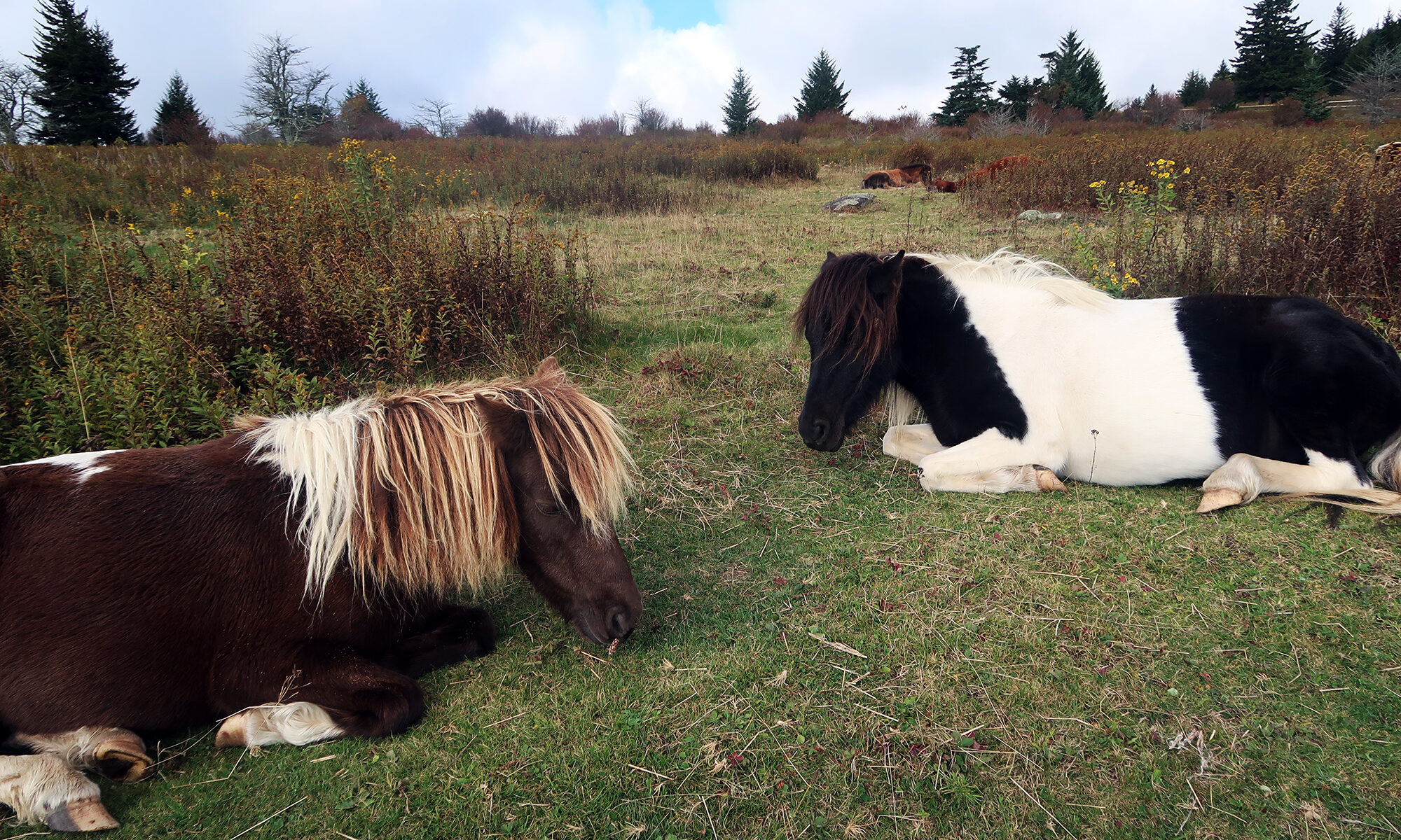
Then I came upon a somewhat unique and delightful scene. There was a small crowd of hikers, standing around and snapping photos of a bunch of … ponies!
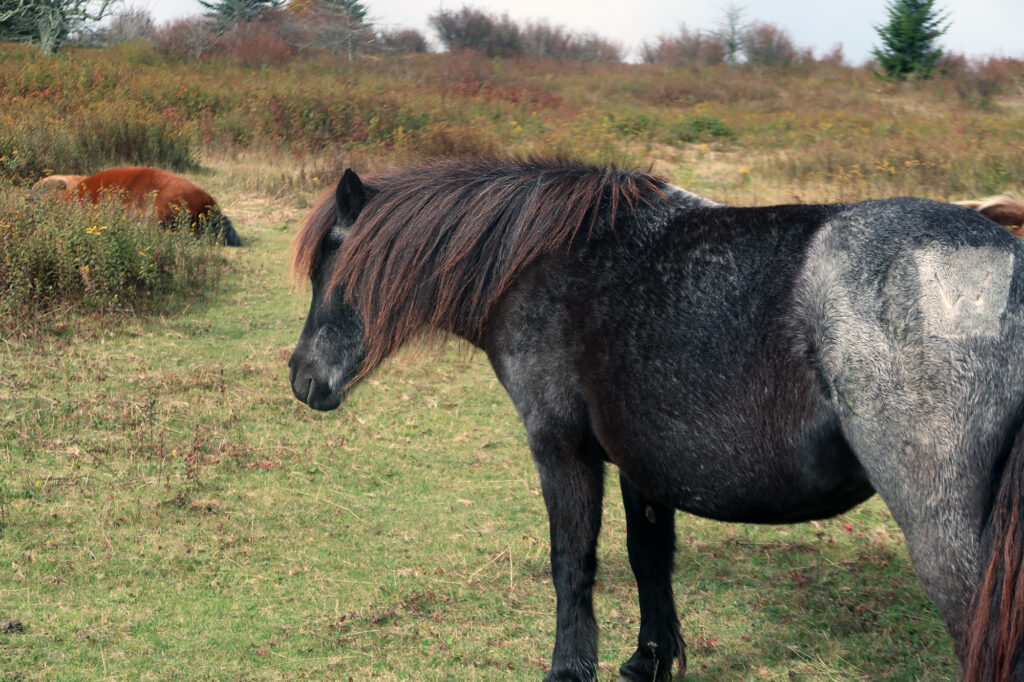
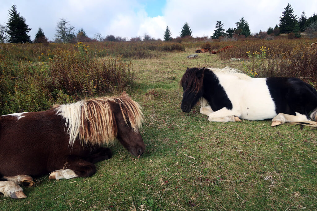
Apparently, this corner of Virginia has been home to a herd of wild ponies since at least the 1940s. Like every horse in North America, they were brought here by Europeans. But aside from some annual checkups and extractions, these stunted equines are left to their own devices, amidst the forests and meadows.
It was a weird and wonderful encounter. And the kind of experience that underscores the best part about trying to visit all the state high points: you get dragged to the most random corners of the country. And you see the most random and interesting things. Like wild ponies amidst the Appalachian Mountains of Virginia.
