March 2, 2025
Golden Gate Canyon
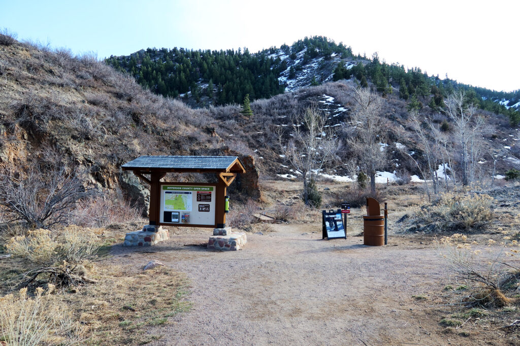
I followed the snaking curves of Golden Gate Canyon Road to the popular trailhead for Mount Galbraith. The Colorado Rockies were near peak snowpack in early March, but down here in the foothills, just west of Golden, the grassy slopes were largely bare.
The trailhead parking was packed full on this sunny Sunday, with perhaps a dozen cars lined up along the road nearby as well. I lucked upon an open spot in the lot itself. I donned my pack and hit the trail.
Microspikes season
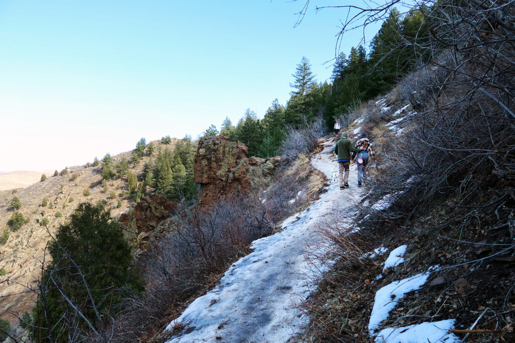
Tucked away on northerly slopes, hidden from the road, there were indeed pockets of snow and ice. The earliest sections of the trail, in particular, were coated in ice, pounded down by countless front ranger footsteps.
Unfortunately I was dumb, and failed to bring my microspikes. So I wasted a bunch of time gingerly stepping out onto the iced sections of trail, hoping for the best. Eventually the lower route turned onto a western exposure and things improved markedly.
Mount Galbraith
Mount Galbraith is not really a true, prominent peak. It’s more of a minor summit of a ridgeline off of the nearby, more-obscure “Crawford Benchmark.”
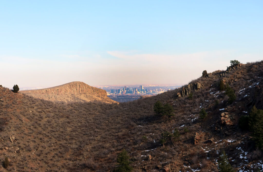
But that doesn’t prevent it from sporting a commanding presence over the charming foothills town of Golden. In fact it probably ranks as one of the better foothills summits, with commanding views and a well-maintained, gently graded trail to its peak. The county park restricts access to just hikers, so you won’t be dealing with mountain bikes or motorized vehicles.
The peak is named for Denman Galbraith a prominent mid-century resident of Golden, who published a series of historical accounts of the town. Oddly enough I share the same birthday with Galbraith, though several decades removed!
Views from the top
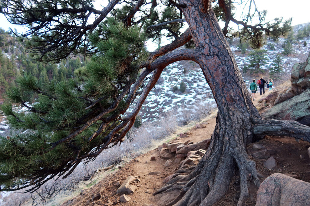
The hike to the summit ascends just under 1000 feet. About 600 feet up, you the “upper loop” where you can choose to ascend to the left or right. This makes the trail a “lollipop” rather than a simple out-and-back.
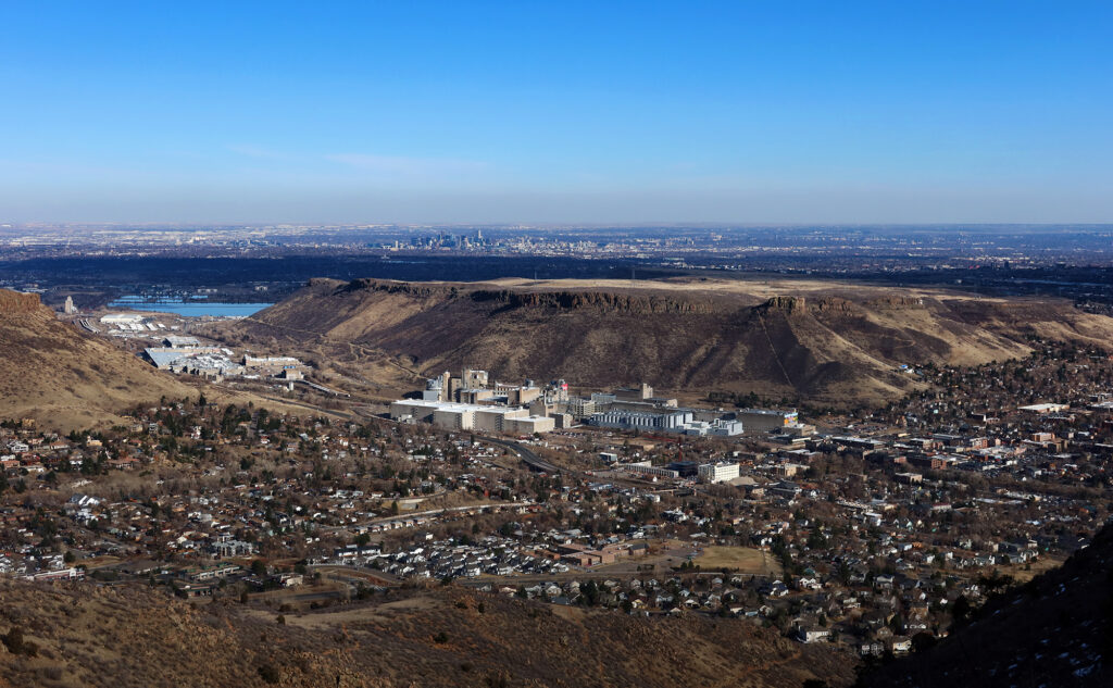
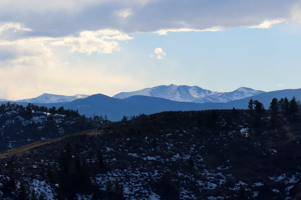
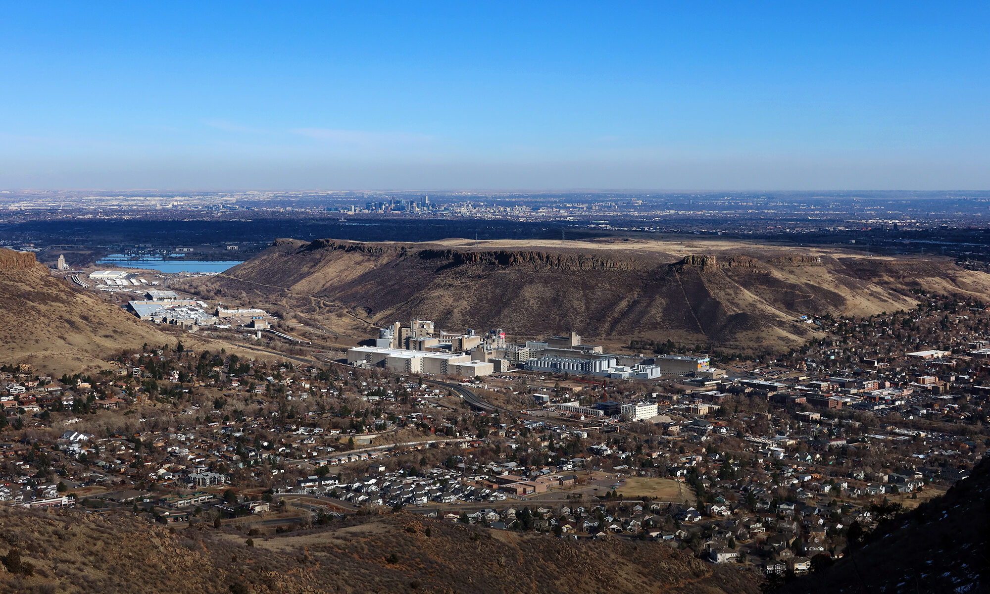
The upper loop features some excellent views to both the East and West. To the East, Golden, North Table Mountain and Greater Denver sprawl out onto the Eastern Plains. To the West, the snow-capped summits of the Continental Divide poke in and out of view. Overall, it’s a decent bang for your buck.