January 20, 2024
Arrival
I pulled into the small trailhead parking lot below Monument Canyon around 8 am. Being mid-January, this meant the sun was only just beginning to rise above the tall hills and mesas to the East. Above me was Colorado National Monument, in my opinion among the most underrated units in the National Park system. Less than a mile in the opposite direction was the muddy floodplain of the Colorado River.
When you think “Colorado in January” you think snow and mountains and pine trees. Particularly when you think Western Colorado in January. But I was about as far west as you could go in the state, near Grand Junction and only a handful of miles from the Utah border. Down here around 4800′ (among the lowest points in the state), the ground was dry. This was red rock desert country, just a stone’s throw from Moab.
And for this reason I was excited. I was training for an upcoming mountain climb with increasing amounts of pack weight. This usually meant snowshoeing through the Sawatch or Ten Mile ranges. On this day, those ranges were enmeshed in a dramatic snow storm. But down here in Grand Junction, there was only a dusting of snow in the higher elevations. I was excited for the change in scenery!
Into lower Monument Canyon
Most visitors enter Colorado National Monument via the stunning Rim Rock Drive. The drive is roughly horse-shoe shaped, entering the park at both its eastern and western extremes. It winds up onto a higher plateau, snaking its way above the numerous canyons and sub-canyons of the monument.
But a handful of lower-down trailheads exist, allowing hikers to take on more traditional-format adventures (start low, head higher). The Monument Canyon trail is one of the more popular of these hikes. I had driven Rim Rock Drive and done shorter hikes around the monument from there. But now I was excited to tackle a beefier adventure down in the heart of the canyons.
Before doing so, however, the trail skirts the edge of private properties. A small housing development, full of large McMansions, abuts the monument here. The trail travels southeast, right along the straight-line property boundary, against wire fencing. It is what it is.
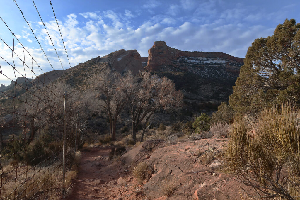
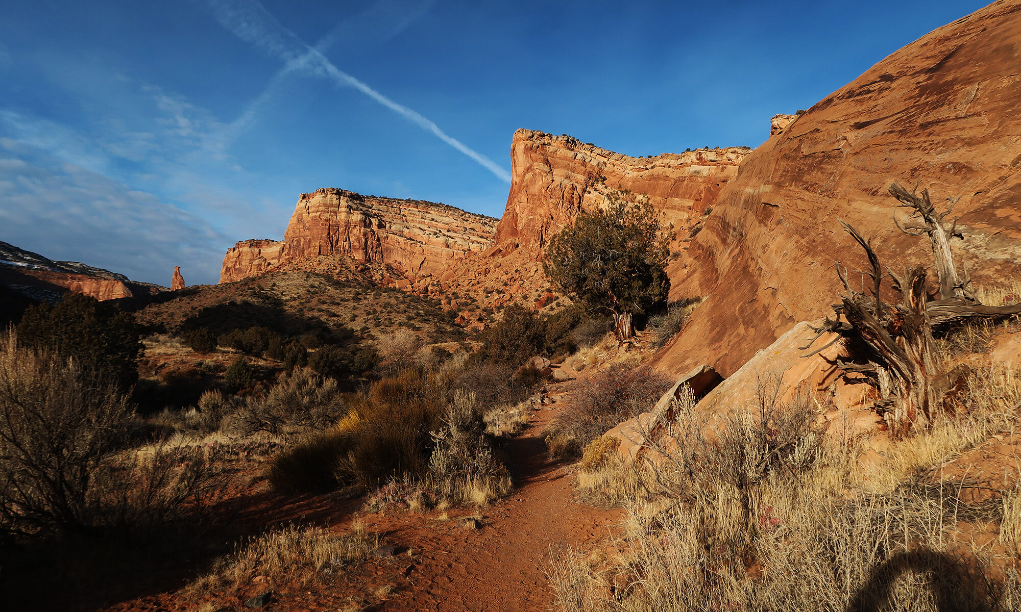
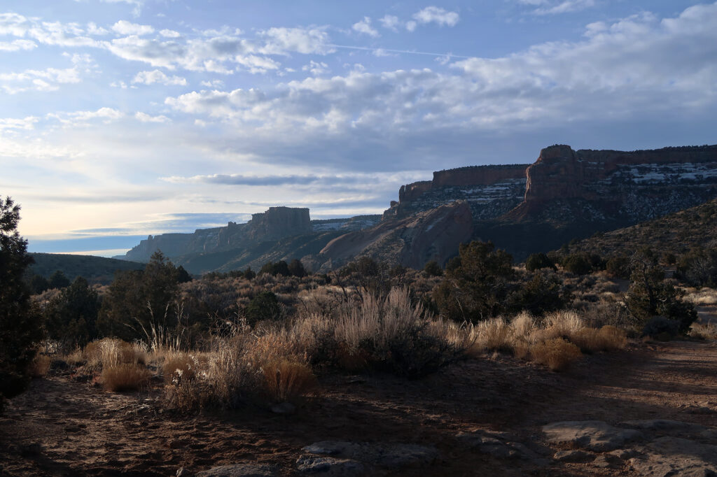
Soon enough, however, I had reached the base of the canyon, and the trail ascended into its gorgeous lower expanses. The snowstorm dumping on the high rockies that day had passed through Grand Junction area just a day or two before. And it left a gorgeous dusting of snow on select cliff faces around the monument.But mostly, the trail remained dry, with red rock and desert flora on full display.
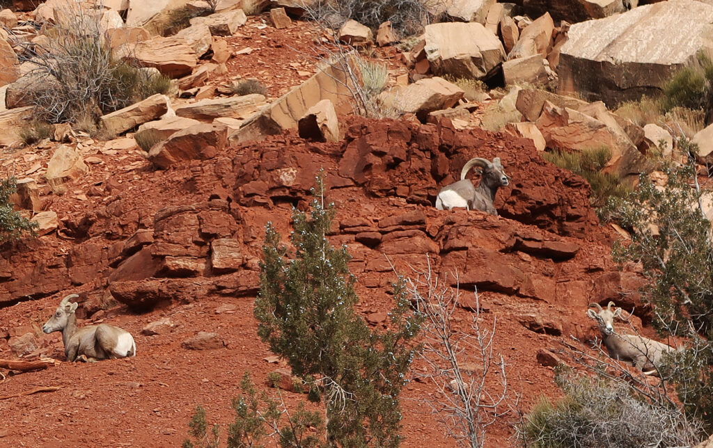
I passed a pair of fellow morning hikers here. They were among the very few people I’d see that day. We all stopped to observe some gorgeous bighorn sheep, grazing nearby.
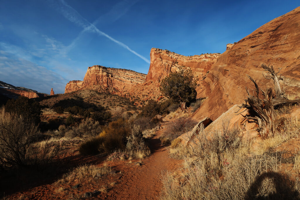
Towards Independence Monument
The “lower half” of my hike ran roughly from the trailhead to Independence Monument. It ran just under 2.5 miles, ascending roughly 500 vertical feet. It was not particularly steep.
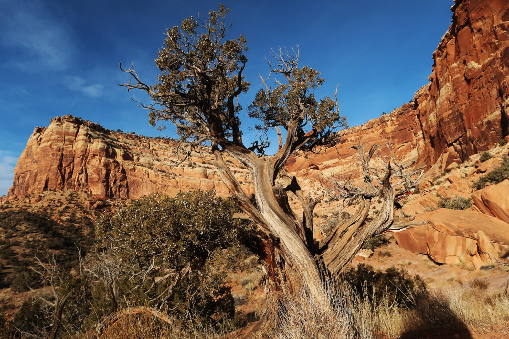
The views down on this lower section were incredible. Here, the red rock cliffs towered hundreds of feet over the broad canyon floors. I mentioned it before and I’ll say it again: Colorado National Monument is underrated. It hides safely under the radar thanks to it’s non-“Park” status. And it’s understandably overshadowed by the nearby “mighty five” parks of Southern Utah (including very nearby Arches). But just, wow! This place is beautiful.
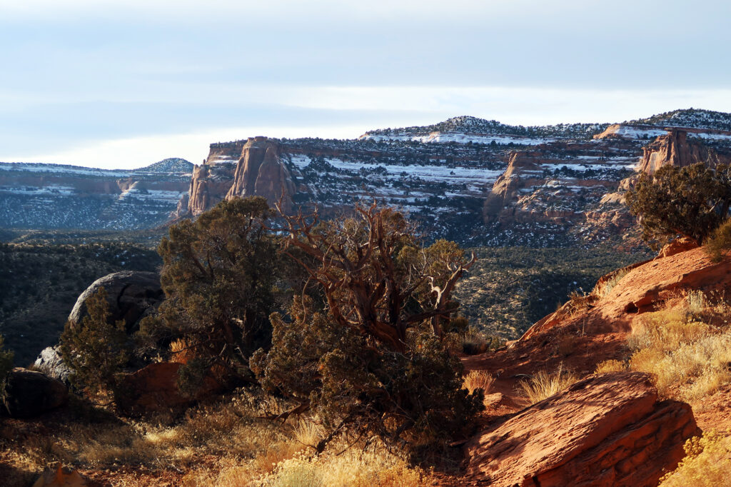
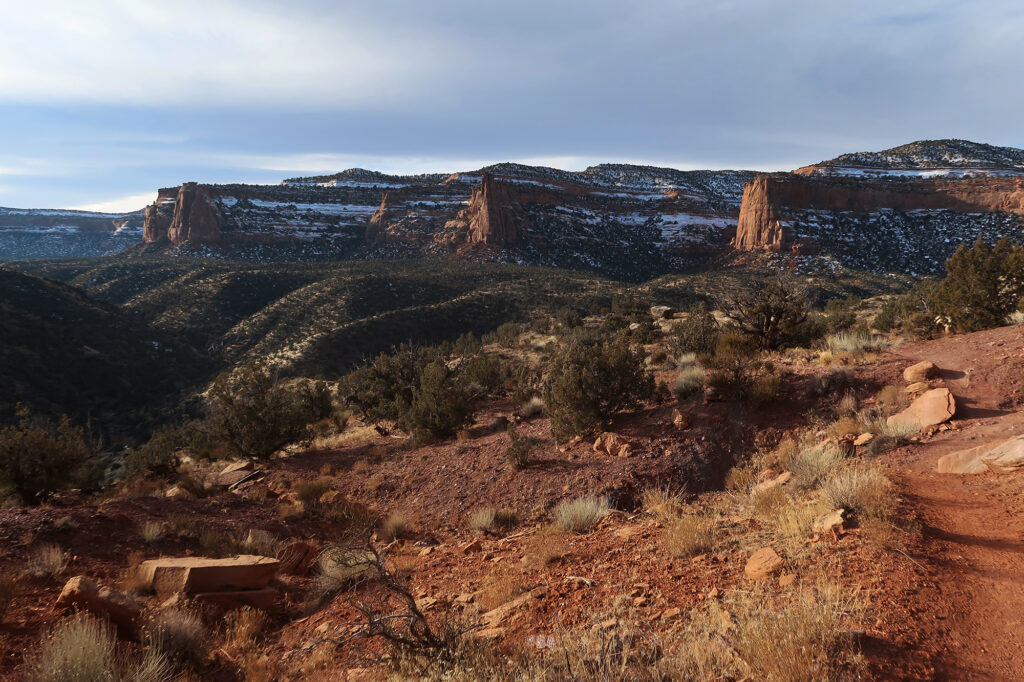
Eventually, the trail approached Independence Monument, a somewhat unique towering pinnacle amidst the canyons. Here erosion had effectively merged two canyons together. A small fragmented remnant of their dividing wall remained, with the appearance of a lone tower of stone.
By some mildly interesting coincidence, the trail reaches 5280′ at the base of this star attraction. That’s a mile above sea level and the same elevation as the state capitol in Denver.
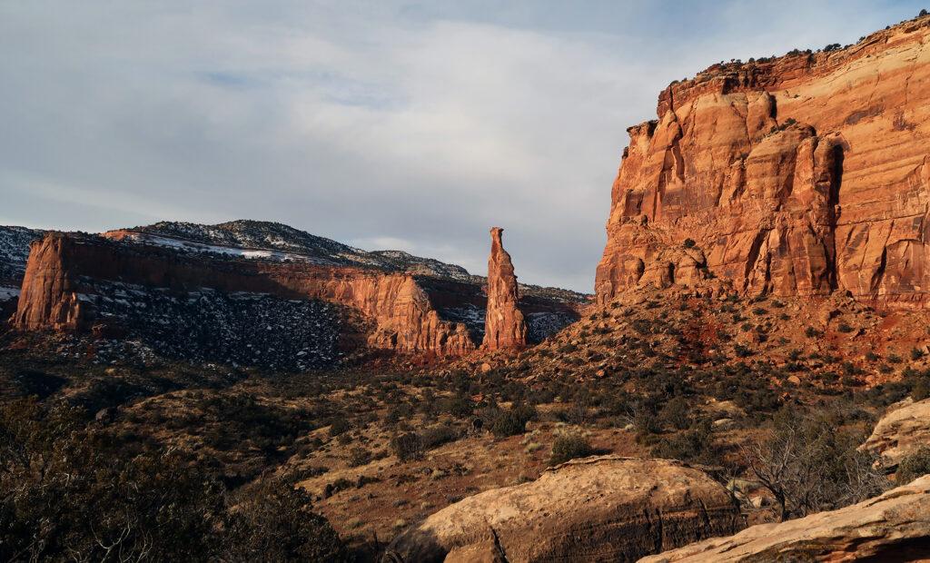
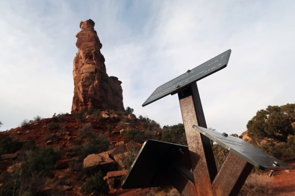
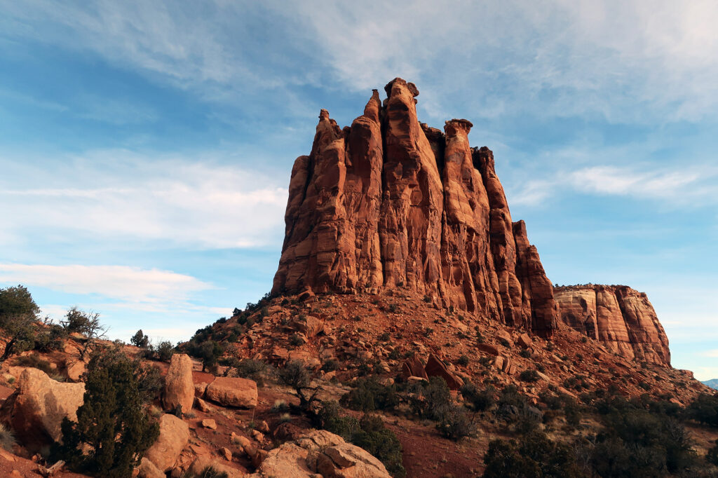
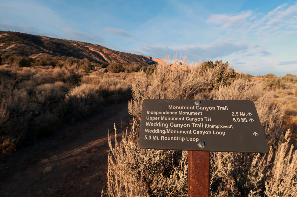
From here, hikers have some choices. Indy Monument is a great payoff for an hour of exercise in its own right, and you can just turn around back down the canyon. There’s also an alternative route back to the trailhead, further west through “Wedding Canyon”. Signage warns the trail is “unimproved” but it seemed fine to me.
Or you can continue further, trending south and East, and climb towards Rim Rock Drive. I chose to continue along this “upper half” of the route.
Upper Monument Canyon
From here the trail grew shadier and felt less traveled. It ran beneath the upper canyon walls, at a rolling, gentle pitch. The canyon walls grew shorter here, as the base of the canyon climbed slowly in elevation. This section was less “breathtaking” than the lower canyon, but still very beautiful and more secluded. In total, the trail runs from six miles from trailhead to Rim Rock Drive.
Eventually I reached another marquis attraction of the monument, seen from a new angle: the Coke Ovens, These were a series of rotund, smooth rock formations, that resembled clay ovens.
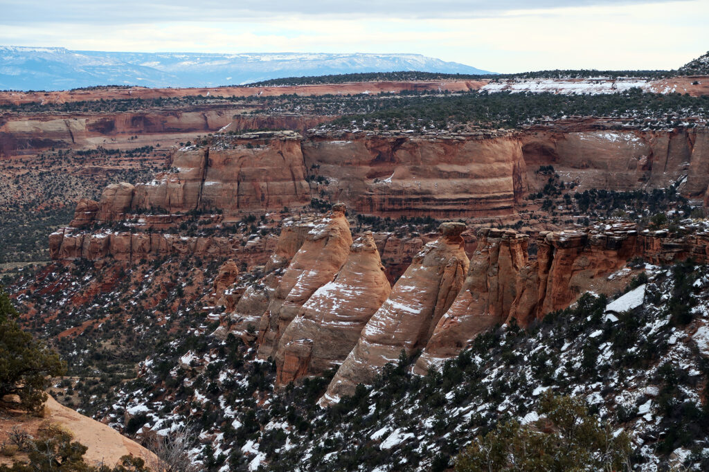
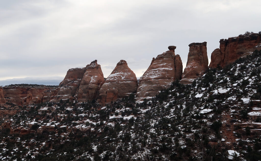
Around here, you run out of “canyon floor”. With no place to go but up, the trail begins to switchback up steeper piles of rock, hugging ever-closer to the shrinking canyon walls. The “grand final” was a series of steeper switchbacks. The trail made use of a big pile of crumbled rock and dirt that manages to safely deliver you right up to the top of the canyon. No rock climbing necessary.
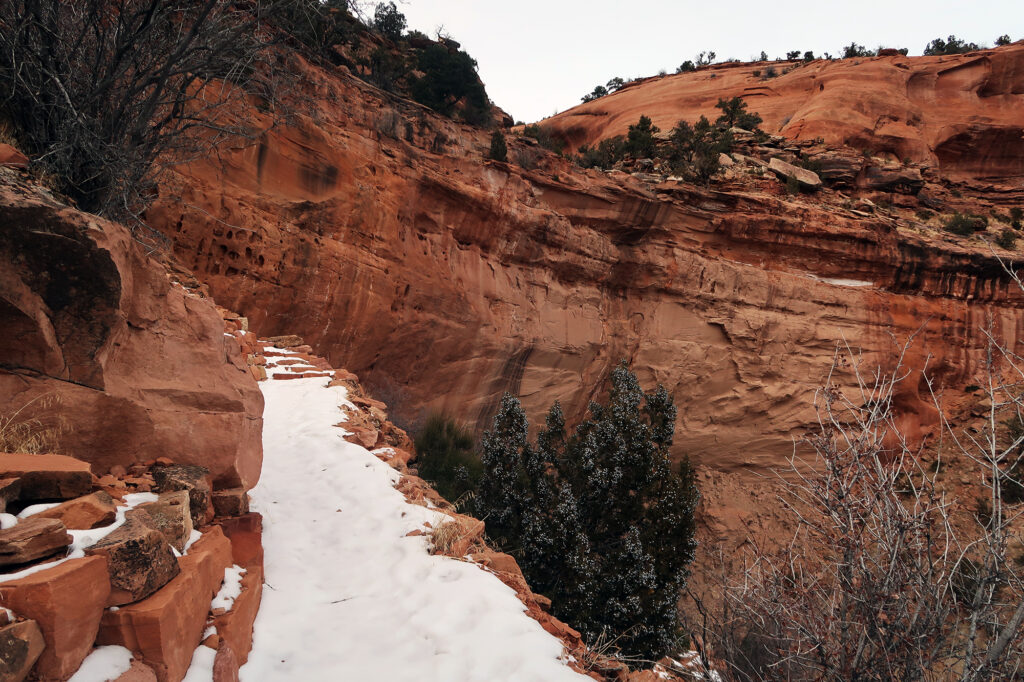
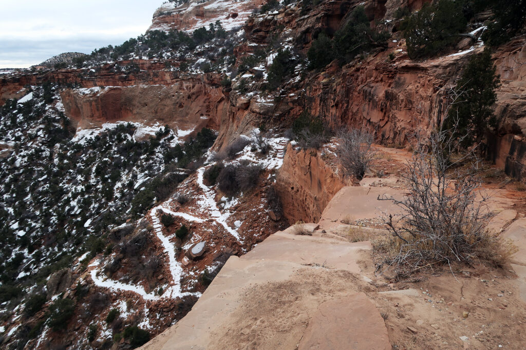
And moments later, the trail topped out, reaching Rim Rock Drive. I leaned against some interpretative signage at the pull-off, and soaked in views to the north of the Grand Junction area. Then it was time to head back down.
Wedding Canyon Trail and Bighorn Sheep
Unless someone awesome is waiting on Rim Rock Drive to pick you up, the next step of the journey is to do it all in reverse! And so I pulled on some microspikes and headed back down the snowy upper trail. Aside from the steep final ascent, the upper 3.5 miles of the route are rolling to gently downhill. This means you need to leave a bunch of gas in the tank for the return journey. In total, the trail involves about 1900′ of gross vertical.
Back at Independence Monument, I elected to take the “unimproved” Wedding Canyon trail. Like many hikers, I mostly prefer “loop” hikes to “out and backs”. It’s a chance to add in more novelty, and more unique scenery.
I was rewarded for this sense of adventure! Along this route I passed a small group of beautiful big horn sheep, lounging on rocks just above the trail. I’ve visited Colorado National Monument four times now, and have seen big horn sheep on three of those trips. They seem to love the rocky, mid-elevation landscape.
