
Jan 24, 2025
Acclimating to Ecuador
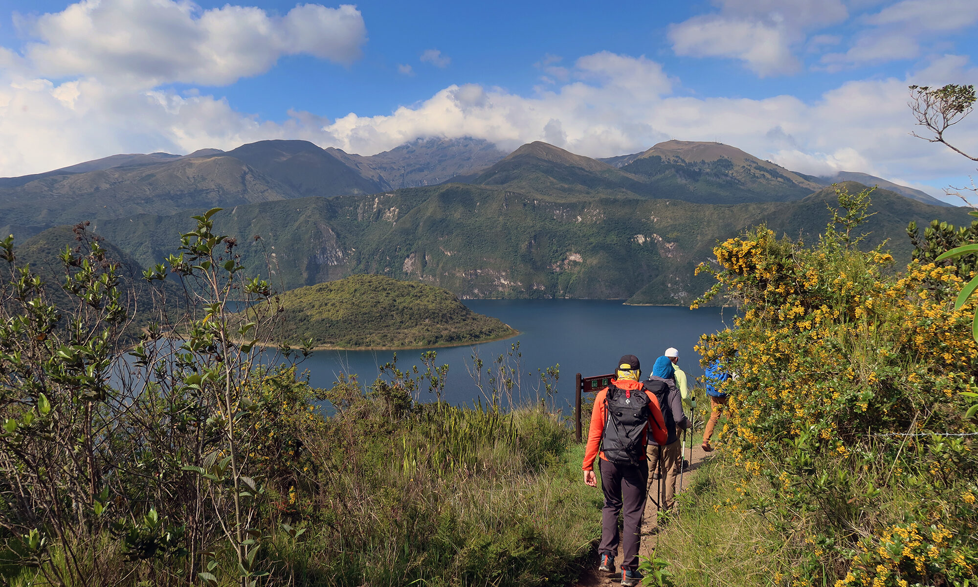
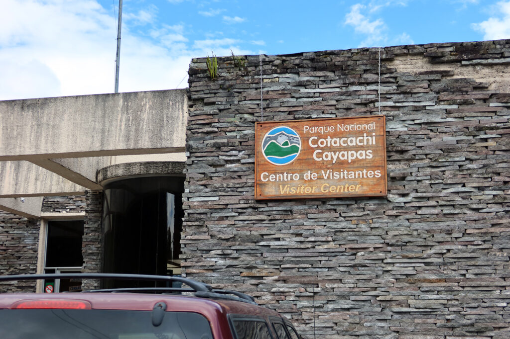
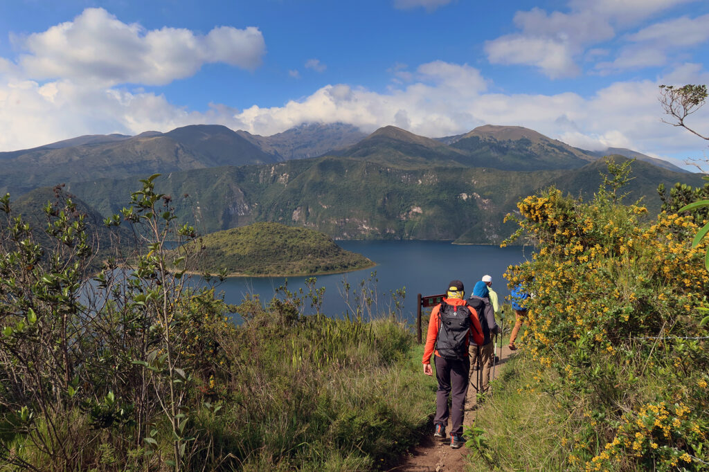
We arrived at Ecuador‘s Cotacachi-Cayapas National Park for a quick hike around the gorgeous Cuicocha Lake. We unloaded our bus, fresh from trundling up the hillside above Otavalo in the Andean Highlands north of Quito. The park was almost entirely empty on this drizzly Friday in late-January—quiet, moody, and ours to explore.
I’d arrived in Ecuador a few days earlier to join a guided climb of some of the country’s tallest volcanoes. But before the big ascents, we needed a couple of solid acclimation hikes. After pushing to 15,500 feet near the capital, we dialed things back for a bit of “active recovery” — a mellow circuit around Cuicocha Lake’s crater rim.
Single-track and flowers
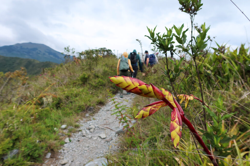
The hike’s rolling profile involved a gross gain of roughly 2,200′ over 7.5 miles. The route was mostly just gently-sloped dirt single track. Perfect for a family outing or day hike. We hit it counterclockwise … which always feels like the logical move.
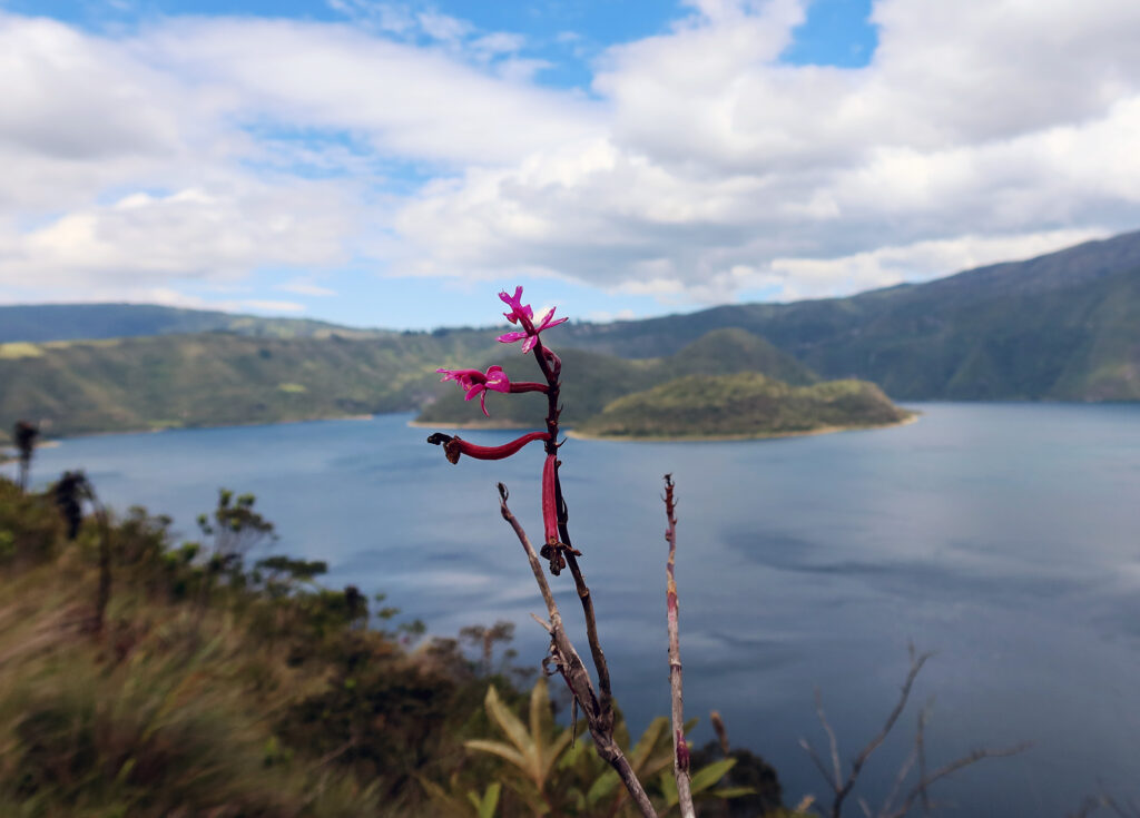
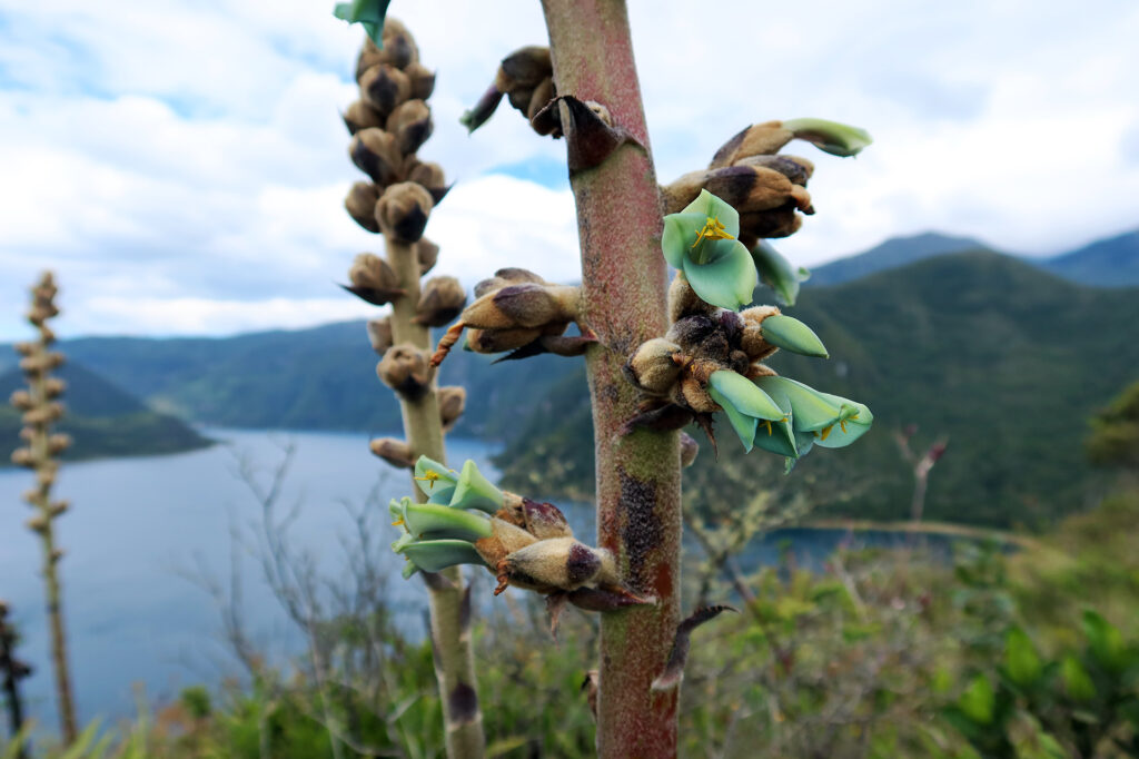
I stopped often to photograph the beautiful native flowers. Despite being on the equator, Ecuador still has “seasons” — wet and dry. January was in the heart of the “wet season” and typically considered their winter. Even still, there were plenty of budding flowers, including some wild orchids!
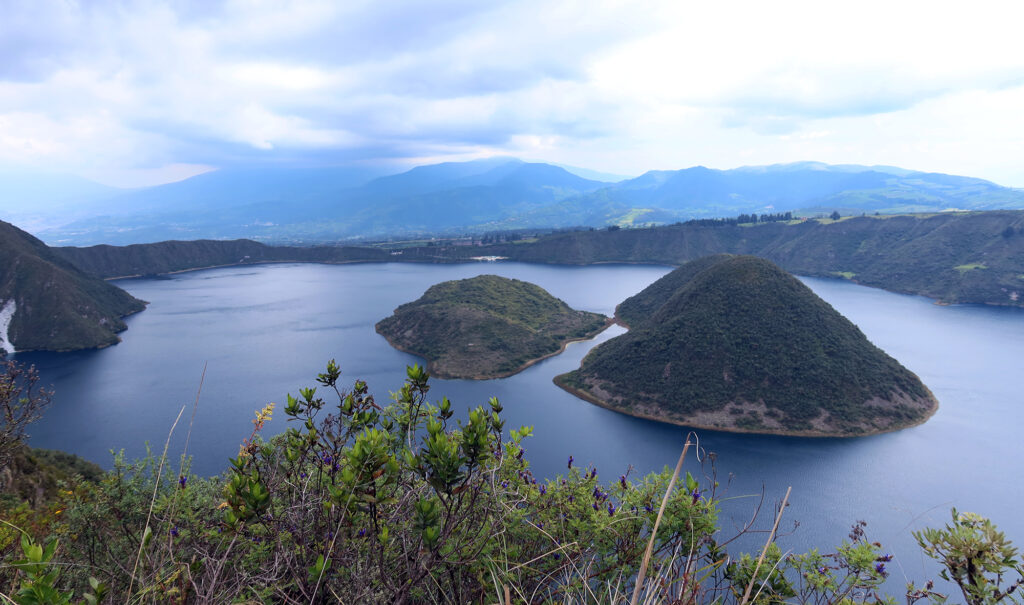
Guinea Pig Lake
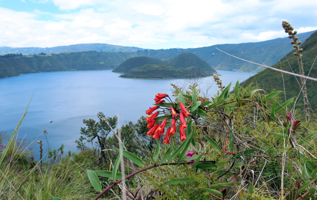
Cuicocha, or Kuykucha, translates to “Lake of Guinea Pigs” or simply “Guinea Pig Lake.” The rodents, known locally as cuy (or kuy in Kichwa), are native to the Andes. They grow quickly and don’t require much food, making them a reliable source of protein in the Andean highlands.
One theory is that the larger of the two islands in Cuicocha Lake resembles a guinea pig. I personally saw it more as a giant capybara, soaking in the water.
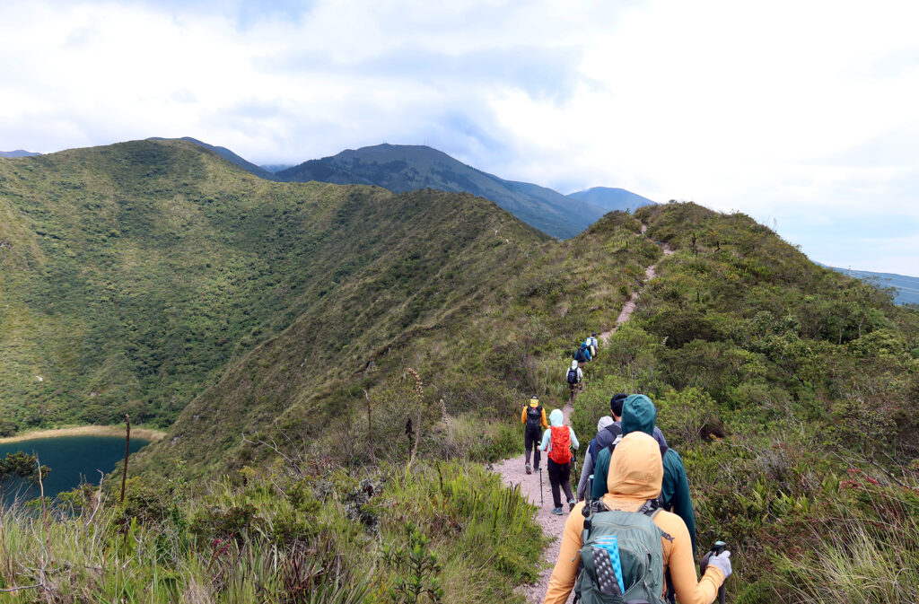
Cuicocha Lake sits at the foot of Cotacachi Volcano (not to be confused with the taller Cotopaxi, further south). But the lake itself is a collapsed volcano — a caldera, geologically similar to Oregon’s Crater Lake, complete with islands that formed after the eruption and collapse. The volcano blew apart roughly 3,100 years ago, enriching the region around Otavalo with incredibly fertile volcanic soil.
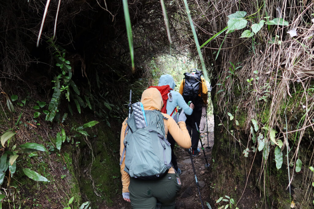
Our trail circumnavigated the caldera, occasionally coming close to the steep slopes that plunged towards the deep, freshwater lake.
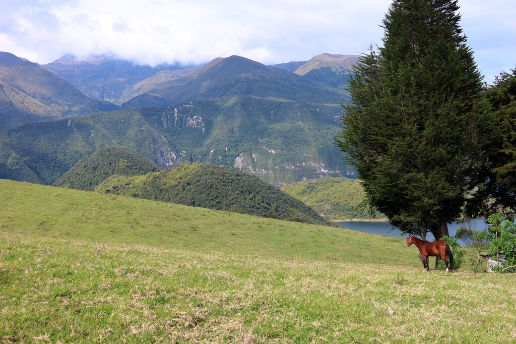
Sunshine for the finish
We rounded the backside of the lake, and the trail began to descend. The trail passed into more grassy pasture/farmland. The weather also began to shift towards some sunshine. I’m not sure if Cuicocha Lake affords any views of nearby volcanoes like Cayambe. But we certainly did not have those kinds of sight lines on this moody day.
Nonetheless, this was a chill hike, and definitely worth the trek from cities like Quito or Otavalo.
I loved reading your recaps of Cuicocha and Ruku Pichincha….six months later, I’m finally IDing plants, learning about Ecuador’s weather patterns, and discovering that TelefériQo is an (only “slightly”) clever portmanteau of “teleférico.”
It’s been a pleasure to ride TWO very high chairlifts with you! Come to California sometime and I’ll buy you a fuel canister and take you to Wal-Mart.
@Meghan loved sharing this experience with you! I need to get Cayambe posted 🙂