October 12, 2023
Arrival
I drove winding roads, into the heart of the Chattahoochee National Forest. It was just after sunrise, on a rainy Thursday in October. Which is to say, I had these country byways all to myself. Fall colors were just coming in in these southernmost hills of the Appalachians.
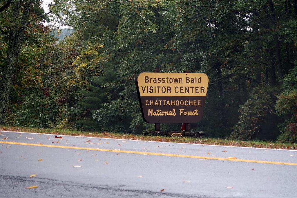
My mission that day was simple: hike to Brasstown Bald, Georgia’s highest natural point. You can, in fact, drive to just beneath its broad summit. But I opted to begin much further down, near what might reasonably be called the mountains “base”. And so I parked at the Wolfpen Ridge Trailhead, just before the forest service entrance sign for the summit road.
I was in the home stretch of a week of “high pointing” in the Southern Appalachians. In just the past few days I had hiked to the summits of Virginia, Kentucky, North Carolina and Tennessee. While this sounds like a lot of travel, it was mostly just a circumnavigation of North Carolina. The high point for every state bordering North Carolina sits within just a few miles of its border. Georgia’s Brasstown Bald, at 10 miles from the border, is actually the furthest away!
As I pulled into the trailhead, I began reviewing the hiking route I’d be taking. The gross vertical ascent surprised me—nearly 2000 feet! In my mind, Georgia would be a relatively short and gentle hike. Certainly a “cool down” after Mount Mitchell. But 2000 vert was pretty substantial!
Up Wolfpen Ridge
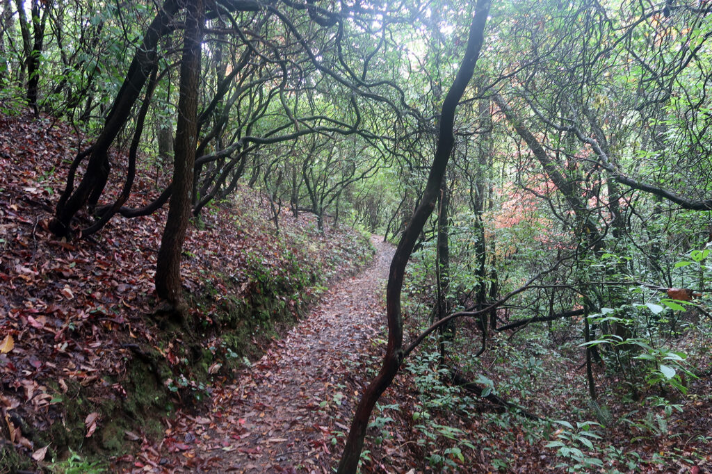
I got right to it. The trail immediately entered deciduous forest, ascending gentle switchbacks along the spine of Wolfpen Ridge. Recent rain coated green leaves above, and ample orange leaves coating the forest floor. The moisture made the colors really pop.
The trail ascended beneath the canopy of spindly, stunted … trees? I got the sense they may be rhododendron or mountain laurel. Whatever the case, it felt appropriate for Georgia.
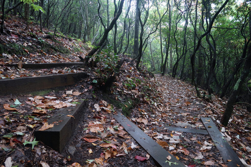
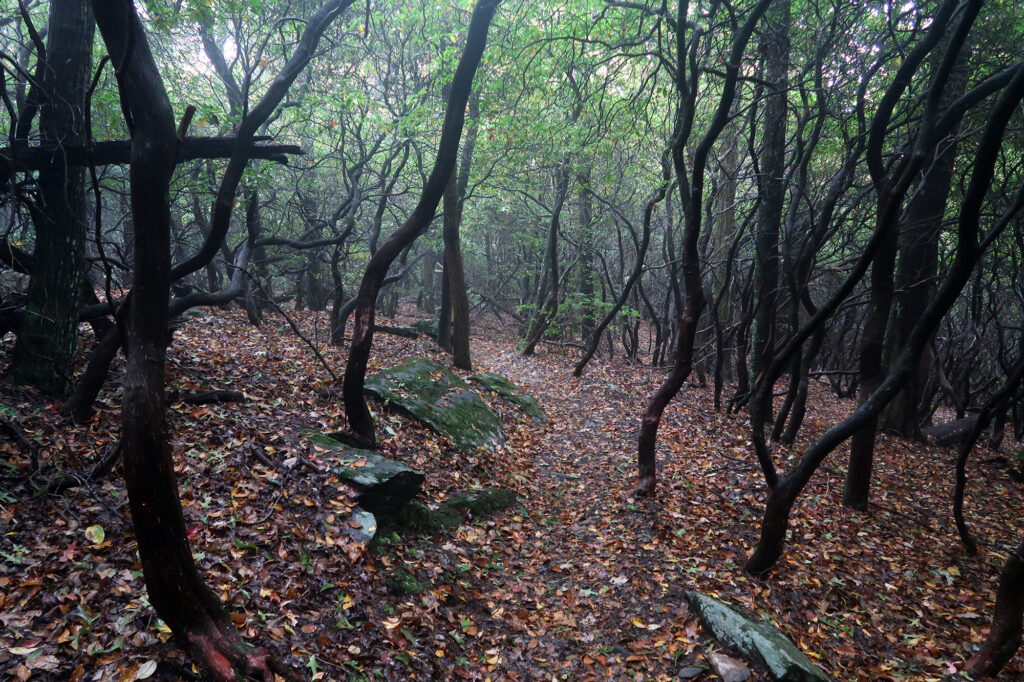
The trail reached a drawn-out apex known as Wolfpen Ridge, a minor summit to the south of Brasstown Bald. The ridge remained largely wooded, and between the trees and the fog I did not enjoy any far-reaching views. Then the trail descended for 200 vertical feet, towards a parking area for the high point’s summit.
Towards the Summit
I reached a surprisingly massive parking area, roughly 400 vertical feet below the summit. The lot stretched across a broad, flat saddle between Wolfpen Ridge and the summit. Only a handful of cars sat in the massive lot on this foggy Thursday.
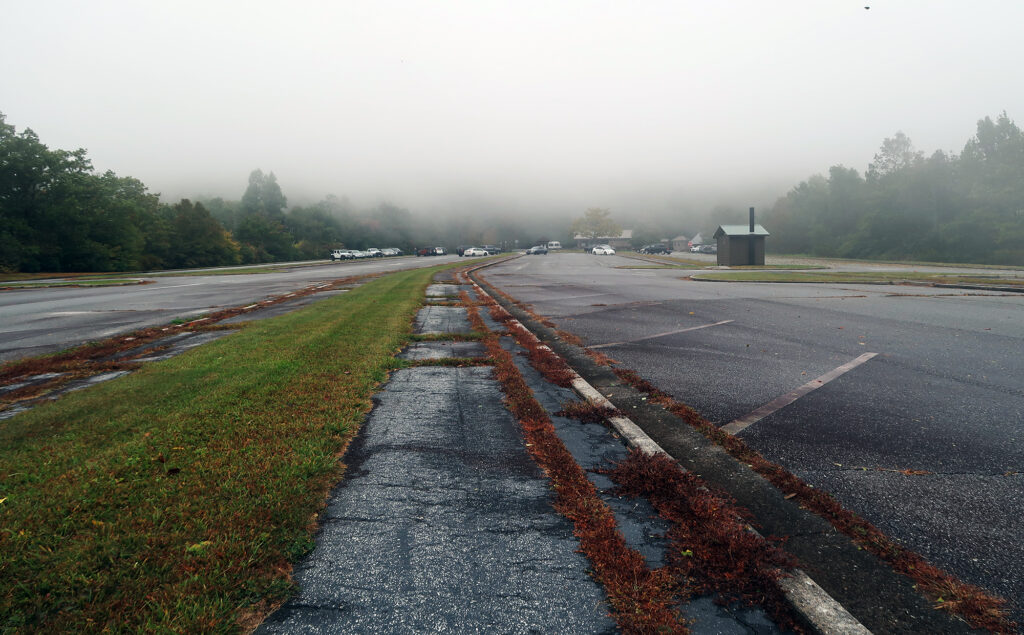
From here, a paved trail began ramping up, through more woods, towards the true summit. This complex was clearly built to handle crowds. Roughly 3/4ths of the way up, the path crossed a full auto road, intended to provide ADA/shuttle access to the summit complex.
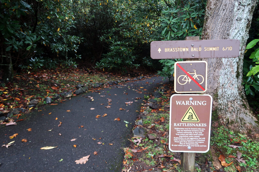
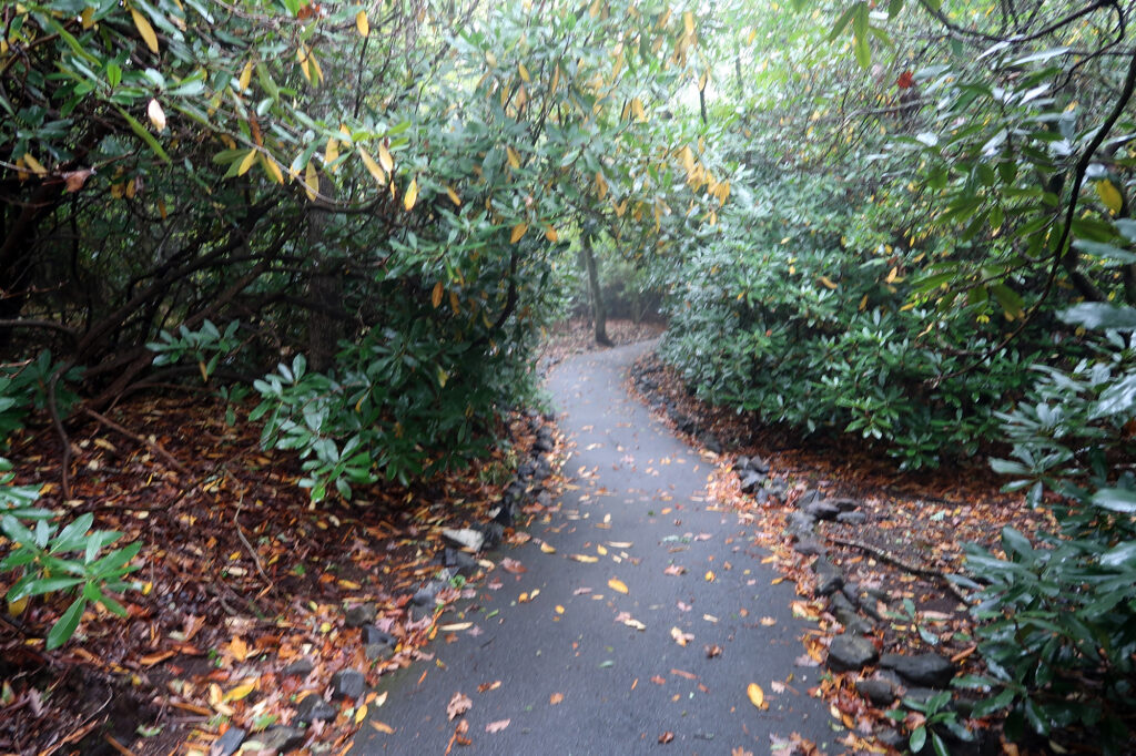
Brasstown Bald
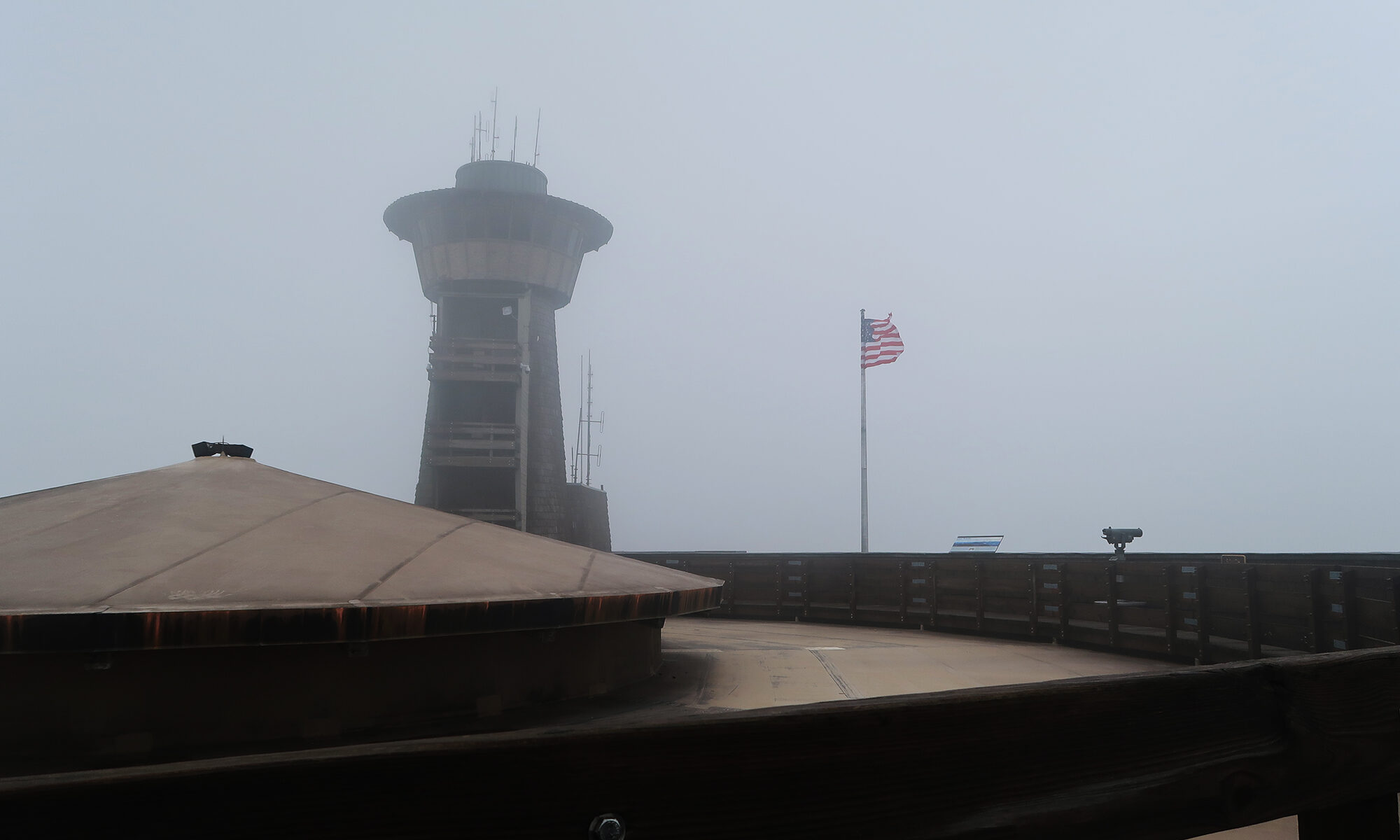
Brasstown Bald, Georgia’s highest peak, sits in the southernmost region of the Blue Ridge Mountains. The name derives from the nearby town of Brasstown, itself named after a mis-translation of a Cherokee phrase meaning “new green place.” “Bald” refers to the summit being devoid of trees, with ample views. I’m told, on a clear day, you can see the tallest buildings of far-off Atlanta. But on my visit, I could barely see the length of a football field.
Nearly two hours after leaving my car, I finally arrived at the summit. Like many southeastern state high points, this involved the underwhelming experience of arriving at the end of a paved roadway, with buildings and vehicles and ample human development.
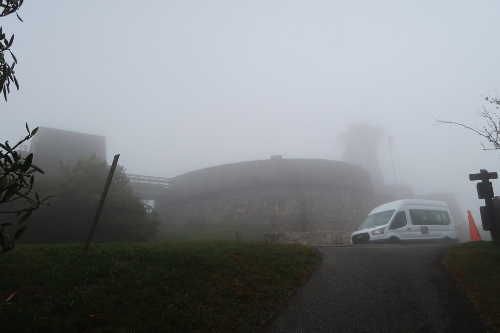
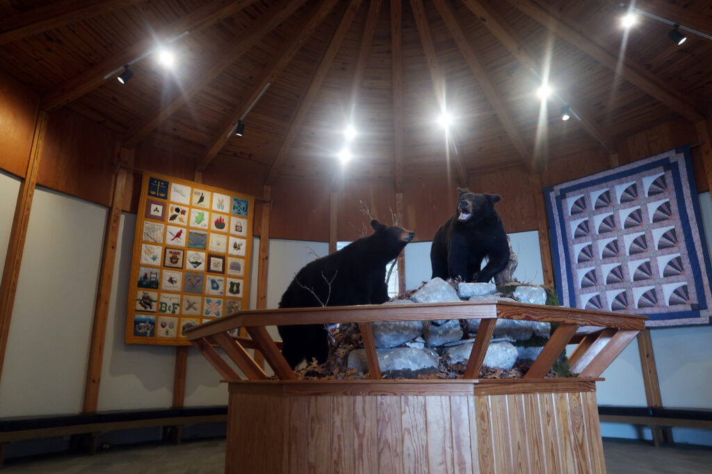
I set about exploring the summit buildings. This was a destination clearly designed to host large groups of school children and other curious visitors. There was a small movie theater, showing a film on loop about the nature and weather on the summit. The movie proudly noted that the Peach State’s summit often hosts snow and ice in winter. The main, round segment of the complex had numerous exhibits on mountain flora and fauna and the earlier Cherokee inhabitants. There was a lot of taxidermy, mannequins, and dioramas.
The descent
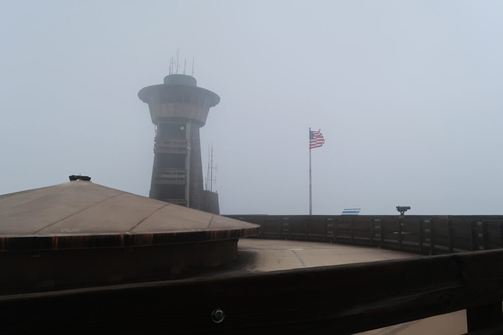
I strolled along the roof of the complex, which under normal circumstances probably showcased some beautiful views. A cool weather observation tower loomed over the scene. I joke about mountains getting overdeveloped, particularly in this region of the country. But it’s actually a great thing that some of these summits can host a very broad array of visitors, even those unable or uninterested in shouldering a pack and hiking several miles through the woods. This is one of many ways to get more people engaged with our natural areas.
And then it was time to descend, back to the trailhead. I did the whole hike in reverse, enjoying more time between the giant maybe-rhododendrons. By noon I was back at my car, ready to go enjoy a nap.
